|
| Yep, it got pretty cold last night. |
The cold misty rain had continued all night and once again I laid in the tent for awhile after the new day had arrived, forlornly hoping that the passing showers might stop. Eventually I decided to brave the cold, grey day though. Climbing out of the tent pulling on an extra layer while I staggered to my feet, I noticed that the pitter patter that I’d been hearing on the fly of my tent for the last couple of hours wasn’t actually rain, nope it was ice. Yeah, it must of been cold enough last night for a thin covering of ice to cover the Snow Gums and now as the new day arrived and the temperature crept into positive territory the ice was breaking off from the trees and heading for the ground….or my tent, or my head, still better than rain in my books. Once again the old Mt Whitelaw Hut chimney came in handy as I cooked breakfast and packed up, giving me a modicum of protection from the elements.
 |
 |
| The old chimney came in handy again packing up this morning. |
|
All packed up by around 9am this morning I shouldered my pack (now considerably lighter and smaller due to me wearing all my wet weather gear) and set off towards Stronachs Camp. With a fairly constant shower of ice raining down on me I had to make do with my waterproof camera this morning, not that it mattered a lot as I was enveloped in mist for a fair while, I consoled myself that at least my photos would have ‘atmosphere’. Leaving the old hut site the AAWT continued it’s roller coaster journey across the Baw Baw plateau for another kilometre or two, the track still wide and clear which was good as pushing through wet scrub isn’t a lot of fun. Enveloped in mist I missed the cairn marking the pad to the Mt Whitelaw summit, although the Snow Gums along with the mist would of stopped me getting a view anyway.
 |
There was still a bit of snow about.
 |
With the mist down there would be no long range views for awhile.
 |
Have I mentioned that it was a bit on the cool side this morning....
 |
A fairly rugged up Feral Walker, you won't see me with this many layers on that often....at least I wasn't carrying them on my back.
 |
The AAWT is still pretty well defined through here.
 |
| This must be pretty close to where the Mt Whitelaw pad leaves the AAWT, I missed the cairn in the mist though. |
|
|
|
|
|
Less than an hour after leaving camp the AAWT broke out of the Snow Gums into an open rocky area, I’m thinking that on a clear day there would be some views here. With no ice covered trees above me the open area made a good spot to stop, regroup and have a bit of a break, looking at the GPS I could see that I wasn’t far from the intersection of the AAWT and the Upper Yarra Trail, another little milestone on my journey. Almost as soon as I set off again the AAWT started to descend, at the same time the misty conditions started to clear a little and by the time I reached the sign posted intersection with the Upper Yarra Track I was able to put the water proof camera away for the time being.
 |
I'm thinking that there would be some nice views from here. The AAWT starts descending towards Stronachs Camp from here on.
 |
Soon after the open rocky area I picked up a very old fire trail.
 |
The Upper Yarra Track is a very lightly used feeder track for the AAWT.
 |
| The Upper Yarra Track, if you look really closely you might see a tape marker....bring your gaiters if you plan to walk this one I think. |
|
|
|
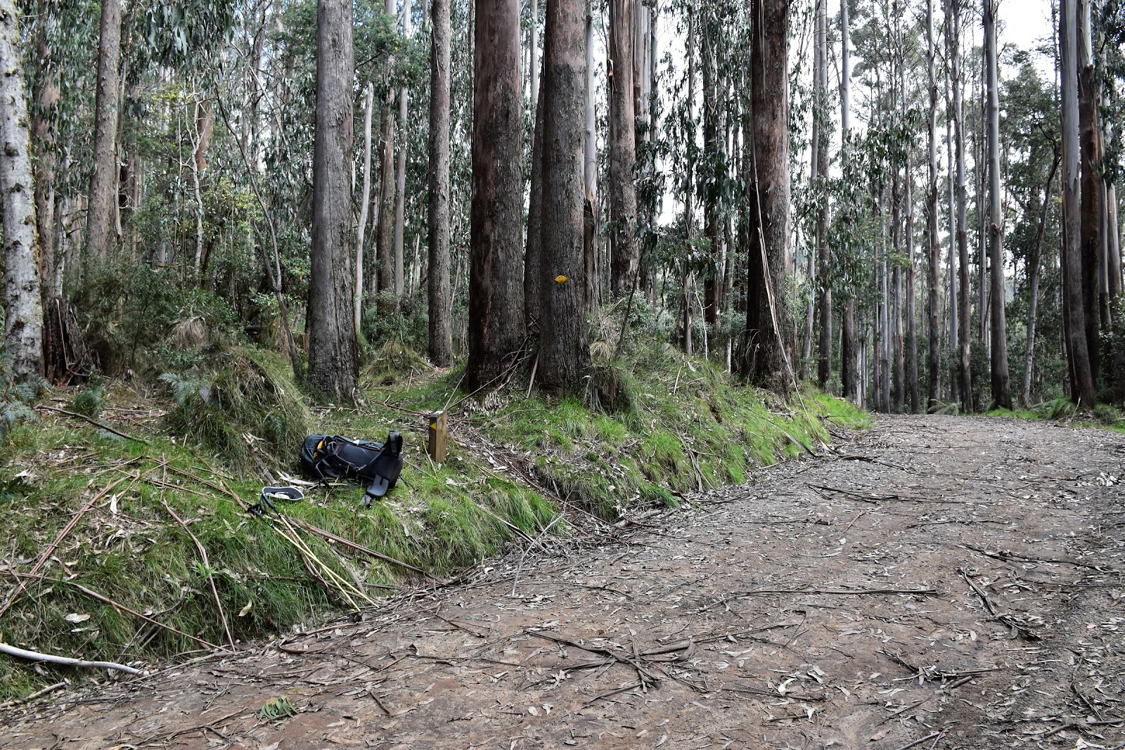
I was pleasantly surprised with the AAWT along here, I’d thought that as it was pretty lightly utilised it might be a bit overgrown and indistinct but actually it was a very good track. As I slowly lost height on my way down to Stronachs Camp the forest once again changed, this time from Snow Gums to the drier Alpine Ash, the one constant though were the big granite rocks littering the forest floor, they are a constant over the whole Baw Baw National Park really. The AAWT was now following a long closed fire track as it descended, the grassy path making walking very easy. Eventually the AAWT arrived at a small grassy opening, this was the small walkers camp site just before the track reached Thomson Valley Road. Reading other walker’s reports it seems that a lot of people spend a night at Stronachs Camp, which is just down the Thomson Valley Road a few hundred metres from here. Here’s a Feral tip, if you are planning on stopping here for the night then use this quiet grassy spot, not the official Stronachs Camp.
 |
The grassy track made for nice walking and once again my spirits lifted with the cloud.
 |
The big rocks continued to be a feature.
 |
I was back in Mountain Ash forests now.
 |
 |
| The walkers camp just before reaching Thomson Valley Road, this is the place to camp if you want to stay here I think. |
|
|
|
|
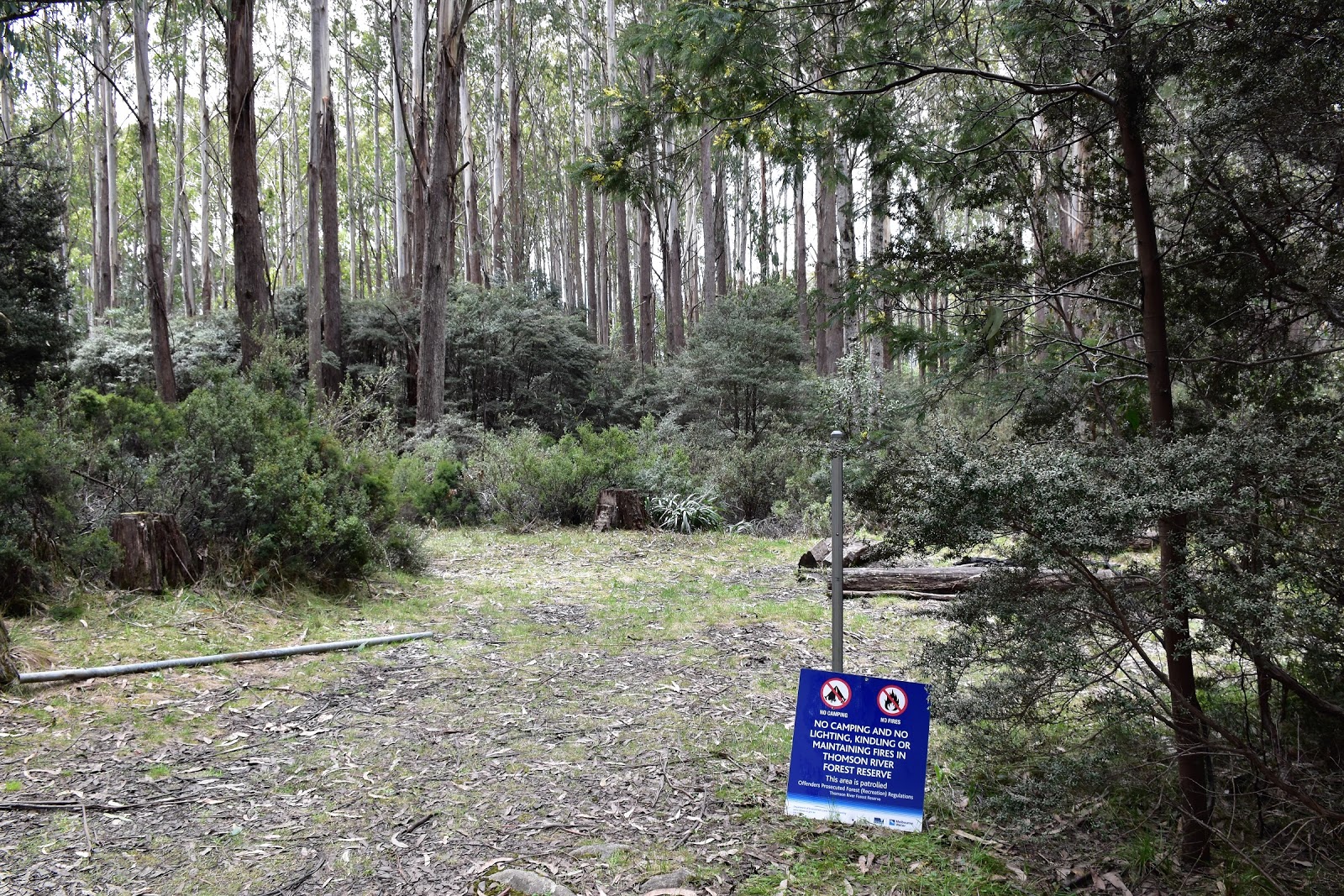
After a bit of a break I pushed on once again, arriving at the Thomson Valley Road about a minute later. Thomson Valley Road signalled another milestone for me, once again I was in a place that I’d been before and it also marked the spot that I met my first humans since saying good bye to Sam back in Walhalla. After having a bit of a chat to the two deer hunters who were out looking for their dogs I wandered east along the dirt Thomson Valley Road for a few minutes to the official Stronachs Camp. I was now in the Thomson River catchment and camping is limited to just three sites over the next 30 or so kilometres while the AAWT crosses over the Thomson and then Jordan Rivers. I wasn’t staying though, it was still early afternoon so after filling up my water at the small creek less than 100 metres east of Stronachs Camp along the road, I set off towards my nights camp on the Thomson River.
 |
The AAWT gets a little bit cryptic now for awhile.
 |
This small creek just to the east of Stronachs Camp along the Thomson Valley Road is pretty reliable.
 |
| The official Stronachs Camp is right beside Thomson Valley Road. |
|
|
Now the Thomson Valley Road not only meant a few camping restrictions but it also marked the spot that I left the embrace of a national park and started to traverse state forest and I immediately noticed the difference. The AAWT suddenly got a lot more cryptic, it only took me a few metres to realise that there would be no more ambling along half asleep, glancing at the map or GPS every hour or so to check out my forward progress, nope now I’d have to concentrate, keeping an eye out for clues that I was actually on the AAWT. Leaving Thomson Valley Road I headed along a reasonably new section of track as I made my way over to Upper Thomson Road, within 20 metres of leaving the road I was already scouting around for clues as to where the track goes, the occasional track marker, a bit of tape, a cut log, a broken branch or an old foot print in the mud all offered re assurance. The AAWT descended a bit to cross a damp gully on a board walk (a bit unusual seeing that the rest of the track was almost indistinguishable from the bush) before climbing up a then disappearing beside an old logging coupe. Well when I say disappearing I mean every thirty or forty metres I’d notice some kind of clue that I was still heading in the right direction but for all intents and purposes there was nothing that resembled the usual definition of a track. The other issue heading down this section was the amount of fallen trees, over what was around one kilometre I must of climbed over, under or along at least 50 fallen trees - hmmm fallen trees are the sworn enemy of the fat Feral Walker, pushing my pack along in front of me as I inched my way under another fallen forest giant I couldn’t help but think ‘what are all the sensible old blokes doing’. Not being quite ready to buy myself a Harley covered in chrome along with the leather jacket covered in tassels or a red sports car and toupée I shuffled on.
 |
Remember...I said 'cryptic'.
 |
How easy is this hey, meandering my way along Thomson Valley Road...well for 100 metres anyway.
 |
Ok...here we go, notice that there is no arrow pointing my way.
 |
The AAWT is a little indistinct, there was the occasional tape though.
 |
All of a sudden I came upon this boardwalk, well at least I knew that I was still on the right route.
 |
This creek looked more reliable than the one back up on the Thomson Valley Road.
 |
This is tough walking for an unfit old bloke like me....
 |
Cut logs were another clue that I was still heading the right way.
 |
The toughest section was heading down parallel to his old logging coupe.
 |
| No Shit!...what they don't tell you is that they've clear felled the adjacent forests and the wind shear now coming across the now bare open slopes hasn't helped. You'd reckon that loggers would have a chain saw handy to clear the fallen trees though, wouldn't you. |
|
|
|
|
|
|
|
|
|
Finally breaking free of the giant game of ‘pick up sticks’ things were looking good again, yep for about 10 metres until I almost stood on a Tiger Snake, for f*#k sake I’d been walking through ice half the morning and now I’m bumping into Tiger Snakes, at least I didn’t come face to face with him as I was crawling under trees I suppose! When I emerged from the scrub into Upper Thomson Road I’ve never been so happy to be starting a road bash. The dirt Upper Thomson Road descends, skirting around a few logging coupes, as it makes it’s way down to Trig Track which is another dirt road. Trig Track then gets serious about descending as it drops down to meet Park Road near the Thomson River, while there was no danger from fallen trees or snakes along here (well not more than usual anyway). The main issue was just the steepness of the track, the loose forest litter on the ground combined with the gradient meant that caution was required as I shuffled down, with my (dead) cat like reflexes I safely arrived at Park Road though.
 |
I'd just broken out of the green hell and I bumped into this bloke.
 |
Coming out onto Upper Thomson Road, I'd never looked forward to a road bash so much;)
 |
Upper Thomson Road.
 |
Circumnavigating some more clear felled logging coupes, our taxes at work.....
 |
The trig on, you guessed it, Trig Track.
 |
| Trig Track is a little on the steep side. |
|
|
|
|
|
Park Road marked another spot that I’d visited before, I’d come in here a few times back when I was a kid with my dad in his truck. When the Thomson River Dam was being built dad would sometimes cart cement up here from Melbourne, a wild old ride in a semi trailer. With all the tracks and most of the dirt roads still closed for winter there was no one around today though. I was now more or less walking beside the Thomson River again as I made my way east, first along Park Road and then along the Thomson Jordan Divide Road, another dirt road. The very gently descending dirt roads made for a nice easy finish to the day, a complete lack of any traffic adding to my now relaxed mood. After passing the smallish Easton Dam I arrived at the spot that I had to drop down and wade the Thomson River.
 |
I've more or less bottomed out on Park Road.
 |
The drier forest down here had a few wild flowers blooming.
 |
Easton Dam.
 |
| The AAWT leaves Thompson Jordan Divide Road behind that pile of dirt. |
|
|
|
I’d had this wade in the back of my mind since leaving Walhalla, the Thomson River in the spring thaw is a river that requires a bit of respect. There is actually an alternative to the wade though and that is back up the road a kilometre or two at Easton Dam, you can cross here with dry feet but then you’ve got a scrub bash down stream beside the river to pick up the AAWT again. With the banks of the Thomson River having their share of blackberries I figured that the wade would be the lesser of the two evils. So arriving on the south bank of the river I surveyed the scene before me, noting the old bridge half submerged and broken that now looked like log jam that could drown unsuspecting bushwalkers. Slightly up stream of the old bridge was a shallower crossing, but the exit was through a thicket of blackberries…bugger! Stripping off, slipping on my sandals I decided on a middle option, far enough away from the half submerged old bridge that I should be safe if I happen to go in, a clear exit, but what looked like a fairly deep wade. Well your reading this so you know I made it through, the water actually reached mid thigh depth so I wouldn’t of wanted it much deeper. After the excitement of the Thomson River crossing I wandered 50 metres or so downstream to the official walkers camp in my sandals, satisfied with my days adventures. It was around 6pm when I rocked up to camp tonight and once again there would be no lingering around staring at the stars. It wasn’t rain that forced me into the sleeping bag early tonight though, it was the mozzies they were ferocious down here. Still crawling into the sleeping bag before it got totally dark wasn’t really much of a hardship as it had been another hard day on the AAWT.
 |
 |
| The crux of today's stroll. The old bridge is more or less submerged on the right of the photo. The shallowest spot was on the left but the exit was through blackberries. I went in to the right of the log that is sticking out from the other bank, it was mid thigh deep. |
|
The Dirt.
I walked 21 kilometres today and climbed 240 metres, that doesn’t look to hard does it? Well it is, today definitely falls into the hard category for me. The stats for the AAWT so far are 63 kilometres and 2165 metres climbing. Water is available from the creek east of Stronachs Camp, the creek 150 metres after leaving Thomson Valley Road and the Thomson River. If you are thinking of camping at Stronachs then the site just before you leave the Baw Baw National Park and meet Thomson Valley Road is better than the official Stronachs Camp on Thomson Valley Road, imho. The Thomson River Camp is on the north side of the river and there is plenty of room for tents. Navigation wise there are a few issues today, the main one being the section of track between Thomson Valley Road and Upper Thomson Road, it’s probably less than two kilometres but it’s tough and very indistinct, keep a close eye on the map. The other spot to watch is where the AAWT leaves Thomson Jordan Divide Road to drop down and cross the Thomson River, it’s marked but it’s behind a bull dozed mound of dirt. If the wade looks to daunting then cross the Thomson at Easton Dam and scrub bash down stream until you meet the AAWT. I used John Chapman’s notes and maps as well as Rooftops
Walhalla-Woods Point Adventure Map for an overview. I didn’t get a Telstra mobile signal today.
Relevant Posts.
AAWT, first day, October 2017.
AAWT, previous day, October 2017.
 |
| Dusk at my Thomson River camp. |