Sunday, April 30, 2023

Blinman Pools Walk - December 2022


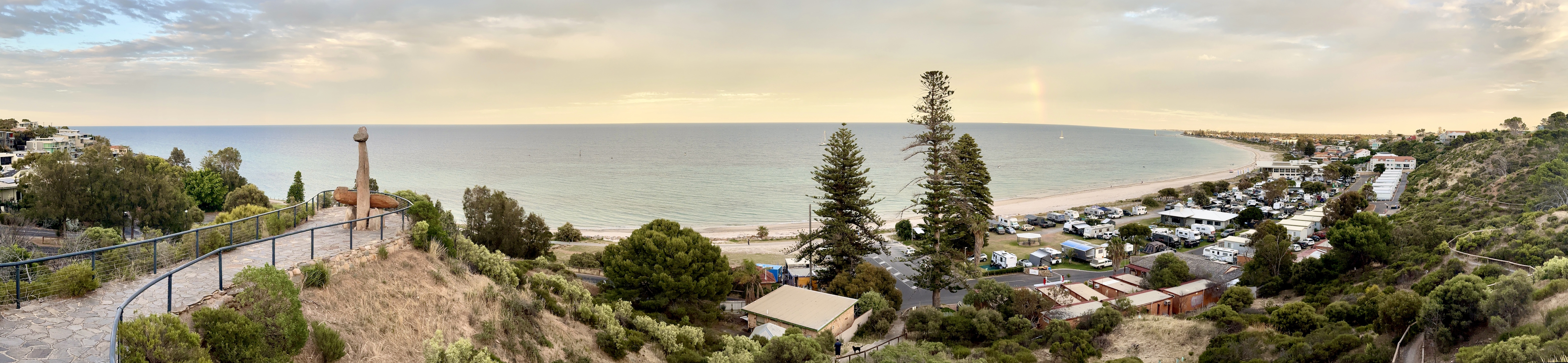
Angorichina Tourist Village was pretty quiet this morning.

After dropping down to the creek we started the long walk upstream - passing by these old stone huts early on.


There was a intermittent pad that we picked up sometimes.

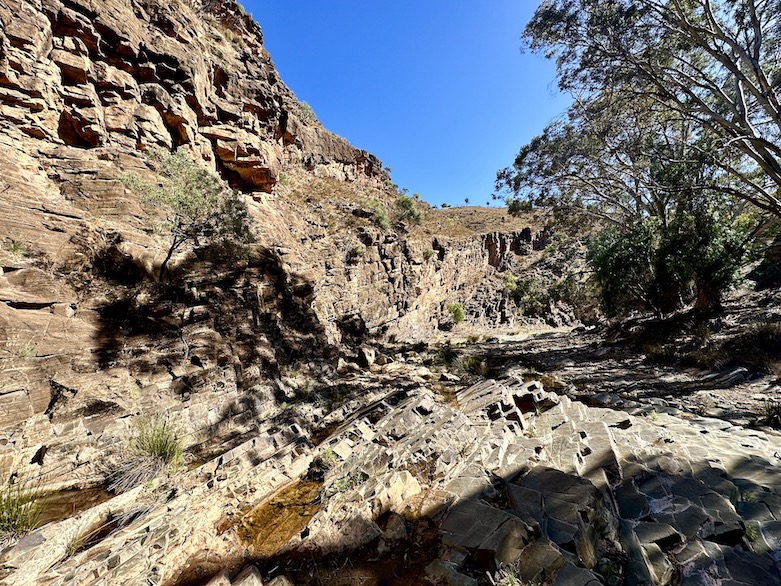
Walking these tilted rocks was fairly slow going.

Approaching the top pool I passed by this un-named waterhole.

Blinman Pools upper waterhole.

Upper Pool.

Upper Pool.

Upper Pool.

The swimming in the Upper Pool was first class.

Away from the waterholes things heated up and dried out very quickly.


I felt like I was being watched...

There's a feral Goat halfway up the rock face.

Blinman Pools Lower Pool.

Lower Pool.


Heading back down the gorge in the middle of the day was super hot.


Sam had waited for me in the shade here.

We were now heading back towards the ute - looking for a final spot to have a dip along the way.


The closer to Angorichina we got the more sections of track we found.


Blinman Pools Walk.

We probably noticed half a dozen track markers along the length of the walk.

We found one last pool to soak in.

This pool even had a small spa pool.

I didn't take long to dry off on our short walk from the last pool back to the ute.

Perfect swimming weather - a little warm for hiking though!

The Dirt. 
According to AllTrails we walked around 12.3 kilometres and climbed about 212 metres on what I'd call a medium grade walk. This walk is a great one for swimming as the two main pools normally have enough water in for a dip. It's not all sweetness and light though, the pools are ice cold in winter and in summer the pools are a nice temperature however the walk in and out can be tough in the heat. At best I'd call this an intermittent pad, the majority of the stroll is a make your own adventure along the creek bed. I used my AllTrails map today..

Relevant Posts.

YouTube Video.


Thursday, April 27, 2023

Mt Lofty to Kingston Park, Summit to Sea Track - December 2022.


I was very lucky that my good friend Petra was able to drive me up to Mt Lofty this morning.... while I waited for her I enjoyed the serene view over St Vincent Gulf at Kingston Park.

After getting dropped off up at Mt Lofty I just had to walk back to the ocean... sounds easy enough!

Unfortunatelly I was too early for a coffee up at Mt Lofty this morning.

Leaving Mt Lofty I dropped down the Waterfall Gully Track for a few minutes.

Cleland National Park.

Upper Falls in Belair National Park.

Sharing the trail with Emus in Belair National Park.

The view from the Lower Falls Lookout at Belair National Park.

A lot of the tracks and trails today were very flowy - great for walking and mountain biking.

Sturt Gorge.

Magpie Track in Sturt Gorge was easily the roughest walking of the day.

Contouring high above Sturt Gorge.

I was approaching civilisation again now - it was stinking hot so I was really looking forward to buying a cold drink. 

That bloody ocean was still a long way away.

Trail Magic Oz style - cold drinks purchased at a servo and enjoyed in the outdoor dining area at Maccas!

Climbing up into Glenthorne National Park.

Glenthorne National Park - there was bugger all shade here and I was starting to suffer a bit in the now late afternoon heat.

Laeving Glenthorne National Park my route crossed two of these garssy gullies.

Around 100 metres from the beach I saw my first sign for the trail.

It reached around 36C today - I was totally cooked by the time I got to the water.

The Dirt.
According to my AllTrails App I walked around 34.4 kilometres and climbed about 585 metres on what was a hard days walking for me. As I've mentioned today was fairly warm which wasn't an issue on the first third of the walk, the last third was fairly tough through Glenthorne National Park in the late afternoon heat. There doesn't appear to be any trail markers or signposting on this walk so a map of some sort is a necessity, I used my AllTrails Map which I downloaded before setting off. There are few options to buy a cold drink on the second half of the walk and drinking bottles can be re-filled in Belair National Park if needed.

Relevant Posts.

YouTube Video.


Pelion Hut to Mt Ossa return, Overland Track - April 2010

Mt Oakleigh from the Pelion Hut heli pad. I think the mountain just visible in the mist in the distance is Cradle Mountain... ... the flat t...