Showing posts with label Lake. Show all posts

Saturday, June 17, 2023

Daylesford to Suckling Track Camp, Lerderderg Track, Wombat State Forest - January 2023


The trail head for this one is pretty low key... it's in the bushes near the lake lookout on Bridport Street.

Leaving Daylesford was probably the trickiest navigation for the day.
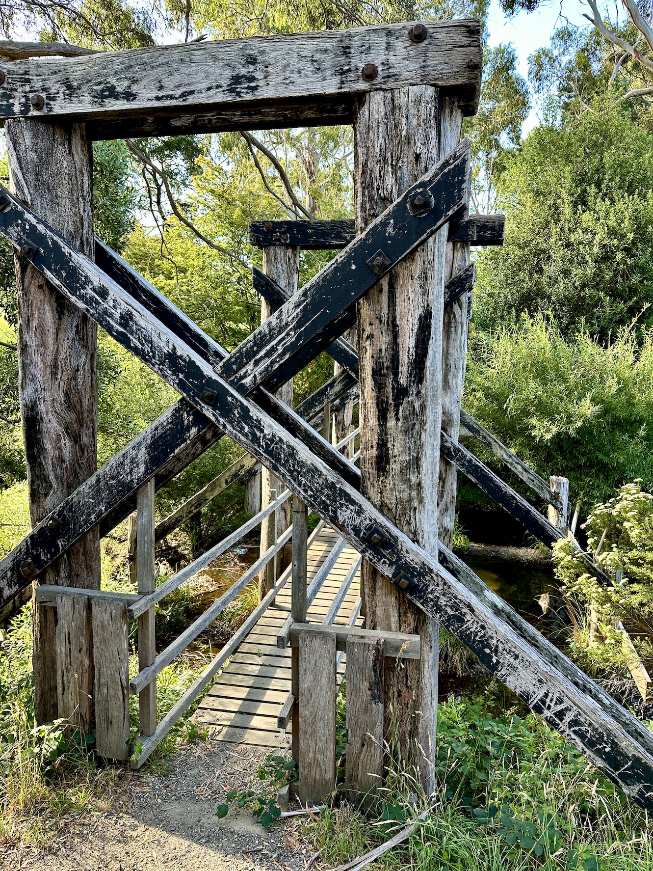
The Lerderderg Track crosses this old railway bridge at Jubilee Lake on the way to Wombat State Forest.

Wombat Creek.

Walking the old railway formation in the early evening.


Once off the old railway formation I followed a series of these quiet 4wd tracks.

My bush camp off Suckling Track was a rough one however I still slept well after a pretty big day of work and travel.

The Dirt.
According to my AllTrails app I walked around 12.6 kilometres and climbed about 414 metres on what I'd call an easy days walking. The route out of Daylesford requires a bit of navigation as it isn't always way marked, once out of town things get easier. The camping off Suckling Track is just a flattish bit of ground on the bush - there are no facilities. I used my AllTrails app along with the Lerderderg Track topo map today - the map is fairly important as the AllTrails route wasn't always 100% accurate.

Relevant Posts.

YouTube Video.


Wednesday, May 10, 2023

Moora Moora Reservoir Walk & Swim, Grampians National Park - January 2023

The hardest bit of this adventure was actually finding the start of the track.

I was struggling to get a photo of this bloke...

... he kept circling the tree to stay away from the camera.

I've been walking for around 3 minutes and the reservoir wall is already in view.


That's the Serra Range on the far side of Moora Moora Reservoir.

The entry point was easier than it looked.

The water was almost the perfect temperature this morning.


I'd been able to squeeze in a lot on this 20 hour visit to the Grampians - it was time to dry off now and head off home though.


The Dirt. 
According to my AllTrails app I walked a grand total of 440 metres and climbed about 6 metres on this very easy adventure. By far the hardest bit about this walk/swim is finding it - keep a close eye on your map and look for a WP sign pointing north east along a 4wd track that is just after an old irrigation channel, when heading south along the Glenelg River Road. The swimming here is sensational once off the rocks, the reservoir is pretty shallow so it's was easy enough to stand up once I cleared the rocks. I used my AllTrails app today.

Relevant Posts.

YouTube Video.


Friday, April 21, 2023

Little Lake Boort Walk - December 2022

We'd left Melbourne in the rain, however by the time we arrived in Boort a few hours later most of the storms has blown through.

Little Lake Boort is mostly used for boating by the look of it, there was a bit of wildlife in some of the quieter spots.

There is some nice public art at the start of the stroll.

Little Lake Boort.

All the storms went around us this afternoon.


The southern shoreline was quieter and a little more natural.

Little Lake Boort.

There are some nice wetlands along the southern shoreline.

Little Lake Boort Walk.

Little Lake Boort.

I managed to sneak in a quick swim after the walk.

The Dirt.
According to AllTrails Sam and I walked around 4.1 kilometres and climbed about 73 metres (which seems highly optimistic) on this easy walk. This walk could easily be completed on a bike and should also be suitable for prams and wheelchairs I'm thinking. There is a small swimming beach near the start of the walk as well as a good playground and picnic facilities. I used my AllTrails map for this stroll.

Relevant Posts.

YouTube Video.


Monday, April 17, 2023

Cape Schanck to Dromana, Two Bays Trail, Mornington Peninsula National Park - November 2022

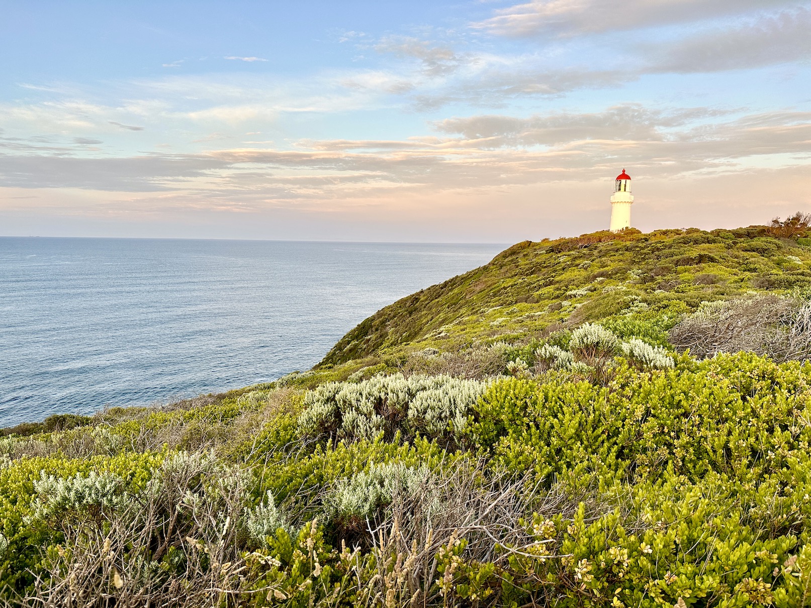
Cape Schanck - I was on my way fairly early this morning.

The Two Bays Track follows the cliff tops across to Bushrangers Bay.

Cape Schanck.


Pulpit Rock, Cape Schanck.

I took in the views from the tourist lookouts before I set off on the Two Bays Track this morning.

My heart starter.

Cape Schanck.

Approaching Bushrangers Bay on Two Bays Track.

Bushrangers Bay.

Looking back along the coast towards Cape Schanck.

Main Creek.

Looking back down towards Bushrangers Bay from the Two Bays Track.

You are pretty well guaranteed to see roos on this walk.

Banksia's.

Two Bays Track.

Two Bays Track, Greens Bush.

Grass Trees are also a feature of this walk.


Two Bays Track.


Two Bays Track.

This walk doesn't just traverse national and state parks - I was also walking easements and quiet roads in spots.

McClaren Dam, Arthurs Seat State Park.

Two Bays Track contouring along the slopes of Arthurs Seat - with views across Port Phillip Bay.

Looking south from Seawinds Gardens.

The Northern Lookout at Seawinds Gardens.

Seawinds Gardens.

I've made it to Port Phillip Bay and I'm feeling pretty happy with life.

Dromana Beach.

Back at the ute - time to head home.

The Dirt.
According to my app I walked around 30.5 kilometres and climbed about 802 metres on what I'd call a hard day out. The tracks today are all pretty well signposted and marked (although the short suburban link through Rosebud needs concentration). There was a bit of flooding in one spot today and sections of the track were getting fairly overgrown around Main Creek. There is a new tank at the Lightwood Creek Camp if a water top up is needed, apart from that Seawinds is the only other spot for water - the creeks all run off farm land so I'd give drinking out of them a miss. I used my AllTrails App for navigation today.

Relevant Posts.


YouTube Video.


Pelion Hut to Mt Ossa return, Overland Track - April 2010

Mt Oakleigh from the Pelion Hut heli pad. I think the mountain just visible in the mist in the distance is Cradle Mountain... ... the flat t...