|
There are worse places to kick back and take in the view.....
 |
| Someone with more talent behind the shutter button could probably do something with this. |
|
With the school holidays rolling around again Sam and I were looking for somewhere to get away for a day or two. With me not having any time off work and not wanting to spend the weekend driving we decided to head into the city for the night. After checking out all the usual booking sites we eventually decided to spend the night at the Pan Pacific Hotel at South Wharf, formally the Hilton Hotel, this place has one of the best views in Melbourne from it’s rooms I think. The city view rooms look straight up the Yarra River to the CBD which makes the place a very pleasant place to kick back and take it all in.
 |
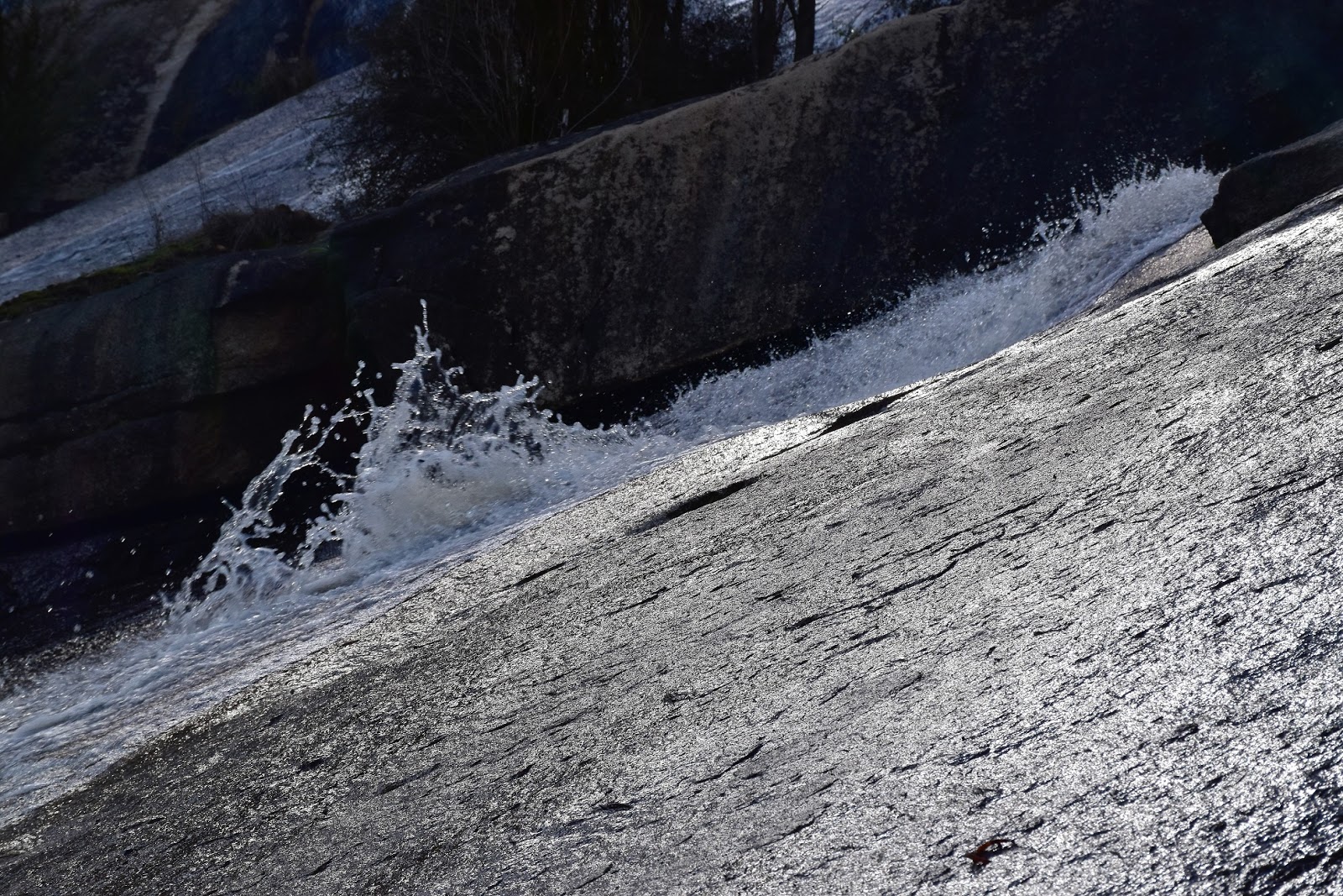
| The view out the back of the Pan Pacific Hotel isn't quite as sweet. |
After dropping the bag off in the room, Sam and I decided to head out and roughly walk the route of the Docklands Walk as featured in Melbourne’s Best Bush, Bay & City Walks. Now when I say that we roughly walked the route, what I really mean is that we added on a few bits at the start and end. First up though it was well and truly time for lunch by now so we headed down to South Wharf for a feed. Along with Docklands, this place always feels a bit dead and half empty to me, needless to say you never normally have any trouble finding a seat in a café although you do sometimes struggle to find some of the cafés open.
 |
There is a fairly wide choice of eating establishments at South Wharf, that's our hotel in the background.
 |
After lunch we headed off up towards Docklands to pick up the described walk.
 |
| There is a hell of a lot of construction going on in Victoria at the moment. |
|
|
After refuelling we headed off on our stroll around Docklands, picking up the described route near the red brick Queens Warehouse. Like a lot of these city walks this one meanders it’s way along on a bit of a convoluted journey, this afternoon we first headed towards the Yarra before crossing Harbour Esplanade, walking through a playground and arriving at ‘Blowhole’ an installation by Duncan Stemler. I love checking out the public displays of art that feature on a lot of the city and town walks now days.
 |
 |
Queens Warehouse
 |
| Blowhole |
|
|
After checking out ‘Blowhole’ we meandered our way north along the narrow park beside Harbour Esplanade in the general direction of Victoria Harbour. Our route definitely did meander too, first we headed over to check out a small plantation of Casuarina Trees, the trees actually fitting in quite well in this urbanised environment (but then again I’m biased as I’ve got half a dozen of these trees in my front garden at home). Passing through the Casuarina grove we checked out some more public art, this time the ‘Reed Boat’ by Virginia King before zigging and zagging across Burke Street to check out ‘Aqualung’ by John Mead.
 |
I love camping under these trees out in the bush.
 |
 |
The Reed Boat
 |
| The Aqualung |
|
|
|
A few metres further on we arrived onto the promenade on the southern side of the wide open expanse of Victoria Harbour. Wandering along beside the water in my shorts and thongs (err, that’s flip flops for any OS readers) on this beautiful sunny afternoon I felt more like a tourist than a local really, a feeling only enhanced by the fact that I’d never visited this part of town before. Walking out along the length of North Wharf we virtually ended up at the Bolte Bridge, the huge concrete and steel structure towering over us at the very end of the wharf, I had no idea you could get this close to the base of the bridge.
 |
The view across Victoria Harbour from North Wharf towards the Melbourne Wheel.
 |
North Wharf
 |
I had my hardcore walking footwear on this afternoon.
 |
You can get a lot closer to the base of Bolte Bridge than I'd imagined.
 |
| I don't mind the square edged industrial look...I'm still learning how to do justice to these scenes with my camera, but I'm thinking that I'm slowly getting better. |
|
|
|
|
Retracing our route back down the length of North Wharf we checked out Melbourne Wooden Boat Centre, with the historic Alma Doepel up on blocks in the middle of being restored. The old boats tied up here being quite a contrast to the modern buildings and flash power boats further along North Wharf. Almost a kilometre after leaving the shadows of the Bolte Bridge we arrived back on Harbour Esplanade and after trying to get the bloggers artistic ‘wanker shot’ of the bollards reflected in the water of Victoria Harbour we checked out our next public art installation, this time the (somewhat) famous ‘Cow Up a Tree’ by John Kelly.
 |
Heading back down the length of Victoria Harbour towards the Docklands Stadium in the distance.
 |
The Melbourne Wooden Boat Centre occupy a warehouse at the end of North Wharf.
 |
The historic Alma Doepel at North Wharf.
 |
 |
The new and the very old at Victoria Harbour.
 |
 |
 |
| Cow Up a Tree, Docklands. |
|
|
|
|
|
|
|
With the huge Docklands Stadium on the city side of Harbour Esplanade we stayed close to the water as we made our way up to New Quay, checking out the old heritage buildings on Central Pier and their information displays about Melbourne's old maritime history. Like North Wharf (and indeed South Wharf), New Quay ‘feels’ a little dead if you ask me, I wonder weather they should of spent some extra money and made this Melbourne’s Cruise Boat Port, it certainly would of livened the place up a bit and it would of provided a much nicer entry to Melbourne for the tourists than the current wharf at Station Pier I think. Anyway, it’s all too late now, I don’t think the ships could get under Bolte Bridge and I’m not sure if Victoria Harbour would be wide enough to turn them. Reaching New Quay we wandered along the promenade, once again heading towards the distant Bolte Bridge. New Quay is not only home to more public art, interesting architecture, flash boats and cafés but also features more great views both of the Bolte Bridge and also back towards the CBD.
 |
There is a bit of information about Melbourne's maritime history around Docklands, these displays are on the old heritage buildings on Central Pier.
 |
 |
New Quay has plenty of public artworks of it's own.
 |
As well as lots of interesting architecture.
 |
 |
The Feral weekend dingy....yeah that may be another alternative fact!
|
|
|
|
|
|
Our ‘official’ walk was now coming to it’s end as we wandered back down to the Docklands Stadium, the late afternoon view down over Victoria Harbour supplying one last nice water view. With me not wanting to miss an opportunity to visit the outdoor shops while in the CBD we headed up Little Burke Street towards the centre of town. Along the way we checked out some new street art that has caused a little controversy in Melbourne, basically these murals look very good but because there is no real political inspiration behind then some of the more hardcore street artists aren’t particularly happy to call them street art. I’ll leave it up to the experts to argue the semantics of this, but for what its worth I like them and maybe it’s just my brain but there is a bit of politics involved in them from what I could see, it’s just a little more subtle than some of the more traditional street art.
 |
With our official walk ending at the far end of New Quay we meandered our way back towards the Melbourne CBD.
 |
Docklands Stadium
 |
The free City Circle trams were doing a roaring trade this afternoon.
 |
The view down to Victoria Harbour from the Docklands Stadium concourse.
|
|
|
|
After lightening the wallet a bit at the outdoor shops and haven a bit of dinner we shuffled our way back down to South Wharf through the Friday night crowds. The twilight views west down the Yarra River tempting me to break out the camera for one last photo. As I mentioned in the first paragraph the views from this hotel are some of the best in Melbourne I think, so we spent a pleasant evening in the room enjoying the light show before us.
 |
Wandering up Little Burke Street we checked out these new murals...apparently they are a little controversial.
 |
 |
This reminds me of some of the artwork popping up on old silo's around country Victoria.
|
|
|
The Dirt.
Although the walk notes as written up are only about 5 kilometres we walked around 8 kilometres today as we meandered around all over the place, although with virtually no altitude gain I’d still rate this as a pretty easy walk (I managed it in thongs!). As I mentioned earlier this is a walk out of Julie Mundy’s book Melbourne’s Best Bush, Bay & City Walks, it’s walk number 4 in the book. We stayed at the Pan Pacific Hotel at South Wharf on this visit, as I’ve waffled on about already the views from their City View rooms are pretty good. I’m not 100% sure but I think that the hotel is a little cheaper than it was when when it was known as the Hilton at South Wharf, it also looks like they’ve fixed up a few of the rough edges that were creeping in - but don’t forget this is a ‘sample size of one’!
Relevant Posts.
Federation Square & Southbank, Melbourne, 2015.
Laneways & Melbourne Heretige, Melbourne, 2014.
Arts Precinct, Melbourne, 2017.
 |
| Heading back across the Yarra River to the hotel after dinner, the twilight scene down towards Port Phillip Bay was sweet. |
 |
| We could watch the Crown Casino pyro display from the comfort of our room. |
 |
| Early morning was a little harder to get a photo. |