Sunday, October 31, 2021

Peninsula Link ~ Baxter Trail Circuit Ride - September 2021

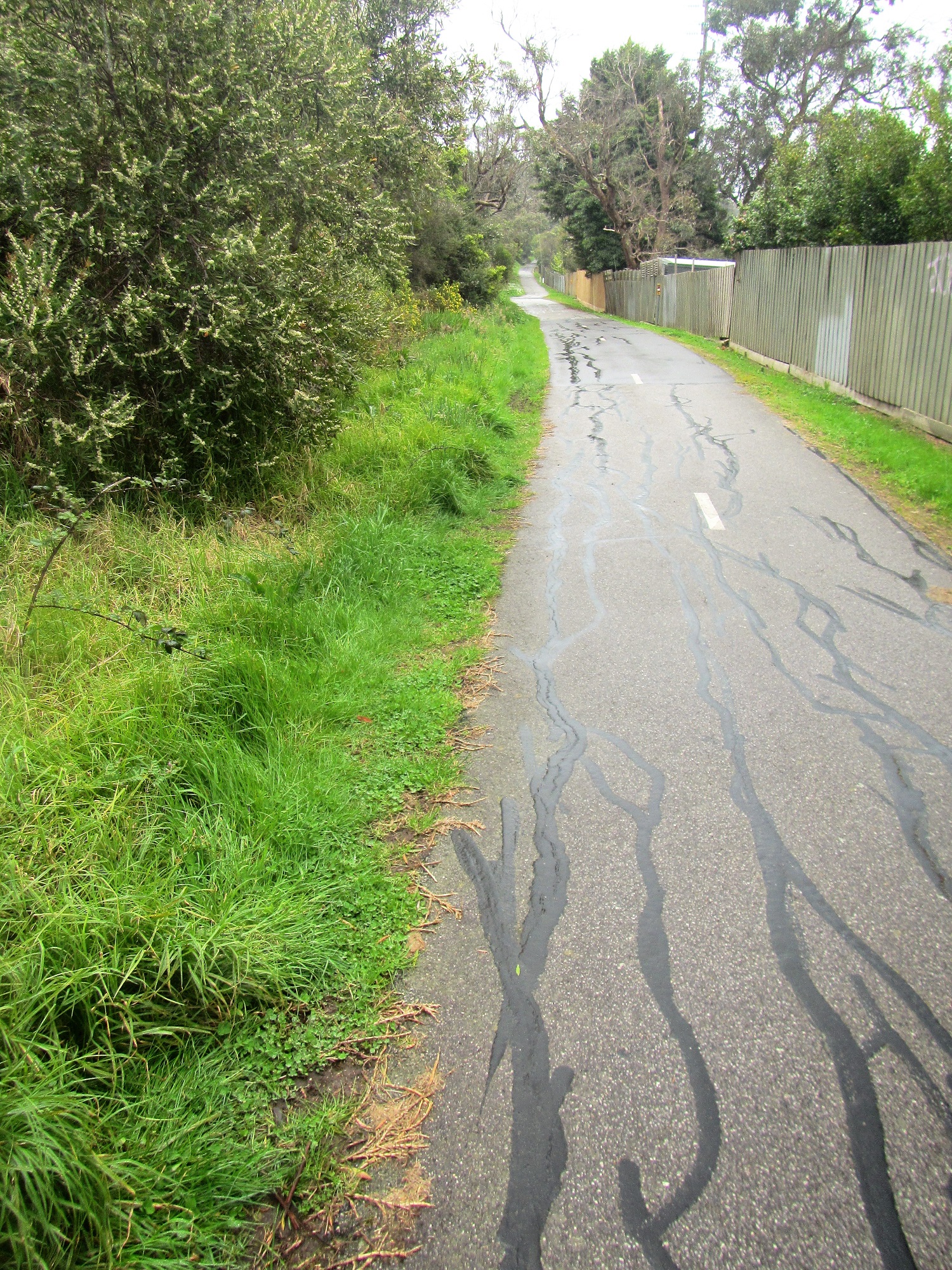
The new shared path heading through Seaford - I'm not sure if this path has been named yet?

With only so many walks accessible in my Covid restricted world I've started to look for some other little adventures to keep me sane. Now I normally use my mountain bike as my daily commuter, so after clocking up 100 kilometres or so on my commute during the week I'm normally pretty keen to get off the saddle and head out some where on foot... however these are strange times indeed! Looking around my immediate area this morning I mapped out a bit of a rough circuit that I figured would keep me busy for a couple of hours, while at the same time let me check out a new section of bike path that hasn't even made it onto most maps as yet. Now this bike ride definitely isn't a MTB Epic, it's actually a ride that could pretty well be completed on any type of bike as it's pretty well all on sealed paths and I was passing through a very urban area, still beggars can't be choosers and this has pretty much been my world now for the best part of the last two years - so I may as well make the most of it!

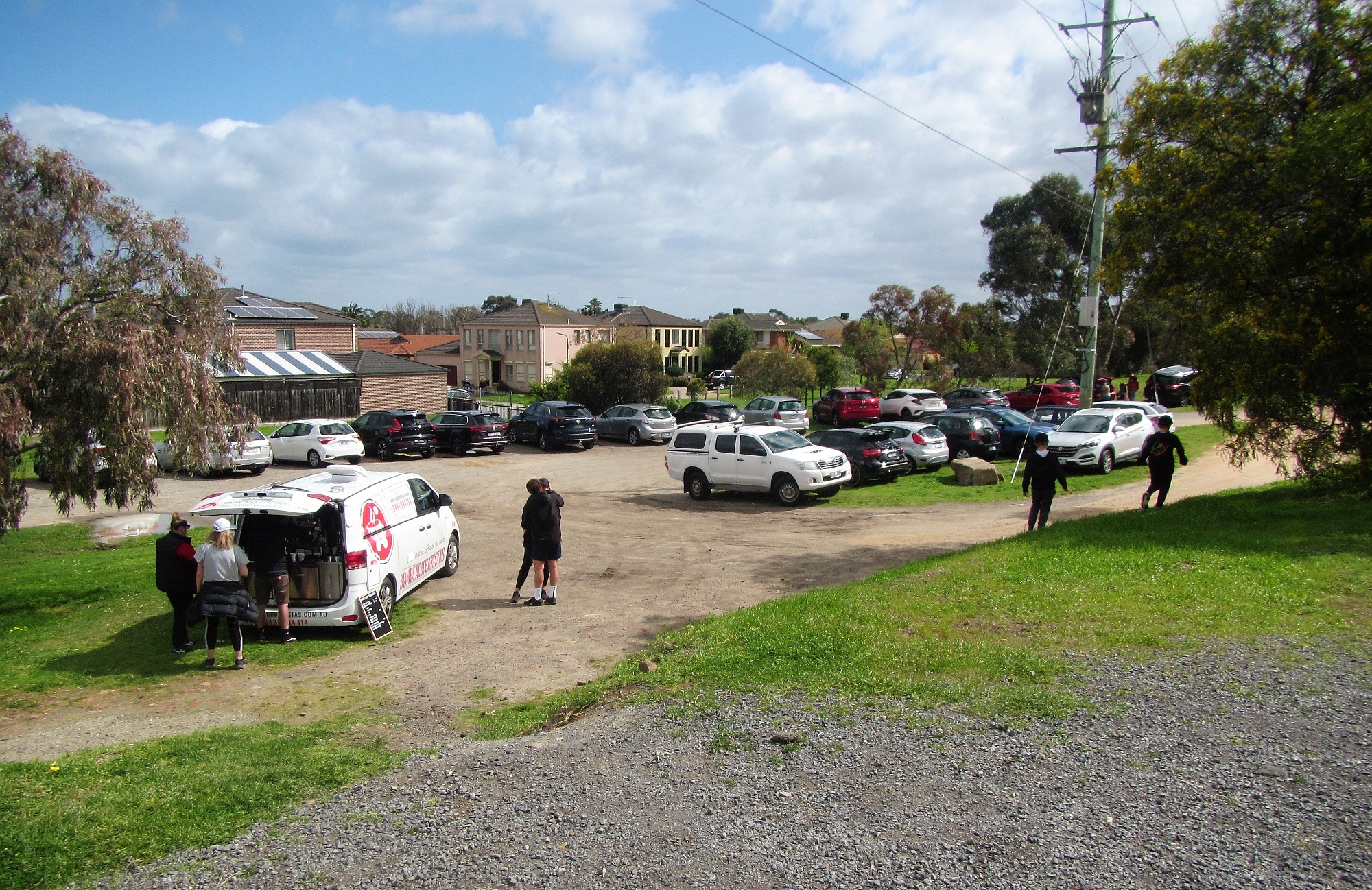
These Coffee Vans have been doing a roaring trade over our lockdowns.

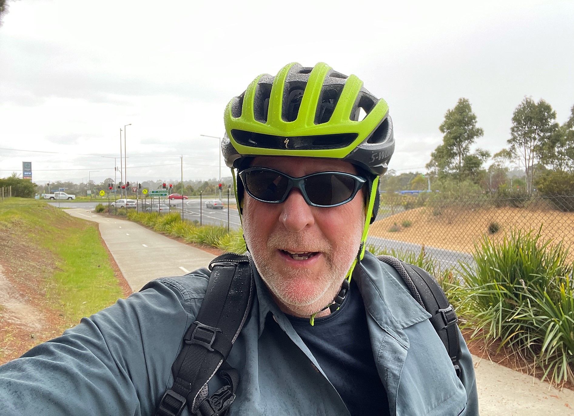
I started my ride on the north side of the Gladesville Boulevard Bridge.


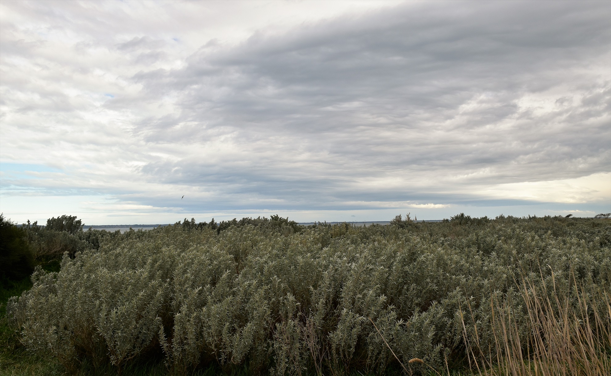
My little excursion started a few minutes from home at the spot where the Peninsula Link Trail branches off from the Dandenong Creek Trail at the Patterson River Bridge on Gladesville Boulevard. After successfully resisting the Covid Coffee Van that now works out of the carpark beside the bridge I crossed the river dropped down to pass under Gladesville Boulevard and immediately headed off south along the concrete Peninsula Link Shared Path. Now this post is going to be as boring as bat shit if I go into every left/right turn so I'll give that a miss, if just for my own sanity. I now followed followed a fairly convoluted (although well signposted) route as I made my way through the wilds of Patterson Lakes and across the savannah like Seaford Wetlands - hey, I've been locked down for a couple of years so allow me some poetic license! Leaving Seaford Wetlands I faithfully followed my concrete path to cross over the Frankston Freeway and soon after Peninsula Link Freeway to enter the Pines Flora & Fauna Reserve - a small parcel of native bush that has really been my go to mental health spot over the last two years of lockdowns.

The Peninsula Link Trail meandering its way through Seaford Wetlands.

Crossing the Frankston Freeway.

Between the freeways the I passed through a light industrial area in Seaford.


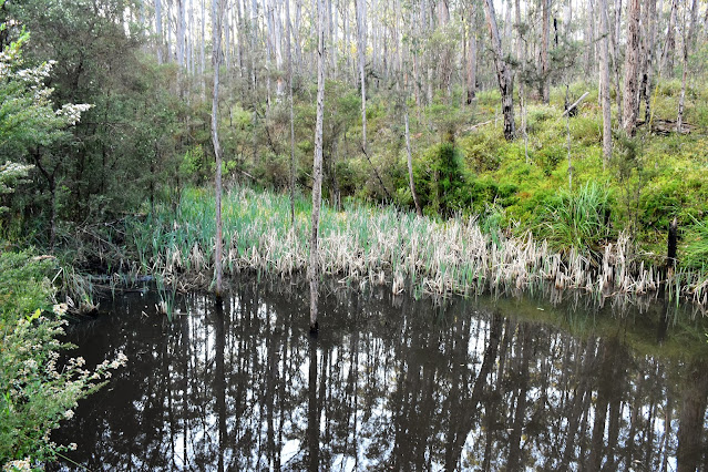
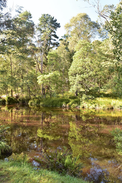
After crossing Peninsula Link the path headed into the Pines Flora & Fauna Reserve.

The Pines Flora & Fauna Reserve.

The Pines Flora & Fauna Reserve.


The Peninsula Link Shared Trail now made it's way back to the freeway and I started a fairly long, but also fairly gentle climb up to Frankston - Cranbourne Road. This section of the ride stays fairly close to the freeway for most of the distance which makes navigation fairly easy, although the occasional road crossings can require a bit of attention as the trail sometimes randomly criss crosses the freeway at these spots. It wasn't navigation that I was thinking about now though, nope the weather was taking a turn for the worse unfortunately with a very cold wind and some fairly persistent showers blowing in off Port Phillip Bay, hmm. Crossing over the Frankston - Cranbourne Road I stopped and pulled on my rain jacket under some pine trees while I consulted my maps. With the cold rain coming down I decided to abandon a plan to head all the way down to Baxter and instead I dropped down the Baxter Trail and followed the railway line all the way down to Frankston - the gentle decent down to Frankston was a highlight of the ride really, although I had to be a little careful barrelling down the wet track.

The rain got a little more insistent after I crossed over the Frankston - Cranbourne Road.

Time to pull on some wet weather gear I think.

I dropped down the Baxter Trail into Frankston.

The decent down Baxter Trail was quick... and a little slippery.

I'm about to emerge on to the streets of Frankston.


My long downhill run came to an end fairly suddenly when the Baxter Trail emerged onto Playne Street in Frankston. The trail finished here and I was now going to be freelancing a little as I made my way up the bay back home. There has been a lot of civil engineering going on along the Frankston railway line that I knew had included some new bike paths, what I didn't know was exactly where the path started, or if the path ran all the way up to Carrum. After consulting Google Earth before leaving home I'd thought that I could pick up a trail starting a couple of kilometres north of Frankston on Dandenong Road East, so that's where I was heading now as I splashed my way through the wet backstreets of Frankston. With the train line to guide me there was no chance of going to far wrong here, and arriving at the spot that I'd noticed on the satellite photos I did indeed find a shiny new concrete path.

The start of the new trail is beside Dandenong Road East and is a fairly low key affair.

Passing by the Kananook Station - it was around now that I started to suspect that this new trail would take me all the way up to the Patterson River.


The next question that I had to resolve was how far did this path go. Leaving aside the fact that the path started in a very nondescript area of Frankston with nothing in the way of signage to signal it's existence (that I noticed anyway), the remainder of this path turned out to be well signposted with a street sign style of signage. Thankfully the rain had pretty well stopped by now so all I was contending with was the biting south westerly wind howling in off Port Phillip Bay as I weaved my way up towards Carrum beside the railway line, well the wind and also the fact that I hadn't done a ride of this length for the last couple of years of our lockdown life here in Melbourne so my bum was starting to feel it a bit! It turned out that the new concrete path (I'm not sure if it has a name) ran all the way up to Carrum (and beyond), the crossings of Kananook Creek and then the Patterson River being the scenic highlights. The Patterson River was my jumping off point though, so after crossing the river I picked up another shared path that headed up river along the north bank and rode the last three kilometres of my mini adventure enjoying not only the river views but also the views of the distant Dandenong Ranges.

There has been some serious money spent on this new path.

The new trail crossing Kananook Creek.

After crossing the Patterson River I left the new path and followed the river side path back to complete the circuit.


The Dirt.
According to my GPS I rode around 31.7 kilometres and climbed about 183 metres on what I'd consider an easy bike ride. The trails that I rode today were all sealed except for the last three kilometres along the Patterson River so the ride is pretty well suitable for any type of bike. The Peninsula Link Trail, Baxter Trail and Patterson River Trail are well mapped and signposted although the new trail alongside the Frankston Railway Line isn't as commonly mapped (yet) - although once I found the start of it in Frankston I found it well signposted. To be honest I didn't really need a map on this ride as I've ridden most of these trails numerous times over the years, although I did have my GPS topos and my phone maps if I needed them - and I did do a little research on the new trail before leaving home.

Relevant Posts.


The Patterson River Path is a nice one - although I am biased as it's also my back yard!

The end is in sight.

Thursday, October 28, 2021

Kirk Point Walk - July 2021

Kirk Point.

Kirk Point... yes, I'd never heard of it either! This small coastal reserve is hidden away on the flat windswept wastelands behind Avalon Airport. Now while flat open country might make for a good spot for an airport, it doesn't always work as a scenic walking destination, and pulling up at the large but virtually empty carpark this afternoon I was already having my doubts. 

Looks like social distancing won't be an issue this afternoon.


Leaving the ute I walked a couple of metres towards the coast before swinging south along a rough 4wd track that parallels the shoreline. This rough and muddy 4wd track follows a drainage channel that was built in the ye olde days when the early settlers drained the coastal salt pans to facilitate farming, basically the country on the inland side of the drain now agricultural land while land on the coastal side being the more natural salt marshes. After judiciously making my way through some substantial bog holes I passed by an old Cypress Tree in a nearby paddock that marked the spot of an early homestead, although even though there was an old bridge leading across the drain to the homestead site it was on the opposite side of a fence, so I decided against heading over to check things out as I wasn't certain on the legalities and I'm a stickler for rules!

I left Beach Road and followed this 4wd track that runs along the coast parallel to the beach.

Kirk Point Salt Marsh.

This wasn't the most scenic walking that I've ever done.

The old trees in the paddock mark the site of an old homestead. 

The 4wd track follows this old drainage channel.  

After missing out on checking out the old homestead site I meandered my way a little further along the 4wd track and checked out the a shipping beacon, yes it was that kind of walk. The slightly drunk looking shipping beacon marks Kirk Point, a more windswept and desolate spot on the shoreline of Port Phillip Bay you would be hard to find I reckon. The salt tolerant scrub around Kirk Point was probably the highlight of this walk I'm thinking, these hardy colourful plants alway come up well in photos, although the looming grey clouds weren't doing me any favours this afternoon.

Kirk Point.

Looking across the windswept plains towards the You Yangs - from Kirk Point.

Kirk Point Salt Marsh.

Kirk Point is home to a shipping beacon. 


After passing behind Kirk Point I continued along the 4wd track for a few more minutes until I arrived at a no entry sign that marked the start of a area that was for the protection of waterbirds. So now I left the rough 4wd track and dropped 15 metres onto the narrow beach and started my return journey to the ute. Before starting my return walk though I took the opportunity to enjoy both the views across the plains towards the You Yangs and also the views along the coast and across the water towards the Bellarine Peninsula - having never set foot on this part of Port Phillip Bay before it provided an interesting perspective. 

Kirk Point.

Kirk Point.

This was as close as I'd get to the You Yangs this afternoon.

My turn around point.

Shuffling my way back along the coast meant that I was crossing lengths of firmish sand, interspersed with soft and smelly sections of sea weed along with the occasional rocky sections, yes it wasn't the best coastal walking that I've ever done however it was interesting in it's diversity alone. After rounding Kirk Point on some rocks I disturbed some fisherman out collecting shellfish, these blokes almost walked on water to get back to their cars as I approached along the beach - maybe that had something to do with the DSLR hanging around my neck along with the numerous signs prohibiting collecting shellfish - or maybe they just didn't want to chat?

The coastline down towards Corio is a no go zone.

I was now heading back along the beach towards Kirk Point. 


Walking through this deep and smelly seaweed wasn't ideal. 

Kirk Point.


After passing by what looked like an old rusting engine block I waded the last few metres along the beach through a particularly deep and smelly section of sea weed and climbed up onto the Kirk Point Boat Ramp. Things are pretty low key over this side of Port Phillip Bay and the Kirk Point Boat Ramp is the classic example of that I think, some old car tyres, a length of rough concrete lined by a few rocks is about the extent of the infrastructure at this boat ramp. The Kirk Point Boat Ramp did allow for probably my best look across the grey water of Port Phillip Bay towards the high rise buildings of Melbourne's CBD though, so that's something. After taking the obligatory photo I shuffled my way back along Beach Road for a few metres to complete my loop before throwing my smelly boots (remember the deep seaweed) in the back of the ute and heading off for home. 

It looks like some of my responsible shooter brothers have been down here with their 12 gauges sorting out those pesky waterbirds. 

There was quite a few of these Protected Shell Fish Habitat signs around...

... which might explain why these blokes bolted for their cars when they spotted me rounding the point?

Kirk Point.


The Dirt.
According to my GPS I walked around 3.7 kilometres and climbed about 29 metres (which seems a little optimistic!) on this easy stroll. This isn't a walk for everyone, the 4wd track is rough and was muddy today, the coastal section is narrow and has some soft sections of deep and smelly seaweed and I'm thinking that if there was no wind then the sand flies would be ferocious - that said, if you are walker based to the west of Melbourne and you are looking for somewhere a bit unusual and away from the normal walking destinations then Kirk Point is worth a look. This is also a renowned bird watching area so if you are a twitcher then it might be worth a visit too. I used the notes and map out of Julie Mundy book Best Walks of Geelong, the Bellarine and the Brisbane Ranges along with my GPS topos.

Relevant Posts.


Mounds of stinking seaweed... yes it was a different kind of walk.

Things are pretty low key at the Kirk Point Boat Ramp.

The Melbourne CBD from the Kirk Point Boat Ramp.

Heading back up Beach Road to the car park - the crowds still hadn't arrived.

Sunday, October 24, 2021

Kurth~Kiln Figure 8 Loop, Kurth~Kiln Regional Park - October 2021

Hey, hey, our 2021 lockdown season is starting to lift!

Well, after 4 months Melbourne's short sharp Lockey D # 6 is slowly starting to loosen up and our Covid leash has been extended to cover all of metropolitan Melbourne. Now metro Melbourne sounds a little average however the metro Melbourne boundary extends a long way into the hills east of town so I'm pretty happy really. Around 5 hours after our lockdown eased I threw my pack into the ute, dusted off the spiders webs and headed off to Kurth-Kiln Regional Park up near Gembrook to go for a stroll, halle-fucken-lujah!!

I dusted the cobwebs off the ute and headed for the hills - and ended up at Kurth-Kiln Regional Park very early this morning.


The sun was still to make its appearance when I set off this morning. Crossing the dewy grass I picked up the start of Thornton Walking Track at the tree line and slipped into the bush, immediately feeling more at ease than I have for months as I followed the soft, leaf littered walking track. The Thornton Walking Track mostly contoured along the sides of the hills above Tomahawk Creek as I made my way east towards the Scout Loop Camping Area. I guess it was might be due to our long lockdowns, whatever the cause was I was really savouring every sight, smell and noise this morning - everything from the first rays of the rising sun kissing the trees to the sounds of the Lyrebirds hidden away in the scrub and even the slightly musty smell of the damp bush, had me stopping to take it in.

I even had a real walking track to follow this morning.

Thornton Walking Track.

Maybe it was just me however the bush was enchanting this morning.

The rising sun was making its presence felt.

Kurth-Kiln Regional Park.

Thornton Track.


Arriving at the bridge over Tomahawk Creek I stopped for a few minutes to enjoy the tannin stained water flowing over the creeks sandy bed, thinking to myself that this would be a nice spot on a hot day. The Thornton Walking Track now climbed away from Tomahawk Creek up to the Scout Loop Track and it's deserted camping area. I'm not sure if camping is allowed under our current restrictions, however whatever the case this camping area was still locked up - except for one ramshackle run down caravan (complete with a running generator) that looked like the owner had moved in, this camp was a little unsettling as it was obvious that someone was living here and had been for a fair while however the camp was inside the locked gate. I can only assume that they have a key to the gate - maybe they are a Parks Vic employee? Whatever the situation was I was pretty happy to pass around the locked gate, cross over Soldiers Road and then drop back into the bush along the closed Cramer Track.

Kurth-Kiln Regional Park.

I look old pretty happy with life.


Mountain Ash, Kurth-Kiln Regional Park.

Tomahawk Creek.

The Scout Loop Camping Area was locked up and deserted...

... except for this strange set up (behind the locked gate?).


I now started walking a series of closed 4wd track as a completed an arc around the park. After following Cramer Track for a few minutes I swung west along Woodduck Track for a few minutes before swinging south along Kurth-Kiln Track for awhile. With the sun now well and truly up it was bathing the open forest in a nice soft light, the scene enhanced by the amount of wild flowers in bloom. With the sound of traffic on the Gembrook-Launching Place Road getting closer I swung away from the road and started to head back towards the ute via yet more closed 4wd tracks before crossing over Beenak Road and walking the more substantial gravel Shepherds Creek Road. Walking along Shepherds Creek Road was actually pretty nice this morning, the road contours along the hills with Shepherds Creek running through the gulley below, the moist gully being home to substantial numbers of towering Mountain Ash trees which were all easily visible from the road.

Soldiers Road.

A Bunyip hole off Cramer Track.

Cramer Track.

Kurth-Kiln Regional Park.

Kurth-Kiln Track.

I'm thinking that this is Coral Fern??

Kurth-Kiln Track.

Gilwell Track.


After following Shepherds Creek Road north for awhile I turned east at the signposted Tomahawk Creek Walking Track. Once again I was now walking a designated walking track as I followed Tomahawk Creek up stream towards the Kurth-Kiln Picnic Area, taking the right hand branch where the track split. With some good spring rains having fallen in Melbourne recently Tomahawk Creek was looking very nice today, with a good flow of water gushing downstream. There are a couple of spots along here where you can access the water, however it would pay to be careful as the rocks and the creek banks are incredibly slippery (or they were this morning). Arriving back at at the picnic area this morning I resisted jumping into the ute and heading home now, instead after checking out a small swimming hole in Tomahawk Creek I set off on another loop into the park.

Mountain Ask along Shepherds Road.

Shepherds Road.
Mountain Ash.

Mountain Ash.

Tomahawk Creek.

Tomahawk Creek Walking Track.

Tomahawk Creek.

There is a nice dam at the picnic area...

... as well as a small swimming hole - below Beenak Road.


On my second loop in Kurth-Kiln Regional Park I climbed Beenak Road away from the picnic area for a few minutes before dropping north down the closed Possum Track. Possum Track is an arrow straight track initially which meant that for the first time this morning I had some decent hills to negotiate as the track headed straight over the higher spots. After twenty minutes or so Possum Track dropped down into a damper gully and swung north-westerly - I now started to encounter quite a few downed trees that were no doubt the result of Melbournes huge June storms. Arriving at Monkhouse Track I made a short detour to check out a pretty dam before starting a long but gentle climb, first up Monkouse before swinging left onto Manna Gum Track.

Possum Track swinging left of Beenak Road.

Possum Track.


I started to encounter some fallen trees on my northern loop.


After meandering along Manna Gum Track for awhile I snapped out of my revelry for a minute to check out my map...and noticed that I'd missed a turn, hmmm. For the length of the walk today I'd been either on dirt roads and tracks or dedicated walking tracks and they had all been pretty clear and obvious so I was a little surprised that I'd missed a turn. Retracing my route I soon realised where I'd gone wrong, the track I was looking for was barely distinguishable from the surrounding bush, yes it was game on now! Glancing down at my bare, soft post lockdown shins I suddenly wished I'd slipped my gaiters on this morning as I waded into the scrub. I was now following what use to be Spotover Track, although it's been awhile since this track had any traffic on it I think. Spotover Track was another of those arrow straight tracks so at least I wasn't navigating a lot of twists and turns as I pushed my way through the bush. The encroaching scrub was a bit annoying although it was the fallen timber that really caused a few issues along here, the giant trees lying across the tracks necessitated quite a few detours through waste high bracken and heath which slowed forward progress down a little.

There was a nice dam down the bottom of Possum Track.

I missed this track initially.

Wading through bracken as I made my way around fallen trees along Spotover Track.

Spotover Track.


After twenty minute slog I eventually emerged, a little bloody and battered, but still pretty happy with life onto Short Cut Track and walking got easier again. Short Cut Track did have one sting in it though, it provided the steepest climb of the walk although thankfully it was a fairly short little grunt. Once I'd topped out on Short Cut Track my mornings walk was as good as over, after an easy downhill ramble I passed the locked gate and once again re-joined Beenak Road, the ute easy visible now a hundred metres down the road at the picnic area.

Short Cut Track featured one decent climb.


The Dirt.
According to my GPS I walked around 13.2 kilometres and climbed about 396 metres on what I'd call a medium grade walk. As I've already waffled on about this walk was mostly all along clear and distinct tracks, with the exception of around 800 metres along Spotover Track which is quickly returning to nature and requires some resilience to walk. One other thing to be aware of here is that it's a state park and these places are magnets for my bogan brothers and sisters, so if you are looking for a bit of peace and quiet then maybe try and head out here on a week day if you can - I didn't see a soul on this walk, however I'm thinking the weekend would be pretty busy (especially as our lockdown restrictions start to ease). I found this walk on Alltrails and used their map along with my GPS topos and Rooftop's Yarra Valley - West Gippsland Adventure Map.

Relevant Posts.

I'm just re-joining Beenak Road, the ute is in site.

Pelion Hut to Mt Ossa return, Overland Track - April 2010

Mt Oakleigh from the Pelion Hut heli pad. I think the mountain just visible in the mist in the distance is Cradle Mountain... ... the flat t...