Showing posts with label Northern Territory. Show all posts

Sunday, September 13, 2020

Walker Creek Camp to Florence Falls, Tabletop Track, Litchfield National Park - September 2010


The Tabletop Track descending through a valley filled with Cycads.

Another fine day greeted us on day four of our Tabletop Track adventure. Being slightly cooler than yesterday it made the climb back up onto the plateau to resume our circuit a little more pleasant. The walking this morning was quite nice with a fair variation in the country, at times we were walking along wide grassy valleys, while at other times we were in the more typical open Savannah woodland. Probably the highlight of the morning for me though was when we entered an area full of Cycads, these pre historic plants are always nice to see in the wild I think.

Litchfield National Park


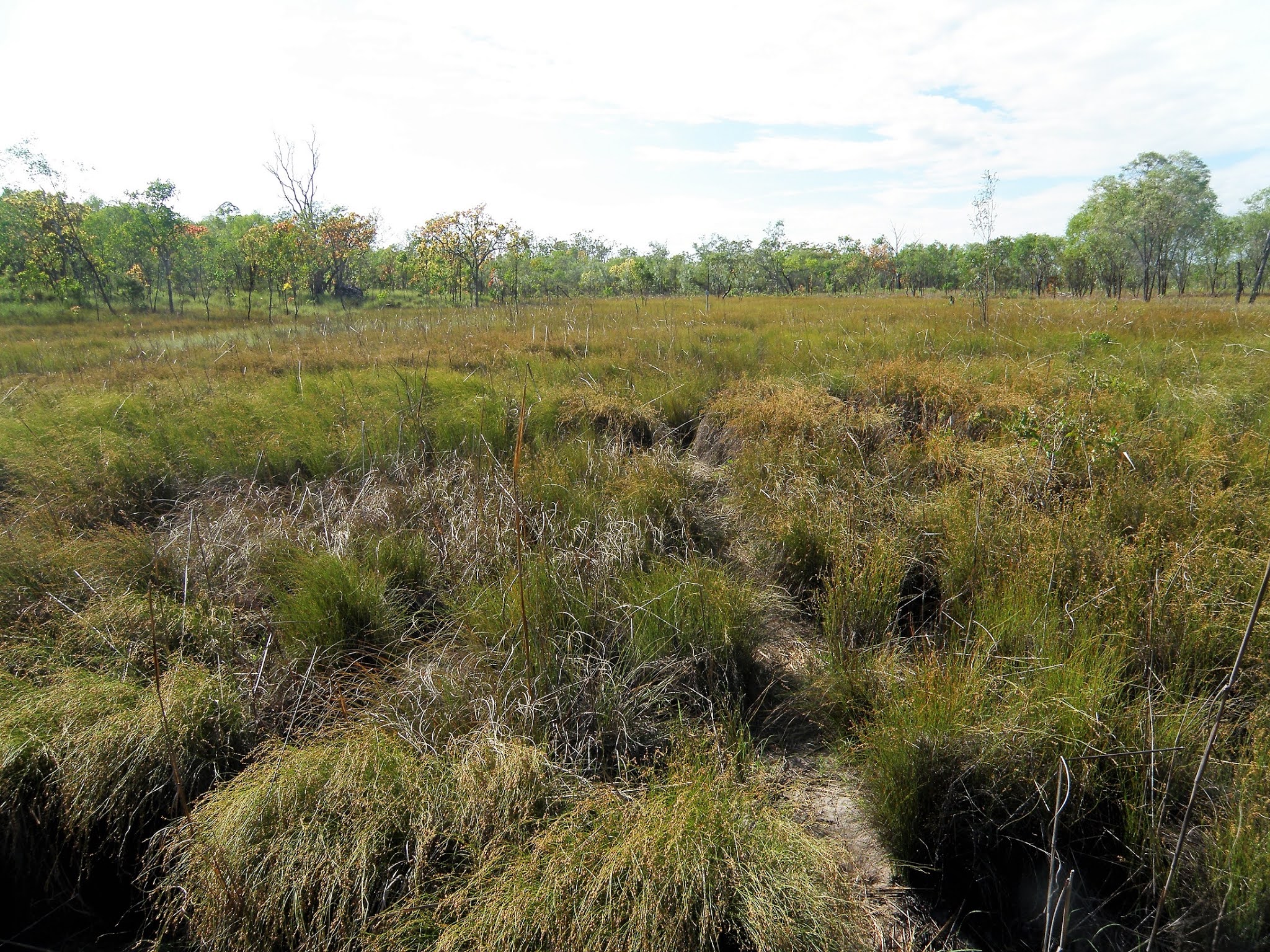
Crossing these grassy plains the track could get a little vague.

It's against the laws of bushwalking physics however Bel's apparent age was coming down in inverse proportion the kilometres she'd walked on this trip!...

... I, on the other hand was looking more weather beaten by the kilometre!

I'm thinking that the scenery today was the most variable of the walk.

Litchfield National Park.


Typical Top End walking.


After a few hours walking we started to descend a relatively steep sided valley and when the track eventually crossed the creek it was time for lunch (and today's first swim). I'm not sure on the name of this creek however it was a fairly substantial watercourse, the flow here being similar to Wangi and Walker Creeks. While we didn't have a super deep pool to cool off in here the water was definitely deep enough to submerge our hot and sweaty bodies in and as always the cool water was just what we needed to revive us from the stifling tropical heat and humidity.

Our un-named lunch creek.


Spots like these are very welcome places in the heat of the day.

I'm looking forward to a lot of this kind of walking when I retire.

Our trip was coming to its end.

Skip is pulling on his boots for the last time.


With lunch finished and our bodies dried by the sun we set off into the afternoon heat. We didn't have far to go now on our walk, however after leaving this little oasis we had what was probably the steepest climb that we'd experienced on the Tabletop Track as we clambered up the side of the valley. Once on the top we were able to look down into another valley and another beautiful un-named waterfall, there are so many spots that I want to explore one day. Within thirty minutes of our climb levelling out we arrived back at the Florence Falls Link Track and the circuit part of our walk was over. After retracing our first days route back to Florence Falls we headed to the huge plunge pool to wash the accumulated dust and grime off again, before joining the throngs of day walkers as we made our way back to the car park... smiling with that euphoric feeling that you get after another great walk.


We've just arrived back at the Florence Falls Link Track.


The Dirt.
We walked 12 kilometres today and climbed around 150 metres on what I'd call a medium grade walk. Once again today the walking was pretty easy, although the climb back up to the Tabletop Track from Walker Creek and the climb away from our lunch spot both had their moments. There was a walkers camp site a couple of kilometres into our walk today however we didn't head in to check things out although from all reports its a little ordinary. There were no facilities at all today once we left Walker Creek until we arrived at the bustling Florence Falls, water was available from our lunch creek. I used the fifth edition of Maps NT Lichfield National Park map along with the Daly's notes out of their Take a Walk in Northern Territory's National Parks book on this walk.


Back down on Florence Creek and heading for the plunge pool.


The Tabletop Track is not a super hard core bushwalking track, even so if anyone is thinking of attempting it then someone in the party should know how to read a map and a compass. The pad is marked with little blue triangles, however sometimes it is necessary to scout around to locate the next marker and when we did the walk the pad itself faded in and out a bit. We walked around 50 kilometres and climbed around 600 metres over the four days we were on this medium grade walk, these figures are rough estimates off my map and notes as I wasn't using a GPS at the time. If walking early in the dry season then water wouldn't be a problem, however at the same time the pad may be harder to follow due to rapid growth after the wet season. The campsites on the walk all had a table and a long drop toilet. You can buy food if you do a side trip into Wangi Falls and I think there is phone there. Overall if you like heat, swimming, and don't mind a few hours of rough walking each day then this maybe a walk to consider, all things being equal I'll certainly be back one day.

Relevant Posts.


Our finish photo after our swim. Florence Falls are just visible through the canopy beside Skip.


Thursday, September 10, 2020

Tjenya Falls Camp to Walker Creek Camp, Tabletop Track, Litchfield National Park - September 2010

Walker Creek, a couple of minutes up stream from tonights camp - I've camped in worse spots!


Once again today we were away early trying to beat the heat of the day a bit as we headed towards Walker Creek. Our track today headed in a generally north easterly direction across some fairly open country.... and it was bloody hot! While Skip was keen to push on with Janty, Bel and I took it a little slower this morning. At times this morning we were only walking twenty minutes before stopping under the any shade we could find to cool down a bit and have drink, thankfully Bel and I had set off from Tjenya Falls with around 3 litres each so water wasn't too much of an issue, well except for the fact that it was luke warm.


Today was super hot.

The Savannah Woodland wasn't supplying a lot of shade either.


We made full use of the shade that we did get though!


After crossing another shallow, baking hot valley we climbed up onto a low rocky ridge and decided that it was once again time for a drink. While enjoying our little break up here in the heat it was with more than a little relief that we spied the turn off for the Walker Creek Link Track just ahead. Shouldering our packs we set off once again, the thought of an afternoon soaking in a cool waterhole motivating us a little more now. The link track across to Walker Creek was a fairly convoluted walk as the pad wound its way up and around numerous rocky outcrops. Around 40 minutes after setting foot on the link track we were happy to see the lush green trees lining Walker Creek in the distance, passing by the long drop dunny a few minutes later we knew our days walking was pretty well over.


We've just climbed onto this low ridge.

Bel's found some more shade.

Gee, this old canvas pack has done some miles... a bit like it's weather beaten owner actually!


It was about now that I spied the Walker Creek Link Track heading off.


Skip had claimed a nice camp spot for us and already had his tent up and was relaxing in one of the many stunning plunge pools on Walker Creek. It didn't take Bel and I very long to get our tents up and we joined Skip and Janty, cooling off in the refreshing water. We'd arrived at Walker Creek well before lunch time and now had the rest of the day to chill out and explore this magic spot.


Bel's dropping her core temperature a bit.


Walker Creek

Our Walker Creek Camp was pretty comfortable.


Walker Creek features numerous walk in campsite that (at the time we did the walk) have to be reserved at the car park around two kilometres down stream, with no one around we decided to roll the dice this afternoon and avoid the walk out to the road to reserve our site. Thankfully our gamble paid off, we didn't see another person all day much less anyone carrying camping equipment out here... I suppose that might have been the side benefit of walking up here in late September. After our first cooling swim and then lunch we explored a little around our camp, the numerous cascades and pools up and down Walker Creek all helping keep the afternoon heat and humidity at bay. For the first time on our walk it looked like we were going to cop a storm tonight as black clouds, along with wind and lightening picked up after dinner. However after scrambling around and quickly throwing the fly's on the tents the storm dodged us... a very good outcome as sleeping in a tent with a fly on in the stifling heat and humidity wasn't going to be comfortable.


Bel and I.

Conditions are a lot softer around the creek lines up here.

We did have one visitor this afternoon.

After a swim and a sun bake on the rocks he melted back into the scrub.


The Dirt.
We walked around 12 kilometres on today's medium grade walk and climbed around 150 metres I'm guessing. Most of the walking was pretty easy this morning although nearing Walker Creek things got a little rougher and rockier. We didn't cross any water after leaving camp until we arrived at our Walker Creek camp this morning. With our Walker Creek Camp being a walk-in camp from the Litchfield Park Road the facilities and camping spots are a little more formal than the other camps that we'd used on our walk, and while its still not overly plush we did have a flat patch of dirt, a picnic table along with the long drop not far from camp - you can't ask for more really. There is an official Tabletop Track Camp a little further along the track towards Florence Falls however all the reports that I've had on the official camp are that things are a little grim out there. I used the fifth edition of Maps NT Lichfield National Park map along with the Daly's notes out of their Take a Walk in Northern Territory's National Parks book on this walk.

Relevant Posts.


Skip, exploring up stream a little.

Late afternoon on Walker Creek.

This plunge pool was around twenty seconds walk from camp. We are just kicking back here now in the early evening as the sting of the heat slowly goes out of the day. 

Bel looks super happy with the long drop;)

The creek is in the line of green trees behind our tents.


Sunday, September 6, 2020

Cascade Camp to Tjenya Falls Camp via Wangi Falls, Tabletop Track, Litchfield National Park - September 2010

For the first half of the day we followed the headwaters of Wangi Creek.


Our second day on the Tabletop Track dawned clear and with the day promising to be pretty hot again we were packed up early and on our way to Wangi Falls early.  We were now in the Wangi Creek watershed and water was never far away as we continued west although we resisted the urge to stop and swim until we arrived at a crossing of Wangi Creek, just before the Wangi Falls Link Track veered away to the south west. The lure of the water was too great now though, dropping the packs we eased ourselves into the cool water, the stifling heat and humidity seeming to melt away as the cool water enveloped us.


Crossing Wangi Creek near the turn off for the Link Track provided the spot for our first swim of many today.

Bel - enjoying bushwalking Top End style!


After soaking in our little waterhole for awhile we stashed our packs and set off on the side trip down to Wangi Falls. The spur track down to the falls was around 1.5 kilometres each way and after leaving our packs behind it was pretty easy walking for the most part. After following a wide valley we met up with the short Wangi Falls tourist walk above the falls and ten minutes later we were claiming a spot in the shade next to the huge plunge pool beneath the waterfall. Wangi Falls is well and truly on the tourist radar and with easy road access from Darwin it is a very popular spot, both with locals and tourists alike. We settled in now for a few hours, alternating between swimming, laying in the sun snoozing, and eating some real food and drink that we bought at the café. With the morning turning to afternoon though we reluctantly grabbed our stuff, pulled on our sweaty boots and clothes and retraced our route back up to our packs on the Tabletop Track.


Bel, some Feral looking bloke and Janty enjoying our swim at Wangi Falls - you won't be lonely here!


Janty and I at Wangi Falls.


I'm not sure what was going on here - it looks like it should be on my pay per view page!


Once reunited with our packs back on the track we didn't exactly hustle off into the tropical afternoon heat though. No, instead of trudging off in the mid afternoon heat we settled in for another swim - yes, it's that kind of walk! Eventually, with the afternoon slipping away we figured that we'd better make a mile towards our intended camp at Tjenya Falls. Our route now tracked north up the western edge of the plateau and while the track was rough the walking was still pretty reasonable, but bloody hell it was hot. Thankfully at around half distance between the Link Track junction and Tjenya Falls we came to another un-named waterfall and it was time for another cooling soak. Sitting in our little infinity pool at the top of the waterfall, gazing out over the low land whist watching the screeching Black Cockatoos in the trees, life was again very comfortable.


After climbing back up to our packs on the Tabletop Track... it was time for another swim.


Golden Orb Spider....pity about the red shirt in the background!


The headwaters of Wangi Creek.


Pushing on into the afternoon heat we soon found another reason to stop.


With another couple of kilometres still to get under our boots before camp we once again pulled on our sweaty gear and shuffled off. Once again the track was reasonably level but pretty rough under foot. The player comfort level now up a couple of notches as the low western sun hit the western side of the plateau. We arrived at the dusty Tjenya Falls Camp about an hour before sunset and after putting up the tents I went down to collect some very dubious water. With not much flow Tjenya Falls was the only camp on the trip were the water quality was suspect, after treating the water was OK however if I was walking again late in the dry I would have collected water at the earlier waterfall I think. After dinner there was time for another quick soak in the small plunge pool below the falls before we returned to camp to watch a beautiful sunset.


We were now following the western edge of the Tabletop Plateau...


... which meant that we were getting some long range views.

The Black Cockatoos were keeping us entertained. 

There was plenty of water around on this section.

Away from the water things heated up pretty quickly.


The Dirt.
We walked around 12 kilometres today and I'm guessing we climbed around 200 metres on this medium grade day of walking. While the distances were pretty short the track was pretty rough in spots, although the blue track markers never led us astray. The side trip down to Wangi Falls is a decent length one, although if you've never been to Wangi Fall then it's probably a must do and if you are craving some real food then the café is also a must do! Water was fairly easy to find today even though we were there at the back end of the dry season. Wangi Falls has good facilities including camp site, flushing toilets, picnic tables and a café (remember these notes are ten year old though). Apart from Wangi Falls there are no walking facilities apart from the long drop at Tjenya Falls. I used the fifth edition of Maps NT Lichfield National Park map along with the Daly's notes out of their Take a Walk in Northern Territory's National Parks book on this walk.

Relevant Posts.


The view from camp was pretty extensive.

Our Tjenja Falls Camp was pretty rough.

There was still a trickle of water flowing over Tjenya Falls.

There was enough water for a swim before bed though.


I'm a little better at these sunset shots now days.


Pelion Hut to Mt Ossa return, Overland Track - April 2010

Mt Oakleigh from the Pelion Hut heli pad. I think the mountain just visible in the mist in the distance is Cradle Mountain... ... the flat t...