This was my third time on the Fraser Island Great Walk, on my first walk years ago the 'Great Walks' hadn't been conceived yet. I think the walk was called The Forest and Lakes circuit and I walked it solo on that occasion. My second time on the great walk was with Sam, Belinda, and Dave, by that stage the 'great walk' had been conceived and was implemented as far north as Lake Wabby. This third time I was walking with Skippy and we were walking the complete track, even adding a little extra with a walk in and out of Kingfisher Bay to get on and off the track, and a slog down the eastern beach from Happy Valley to Dilli Village.
 |
| On our way to Lake McKenzie. |
Day 1. 30 kilometres
Sam and Janty dropped us at the River Heads barge and we were soon on our way across the Great Sandy Strait. The barge was a relaxing way to start the walk, Fraser Island growing in size as we closed in on Kingfisher Bay. Docking at the jetty we headed straight to the cafe for some lunch, then after a bit of wondering around looking for the correct route we headed off on the northern access track to Lake McKenzie. This route sidles high above Dundonga Creek for much of the way and is a fairly easy walk through the forest. We had heard that Lake McKenzie camp and visitor area was closed for re development, but after getting to the turn off we decided take the short detour to the lake, finding no one around we took the obligatory snap on the lake shore before disappearing back into the cover of the forest.
 |
A very rare shot of Lake McKenzie without tourists.
 |
| Lake Wabby from the lookout near camp. |
|
We now set our sites on our camp for the night at Lake Wabby, the track contours the sides of massive vegetated dunes staying fairly level. It was easy walking although we were both happy when we arrived at camp as it had been a long day. After pitching the tents we took the fairly long side trip down to Lake Wabby for a swim. If your staying at the Lake Wabby camp don't think that you'll have easy access to the lake its around thirty minutes each way and involves a decent descent and climb. Arriving back at camp on dusk we cooked dinner, stashed our gear in the Dingo proof boxes, and settled in for a relaxing night of reading.
 |
Having a rather cool swim in Lake Wabby.
 |
| Lake Wabby walkers camp. |
|
Day 2. 22 kilometres 52 kilometres total
Packing up in the morning we again headed back down towards Lake Wabby, this time however we took the track heading north towards the Valley of the Giants. This was the section of track that hadn't been constructed last time I'd walked here and it was meant to be a bit rougher than the sections in the south, to tell you the truth I didn't notice it being too rough it was a fairly easy bushwalking track. Our first long stop for the day was at the Badjala Sandblow, stashing our packs in the trees we climbed up the soft sand to top out at the top of the sandblow, the view across the bare sand reaching down to the ocean 150 metres below us.
 |
Trying to keep the pack dingo safe.
 |
Climbing on to Badjala Sandblow.
 |
| The view down to the beach from the top of Badjala Sandblow. |
|
|
Returning to our packs and finding them unmolested by the dingo's was a relief and we soon shouldered them and headed of to our next side trip marked on my map, the Giant Satinay. After stashing the packs we walked a couple of kilometres down into a shallow valley, we were now in an area of massive trees, and to be truthful it was a bit hard to work out which one was the 'Giant Satinay' as they were all bloody big. Picking up our packs we now only had a kilometre and a half before we reached the Valley of the Giants walkers camp. As with all the other walkers camps on the great walk the facilities were great, with water, toilets, a camping pad, and dingo proof boxes supplied. After pitching the tents we took the side trip out to the Giant Tallow wood, a perfect way to wind down for the day a relax the leg and shoulder muscles. Back at camp we had another early night, into the tents before the squadrons of mosquitoes hit just after dark.
 |
Deep in the Valley of the Giants.
 |
Almost at the Valley of the Giants camp.
 |
Giant Tallow wood in the Valley of the Giants.
 |
| Valley of the Giants walkers camp. |
|
|
|
Day 3. 15 kilometres 67 kilometres total
We awoke to light rain on day 3 and after lying in the tents for awhile hoping it would clear we eventually had to make a move. The problem I have in the rain in the sub tropics is that I quickly overheat with any kind of water proof gear on, and today was no exception, while skippy persevered with his poncho, I quickly decided that I may as well be wet in the warmish rain as to be soaked in sweat. Today we passed a couple of old timber mills, although there was nothing much left, mother nature having re claimed what was hers. The track today featured a few more ups and downs but was still fairly easy and by early afternoon we were setting up camp at Lake Garawongera walkers camp.
 |
Skip, hiding behind his poncho.
 |
Lake Garawongera walkers camp.
 |
| Soaking our legs in the lake in between showers. |
|
|
Unfortunately the light rain had kept up so we utilised a small shelter in the day use area to cook under. Instead of basking on the beautiful beach at Lake Garawongera we spent the afternoon under the shelter, venturing out occasionally when the misty rain eased to explore and soak our leg muscles in the lake. That night was our earliest night yet, I was in my tent well before sunset.
 |
Lake Garawongera.
 |
Paperbark, Lake Garawongera.
 |
| We used the picnic shelter in the day visitors area to cook and keep dry. |
|
|
Day 4. 27 kilometres 94 kilometres total
The rain had cleared by the time we woke this morning but we didn't have time to dry the tents properly as we had a twenty kilometre slog along the beach ahead of us and we weren't sure of the tides, if we copped a high tide it would be a hard day indeed. So packing up we headed off to our first objective of the day, the shop at Happy Valley! Arriving at Happy Valley I was relieved to see that the tide was on its way out so we had a lot more relaxing walk in front of us than could have been. After a milk shake and some junk food it was onto the wide beach and we were heading south towards Eurong. We broke the twenty kilometre walk up into bite size sections and made fairly good time, entertained by a passing parade of 4wds hurtling along the sand.
 |
Morning mist on Lake Garawongera.
 |
Happy days at the Happy Valley shop.
 |
We had twenty kilometres of this today.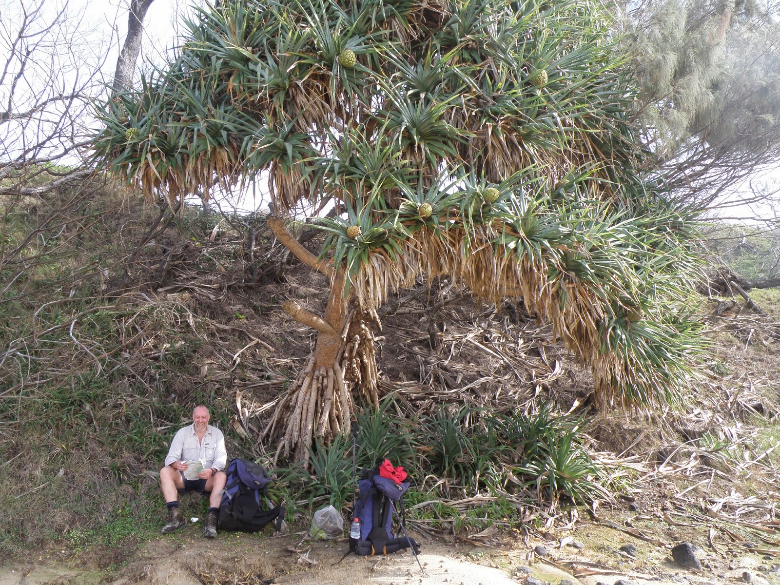
Having a bit of a break at Poyungan Rocks around half way down the beach. |
|
|
By mid afternoon we were checking into our accommodation in Eurong, putting the balcony railing to good use drying out our tents. That night we dined in the restaurant with a couple who were touring around in there 4wd, spending a convivial night trading war stories. It was nice to slip into a soft dry bed that night which had the added advantage of not having any sand in it, as by now sand had infiltrated most of my kit.
 |
Skip looks a bit shattered.
 |
| The balcony at Eurong resort was handy for drying our wet tents. |
 |
| Chilling out watching the passing parade of 4wd and planes on the beach at Eurong. |
|
Day 5. 33 kilometres 127 kilometres total
We were booked into Central Station tonight so we had a fair walk in front of us. Skip was feeling it a bit after yesterdays march down the beach and wasn't looking forward to another 11 kilometres down to Eurong, he was keen to try and hitch with our friends from last night, unfortunately for Skip they were no where to be seen this morning. So once again we were onto the beach heading south, I was now back in familiar territory again having walked this section on both my previous visits. The beach walk this morning was enlivened by a dingo and her pups playing on the beach, the rangers were parked nearby keeping a watchful eye on proceedings. As we neared Eurong Skip really wasn't happy and his mood wasn't lightened when our friends pulled up beside us a few kilometres from Eurong, looking in the back of their car I could see that there was no room for a couple of smelly walkers so said that we were OK and we didn't want a ride, Skip was now in the middle of one of his legendary mental meltdowns.
 |
Looking nice and refreshed after our night in doors.
 |
| About to start heading north on the great walk again at Dilli Village. |
|
For the rest of the day we only walked together occasionally, meeting up at key points. With some relief we finally left the beach at Dilli Village, after filling up our water bottles we headed off on our next section to Central Station. The first objective was Wongi Sandblow, and after stashing our packs we climbed up the steep wall of sand onto the top of the blow, like Badjala Sandblow on day two we had views all the way back to the coast. Leaving here we now passed a series of lakes, Lake Boomanjin, Lake Benaroon, Lake Birrabeen and finally Lake Jennings through the trees, unfortunately it was a bit cold for swimming today but I've pencilled in a return to this walk when the weather is warmer.I arrived at Central Station mid afternoon and soon had my tent pitched in the damp camping area, an hour or so later Skip turned up and judging by his red face he wasn't happy. The good news was that by the time it was tent o'clock Skip had calmed down a bit and relations had returned to normal.
 |
Skip decending off Wongi Sandblow.
 |
The tanin stained water of Lake Boomanjin
 |
That's Lake Birrabeen behind me.
 |
| Wanggoolba Creek at Central Station. |
|
|
|
Day 6. 19 kilometres 146 kilometres total
Our last day dawned overcast but dry, relations had returned to normal, and all was good. The objective today was to make the last barge back to River Heads from Kingfisher Bay, the problem was that between us and civilization there was a large section of the track closed around Lake Mckenzie. We had rolled the dice on day one and snuck in for a look but if we rolled the dice today and got turned back it may mean we would miss the last barge, with a soft bed, hot shower, cold beer and a steak waiting in Hervey Bay that wasn't an option I was keen to consider. So we went for the conservative option, we followed the great walk to Basin Lake and then cut down a trudged along Bennet Road, the soft sand churned up by the vehicles made it hard going but slowly but surely we ticked of the kilometres.
 |
Heading out of Central Station on our last day.
 |
Basin Lake in the rain.
 |
| We've just finished the road bash along Bennet Road. |
|
|
Arriving at the old tram line that runs down to McKenzie Jetty we left the road with some relief., meandering our way down to the coast. Last time I'd walked this section with Sam, Bel and Dave I'd reckonned that the beach between here and Kingfisher was probably the softest I'd ever walked. The good folk at the national parks had now cut a track along the tops of the cliffs so the going was much easier today, after stopping at a couple of lookouts and passing through the dingo proof fence we were soon walking back through the Kingfisher Bay Resort. With a bit of time up our sleeves before the barge left we headed to the cafe for a coffee and something to eat enjoying our last few minutes on the island. As the barge pulled away Kingfisher Bay disappeared into the gloom just as it had appeared on day 1, the celebratory meal that night in Hervey Bay with Sam and Janty went down well!
 |
Scribbly Gum
 |
Indigenous Art at McKenzie Jetty.
 |
The derelict McKenzie Jetty.
 |
McKenzie Jetty.
 |
The shirt has made its last walk, at one of the new lookouts on the track back to Kingfisher Bay.
 |
| Going through the fence that is meant to keep the punters safe from the dingos, although I think the dingos have more to worry about. |
|
|
|
|
|
The Dirt.
I booked our camping
permits online. The walk is fairly easy although we upped the difficulty a bit by doing some extra walking and skipping some camps. Personally I think the weather is a bit cold for swimming in the middle of the year, next time I do this walk I'll go when its a bit warmer. There is a shop at Kingfisher Bay, Happy Valley and Eurong. We stayed in the resort at Eurong as it gave us a bit of a break from camping, it is possible to camp in the dunes on the ocean beach however. The walk on rate for the barge is pretty cheap but I can't remember the exact $ figure. All in all a really good walk.
 |
| We've just hit the bitumen at Kingfisher Bay. |
 |
| Time for a quick coffee before we jump on the barge. |
 |
| All loaded up and it looks like the rain is getting heavier. |
 |
Kingfisher Bay Resort disappearing into the mist as we sail away from Fraser Island.
|


