We've had another very ordinary week of weather in Melbourne this week, so ordinary that I haven't been able to ride to work once. Living in the outer suburbs we don't have flash sealed paths for bike riding, my commute is around 60% unsealed and when we get more than a couple of millimetres of rainfall the track becomes a mud bath, if we get much more than 10mm Dandenong Creek comes up high enough to flood the path, not a really pleasant surprise as I barrel along at 5 in the morning. So with no exercise all week I was pretty keen to go for a stroll on Saturday, I'm one of those unlucky people in that if I even walk past a bakery I put on two kilograms, after a week without exercise I reckon I'd already stacked on a couple of kilo's. So after finishing work in the early afternoon I decided to head off to Birds Land near Belgrave.
 |
| And we're off, crossing Monbulk Creek. |
Birds Land isn't named for its abundance of birds as you might expect, instead its named after its former owner. Sam had grown up across the valley from Birds Land and had played in the paddocks and creek as a kid, and I had also spent a bit of time here when we started to go out, and over the years I've walked and mountain biked most of the tracks in the park. With the limited time today I decided to revisit a walk written up by John Chapman in his Day Walks Melbourne book. So anyway at the slightly late hour of 2pm on another grey and damp Melbourne day I zeroed my GPS and set off on the walk.
 |
| A large number of wattle trees added some colour to an otherwise grey afternoon. |
The walk starts off very easily following Monbulk Creek gently downstream to two lakes that are part of a flood retarding basin. The walking along here is through a mixture of manicured parkland and native bush, the lakes are home to plenty of ducks and wood hens and even with the overcast skies it was still a pretty spot. Leaving the lakes I climbed up over the wall of the flood basin and entered Lysterfield Park. If Birds Land is slightly manicured then Lysterfield is more your typical Australian Native Bush and I immediately felt more at home in the scrappy eucalypt forest.
 |
| Climbing over the wall of the flood retardation basin at Birds Land. |
Sloshing my way along Dargon Track I had views over farmland towards Melbourne and its sprawling eastern suburbs, the highlight for me on this stage though is when the track gently climbs the side of a shallow valley up to Granite Track, the native grassland in the damp valley reminds me of our alpine grasslands. Turning up the grassy Granite Track I slipped my way up to the huge granite rocks for which I presume Granite Track is named, on the way passing through a mob of Eastern Grey Kangaroos grazing on the open grasslands just outside the park.
 |
Dargon Track gently climbs the right side of this nice valley.
 |
 |
A local Eastern Grey taking in the distant views of Melbourne from Granite Track.
 |
| Granite Track. |
|
|
|
Leaving Granite Track in a grassy saddle after a very slippery descent, I turned south on the only really navigationally confusing bit of the walk. I'm not sure if I turned south to early but I found myself on a mountain bike track that was heading in roughly the right direction, if this sounds a bit dodgy don't worry, the whole time I could hear the constant stream of traffic on Wellington Road which was my next objective, and the open forest provided plenty of options to get there so I was hardly going to get lost. Popping out of the bush onto the wide grassy firebreak that parallels Wellington Road I followed it south east for half an hour until I turned off onto the start of Granite Track, glad to again be away from the constant drone of the traffic on Wellington Road.
 |
Monbulk Creek lookout.
 |
| I turned left in this saddle and headed towards the constant drone of traffic on Wellington Road. |
|
Granite Track climbed steeply initially up to the highest part of the walk, the steep climb however was only fairly short and before long I was ambling along a undulating grassy path again. Meeting with some private property I skirted what looks like a new fence line, walking more on intuition then really knowing that I was going exactly the right way. Eventually I met a signpost and everything was clear again, the walk now takes a bit of a circuitous route around the hills overlooking Birds Land before starting to descend another slippery grassy track. Whilst descending the open grassy section I got my best views of Melbourne in the distance, at the same time I managed to get photo of one of the many Rosella's flittering around. Unfortunately I couldn't get a shot of the Kookaburra that was also hanging around, it managed to keep too many branches between us.
 |
More pleasant walking, this time on Ballart Track.
 |
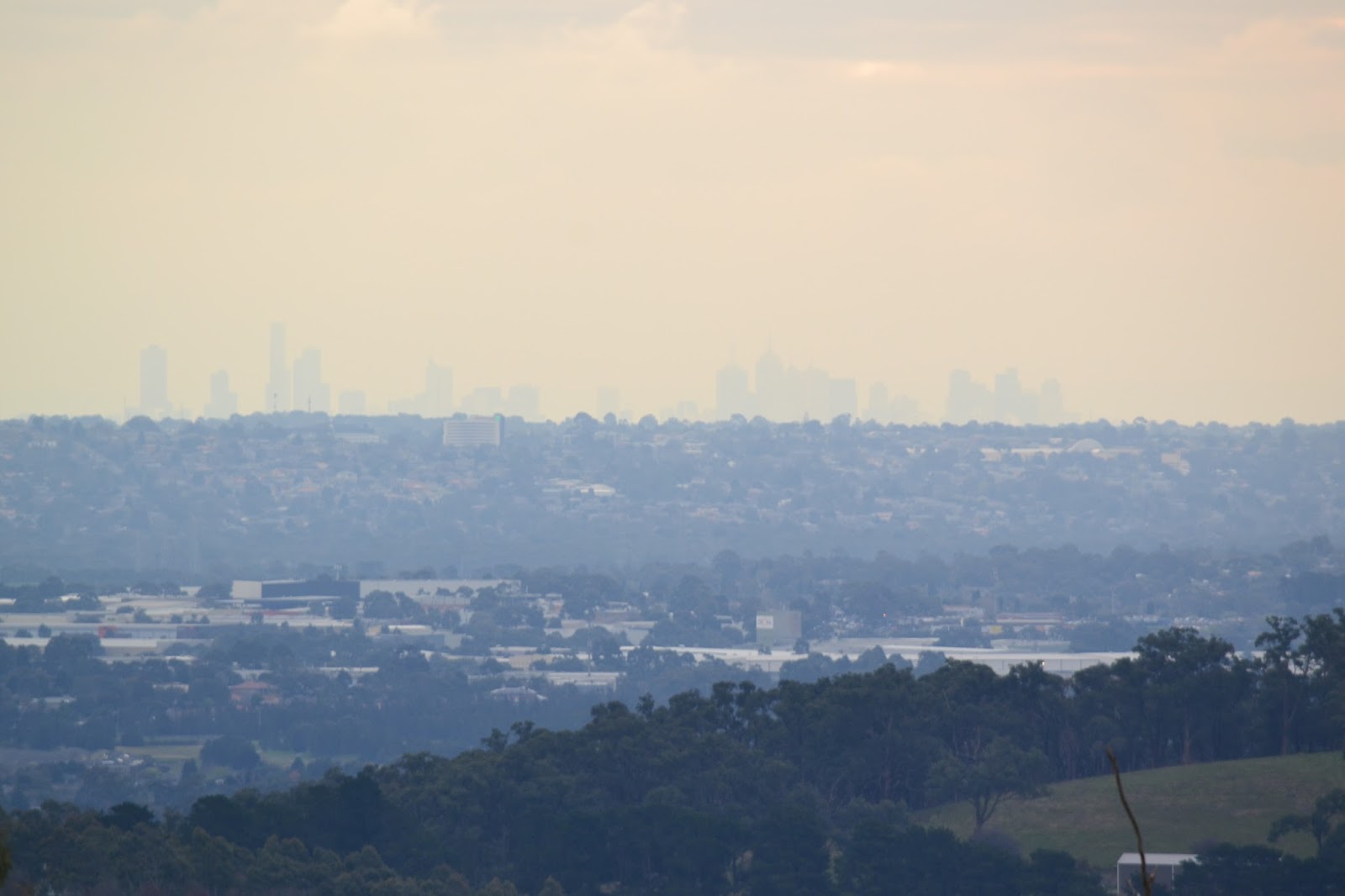
That's the CBD in the distance, I was really struggling with my photos today!
 |
| For once I had the right lense on at the right time. |
|
|
The final descent down Sunset Track was even slipperier than those that had come before but I somehow got down without falling on my arse. All that was left now was to head back through Birds Land past the lakes in the flood retardation basin, this time on the south side. Sloshing along the sodden track I checked out a side track over a small wetland before taking my last photo of the turgid water in Monbulk Creek, arriving back at the ute a couple of minutes later.
 |
This may have been the Rosella's home.
 |
| Late afternoon reflections in one of the man made lakes at Birds Land. |
|
The Dirt.
I used the notes out of John Chapman's
Day Walks Melbourne, it's walk number 22 in the book. According to the GPS I walked 11.14 kilometres and climbed 297 metres. This walk isn't scenically stunning or a hardcore physical challenge, but it is a nice place to spend an afternoon rambling around some very pleasant Australian bush. I'd rate this a medium walk. The whole walk follows wide management trails, sometimes gravel and sometimes grass, the only section that isn't on a management trail is the section dropping off Granite Track down to Wellington Road, I ended up following a mountain bike trail, but the open bush and the drone of the traffic make it easy to find your own way down to Wellington Road.
Parks Vic have plenty of free stuff online for both Birds Land and Lysterfield.
 |
| Not sure what the 'go' is with this boardwalk, its unsighnposted and doesn't appear to go anywhere, but someone has obviously gone to some effort and expense to put it in. |
 |
| About three minutes from completing the walk and I'm still trying to get a good photo of Monbulk Creek. |


No comments:
Post a Comment