If there is one place every Aussie should visit its Uluru, no matter how cynical you are about indigenous sacred sites its almost impossible not to believe that Uluru holds huge cultural significance to the local Anangu. Over the years I’ve seen this place evolve, my first visit up here was around the time of the hand back and I remember even now the doom and gloom that created in the conservative lounge rooms of Australia, I might of been a blue collar bogan but I wasn’t totally insensitive. Moving all the facilities away from the rock to the purpose built town of Yulara was a huge positive, developing cultural tourism was another, discouraging the punters from climbing the rock while promoting the circuit walk was controversial but a good move. Over the years the demographic that visits Uluru appears to have changed a bit, the hardcore bogans out conquering the outback from the seat of their 4wd’s have dropped off a bit while the number of punters wanting to learn about the history, environment, and culture seem to have filled the void.
 |
Conditions were a bit on the overcast side this morning, it was still warm though.
 |
| Uluru on my first morning in the park. |
|
Now on my last post I mentioned a block of cloud coming in from the west, well I awoke today to overcast skies and reasonably humid weather, it appears that I was visiting the ‘Tropical Red Centre’ on this trip. The tropical weather bought with it some pluses and some minuses, on the positive side the temperatures were a bit lower and there was plenty of water in the water holes, on the minus side the humidity made the lower temperatures feel hot and the overcast skies weren’t great for photos. Today I decided to head to the cultural centre, park the ute, and then walk around the base of Uluru, to get to the rock from the cultural centre I would walk the Liru Walk.
 |
I've located the start of the Lira Walk at the cultural centre and I'm on my way.
 |
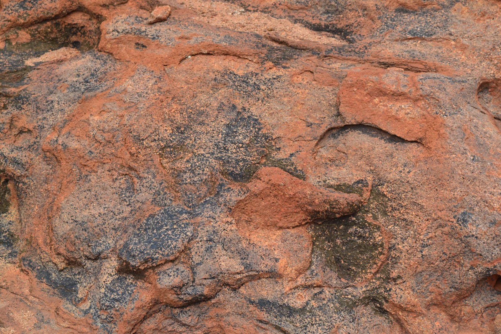
There are signs of indigenous occupation where ever you look.
|
|
Once the hardest navigational challenge for the day was achieved - finding the start of the Liru Walk at the cultural centre, I was on my way. The Liru Walk strikes out across the flats towards the Mala Carpark, the huge rock growing larger and towering overhead, the easy track crossing extensive scrub covered clay pans making for a very nice start to the day. Arriving at the Mala Carpark I was suddenly surrounded by tourists, this is the car park for the climb as well as the car park for the ranger guided Mala Walk. The climb was closed for safety reasons, from memory an activist has ripped out some of the chain that the tourists pull themselves to the top by. Not many people actually climb the rock now days and its only a matter of time before the climb is closed for good I think, you’d have to fairly insensitive to climb it knowing that the traditional owners aren’t happy about it.
 |
| The climb. |
I figured I’d walk around in a clockwise direction today, immediately after leaving the Mala Carpark the walk passes by a succession of caves including Kulpi Nyiinkaku - the teaching cave and Kulpi Watiku - the mens cave, the caves have access and normally a information sign or two explaining the significance to the Anangu. It was getting reasonably warm now so I was happy to make the short side trip to Kantju Gorge, this gorge has a semi permanent water hole beneath the highest single vertical wall on Uluru. The large gums around the water hole provided some nice shade, but the waterhole itself was very low.
 |
Mala Walk.
 |
Kulpi Nyiinkaku - the teaching cave.
 |
 |
| The high waterfall in the middle of the photo feeds the waterhole in Kantju Gorge. |
|
|
|
Leaving Kantju Gorge meant backtracking a little to re-join the base walk, the next section passes by a lot of culturally sensitive sites where photography is banned, the base walk takes to the ring road for a bit before striking out across a large clay pan. The walk is punctuated by wood sculptured benches and judging by their polished appearance a lot of bums have been parked on them, the other notable feature of this walk (and a few of the others up here) is the emergency stations, they come complete with emergency radio, drinking water, the afore mentioned bench, sometimes a shelter and a plethora of information about the walk.
 |
Heading across the clay pans around the culturally sensitive north east corner of Uluru.
 |
 |
| The National Park people have got a few of these emergency stations scattered around the walk. |
|
|
Eventually I passed the sensitive Kuniya Piti and started my amble along the southern flanks of the rock, grateful for the little bits of shade that I picked up. The base walk on the south side stays closer to the rock, in-fact for long sections its within touching distance, the south side is also home to the best waterhole at Uluru in my opinion, Mutitjulu Waterhole. I have always wanted to see the rain cascading down the rock into this waterhole but in all my visits the best I’ve seen is a small trickle, today wasn’t going to be my day either although this is the most reliable water at Uluru so there was a fair bit of water in the waterhole. Like Kantju Gorge, Mutitjulu Waterhole has a few caves in the near vicinity, Kulpi Mutitjulu - the family cave being the best one probably, these caves or the waterhole make a great place to stop for awhile and just soak up the atmosphere of the place, when I imagine what a sacred site would look like then this is what comes to mind.
 |
You can just see Kata Tjuta in the distance.
 |
There are quite a lot of these sensitive sites.
 |
On the south flank of the rock the Base Walk gets very close to the rock.
 |
 |
That's the catchment for Mutitjulu Waterhole, the most reliable waterhole around Uluru.
 |
Mutitjulu Waterhole.
 |
Kulpi Mutitjulu - the family cave.
|
|
|
|
|
|
|
The walk now heads around the western end of the rock and once again passes by a lot of culturally sensitive sites. While today wasn’t that hot for Central Australia in summer it would still be considered a hot day in most places, at around 35 C I was looking forward to jumping in the pool when I got back to Yulara. The Base Walk was almost over now as I arrived hot and sweaty back at the Mala Carpark all that was left to do was to retrace my route back to the cultural centre via Liru Track, the low scrub on the clay pans giving me some shade.
 |
This is my favourite place at Uluru, sitting in Kulpi Mititjulu gazing towards Mutitjulu Waterhole.
 |
There is plenty of great furniture around the walk.
 |
Along with the odd artefact, this is a grinding stone.
|
|
|
The Dirt.
If there is one walk everyone in Australia should do its this one, I feel that this place goes to the heart of our country and our culture, there are numerous places on the walk you can just stop,sit and soak up the ambiance. The Base Walk is extremely well signposted with directional signs and information boards at frequent intervals along the track pointing out places of significance, I used the notes out of Tyrone Thomas' book 40 Great Walks in Australia but you really only need the park notes. Now you have to realise that there are a lot of areas that photography isn’t allowed due to cultural reasons so come with an open mind and respect the wishes of the Anangu, it would be easy to make a mistake and photograph a sensitive sight as you may walk for a few hundred metres without seeing a sign telling you wether you can take photos or not. Before or after completing this walk I highly recommend a visit to the excellent cultural centre to learn of the dream time stories about Uluru, I’ve been there at least half a dozen times over the years and am still trying to get my head around a lot of the stories, there’s also a cafe, National Park Office and an indigenous art shop at the cultural centre so there is plenty to check out. The walk itself as I did it is probably a medium grade walk, I walked 17.3 kilometres and climbed 55 metres, there is definitely not a lot of climbing involved. The National Park people have placed drinking water tanks in a couple of places, there are some shade structures and plenty of benches to sit and rest on. I did this walk in summer and it requires a bit of planning, long loose shirt, 4 litres of water (3 frozen at the start), and, unusually for me, an early start. You can’t beat the conditions so you have to learn to live with then, make use of the shade and the caves and take your time.
 |
There weren't a lot of punters braving the heat but I still had a bit of company.
|
 |
| There are quite a lot of these signposts scattered around the place. |
 |
| Back at the cultural centre. |


No comments:
Post a Comment