 |
| Munyang River |
After a comfortable night back at Thredbo, this morning we jumped into the ute and Sam dropped me off over at Smiggin Holes. With the sun shining and barely a breath of wind Smiggin Holes was looking about as good as it could this morning, that is to say ‘not real good’. With the usual pang of regret at having to say goodbye to Sam again, I shouldered my pack and trudged off along the dusty Link Road. I was thankful to be leaving the forlorn environment of Smiggin Holes as Link Track first climbed around a hill and then started it’s descent above Perisher Creek around the back of the Perisher Ski resort. Today was another fairly warm day (as far as it can be warm in the alps in November) and walking this wide dusty road meant that I wasn’t getting a lot of shade to keep things a little cooler.
 |
And I'm off again....
 |
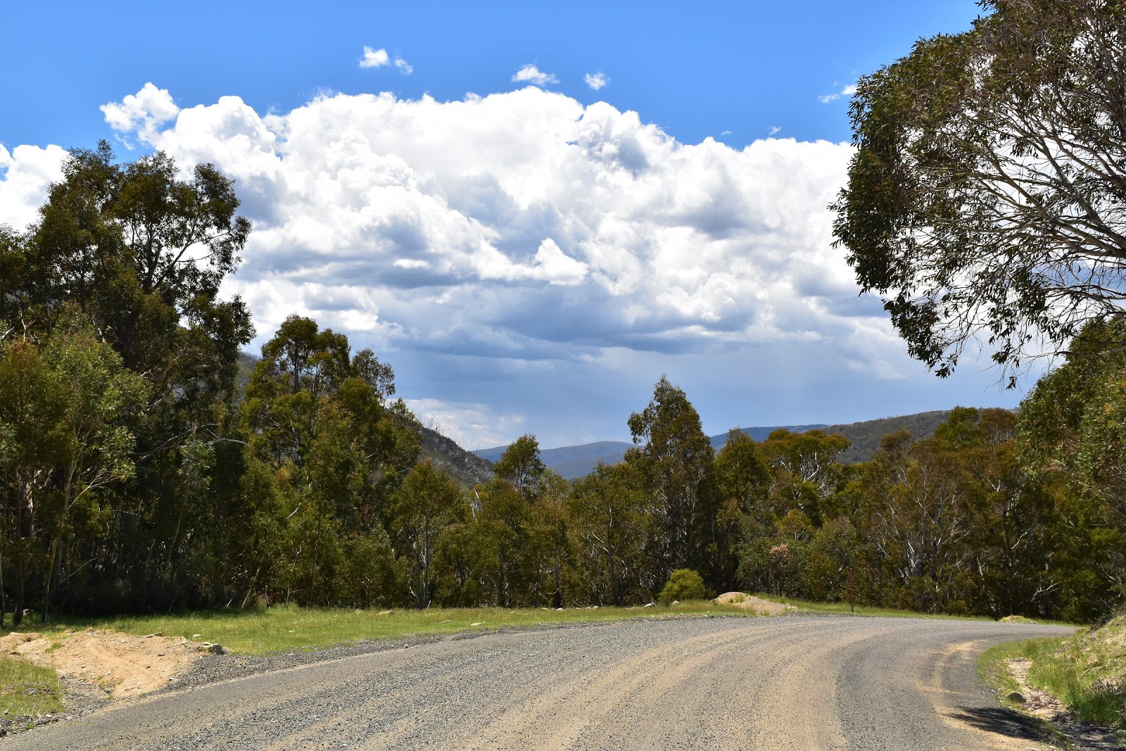
Leaving Smiggin Holes along the dusty Link Road.
 |
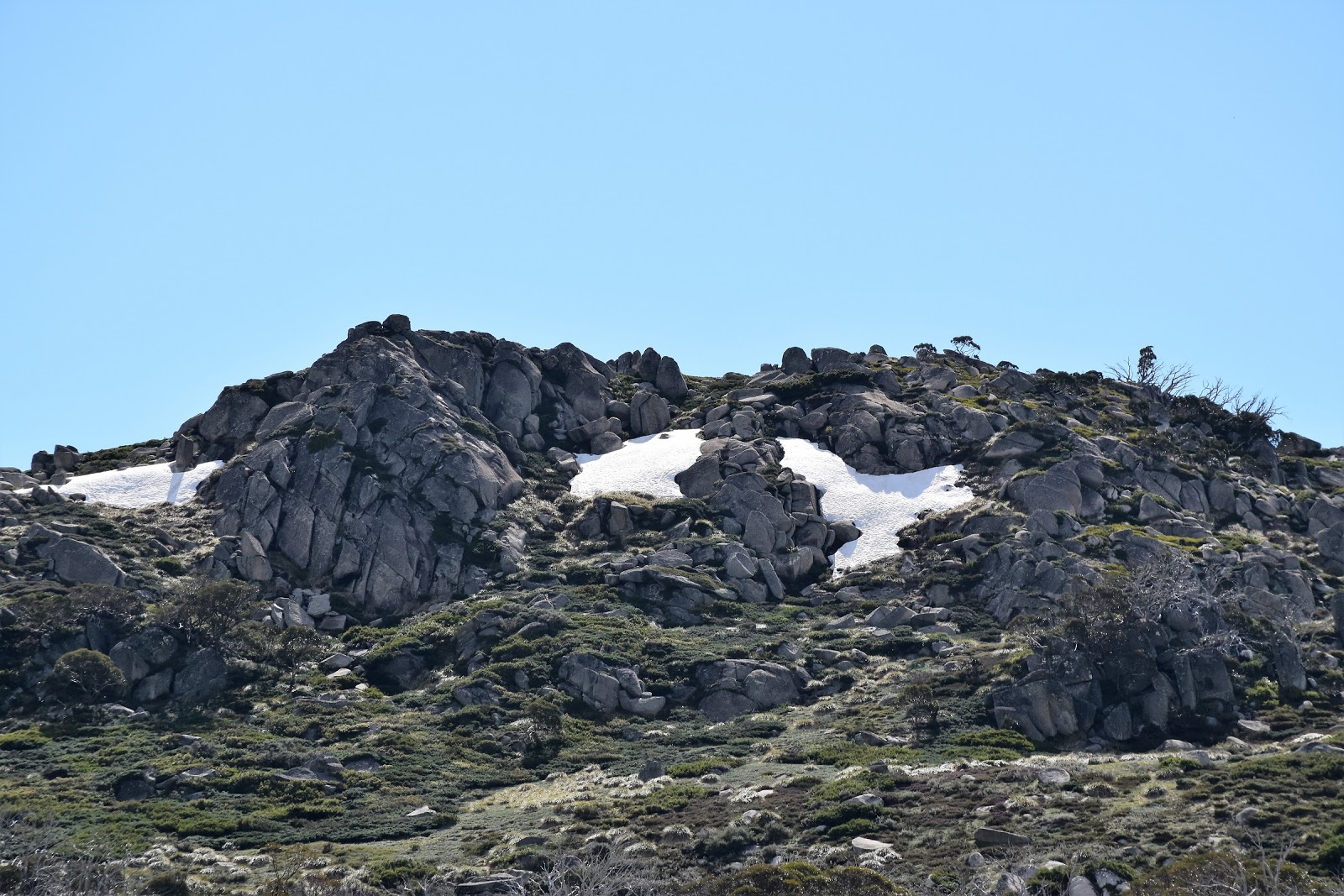
I'm thinking that small notch in the distant ranges is Schlink Pass, a few hours walk away yet.
 |
Perisher Creek
 |
| Link Road had me walking around the back country of Perisher. |
|
|
|
|
A little over an hour after heading off from Smiggon Holes, Link Road met Guthega Road and I started to descend in earnest down towards the Munyang Power Station. The power station made an unlikely spot for an early lunch but with a few shady trees and a couple of handy size rocks to sit on it did me nicely. After lunch I continue on across the bridge over the greatly depleted Snowy River (Munyang is a hydro power station and the river is dammed up stream), past the no authorised person entry sign, through the power station and then arrived at the turn-off for Munyang-Geehi Road. Now the AAWT normally continues up Aqueduct Track past Disappointment Hut but arriving at the junction of tracks today I was greeted by a sign telling me that the bridge over the Munyang River was out, so after a quick glance at my map I started to trudge up the closed Munyang-Geehi Road instead.
 |
Dropping down Guthega Road towards Munyang I was searching out shade a little.
 |
Not the most scenic lunch stop on my AAWT journey.
 |
| The official AAWT goes to the right, I went to the left up Munyang-Geehi Road. |
|
|
Munyang-Geehi Road would again meet the official route of the AAWT higher up towards Schlink Pass, but before that I had a few kilometres to put under my boots. After a few switchbacks Munyang-Geehi Road climbed a little more easily, passing beneath a shady canopy of Snowgums in spots and crossing nice snow plains in other spots. I’ve done prettier walks but for quick access back up to the high country this road did the job this afternoon. Crossing the Munyang River on a substantial concrete bridge gave me the excuse to stop again for awhile, although while basking in the sun I had the shit scarred out of me by clap of thunder peeling its way across the valley.
 |
Climbing away from Munyang the good walking returned.
 |
Sometimes Munyang-Geehi Road had me passing beneath an avenue of Snowgums......
 |
....and sometimes across beautiful snow plains.
 |
| Crossing Munyang River I was again reminded of the unsettled conditions over head by a clap of thunder. |
|
|
|
So with some more weather about I grabbed my pack and set off again with a little more urgency, my road was now climbing fairly easily up through Snowgums towards Whites River Hut, rejoining the official AAWT on the way. Whilst I was still climbing, it was all pretty gentle, as far as 500 metre climbs go anyway! Passing Whites River Hut, which was framed very nicely by the patchy snow covered Rolling Ground behind it, I continued plodding my way north towards Schlink Pass. By the time I arrived at the pass I was ready for a bit of a long break, so after dropping my pack on the grass I joined it, kicking back stretching out in on the grass in the warm sunshine. Yep it’s a hard life this long distance walking caper!
Lingering on my back on Schlink Pass I did manage to find the energy to pull out my phone, happy to catch up with Sam and find out that she was safely halfway home. With the phone call complete I decided that I’d better….go back to lingering in the sunshine on my back in the sun. Eventually a clap of distant thunder roused me from my revery, shit, time to start walking again. Thankfully I didn’t have far to go now though, my intended camp of Schlink Hut now only around 1.5 kilometres away down the valley, this was particularly good news as it appeared that I’d almost forgotten how to walk whilst I’d been prone on the grass, sleepily staggering down the road I was pretty happy to arrive at the deserted hut and drop my pack for the last time today.
 |
 |
Lying flat on my back at Schlink Pass life was pretty good this afternoon.
 |
 |
Back into the torched Snowgums.
 |
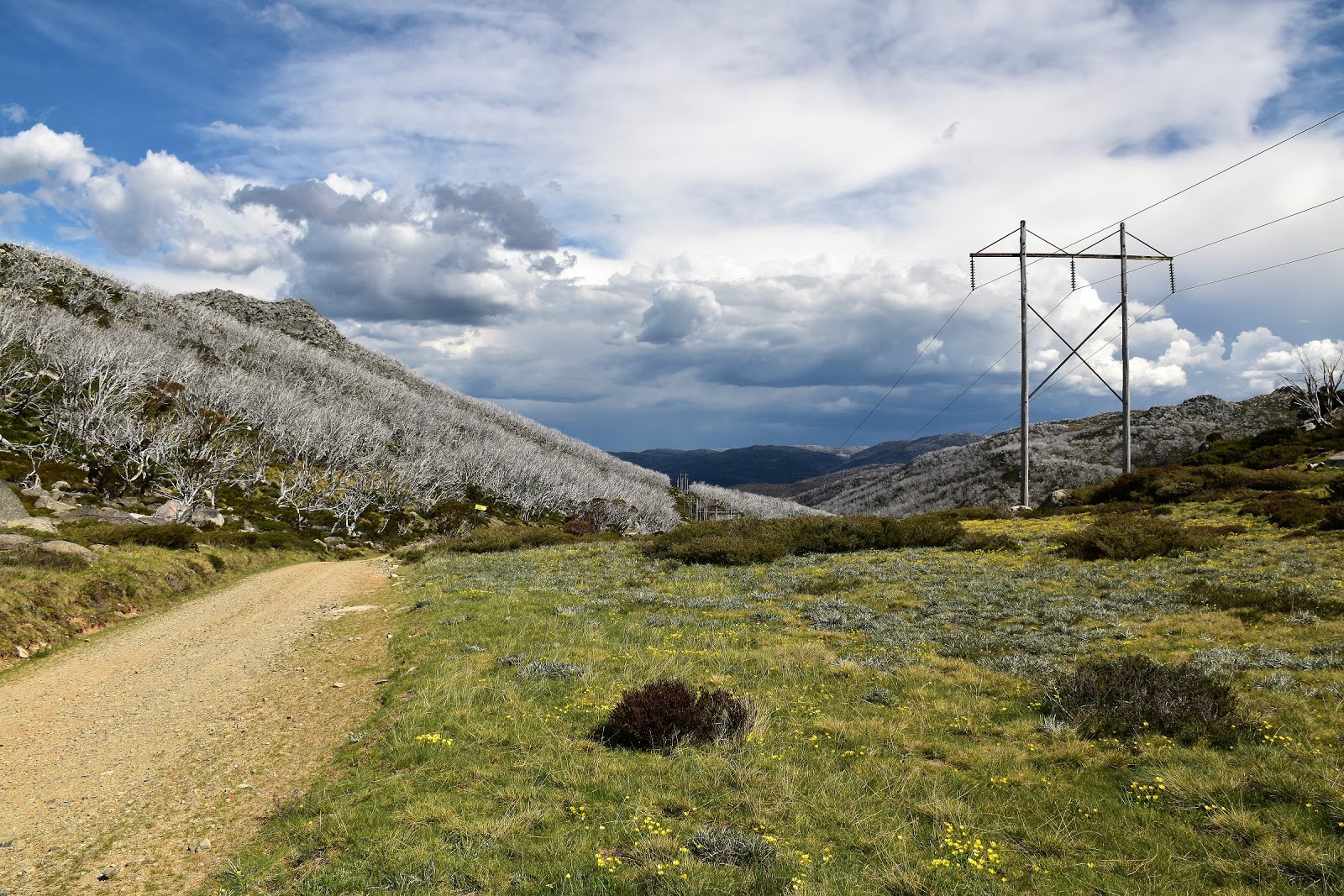
| It's a very easy ramble down to Schlink Hut from Schlink Pass. |
|
|
|
|
In walking circles
Schlink Hut is generally known as the Schlink Hilton and while it may be stretching it a bit comparing it to Paris’ flash digs it does make a pretty nice spot to spend the night if you’re out walking. Arriving at the hut I quickly scoped things out, setting up my gear in a small room and leaving the large room empty incase guests arrived. After hanging up my sweaty gear to dry a little I checked out the immediate area, a tributary feeding Dicky Cooper Creek cascading down past a residual snow drift below the hut. It was a fairly early day for me today having arrived at the hut before 4pm, by 6pm I’d eaten my dinner and was just contemplating an early night reading when the unmistakable sound of footsteps climbing the steps signalled that I had company arriving, bugger. I was joined tonight by a couple of mountain bikers heading to Melbourne as part of an un official mountain bike race called the Hunt 1000, it would turn out that this wouldn’t be my last interaction with riders in this race. With the riders having minimal gear they decided to get the fire going to keep warm, I decided that now was a good time to go for an evening stroll back up the Schlink Pass to check out the view, ring Sam and then hopefully return to the hut when the fire had died down a bit. Returning to the hut after dark we chatted for awhile before all retiring to our respective sleeping quarters, it was soon after that my mountain bike brothers discovered the perils of bunking in with the feral snorer, an affliction that is only made worse in warm stuffy environments;)
 |
Above Schlink Hut.
 |
Schlink Hut bathed in sunshine as I was arriving this afternoon.
|
|
The Dirt.
I walked 18 kilometres and climbed 550 metres on today’s medium grade stroll. On my 31 days on the AAWT so far I’ve walked 532 kilometres and climbed 23,705 metres. Finding water and navigation today is pretty easy and camping is plentiful once past Munyang Power Station. I got a Telstra signal at Schlink Pass but couldn’t get one down at Schlink Hut. Schlink Hut is a very salubrious back country hut, with water from the creek twenty metres from the front door and plenty of room inside it’s a nice spot to spend the night. I used John Daly’s and Chapman’s notes for this section along with SV Maps 1:50,000 Kosciuszko Alpine Area and Rooftop’s Kosciuszko National Park Forest Activities Map Jindabyne -Khancoban map.
Relevant Posts.
AAWT, Day 1, October 2017.
AAWT, Previous day, November 2017.
Waterfall Walk, Kosciuszko National Park, 2017.
 |
| Schlink Hut |
 |
| Dicky Cooper Creek flows down the valley below Schlink Hut. |


No comments:
Post a Comment