 |
With Autumn on its way the country was starting to change colour.
|
I had a fairly late start to today’s walk, by the time I’d eaten breakfast and packed up it was around 9:30am by the time I finally shuffled my way out of Ammarnäs. The Kungsleden left town by a slightly different route than my notes suggested but it was well signposted so there was no real drama. Apparently some walkers short cut this next section of the walk and cut out a days walking (and a big climb and descent) but the prospect of lots of open fell walking on what looked like it was going to be a great day had me looking forward to the walk.
 |
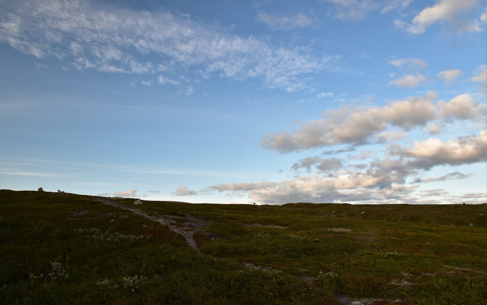
The Kungsleden was was signposted (although routed different to my Cicerone guide book) as it left Ammarnäs.
 |
Leaving Ammarnäs on the Kungsleden.
 |
I'm guessing that these are built by Termites...?
|
|
|
A little like at Hemavan, Ammarnäs also has some down hill ski lifts in the hills above town and like at Hemavan the Kungsleden climbed through them. Thankfully, after 20 minutes or so of steep climbing I reached the top of the lift, ahead of me the Birch thinned out and the open fells beckoned. After one last look back towards Ammarnäs I dropped down a bit to arrive at Näsbergstj Lake and it’s basic shelter, it was along here that I re-joined the route described in the Cicerone guide.
 |
I've just arrived at the top of the ski lifts. Ammarnäs is down in the valley.
 |
I'm not sure of the name of that mountain but it was constant companion for most of the day.
 |
Näsbergstj Lake....
 |
...and shelter.
|
|
|
|
Leaving Näsbergstj Lake the Kungsleden continued climbing, although the steep stuff was pretty well finished for awhile now. The more I climbed now the thinner the Birch and the smaller the lakes became, however at the same time the views were getting more epic. Once above the tree line walking became very easy as the rocky track snaked away for many kilometres into the distance. There are actually two Kungsledens, a winter track and a summer track. The winter track is for ski touring and sometimes crosses lakes and marshes that are impassable on foot in the warmer months. The winter route has red crosses on posts while the summer route uses red paint as track markers, on some sections of the Kungsleden the winter and summer routes are the same, for long sections today I was following the red winter crosses.
 |
Today was a great days walking.
 |
As usual there was no shortage of lakes to check out.
 |
 |
I got to wear my floppy hat today.
 |
I could see the Kungsleden snaking ahead for many kilometres.
 |
I was slowly inching my way around the mountain.
|
|
|
|
|
|
Heading towards today’s high point at Stuorajåbba I trudged my way past a brand new emergency shelter which I’m thinking is called Staburret rastkydd - well that’s what the sign said but these Swedish names (if that’s what it is) weren’t really rolling off my tongue! The new emergency hut is in the broad saddle before the climb to Stuorajåbba. The summit of Stuoajåbba is marked by a large cairn but really apart from that the views are pretty well the same as they had been for the last hour or so and would be for the next couple of hours - beautiful.
 |
The new emergency shelter.
 |
I'm guessing this is the shelter name - but it could say 'stay away' for all I know.
 |
 |
The summit of Stuorajåbba is marked by a decent cairn.
|
|
|
|
I had a couple of options for camp up my sleeve for today, the first one being to camp down near the Vindelälven River or, if I was feeling particularly good make the big climb up to the Guoletsbäcken River. Leaving the summit of Stuorajåbba I decided that seeing that I was still feeling pretty fresh and had plenty of daylight left I’d go for the longer option - you gotta have goals I suppose. With that decision made in my mind there was just the fact that standing between me and my Thermarest was a bloody deep valley that I had to get through, hmm time to start walking I guess.
 |
Have I mentioned the view?
 |
I followed the winter markers a fair bit today.
 |
I was fairly happy to arrive at the tree line and some water after hours on the ridge line.
 |
| I was now dropping down to the Vindelälven River - before climbing up into the hills on the other side of the valley. |
|
|
|
The descent down to the Vindelälven River from Stuorajåbba was an easy but fairly long one. Thankfully though for most of the way the Kungsleden stayed above the tree line and with the weather still good, the views mostly kept my mind off my now somewhat tired feet. I was actually pretty happy to meet the tree line this afternoon as I was pretty keen for a bit of a drink, the barren open tops that I’d been walking for hours hadn’t had a lot of flowing water on them. Once below the tree line it wasn’t long before I arrived at the rushing Vindelälven River which I crossed on another substantial suspension bridge. The Rävfalls Stuga is located just over the river which is the spot to stay if your not camping, although it’s a council owned Stuga not an STF job so you need to organise a a key before you get there. The bastu for this stuga is situated right on the edge of the cascading Vindelålven River and it looks like it would be a superb spot to sit and enjoy the view while enjoying the sauna.
 |
The Vindelälven River.
 |
 |
The Rävfalls Stuga....
 |
...and it's superbly situated bastu.
|
|
|
|
Having already decided to try and camp high again tonight I bypassed the stuga and kept shuffling on. The Kungsleden now almost doubling back on itself as I followed the course of the rushing Vindelålven River downstream, the valley opening up the further I went. There are a couple of openings along here that would have been suitable for camping if I didn’t have another big climb in me and with the afternoon light was casting everything in a beautiful golden light I was sorely tempted. Following this valley I was mostly walking an old dirt road but every now and again the Kungsleden short cut the old road, mostly using boardwalks. These boardwalks along here had to some of the slipperiest walking on the whole walk, with damp grass overhanging the boards it was like stepping onto ice in spots, somehow I got through without landing on my arse but it wasn’t graceful!
 |
I followed this dirt track down the valley for awhile...
 |
....before picking up the slipperiest boardwalk that I'd walked so far.
 |
Camping in the valley did have it's temptations...
 |
...but I pushed on this afternoon.
|
|
|
|
Eventually I reached the spot where the Kungsleden leaves the valley and started to climb again, this was the start of the last climb of my day - and the climb was a solid one! While it was only around 250 metres of climbing it was fairly steep, oh and I was pretty well
rooted tired by now. Thankfully when in need the Kungsleden provided as always, yep whenever I needed to sit for awhile the Kungsleden always provided a rock, err actually the Kunglseden provided rocks whether I wanted them or not - but I digress! After a couple of
rest stops photo opportunities the Birch started to thin out and I was soon on the open fells again, fifteen minutes later I arrived at the large suspension bridge over the Guoletsbäcken River. Finding a flat shelf to set up camp beside the river down stream of the bridge, I settled in for a very comfortable evening.
 |
| Time for the hard work to begin again. |
 |
The climb was solid....
 |
....but the Kungsleden provided!
 |
About to emerge above the tree line - life was good again.
 |
I've just crossed that valley.
|
|
|
|
The Dirt.
I walked 30 kilometres and climbed 1094 metres on what was a hard day on the Kungsleden. So far on my 5 days on my Kungsleden walk I’ve walked 112 kilometres and climbed 3234 metres. Once again there were plenty of camping options on the Kungsleden today, the choices are only really limited by your appetite for exposure - a lot of the track was above the tree line today. If roofed accommodation was needed then the council run stuga at Rävfalls is the only option. Once again I used the Cicerone guide book
Trekking the Kungsleden along with the topo maps on my GPS today.


This comment has been removed by a blog administrator.
ReplyDelete