
This land was home to the Ngiyampaa People for many thousands of years before European Settlement.

We had a stunner of a day for this walk.

The walk starts off by following the old access track for a few minutes...

... before passing through the old car park...

... and picking ups the dry stone track towards the art sites.
The plan this morning was that Sam would join me for the first few hundred metres of the stroll to check out the indigenous art sites before retracing her way back down to the picnic area and the ute, I was going to push on into the desert and walk a longer loop before heading back to Sam. Shuffling up the closed road to start the walk we were immediately conscious of the heat today, unlike much of our Christmas trip today was going to be a warm one, with a high 30˚ forecast. After a dusty few hundred metres up the access road we arrived at the original car park and set off up the very well constructed walking track to check out the art sites.

Heading up the western side of the dry creek bed.

Mt Grenfell Historical Site.

Mt Grenfell Historical Site.

Mt Grenfell Historical Site.

There is a small waterhole in the creek below the art sites - back in the day I'm thinking this resource would of been maintained constantly, nowadays the local wildlife scratch it out.

There is a lot to see along this short stretch of the walk.

There are silicone lines in the overhangs to direct the rain water away from the art.

Mt Grenfell Historical Site.

Mt Grenfell Historical Site.

Mt Grenfell Historical Site.
After ten minutes or so of very easy walking we reached the furtherest extent of the art site, Sam now headed back to the ute while I continued on the much rougher Ngiyampaa Walk. I now basically started a long arc around the catchment of the creek. The track now climbed fairly easily through grassy and lightly wooded country. I found myself following a variety of markers now, sometimes old treated pine posts, sometimes headstone like steel markers and sometimes bright red traffic control plastic bollards, so while the pad itself was pretty faint in spots there was little chance of getting lost.
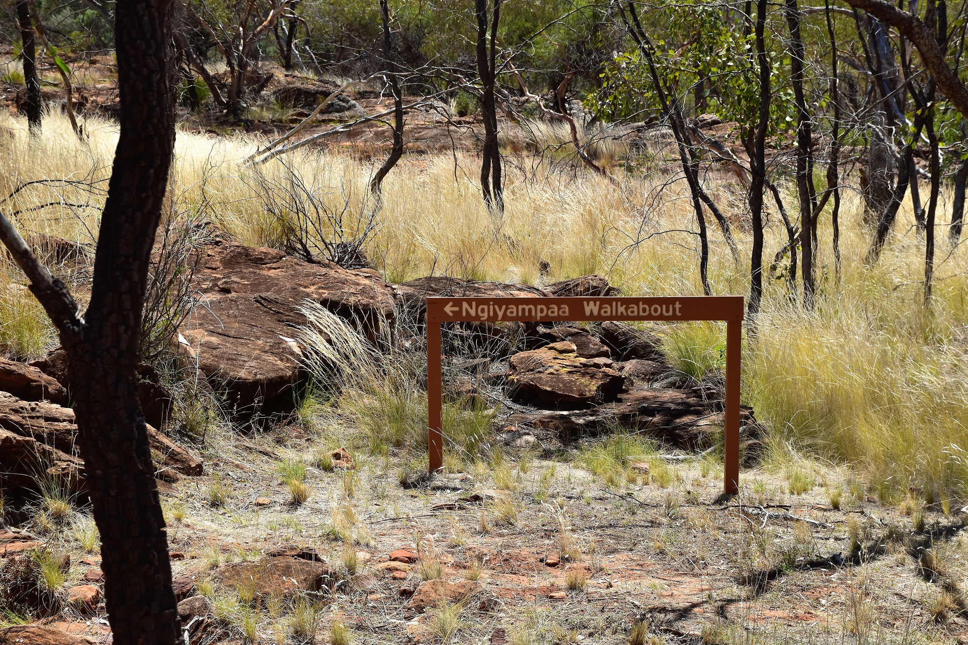
Alright... time to head off on the more remote section of the stroll.

Once away from the art sites the track was a little vague...

... although it was well marked with a variety of markers which included these tombstone style markers...

... some old treated pine posts...

... and even some traffic control bollards!
With the climbing more or less finished I followed a ridge line of sorts until I caught site of the trig off to my left. Despite it's somewhat moderate elevation the views from this high point are quite extensive, with the poppet heads on some of the gold mines that are scattered around Cobar in view on the distant skyline to the east. Looking south the scene was of waves of the drab green scrub stretching to the horizon, with no substantial landmarks this must be tough country to navigate through (although having a marked track helps;). Leaving the summit I crossed a nice, flat and sandy area that looked like it might of been a campsite at one stage, before starting a bit of a rocky descent back down to the creek.

When I reached this rocky outcrop on a ridge most of the climbing was finished.

The view from the ridge is of seemingly endless waves of drab green stretching away into the distance.

The Mt Grenfell trig. If you look in the right spot you can see the poppet heads of some of the gold mines around Cobar in the distance.

There is a good flat grassy spot a few metres below the trig. I'm wondering if this may of been camping spot when this area was being used for pastoralism?

Dropping back down to the creek the track was once again a little vague in spots.

I'm dropping down to the bigger trees in the middle of the photo.
As the descent eased off a bit the rock slabs lining the creek started to appear and I soon re-joined my outward route. The day was getting pretty warm by now and knowing that Sam was waiting for me back at the ute I didn't linger on my return journey, shuffling my way back to the car park fairly quickly and painlessly. Arriving back I found Sam sitting at a picnic table under the shade of a large Cypress Pine, with a slight zephyr blowing through it was a pretty nice spot on a hot summers day really.

Approaching the creek I was again in sandy country.

I'm about to arrive back at the art sites.

Mt Grenfell Historical Site.

This is really nice walking. Mt Grenfell Historical Site.

Arriving back at the well appointed picnic area/car park.
The Dirt.
According to my GPS I walked around 5 kilometres and climbed about 184 metres on what I suppose I'd rate as an easy-medium grade walk. This is really a walk in two parts, the short walk up the creek line is very easy, firstly along the old access road and then along a mostly dry stone paved path. The loop section up to the trig is comparatively a lot rougher than the creek section and in spots the pad was very rough and vague... although at the time I did the walk it was very well way marked. I got a very rudimentary map for this walk from the NSW Parks website as well as getting some information from Ken Eastwoods book Top Walks in New South Wales. I really just used my GPS topos on the walk though. Now I did this walk in the middle of summer but really this walk is best done in the cooler months, especially if children or the elderly are doing it. Mt Grenfell is well signposted off the Barrier Highway west of Cobar however once heading north off the highway it's a dirt and gravel outback road, this road is OK for 2wd vehicles if there has been no rain however like a lot of these roads you will be more relaxed in a 4wd vehicle. Finally, make sure you carry some water in the vehicle if visiting up here, particularly in summer as there aren't a lot of people around.
Relevant Posts.

You can get in here in 2wd in dry conditions.

I've driven a lot of these outback roads over the years both in 2wd and 4wd vehicles and I'm certainly more relaxed when I'm cruising along in a 4wd.

The Bogan Way;)... heading across to Canberra.


No comments:
Post a Comment