The AAWT passing through the Snow Gums near Mt St Phillack. The Snow Gums up here are really a feature of this walk.

It was already mid afternoon by the time I'd set off today.

The walking track climbed solidly up to a lookout platform.

The lookout platform was fairly low key.

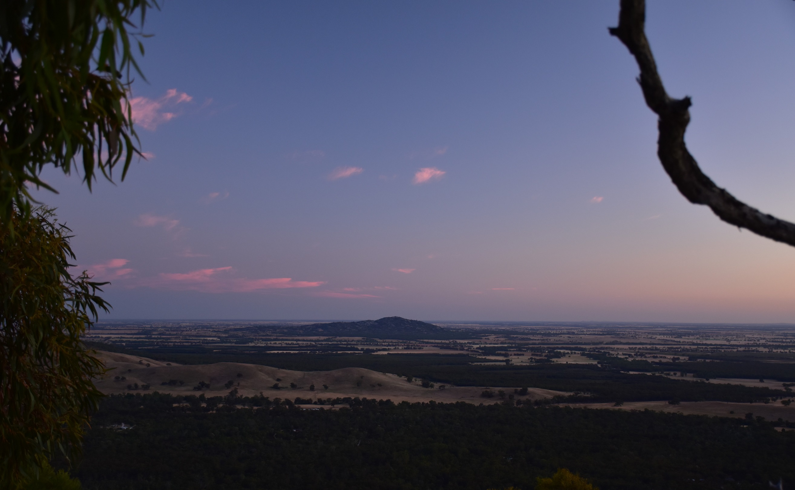
The view from the lookout platform was pretty low key too.

After leaving the lookout the walking track climbed to meet a cross country ski trail.

The ski trail is well marked with snow poles.

Approaching the Mt St Gwinear summit.

The view north east from Mt St Gwinear is one of the better view points on the Baw Baw Plateau.

Leaving Mt St Phillack I crossed this nice little snow plain to meet up with the AAWT.

The views from Mt St Phillack are restricted by the trees - but what beautiful trees they are!

Arriving at Phillack Saddle I was about to drop into this shallow gully.
As I've eluded too both Chapman and Siseman talk about a pad dropping from the saddle down to Mustering Flat. Now I've never found that pad however sitting at home reading my notes in the comfort of my lounge room I figured that maybe I just didn't try hard enough, after all Mr Chapman mentions the option of dropping down to Mustering Flat off the AAWT to camp for the night if you are passing through on the way to Canberra... surely it couldn't be that hard! So...leaving Phillack Saddle to the walkers who were camping there for the night I left the AAWT and waded into the waist high scrub looking for my elusive pad. After 15 minutes wading through and sometimes on top of the scratchy scrub, I could still clearly see the Snow Gum where I'd left the AAWT above me, but what I couldn't see was any sign of a pad! I wasn't going to be easily deterred this time though so I kept on pushing down the gully following a beautiful little creek, making my way down rocks, through sections of thick Tea Tree and negotiating the ever present scratchy alpine scrub (have I mentioned that I'd come prepared in shorts?). After what felt like hours, however was probably more like 45 minutes I could see the elusive Mustering Flat through the trees in front of me and after one last particularly gnarly section of head high scrub I finally pushed my way out onto the more open ground... fuck me, that was way tougher than described!

Allegedly there is a pad down here... although I've never found any evidence of it!

After much pain Mustering Flat has just come into view through the trees... happy days!

I still had one more belt of shoulder high scrub to push through though!

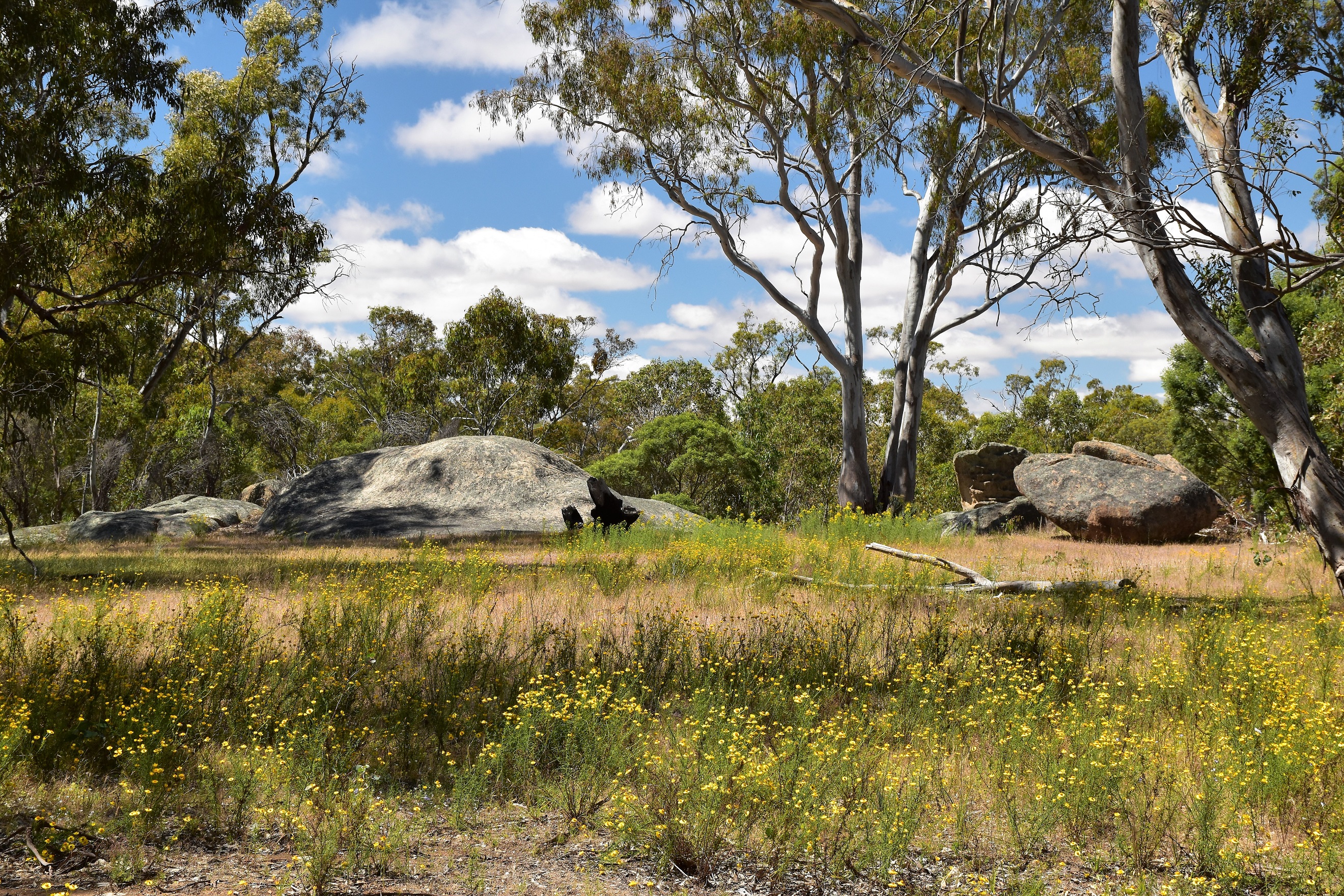
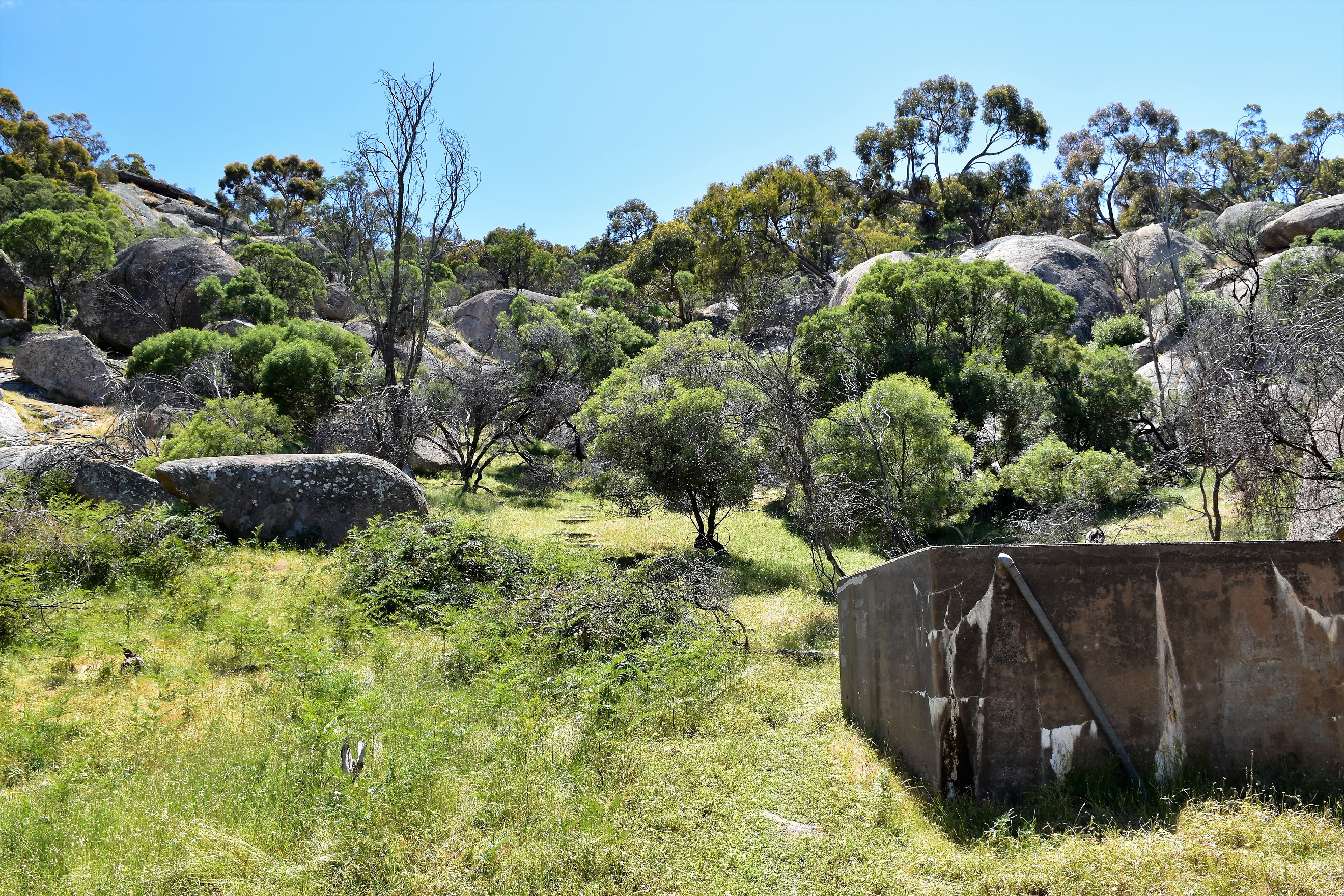
Mustering Flat, Baw Baw National Park.

Mustering Flat, Baw Baw National Park.

Mustering Flat, Baw Baw National Park. I'd dropped down the gully on the right of the photo.

I skirted around the edge of Mustering Flat.

I followed the small creek that drains the flat looking for a waterfall...

... this was as far as I got though. Daylight and enthusiasm were both running low now.
Now remember I'd talked about a circuit walk of sorts, well this is where the circuit bit comes in. Instead of retracing my scrubby gully back up to Phillack Saddle I was going to head west to pick up the walking track below Mt St Gwinear. Once again Mr Siseman talks of a pad heading across here and even my Rooftop map showed a rough route, however I was dubious...to say the least! After retracing my way partly back across Mustering Flat, eying off the scrubby gully where my track allegedly lay waiting for me I decided to abandon that plan and just strike off across country. Normally on an off track walk I'd stay well clear of the gullies and stick to the drier slopes on the sides of the hills so that's what I decided to do on my return journey. Picking a saddle between two hills to aim for I found that the walking was a lot easier, yes, there were belts of tough scrub however there were also easier sections of light to moderate scrub so my legs were getting a bit of a reprieve. Cresting the saddle and starting the descent down to Gwinear Flat on the other side, my cunning plan had paid off, after ten minutes I was on Gwinear Flat and the hardest walking was over. Shuffling my way across the plain I crossed North Cascade Creek on an old bridge, the first real sign of any track for hours, and then after a short climb I re-joined my outward walking track just below the summit of Mt St Gwinear...happy days!

Retracing my outward route along the creek.

Pushing through the low heath back around Mustering Flat again.

Instead of looking for a rough pad along the gully I climbed up and over a saddle between two hills to get to Gwinear Flat.

The slopes of the hills weren't exactly devoid of scrub however they were a lot easier than the gullies.

One more push through the scrub and I'll be on Gwinear Flat.

Gwinear Flat.

Looking east off Gwinear Flat, North Cascade Creek drains this small snow plain.

Crossing North Cascade Creek on an old bridge - my first evidence of a track for many hours.

Meeting my outward walking track I climbed the last few metres up to Mt St Gwinear.

Taking in the view from the Mt St Gwinear summit while I had a bit of a rest - it would be all down hill from here.
The Dirt.
According to my GPS I walked around 13.6 kilometres and climbed around 491 metres on what I'd call a hard grade days walking. The stats don't really tell the story of this walk, its the thick and scratchy alpine scrub that ramps things up a bit on this stroll. Both Mr Chapman and Siseman have mentioned tracks/pads that follow gullies. If /when I revisit Mustering Flat I'm not even going to try and find these routes - instead I'm going to go in and out by my return route over the low saddle to the north west of Mt St Gwinear, this route was rough but more enjoyable than the scrubby gullies. Apart from my old notes and maps I also used the Rooftop's Walhalla - Woods Point Forest Activities Map, although the rough route shown on that map was also pretty well gone too. For walkers experienced with off track walking in scrubby conditions this is a walk worth considering, although unlike me come with some long pants for the scrub though!
Relevant Posts.
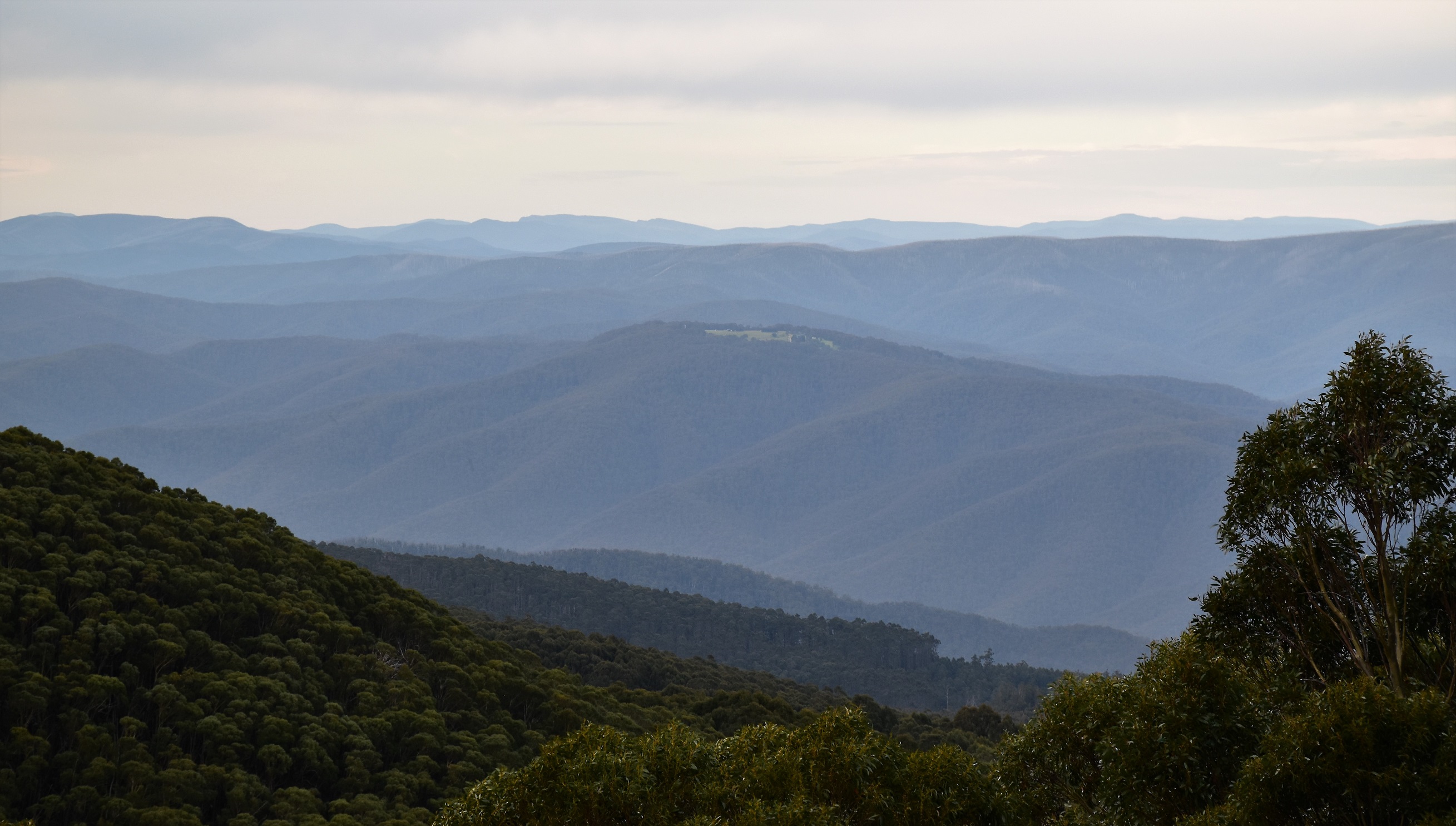
Looking north east from Mt St Gwinear. The little bit of cleared land on the ridge in the middle distance is the tiny settlement of Aberfeldy.

I dropped down the slightly longer ski trail through Jeep Track Flat on the way back to the ute.

Approaching the car park it was pretty well dark now.

Time to start dodging the deer on my drive home out of the mountains.