Last time I walked this Mt Samaria circuit was many years ago and my memories from that day were of overgrown and vague tracks along with a very dry and thirsty looking forest. Since then at least one big fire had been through this park so I wasn't overly optimistic that todays walk would be a good one, still not having visited the area for almost twenty years I figured that it was time to head back up and check things out again. After leaving home I was bouncing my way up the rough Mt Samaria Road nice and early this morning, and that was probably a good thing as today was meant to be a pretty warm one. Parking the ute at the small Camphora Camp Car Park I was on my way by around 7:30 am this morning.
When I set off from the deserted Camphora Camp Car Park this morning the sun hadn't yet made it's appearance.
Setting off on my clockwise circumnavigation of this part of the park I immediately passed through the deserted Camphora Camp, with a small creek, a table and a toilet this walk in camp would make an option if anyone wanted to spend the night up here. I wasn't stopping yet though, picking up the signposted Wileman Walking Track towards Wild Dog Falls I found myself walking a fairly gently undulating and clear track, well it was mostly clear although I still had to negotiate a few fallen trees. Still with the early morning sun giving the forest a nice golden glow and a fairly clear and obvious track things were looking good this morning.
Camphora Camp
The sun was just starting to kiss the tops of the trees.
The tracks were mostly clear, although there was still the occasional tree fall to negotiate.
That sun is getting closer.
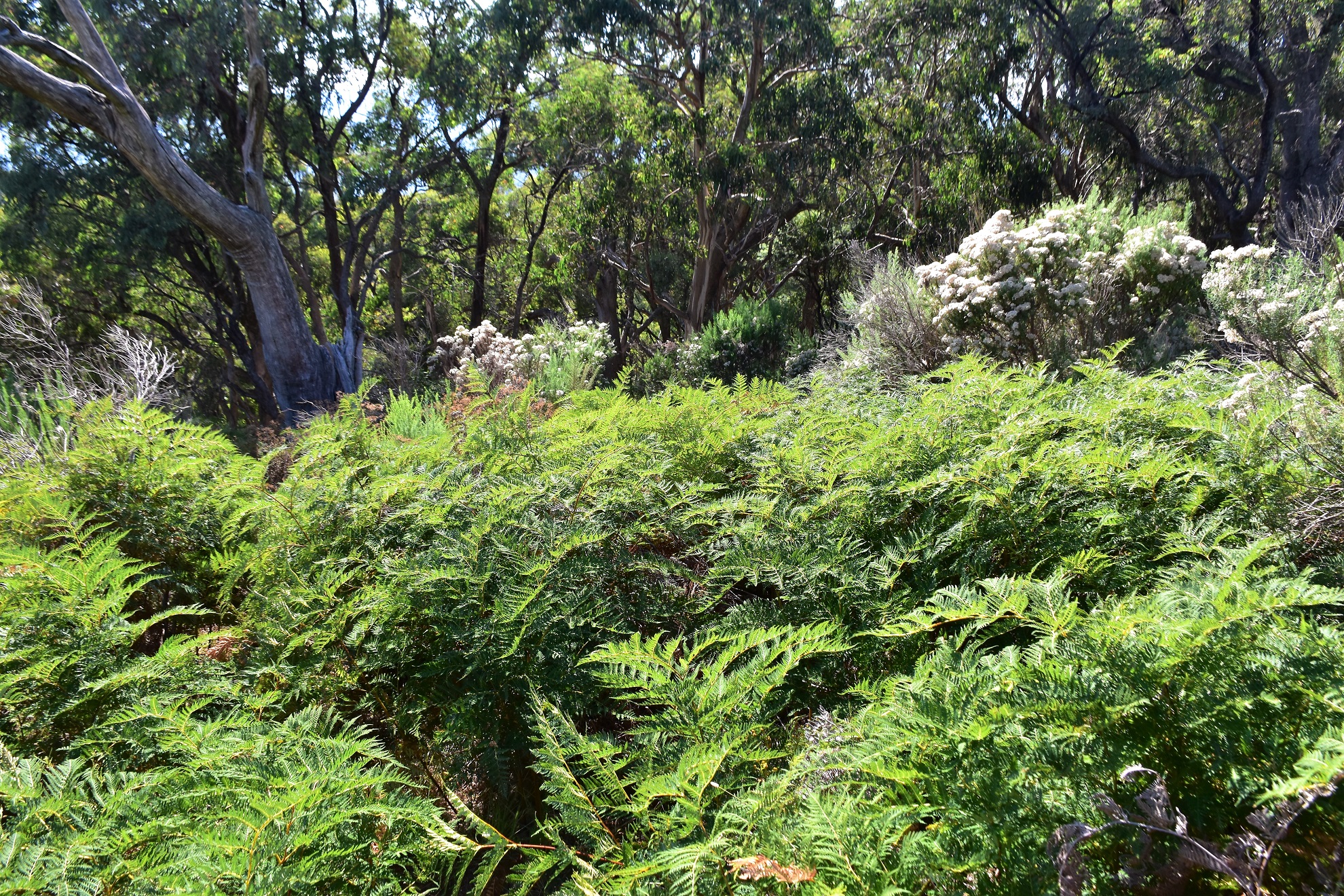
There are some very old and gnarly trees up here.
Dropping down towards Wild Dog Falls...
... the view to the west opened up.
After less than an hour of nice walking I found myself standing on the lookout at Wild Dog Falls, now this lookout gives a nice view of the mountains to the west however the view of the actual waterfall is pretty ordinary really. It is fairly easy to scramble around the rocks here though, so with a lot of care I crossed the creek and climbed the rocky bluff on the opposite side of the creek, the view from here was marginally better however I still couldn't really do this waterfall justice I don't think. After giving up on the falls I grabbed my pack again and climbed up the small waterfall loop track back up towards the Wild Dog Creek Camping Area, this is a really nice camp and would once again make for a nice spot to spend the night, with water from the creek, tables, a fireplace and toilets it's a pretty well set up walk in camp.

Wild Dog Falls...these falls are pretty hard to photograph I reckon.
Wild Dog Creek cascading down towards the falls.
The loop back up to the Wild Dog Camp was a solid haul.
Alright, I think the sun has arrived!
Wild Dog Creek Camp is another walk in site and it looks like it would be a good spot to spend the night.
After having a small smoko at Wild Dog Creek Camp I set off on the next leg of my journey which would take me up to Mt Samaria. Once again I found myself on a good walking track although now I had a decent climb to shuffle my way up, while this climb isn't super steep it certainly was steep enough to get the heart rate up a bit. By the time the track broke out of the trees near the summit of Mt Samaria I was again ready for a bit of a break, and the good news was that after pushing through a bit of bracken I arrived at the summit trig to find a nice clear rocky area to sit and take in the view - and what a view it was, with ridge line after ridge line dissected by rural valleys, Lake Nillahcootie out to the west and Mt Buffalo out to the east.
Heading out of camp I crossed over Wild Dog Creek.
Nice walking as I climbed Mt Samaria.
The views opened up as I approached the summit.
Mt Samaria Trig.
It was a reasonably warm day today.
Looking west from Mt Samaria down towards Lake Nillahcootie...
... and looking east towards Mt Buffalo...
... the view south featured lots of smoke.
Mt Samaria State Park is really a high plateau with some medium sized rolling hills on it (a bit like a scaled down version of Mt Buffalo) and so far this morning I'd been walking close to the western edge, now I was heading across to the eastern side. Leaving the Mt Samaria summit I soon picked up the track that would take me over to the walks high point, the 950 metre Rocky Knoll. The track started off a little vaguely as I negotiated a fair bit of bracken however when I dropped into the tree line everything was pretty strait forward again. The walk from Mt Samaria to Rocky Knoll was a really nice part of the stroll, the track was pretty clear and the country slowly changed from some wetter eucalyptus forest to more drier and rocky country.
Dropping off Mt Samaria...
... things went all Burke and Wills for awhile as I passed through this bracken...
... however things became clearer once I reached the tree line.
I was very surprised just how good the walking was up here on this visit.
Mt Samaria State Park.
I was very surprised on this walk how clear and well marked the tracks had been and it was only really on the final climb up to Rocky Knoll that I had to concentrate a little as the route crossed a few open rock slabs, although there were generally the occasional cairn to aid navigation. Once over Rocky Knoll the easy walking continued as I made my way east to cross Butcher Track (actually a left / right dog leg) before joining Tramway Track and following it down hill to the site of an old steam winch that is rusting away in the forest. The old winch is a relic from the areas old logging history and was used to lower logs down off the plateau along the tramway.
Climbing up towards Rocky Knoll the track crossed sections of bare rock which required a little concentration as far as the navigation went.
Rocky Knoll.
After leaving Rocky Knoll I headed east towards Tramway Track.
It looks like Parks Vic have been spending some money up here.
The bare rocky areas generally featured plenty of cairns.
Nice walking at Mt Samaria State Park.
Yeah... I'm not sure either.
Easy walking along Tramway Track.
After enjoying discovering the old bits and pieces of machinery in the forest I grabbed my pack again and climbed back up Tramway Track. I was now on the last of the really good sections of the walk as I followed Tramway Track back across the plateau to meet the Mt Samaria Road a couple of kilometres north of Camphora Camp. As you'd imagine with a name like Tramway Track the walking was pretty easy across here, the only real climb was in and out of a shallow gully where an old trestle bridge had collapsed - the decking from the old bridge still visible to my right. Once I'd swung left onto Mt Samaria Road I just had a fairly quick and painless road bash back down to the car park at Camphora Camp. Now walking a road sounds ordinary however this road is really closer to a track than a road and I wasn't troubled by any vehicle traffic along the journey (actually, I didn't see another human for the whole time I was in the park).
The foundations for the old steam winch on Tramway Track.
I was a little surprised that the old winch was built in Australia.
The old boiler is slowly being reclaimed by nature.
Climbing my way back up Tramway Track.
The remains of an old trestle bridge along Tramway Track.
I'm wondering if old mate walked out in bare feet?
The Dirt.
According to my GPS I walked around 19 kilometres and climbed about 688 metres (my phone App was slightly less) on what I'd call a medium grade walk. This is one of those rare walks that is far better now than when I first walked it decades ago, the tracks were all pretty clear and signposted (mostly), there are two nice camps, a nice waterfall and some old historical sites to check out. I was actually thinking during this walk that this would make a good Beeripmo style of overnight walk, there are already tracks and camps which means Parks Vic would really only have to fix up the track marking and signposting a bit. Perhaps the issue up here is the drive in - I came in from the Mansfield side up Mt Samaria Road and it is pretty rough, no real problem for a 4wd however it would be a bit of an ordeal in a conventional vehicle I think. I used the House of Chapmans notes and map out of edition 1 of their Day Walks Victoria book, the notes are over twenty years old however they are still fairly spot on, I also used an Alltrail map and my GPS topos.
Relevant Posts.
I followed Tramway Track across to Mt Samaria Road.
Mt Samaria Road.
Camphora Camp is well sign posted.
Time to head off on my next little adventure.
I'm thinking Alltrails is more accurate than my GPS.