Saturday, August 22, 2015

Warrandyte Goldmining Trail - August 2015

A nice colourful way to start the day.
It finally looks like our winter is starting to break a bit, Saturday even held the hope of a bit of blue sky. So, with only a couple of weeks to go before we head to Scotland to walk the West Highland Way I figured I'd better get my hefty bulk off the couch and do a bit of walking. Anxious to crunch out the kilometres which walk would I choose, well I decided to head up to Warrandyte and do the Goldmining Trail, at about 4.5 kilometres I was really pushing the envelope today! So after attending my friend, and old hiking partner Belinda's 1 year old's son Baker's birthday party, I headed off to the trail head, arriving by mid afternoon it was a fairly early start for me.
Starting off up the Bruce Bence Track.
Picking up the Bruce Bence Track I headed up a gully through typical dry Australian bush, topping out in an area of old gold mines, this isn't a park that you would want to do any off track walking as its riddled with old mines. Just a quickly as I had climbed I dropped down to check out the Victory Mine which dates back to 1896, I could basically see the ute from here so I hadn't progressed far. After the Victory Mine finished its serviceable life as a gold mine it was used to dump sewerage by the council, a fairly inglorious way to end its life, thankfully its been cleaned up and restored now.
There were plenty of flowering wattles in evidence today.
Heading down towards Victory Mine through an area of old mine shafts.
Continuing on I headed up Whipstick Gully Track which after turning into Wildcat Gully Track basically bisects the park in a north-south direction. The park was alive with wattles today making for a very colourful walk, although for the life of me I can't do the wattle justice in a photo. Reaching a saddle I headed up Betton Track and to the summit of Fourth Hill, the high point of today's stroll, although there would be no far reaching views from this well vegetated high point. 
The restored Victory Mine which dates back to 1896.
Now I turned off onto what was the most pleasant section of the walk, the Gold Heritage Track. This walking track slowly descended its way down to meet Wildcat Gully Track, on its way passing another couple of mines including Monument Mine which was the last operational mine in the Warrandyte area, only shutting up shop in 1965. The Gold Heritage Track is a well graded walking track which allowed a couple of views through the trees to the surrounding hills, the nearby houses precluding any real feeling of remoteness. 
There was no shortage of mine shafts on the Gold Heritage Track section of the walk.
The Gold Heritage Track.
The houses in the nearby suburbs were occasionally visible through the trees.
After one final section of board walk I popped out of the bush onto the wide Wildcat Gully Track, the sun was now out and it lifted my mood accordingly. Heading down to Anderson's Creek I rock hoped my way across the small stream and headed down to check out the Gold Discovery Memorial Cairn, this is the site of the first discovery of gold in Victoria in 1851. Back tracking now towards Wildcat Track I had a chat with some of the members of the local 'friends' of the park. These 'friends' groups are small community organisations that do great volunteer work in some of the park's around Australia, its a tradition that I hope to participate in when I finish work, this group had been re vegetating the banks of Anderson's Creek.
You'd be braver than me to venture into some of these mines.
The last small section of board walk before I met Wildcat Gully Track.
The Gold Discovery Cairn on Anderson's Creek, this was the spot that gold was first found in Victoria in 1851.
Having crossed the park from north to south I now headed back the other way, the late afternoon sun lighting up the tops of the trees above me as I climbed up Wildcat Gully Track to Geraghty's Tunnel. Geraghty's Tunnel was dug 130 metres into the rock back in the 1800's, you can still head in a few metres to check the tunnel out, although without a head torch I decided against it. Climbing back up to the saddle I once again joined Whipstick Gully Track and descended the somewhat steep and slippery management track through an avenue of wattles back to the ute.
Hey, hey I've finally got some sun.
Climbing back up Wildcat Gully Track.
Geraghty's Tunnel.
All that was left now was to take off my boots and then make the short journey into Warrandyte for a coffee, there are plenty of eating and drinking options in the old town and I will have to come back again with Sam and do a another walk here. Whilst sipping on my coffee I read the notes out of one of my guide books (yeah, it would probably help if I read the notes before I did the walk and not after, but where's the fun in that!), according to my guide book the square mine shafts were dug by European's and the round shafts were dug by Chinese miners. The Chinese dug round shafts or reworked the old European mines into a round shape, so that the devil's wouldn't be able to hide in the corners of the shafts, that's one for the trivia night!
The 'finish' photo.
The Dirt.
The Warrandyte Goldmining Trail is another stroll that isn't exactly a hardcore epic, according to the GPS I walked 4.6 kilometres and climbed 216 metres. The walk crosses a section of Warrandyte State Park from north to south, climbing a little on the way. The climbs are only short but are sometimes steep and in winter some of the tracks are fairly slippery. The walk goes through a lot of typical dry eucalyptus forest and in late winter there is a profussion of wattles. I used the notes out of 'Top Walks in Victoria' by Melanie Ball and also read the notes out of 'Melbourne's Best Bush, Bay and City Walks' by Julie Monday. Either set of notes would be more than adequate to complete the walk. Parks Victoria have plenty of free stuff online as well.

There are plenty of historic buildings to check out in Warrandyte.

Tuesday, August 18, 2015

Apia, Samoa - September 2013


Have you ever been that sick that you feel that your best option would be to crawl into a hole and die? An hour or so after sailing out of Apia Harbour I was in that kind of mind space, fuuuck, when would it end? The day had actually started off pretty good really, we had arrived bright an early in Apia on another beautiful South Pacific day, being docked at a wharf meant we didn't have to rely on the ships tenders to get us off the ship, so we were ashore nice and early. 
First up today we visited a small village.
First up today we jumped onto a local school bus and headed east to visit a small traditional village (well as traditional as a Samoan village can be when catering for a bus load of Aussie tourists!). After being shown around the village we all assembled in the village fale - an open sided ceremonial building. Lots of singing and dancing ensued while I slowly tried to shrink my somewhat oversized frame into a crack in the concrete, terrified that I might be asked to participate (you may not think it after reading my blog but I'm actually painfully shy). Eventually the audience participation part of the ceremony ended and we hooked into the kava, now this was more my style. Kava looks like muddy water, and to be honest it tastes a bit like that too, making your tongue go numb fairly quickly and giving you a pleasant buzz. So it was the kava that made my crook right,...err...no. After our welcoming ceremony and kava binge, we sampled some local fish and chicken cooked over the open coals, washed down with coconut milk, what could go wrong hey, well it wasn't the fish or the chicken that made me crook either.
Hey, hey its kava time!
Lunch is almost ready.
Hey I never said that this was hard core.
Looking slightly out of my comfort zone, actually I reckon I look like 'Bernie' out of 'Weekend at Bernie's' looking at some of my other photo's it's a look I seem to be cultivating!
Leaving the village we headed a bit further east along the beautiful coast line to the Piula Methodist Theological Collage. The attraction here wasn't the actual school though, but the freshwater grottos on the school grounds a few metres from the ocean. The water in the grottos was crystal clear and full of freshwater fish which kept me entertained for a while. The Piula Cave Pools, as they are known aren't exactly as nature delivered, there is a fair bit of concrete and landscaping to make it a bit more pleasant for the punters. There are actually two grottos and you can swim through a small passage at the back of the cave between them, although I wasn't too keen on that option, imagining myself wedged into a rocky tunnel in the pitch black.
The Piula Cave Pool.
There were plenty of freshwater fish in the pools.
You can actually swim through a narrow tunnel at the back of the cave and come out in another pool.
Leaving the Piula Cave Pool we headed back to the big smoke of Apia, although with a population of only 37,240 its hardly over crowded. After a quick shower and change of clothes on the ship we headed into town so Sam could have a bit of retail therapy, and at the same time I could continue my quest to get a floral 'Hawaiian style'  shirt from every country we visited on the trip, not as easy as it would seem as I was only interested in locally made shirts. Now here's a tip for young players, the taxi drivers on Samoa are the shiftiest I've encountered anywhere, make sure you have plenty of small notes and that you agree to a price before heading off, even after all that don't expect any change as its almost guaranteed that the driver we'll say he's got no change, ah well.
Our ship from down town Apia.
Time for a couple of beers on our way back to the ship after our shopping expedition.
After couple of shitty experiences with the taxis we decided to walk back to he ship at the end of the day, the walk along Beach Road was quite pleasant and Marina provided a nice spot to sit on the deck and have a couple of cool beers, celebrating another beautiful day in paradise (so it was the beer that made me crook, er not this time). Once again back on board the ship we dropped our stuff off in our cabin and then headed back up on deck to watch the sun set over Samoa. This cruising life is very relaxing, just sit back and watch the world go by, although I think I'd go crazy if we did this all the time. We left port just after dark that night and we're treated to a performance by some cultural dancers with their fire sticks on the wharf as we left, one of the most impressive sail aways that we've experienced.
Late afternoon, Apia Wharf.
The locals came to check us out.
A couple of hours later and I'm driving the porcelain bus. So what made me so crook, well there was one thing that I haven't mentioned. While we were in town I thought it would be nice to support some of the locals and buy something from the local market, so being the health conscious bloke that I am I settled on some fruit salad, thinking that would be a fairly safe option. Fairly safe that is until I saw the lady open up the esky and scoop the bits of fruit out of a milky substance (I'm assuming it was coconut milk), so my fruit salad was floating in a milky substance scooped straight out of an esky that may or may not have been cleaned properly after the last fishing trip, hmmm. Now if I had my time again I would of discreetly walked around the corner and thrown away my cup of milky fruit, but no I decided to give it a go while Sam shook her head and laughed at me, yeah I'm an idiot, but I'm an idiot with a social conscious. So that's how I found myself wishing that it was all over, every cloud has a silver lining though and it was because I was so crook that I discovered that the bathroom in our cabin was so small that my arse could be parked on the toilet and at the same time my head could be in the sink, which saved a nasty mess and also promised plenty of time savings in the future, after all all who doesn't want to sit on the crapper and brush their teeth at the same time!
The sun setting on another great day.
The Dirt.
Once again we cruised with Princess, as usual they provided a good value for money experience. We took a tour out to the village which we booked on the ship, my only issue with the ships tours is how much money gets back to the local communities that we visit, hence me wanting to buy locally made, although I probably should of stuck with shirts and not fruit salad. The Piula Cave Pool is a nice spot to visit but its a little bit manicured for my tastes, although with the number of people visiting I suppose that a bit of landscaping was inevitable. There is a small entrance fee for the pools. As for most South Pacific countries, and with the exception of the taxi drivers, the local Samoan's were welcoming and friendly.

Before we sailed away from the wharf some local fire dancers put on a great display.


Thursday, August 13, 2015

Birds Land - August 2015

We've had another very ordinary week of weather in Melbourne this week, so ordinary that I haven't been able to ride to work once. Living in the outer suburbs we don't have flash sealed paths for bike riding, my commute is around 60% unsealed and when we get more than a couple of millimetres of rainfall the track becomes a mud bath, if we get much more than 10mm Dandenong Creek comes up high enough to flood the path, not a really pleasant surprise as I barrel along at 5 in the morning. So with no exercise all week I was pretty keen to go for a stroll on Saturday, I'm one of those unlucky people in that if I even walk past a bakery I put on two kilograms, after a week without exercise I reckon I'd already stacked on a couple of kilo's. So after finishing work in the early afternoon I decided to head off to Birds Land near Belgrave.
And we're off, crossing Monbulk Creek.
Birds Land isn't named for its abundance of birds as you might expect, instead its named after its former owner. Sam had grown up across the valley from Birds Land and had played in the paddocks and creek as a kid, and I had also spent a bit of time here when we started to go out, and over the years I've walked and mountain biked most of the tracks in the park. With the limited time today I decided to revisit a walk written up by John Chapman in his Day Walks Melbourne book. So anyway at the slightly late hour of 2pm on another grey and damp Melbourne day I zeroed my GPS and set off on the walk. 
A large number of wattle trees added some colour to an otherwise grey afternoon.
The walk starts off very easily following Monbulk Creek gently downstream to two lakes that are part of a flood retarding basin. The walking along here is through a mixture of manicured parkland and native bush, the lakes are home to plenty of ducks and wood hens and even with the overcast skies it was still a pretty spot. Leaving the lakes I climbed up over the wall of the flood basin and entered Lysterfield Park. If Birds Land is slightly manicured then Lysterfield is more your typical Australian Native Bush and I immediately felt more at home in the scrappy eucalypt forest.
Climbing over the wall of the flood retardation basin at Birds Land.
Sloshing my way along Dargon Track I had views over farmland towards Melbourne and its sprawling eastern suburbs, the highlight for me on this stage though is when the track gently climbs the side of a shallow valley up to Granite Track, the native grassland in the damp valley reminds me of our alpine grasslands. Turning up the grassy Granite Track I slipped my way up to the huge granite rocks for which I presume Granite Track is named, on the way passing through a mob of Eastern Grey Kangaroos grazing on the open grasslands just outside the park.
Dargon Track gently climbs the right side of this nice valley.
A local Eastern Grey taking in the distant views of Melbourne from Granite Track.
Granite Track.
Leaving Granite Track in a grassy saddle after a very slippery descent, I turned south on the only really navigationally confusing bit of the walk. I'm not sure if I turned south to early but I found myself on a mountain bike track that was heading in roughly the right direction, if this sounds a bit dodgy don't worry, the whole time I could hear the constant stream of traffic on Wellington Road which was my next objective, and the open forest provided plenty of options to get there so I was hardly going to get lost. Popping out of the bush onto the wide grassy firebreak that parallels Wellington Road I followed it south east for half an hour until I turned off onto the start of Granite Track, glad to again be away from the constant drone of the traffic on Wellington Road.
Monbulk Creek lookout.
I turned left in this saddle and headed towards the constant drone of traffic on Wellington Road.
Granite Track climbed steeply initially up to the highest part of the walk, the steep climb however was only fairly short and before long I was ambling along a undulating grassy path again. Meeting with some private property I skirted what looks like a new fence line, walking more on intuition then really knowing that I was going exactly the right way. Eventually I met a signpost and everything was clear again, the walk now takes a bit of a circuitous route around the hills overlooking Birds Land before starting to descend another slippery grassy track. Whilst descending the open grassy section I got my best views of Melbourne in the distance, at the same time I managed to get photo of one of the many Rosella's flittering around. Unfortunately I couldn't get a shot of the Kookaburra that was also hanging around, it managed to keep too many branches between us.
More pleasant walking, this time on Ballart Track.
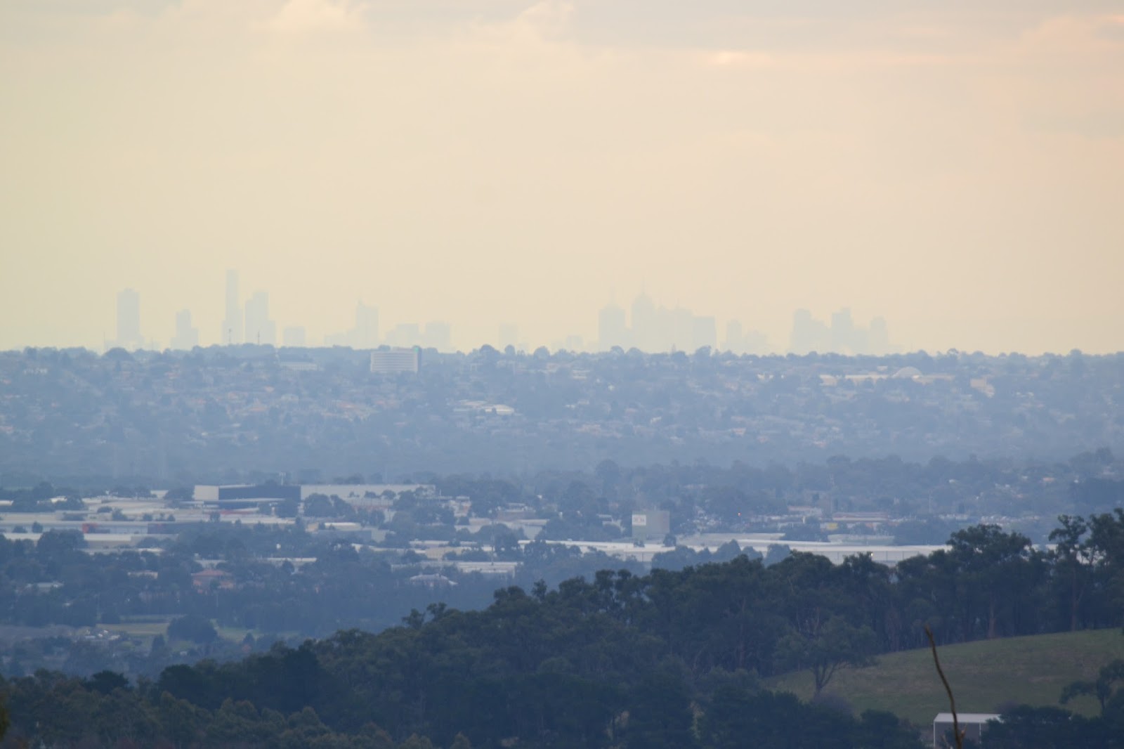
That's the CBD in the distance, I was really struggling with my photos today!
For once I had the right lense on at the right time.
The final descent down Sunset Track was even slipperier than those that had come before but I somehow got down without falling on my arse. All that was left now was to head back through Birds Land past the lakes in the flood retardation basin, this time on the south side.  Sloshing along the sodden track I checked out a side track over a small wetland before taking my last photo of the turgid water in Monbulk Creek, arriving back at the ute a couple of minutes later.
This may have been the Rosella's home.
Late afternoon reflections in one of the man made lakes at Birds Land.
The Dirt.
I used the notes out of John Chapman's Day Walks Melbourne, it's walk number 22 in the book. According to the GPS I walked 11.14 kilometres and climbed 297 metres. This walk isn't scenically stunning or a hardcore physical challenge, but it is a nice place to spend an afternoon rambling around some very pleasant Australian bush. I'd rate this a medium walk. The whole walk follows wide management trails, sometimes gravel and sometimes grass, the only section that isn't on a management trail is the section dropping off Granite Track down to Wellington Road, I ended up following a mountain bike trail, but the open bush and the drone of the traffic make it easy to find your own way down to Wellington Road. Parks Vic have plenty of free stuff online for both Birds Land and Lysterfield.

Not sure what the 'go' is with this boardwalk, its unsighnposted and doesn't appear to go anywhere, but someone has obviously gone to some effort and expense to put it in.

About three minutes from completing the walk and I'm still trying to get a good photo of Monbulk Creek.


Pelion Hut to Mt Ossa return, Overland Track - April 2010

Mt Oakleigh from the Pelion Hut heli pad. I think the mountain just visible in the mist in the distance is Cradle Mountain... ... the flat t...