Sunday, January 22, 2023

Green, Blue & Red Arrow Tracks, Mt Whitfield Conservation Park - May 2022

Nice walking on the Green Track at Mt Whitfield.

The Mt Whitfield Conservation Park is on the outskirts of Cairns and this little park has a lot going for it. The lower slopes of the mountain are home to the Cairns Botanic Gardens and then as you move higher onto the range there are a series of different walking tracks which generally get tougher the higher up you go. I decided to traverse the range today along the Green, then Blue, and finally the Red Arrow Tracks. Somewhat unusually for us on this visit to Cairns Sam dropped me off at the trail head at the end of Bel Air Drive under a bright blue sky this afternoon, we'd certainly had some damp weather on this visit north.

Sam dropped me off in the sunshine today. 

The Mt Whitfield Conservation Park has a good network of tracks.

After leaving the carpark I climbed an old, closed road up onto a ridgeline.

Looking back towards the Cairns CBD from the ridge.
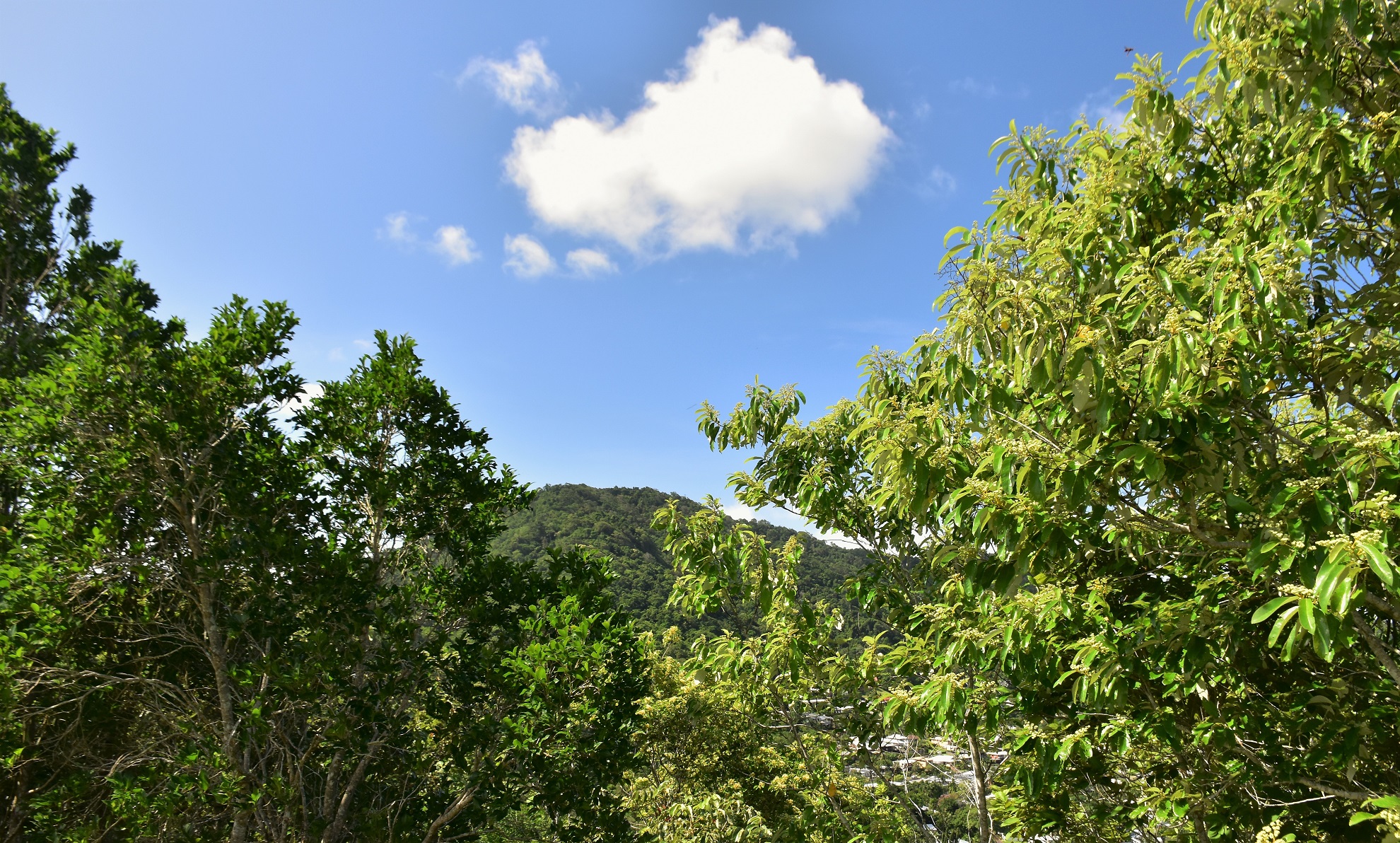
I even got a glimpse of Mt Whitfield through the trees.

So setting off to climb onto the ridge I was soon ringing wet with sweat instead of rain today - at least the photos look better under the blue sky. Initially the Green Arrow Track climbed up an old closed road onto a ridge top (where there are some decent views down towards the Cairns CBD) before entering the Mt Whitfield Conservation Park and being engulfed by the rainforest. The walking track now climbed a long undulating spur all the way to the top of Mt Whitfield. The Green Track is a wonderful walking track, the track builders have created a well graded benched flowing walking track and they need to be commended. After switching from side to side of the sometimes very acute spur I arrived on top of Mt Whitfield after around an hour of great walking.

The Green Track climbs what is sometimes a very acute spur. 

Climbing up the Green Track.

This was the best I could do with this bloke unfortunately.

Green Track.

There were a few glimpses west across the bigger mountains of the Kennedy Range. 

The old communications tower on Mt Whitfield is quickly being claimed by nature. 


At around 350 metres high Mt Whitfield is a fairly substantial hill although there are no views from up here - well unless you count the rainforest as a view. A few minutes after passing across the summit of Mt Whitfield I arrived at the Blue Arrow Track and with the majority of the days climbing now over it was time for afternoon smoko. Suitably fortified after a bit of a break I set off down the southern branch of the Blue Arrow Track and once again I was mostly following the crest of a ridge. A glance at the topo map would have people thinking that the views must be pretty good along here, although at best there were only glimpses through the rainforest canopy - until I got to the lookout (near the start of the Yellow Arrow Track), this lookout gave me a grandstand view down over the Cairns Airport and out over the Coral Sea.
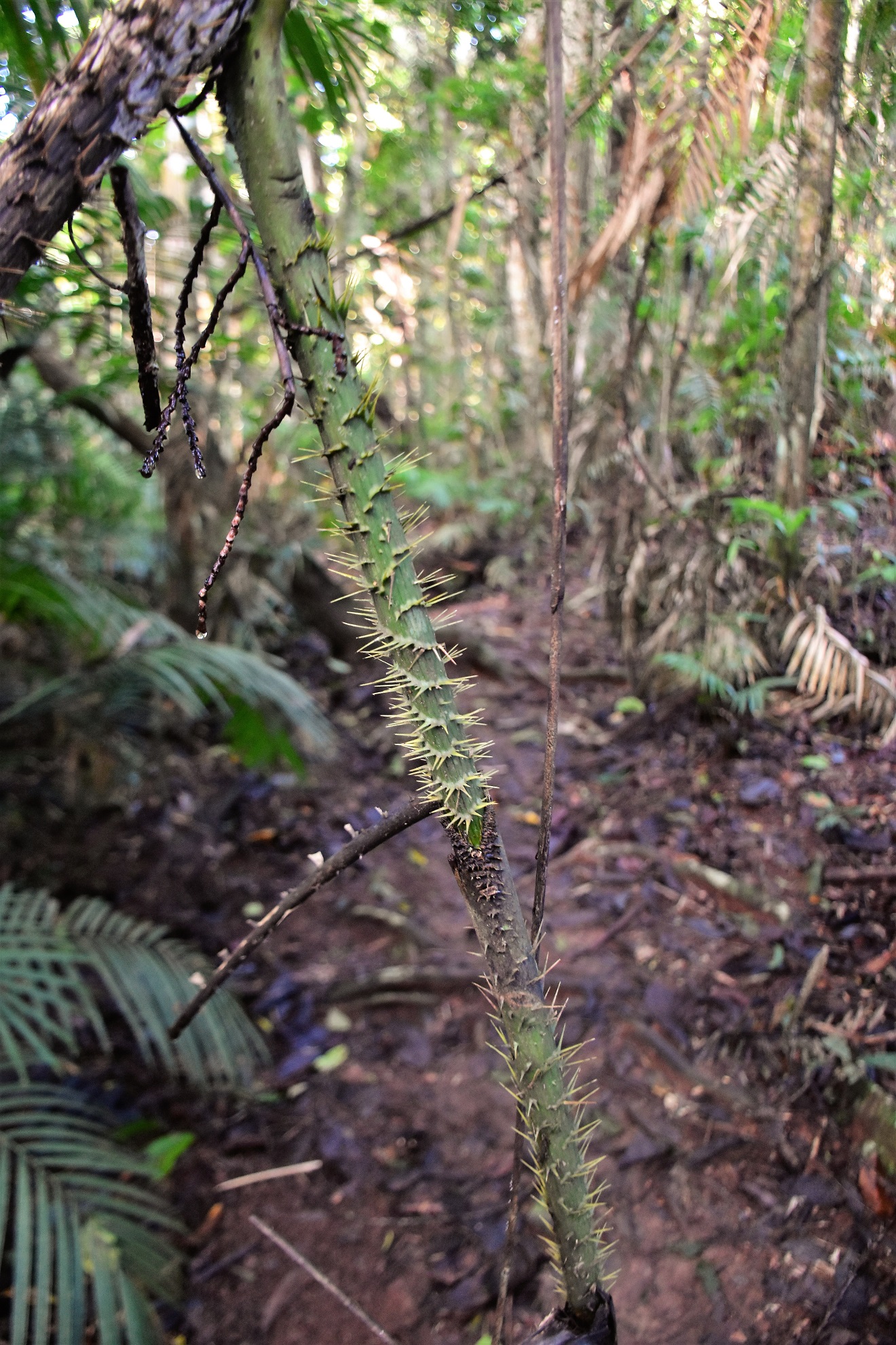
It wouldn't be a walk in the tropics without something that is designed to inflict pain on you!

Dropping down the Blue Track now. 

Nice walking in the late afternoon along the Blue Track.

It would get you out of the rain for awhile I guess, however the views were a little limited!


I was now in the more popular section of the park, and with the sealed tracks and steps came numerous walkers out and about in their active wear... and me, looking like a dishevelled sloth in my sweat soaked bushwalking clothes! Shortly after leaving the lookout I swung right onto the western branch of the Red Arrow Track and started dropping down what felt like 200 steps towards the trail head on Collins Avenue. I'd walked the Red Track a couple of days ago in the rain and this sealed path is a nice little walk if you don't have a lot of time, although I certainly enjoyed it more today in the sun. Around 15 minutes after joining the Red Track I emerged from the bush down on Collins Avenue and my days walk was over.

The view down over the airport from the lookout.

Dropping down the Red Track.

The Red Track was the easiest of the tracks that I walked today although it was still fairly steep.

The Dirt.
According to my GPS I walked around 7.2 kilometres and climbed about 401 metres (Alltrails came in a bit less) on what I'd call an easy-medium grade stroll. This was a really good walk, the tracks in the Mt Whitfield Conservation Park are all well engineered and maintained from what I've seen. This was a fairly long walk so it is important to come prepared with water and anything else you might need - once up on the range there is no easy escape. There are a few walking guide book authors who have written up walks here over the years although I don't think anyone has written it up as I did it. I used my Alltrails App along with my GPS topos this afternoon. 

Relevant Posts.


Finishing off todays little adventure on the Red Track.


Wednesday, January 18, 2023

Cairns Botanic Gardens & Mt Whitfield Red Track - April 2022

It was a melancholy type of day today.

With the weather in Cairns today a little ordinary I spent most of the day hanging around the hotel and checking out the good art gallery in town. By mid afternoon I was ready to brave the showers again so I talked Sam into heading out to the Cairns Botanic Gardens to go for a bit of a stroll. The botanic gardens in Cairns back onto Mt Whitfield on one side and the Centenary Lakes on the other and both spots have been somewhat incorporated into the botanic gardens track network. Sam and I were planning on having a bit of a look at all these area this afternoon, so after grabbing our umbrellas we set off to see what we could see.

We started our walk at the visitor centre.

Initially we checked out a track running along a creek...

... that featured some huge Paperbark Trees.

Initially we checked out the Flecker Garden which features flora from not only North Queensland but also South East Asia, Africa and South America - this section is more your typical botanic gardens and it is also closed up at night so make sure you don't leave it too late if you want to visit. With the rain coming and going it was again a little tough taking photos today, although it was the mozzies feasting on my blood that really put a stop on the photos as anytime I stopped moving for a few seconds I was dive bombed.

Bush Turkey's are everywhere up here.

The Flecker Gardens.

Flecker Gardens

Flecker Gardens

Flecker Gardens

After exploring the Flecker Gardens we crossed Collins Avenue and entered the wetlands section of the park. If I'd thought that the mozzies were bad earlier they were next level now, if was kicking myself for leaving the Bushmans in the ute. Heading deeper into the swamp we followed a very impressive section of boardwalk down to some freshwater lakes where the water level was only just below the track height, sloshing along next to the Water Lilies covered water I couldn't help but think of crocs. After tracking around the lake we arrived at the Zhanjiang friendship garden - yeah, that's all going well!

After crossing Collins Avenue we walked a series of boardwalks through a swampy area.

Zhanjiang Friendship Garden.


From the Chinese Friendship Gardens Sam and I headed along Greenslopes Street for a few more minutes before following Saltwater Creek north back up towards Mt Whitfield (that was sometimes visible through the low cloud). This time I didn't have to wonder about crocs as the local council had installed Saltwater Crocodile warning signs here - yes, this isn't your normal botanic gardens walk. Apart from the Mangrove lined creek there was also saltwater lake along here and it looked just as dodgy as the creek when it came to crocs. Leaving the saltwater area we handed back up towards Collins Avenue, passing by some huge old Paperbark Trees along the way.

This isn't your typical Botanic Gardens stroll!

Saltwater Creek

More huge Paperbark Trees - coming up from Victoria I found the size of these trees pretty amazing.

After crossing Collins Avenue I picked up the Red Arrow Track on the Mt Whitfield Track network (and Sam went back to sit in the ute with the air conditioner on to wait for me). I've walked the Mt Whitfield Tracks year ago and they haven't got any less steep over the preceding decades. The Red Circuit is the easiest of the tracks here, but it still had me sweating up a storm this afternoon as I climbed the seemingly never ending steps. Eventually I arrived at the lookout down over the Cairns airport which also more or less marked the halfway point of this particular section of the stroll. Dropping back down the Red Track wasn't much easier than the climb had been really as the wooden steps were all wet and slick and as I had come prepared in Havaianas I had to be a little careful with the traction! Thankfully I negotiated the descent safely and after a short section back through the Botanic Gardens Visitor Centre I jumped back into the air conditioned sanctuary of the ute, happy to be free of the mozzies at last.

The Red Track on Mt Whitfield is the easiest of the Mt Whitfield tracks I think.

Climbing the Red Track towards the lookout.

I got a bit of a view through the canopy back towards Cairns.

The best view from the Red Track is down over the Cairns Airport.

There was a bit of mist scudding through this saddle.

Dropping back down the Red Track.

I'm not exactly sure what type of bird this is - whatever it was it didn't want to fly.

The Dirt.
According to my GPS we walked around 5.7 kilometres and climbed about 251 metres on this easy stroll - these figures are a fair bit different to my Alltrails App so take your pick - although after having a close look at the Alltrails trace it looks like it stopped recording for awhile. The botanic gardens and the very nice visitor centre are well worth a visit if anyone reading this finds themselves in Cairns I think. The Mt Whitfield Track system is a little harder than the rest of the tracks, a lot of locals use the various circuits as fitness circuits so don't be surprised if most of the other people are clad in active wear and not Havaianas! There is a bit of information online about this area and the Mt Whitfield section has been published by various walking guide book authors over the years. I used my Alltrails App along with my GPS topos this afternoon. 

Relevant Posts.

The walk back to the Botanic Gardens Visitor Centre wasn't without it's attractions.

I'd highly recommend a visit here if anyone finds themselves in Cairns with a couple of hours to spare.


With the rain coming down again it was time to head back to our apartment.


Pelion Hut to Mt Ossa return, Overland Track - April 2010

Mt Oakleigh from the Pelion Hut heli pad. I think the mountain just visible in the mist in the distance is Cradle Mountain... ... the flat t...