You know its not all beer and skittles in the Feral world, every now and again things turn to crap. Today's adventure should be titled Mt Evelyn Forest, another walk from the House of Chapman, but it didn't quite come off. I was pushing poo uphill in a barbed wire canoe from the get go today (you like the mixed metaphor, I'm in that kind of mood). After a morning spent trundling around the suburbs sorting out a few things I headed up to the start of the walk at the overflow carpark for Silvan Reservoir. Now the weather today was officially crap, not crap in a good way like last Saturday up on Mt Baw Baw, no today was typical Melbourne crap, constant cold rain and grey skies, so my mood was also grey and damp before I'd even left the ute.
 |
| Olinda Creek Track. |
After pulling on my wet weather gear in the front seat and swatting up on the first few kilometres of the walk from my notes I safely secured everything except my waterproof camera in dry bags and set off. All was good to start with as I found the start of the track without any drama, however after numerous unmarked intersections I was starting to question myself as to whether I was actually heading in the right direction, now normally I'd break out the map, notes and GPS and all would be clear, but with the rain pissing down I wasn't overly keen to get them out of their dry bags. I'm buggered if I know where I was but I definitely wasn't on the described route, after pushing on for twenty minutes hoping against hope that I was going the correct way I eventually had to admit defeat and retrace back to the last track junction that I was reasonably confident was on my actual route. The good news was that I came across some nice fungi so was able to crawl around in the mud and get a couple of macro shots.
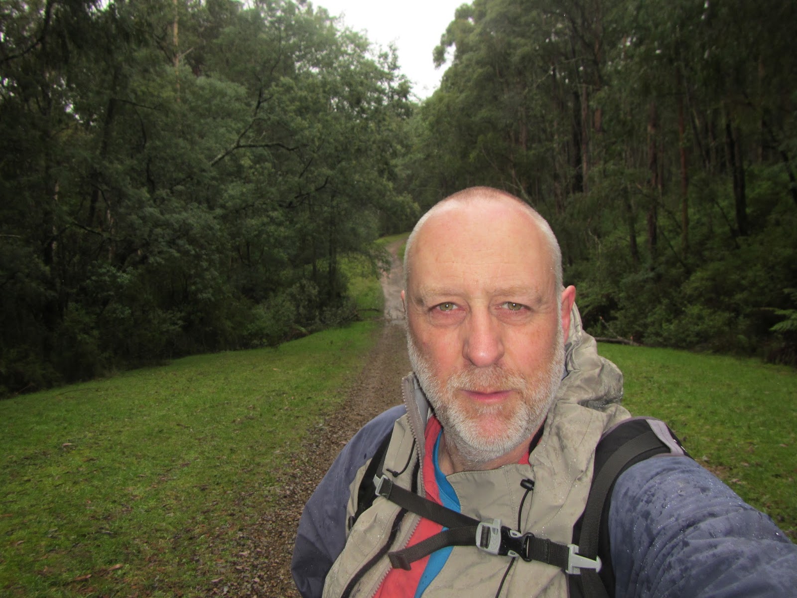
 |
I think this is Olinda Creek Track, only I'm heading in the wrong direction.
 |
At least there was some interesting fungi to crawl around in the mud and get a photo of!
|
|
Reaching the track junction I risked pulling my map and GPS out and had a quick look. Alright maybe this was one of those keep left intersections, so left I went and you know what, even though I was pretty sure I was on the right route now the grey day had sapped all my mojo away. Eventually I reached a spot that I was certain that I was where I was meant to be, but instead of being just over a kilometre into the walk I'd wandered around the bush in the rain for around three kilometres to get here. After looking at my watch and doing a couple of quick calculations I decided to pull the pin on today's planned stroll, at the rate I was going I'd still be walking tomorrow.
 |
Olinda Creek, alright I think I'm back on track.
 |
Now I know I'm back on track.
 |
| I'm lacking a little mojo today in the damp grey conditions. |
|
|
So instead of retracing my outward route I walked back to the ute via Grey Gum Track, a nice easy track that had some more fungi to get down and dirty in the mud with, oh and a deer and kookaburra sighting, so life wasn't all bad. When I saw the outlet pipes for Silvan Reservoir I was finally confident that I knew exactly where I was, and after climbing up the extremely slippery red clay track I was back at the ute, a bit damper than when I'd left an hour or so before but already planning another attempt on the Mt Evelyn Forest Walk, sometimes you've got to recognize that it just isn't meant to be I suppose.
 |
The start of Grey Gum Track.
|
The Dirt.
I actually walked 4.7 kilometres and climbed 120 metres today on all my aimless wandering, all of it within the Melbourne Water Reserve for Silvan Reservoir. Looking at the map it appears that I jigged right when I should of jigged left, there are a few unmarked track junctions that obviously need a bit of concentration. I ended up walking north up a good track on the east side of Olinda Creek when I should of crossed over and been walking north on a fire track on the west side of the creek, oh well such is life. The Grey Gum Track leaves Olinda Creek Track before it crosses over to the west side of Olinda Creek (the signpost is hidden by a fallen tree). According to Mr Chapman the Olinda Creek and Grey Gum Track loop is around 2.1 kilometres, hmmm you can see how far I walked in the wrong direction. Anyway its all good, I'm off to Queensland next weekend to hopefully do a walk with Jane from
Mildly Extreme, and judging by the weather
in SE Queensland this weeekend I reckon we've dodged a bullet there.
 |
|
 |
| This bit of Grey Gum Track was incredibly slippery. |


No comments:
Post a Comment