Ok, I've broken out the scanner and jumped into the feral way back machine again, this retro post will feature one of our first overnight walks in Wilsons Promontory National Park, we'd been to Sealers Cove before but this was our first time around the complete Southern Circuit. Now for any new players you may be thinking that things look a little different on this walk, and I don't mean our apparent fetish for fluro coloured clothes, no the first most obvious difference back then was that the track from the Lighthouse to Waterloo Bay didn't exist, so our side trip to the Lighthouse involved a solid there and back walk up and down the inland fire track. The second obvious difference was that there was a choice of two tracks from Refuge Bay to Sealers Cove, the coastal route is more or less the one that is still in use, but the so called Hill Track that we used on this walk has long gone back to nature unfortunately.
 |
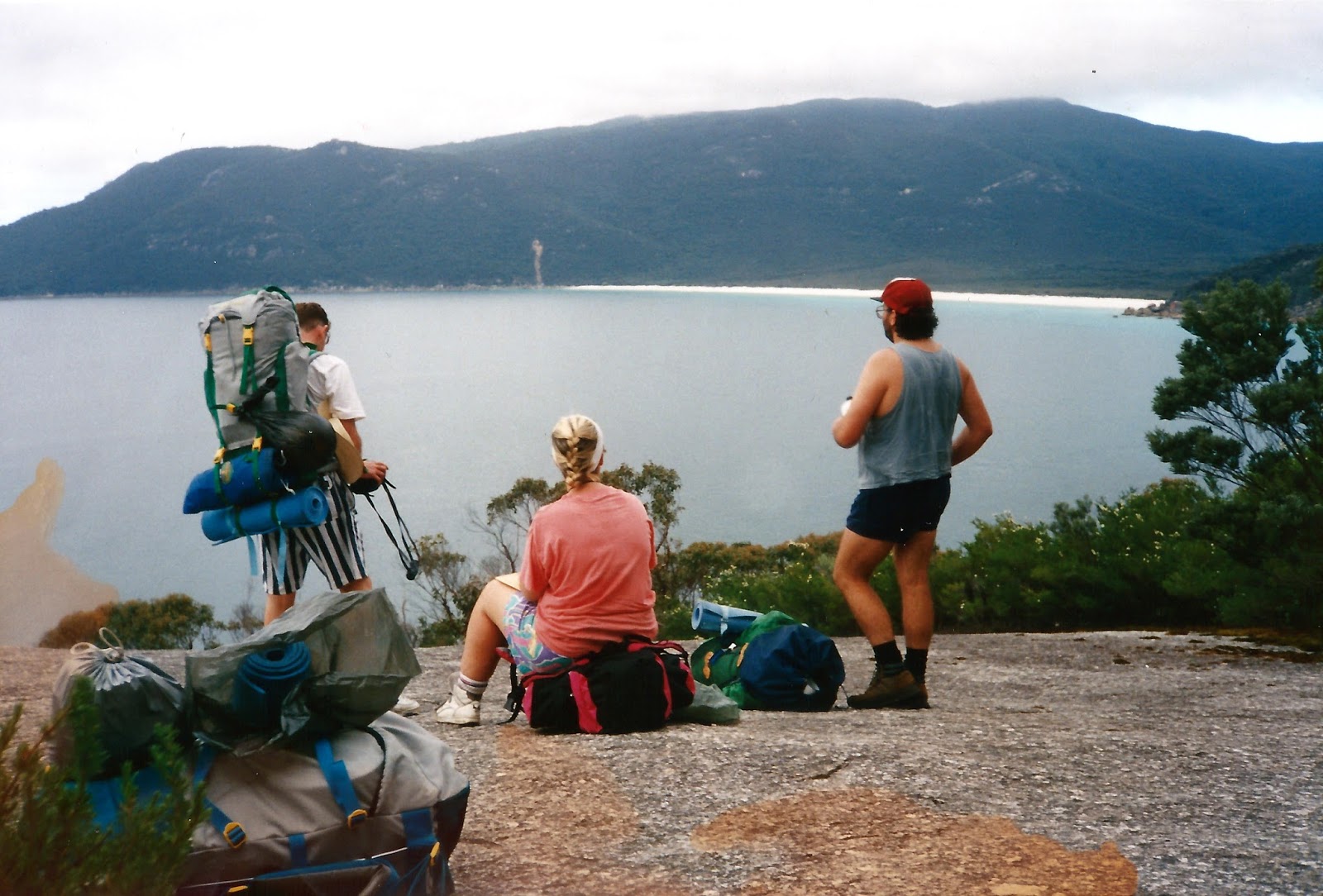
| Oberon Bay Camp. |
Day 1 Oberon Bay 7.6 Kilometres
Now as this walk was done back in the Jurassic Period the post is going to be a little light on with details. I was accompanied on this walk not only by Sam, but by my friends Dave, Haggis, Michael and Lyn. After a bit of a car shuffle day 1 had us walking the easy coastal track from Tidal River around to Oberon Bay Camp. The walk around to Oberon is a very easy scenic coastal stroll, perfect if you have driven down from Melbourne and are setting off a little late. The track seldom ventures very far from the ocean so views were a feature of this short section. The main difference between then and now as far as this section goes is that now there are massive erosion scars in the sides of mountains left over from the big floods of a few years ago, the slopes of Mt Oberon around the beautiful Oberon Bay being particularly scarred. After setting up our tents I remember spending the rest of the warm afternoon down on Oberon Bay doing a bit of beach combing and playing a bit of beach soccer.
 | ||||
The southern end of Oberon Bay is particularly photogenic.
|


Day 2 Waterloo Bay via The Lighthouse. 33 Kilometres. 40.6 Kilometres Total.
Pulling on my high tech basketball sneakers and fluro t-shirt I was up for a hard day today, while the rest of the group went straight over to Little Waterloo Bay for a day relaxing on the beach, Dave and I headed down to the Lighthouse on a side trip. I remember this day as being fairly warm, the heat no doubt excasabated by the hard surfaced and exposed walking down the fire track to the Lighthouse. For some reason that must of made sense at the time, but for which I can't remember now we walked the fire track all the way to Roaring Meg instead of the more scenic walking track. Leaving Roaring Meg we picked up the walking track and continued on to the Lighthouse, my main recollections of this section was of an encounter with a large Tiger Snake on the descent down to the Lighthouse.
 | ||
At Roaring Meg on our side trip to the Lighthouse.
|

After having a drink, a bite to eat and taking the obligatory photo, Dave and I retraced our steps back to Telegraph Junction where we headed off to the east towards Waterloo Bay. The sandy track across to Waterloo Bay was a relief for our tender feet after having already walked so many kilometres on the hard fire track. I'll always remember passing over the last low dune and turquoise water and white sand of Waterloo Bay now right before me, this is a beautiful beach even by our lucky Australian standards. The other guys had set up camp at Little Waterloo Bay and were now basking on the sand at Waterloo Bay, we didn't bother going to camp, just dropped our gear and walked straight into Bass Strait, the frigid water working wonders on our sore feet and tired muscles.
 |
| They are actually Tasmanian Islands behind me I think. |
Day 3 Sealers Cove via The Hill Track. 13 Kilometres. 53.6 Kilometres Total.
Today turned out to be another fairly tough day for us. First up we headed around to North Waterloo Bay, this section of track used to be a bit of a tedious slog through a thick Tea Tree forest, the narrow track twisting and turning its way through the trees, the route then dropped down and followed the rocky coast around to North Waterloo Bay. Now days the good cleared and benched track stays up away from the coast until it eventually descends to the sand. Leaving North Waterloo Bay the current route starts a gentle climb up to a saddle below Mt Kersop from the rocky out crop half way along North Waterloo Bay. Back in the day we had to clamber around the rocks and continue on to the very northern most end of North Waterloo Bay, here we picked up a very eroded track up a steep gully, I remember there was even a bit of fencing wire in place to help pull yourself up. The old track took us virtually straight over the top of Kersop Peak before we dropped steeply down to the beautiful Refuge Cove.
 | ||||
Looking back towards the white sand of Waterloo Bay.
|


Refuge Bay is an idealic place when the suns out and we were blessed today, there were even a couple of yachts rocking gently on the sheltered waters. We had lunch in the camp at Refuge before wandering down to the sand to have a close look at the beach before heading off on our afternoons stroll over to Sealers Cove. Now back in the day we had a choice of routes from Refuge Cove to Sealers Cove, the current coastal track was one choice but there was also an option of the Hill Track. Now the Hill Track was a few metes shorter, and that is the only reason I can think of that we decided to head off up it. Head up it we did, it started climbing immediately up behind the rangers outstation and basically steeply climbed or descended the rest of the way to Sealers Cove, there wasn't a lot of flat ground on this track. The one consolation of walking the Hill Track was of the aerial view down over the stunning Sealers Cove, the crescent of golden sand backed by the verdant greens of the Sealers Swamp. Now with the sand of Sealers Cove about 250 metres directly below us it could only mean one thing, yep a very steep descent, the track down from the tops was easily the steepest track at Wilsons Promontory, we found ourselves scrambling down huge rocky boulders, some of us using the tried and tested bums on ground method.
 | ||||
After lunch there was time to check out Refuge Cove before we set off to Sealers Cove.
|


Day 4 Telegraph Saddle Car Park 10.2 Kilometres. 63.8 Kilometres Total.
After spending a night at Sealers Cove we walked out to the waiting cars at Telegraph Saddle. This section of track hasn't hugely changed since those days (although I haven't been down to Sealers since the big floods). After yesterdays exertions on the Hill Track the climb up to Windy Saddle today took it out of us a little, although we were now back in familiar territory so at least we knew how far we had to go. Arriving back at the cars in the early afternoon we were a group of happy walkers, feeling very proud of ourselves after our first four day walk, as it turned out I was probably hooked.
 |
| Sam doesn't look to impressed with the old long drop at Sealers Cove! |
The Dirt.
This walk would probably be a medium rated walk now. We probably used Tyrone Thomas' notes if we used any at all and we would of used the relevant Vicmap. Unfortunately the Hill Track between Refuge Cove and Sealers Cove has long been closed, over the years I was lucky enough to walk this track around 3 or 4 times before it was closed, this route was hard work and the drop down to Sealers Cove was very steep and slippery but the views down over Sealers Cove were absolutely stunning and for that reason alone its a shame that it isn't an option anymore, I suppose I could go feral off piste but they tend to frown upon that a little down at Wilsons Promontory. Parks Victoria as usual has a lot of free downloads available for the Prom which will give you all the information you need and Chapman, Daly, Tempest etc have all written up walks in the Prom. Here's a link to a walk we did around the the Southern Circuit a few years later and here's another link to a walk to Oberon Bay a couple of years ago.
 |
| Michael, Dave, Haggis and the author, looking fresh on day 1. |


No comments:
Post a Comment