 |
| The Midnight Oil Cottage at Burra is almost a traditional Feral photo stop. |
This post is really just a self indulgent offering, more for my benefit than anything else. Over the years I've done a lot of these trans continental journeys, most of them turning to dust in my ageing memory now, unfortunately. So I decided to try and document this one... well, to some degree anyway. With the main objective of this drive being to cross the country reasonably quickly I was never going to be stopping to take a lot of well composed photos though. Instead of using my DSLR to illustrate this journey I largely relied on my phone camera. The resulting images being enough to jog my memory, although whether they'll interest anyone but close family and friends remains to be seen.
The plan for this journey was to get me from work in Melbourne across to a place called Augusta at the very south west corner of the continent, where I was going to be walking Western Australia's popular Cape to Cape Walking Track. To make things interesting though I was on a fairly tight schedule, I had around two and a half days to complete the almost 4000 kilometre long journey.
 |
| Works finished... time for a road trip. |
So after putting in six hours at work I headed out of Dandenong just before lunch time on a Thursday in early December, programming in tomorrow nights accommodation over at Esperance into the GPS. After escaping the clutches of Melbourne's urban sprawl I pointed the ute north up the Calder Freeway, flicked on the cruise control and settled in for the ride. The shortest way across the country from Melbourne is actually through Adelaide however for just a few kilometres extra I find the journey up through Renmark to be quicker and more enjoyable and that's the way I was heading today. After topping up the ute with fuel at Sea Lake I decided to make the short side trip off he Calder Highway to check out the Lake Tyrrell viewing platform, it was still only 3:30 pm and already I felt a long way away from the thin band of green vegetation along our south eastern coastline.
 |
My first stop on my road trip was at Sea Lake....
 |
...where I checked out Lake Tyrrell.
 |
| It didn't take long for the country to dry out once I was north of the Great Dividing Range. |
|
|
Back in the ute after stretching my legs at Lake Tyrrell I resumed my journey north west along the Calder Highway, passing by walking and 4wd destinations and watching them recede in the rear view mirror. After passing by the Hattah-Kulkyne National Park I arrived at Red Cliffs and turned west off the Calder Highway, heading along the quieter Werrimull Road to avoid the traffic lights and speed restrictions around Mildura. Hitting the Sturt Highway at Cullulleraine I headed west again into the low afternoon sun, passing paddocks turning to red sand with the drought that afflicting the area at the moment. After a short stop at the quarantine station on the South Australian Border I was soon crossing the Murray River at Renmark, in my second state for the day and everything was still going well.
 |
I'm about to cross over into South Australia on the Sturt Highway.
 |
Crossing the Murray River at Renmark it felt like progress was being made.
 |
 |
I wouldn't see flowing water again until... well, until I was virtually at Augusta in a couple of days.
 |
| Progress was still being made. |
|
|
|
|
After once again topping the ute up with fuel at Renmark I continued my journey, soon leaving the Sturt Highway and striking out north west towards Burra, the country now feeling very remote. I've been travelling this country for decades and can easily remember when a lot of these bitumen roads were rough dirt roads, things are a lot easier now days. Just before sunset I pulled off the Barrier Highway for a minute to take a photo of the famous Midnight Oil Cottage and stretch my legs again. It was now time the evening session.
 |
I made a pit stop at Burra to check out the Midnight Oil Cottage.
 |
Burra
 |
| Looking north from Burra. The wind farm on the ridge is the one where the transmission lines blew down in a big storm in South Australia a couple of years ago, causing the conservatives and their lap dog right wing media puppets to blame renewables. |
|
|
Leaving the Barrier Highway just north of Burra I headed west across to the Princess Highway near Crystal Brook, night overtaking day along the way. Heading north along the Princess Highway always tests me a bit, the highway is always busy with road trains and other assorted heavy traffic and the wind always seems to be blowing everything sideways, and tonight was no different. By late evening I pulled into Port Augusta, fuelling up the ute again and making a quick stop at Macca's for some health food for the driver. Port Augusta is a gritty industrial city that is virtually at the cross roads of the continent, trans continental highways and railways radiate out of this city in every direction, however tonight I was only interested in making a mile west along the Eyre Highway. I was starting to flag a little by now, my day had started at 4:30am that morning and with the clock starting to get close to that hour again I was ready for a sleep. After passing through the sleeping Kimba and Wudinna I eventually nosed the ute into the scrub just outside the tiny town of Poochera at 2am, reclining the passenger seat I was asleep within minutes.
 |
Late night at Port Augusta Macca's...time to get going again.
 |
That's it for me for the day.
 |
| It didn't take long to drift off tonight. |
|
|
With the sun just starting to light up the eastern sky I merged from from the ute into the cool morning to stretch my legs....time to head off again. Back in the drivers seat again I pointed the ute towards Ceduna, cruising along as the country changed colour around me. After fuelling the ute and myself in Ceduna it was time to head out across the Nullarbor. The drive across the Nullarbor is sometimes talked about in almost mythical terms in Australia however to be honest the drive is very easy, safe and surprisingly interesting, while it was tough drive before the Eyre Highway was sealed, now days the only time I have to back off is when I want to stop to check out another point of interest.
 |
Climbing out of the ute to stretch my legs and scratch my balls... it was time to head off again.
 |
Just over 1500 kilometres to go before a decent shower and bed in Esperance tonight... all good then!
 |
Heading west towards Ceduna on the Eyre Highway through the wheat country, at least the sun was behind me.
 |
Leaving Ceduna, fuelled up and on my way again.
 |
| Heading across the Nullarbor Plain. |
|
|
|
|
By late morning I was at the best of the lookouts. Between the Nullarbor Roadhouse and Border Village there is a series of short detours off the highway to check out the stunning views of the Great Australian Bight, even though I was in a bit of a hurry today they are worth stopping at to check out and stretch my legs again. Back in the ute after fuelling up again at Eucla I dropped down Eucla Pass onto the Hampton Tablelands, the Eyre Highway stretching away into the distance. Adjusting my clock back 2.5 hours now I was into Western Australia I suddenly had a bit more time in my day, although apart from a quick stop at the top of Madura Pass to take a photo and then a little later at Balladonia for another pit stop, I kept motoring west. Arriving at the very warm Norseman I turned the ute south along the Esperance Highway, a little over two hours later and I was showered and had my feet up in bed in Esperance, ahhh!
 |
The Great Australian Bight.
 |
There's a Norwegian company that is currently fighting to drill for oil in these remote and pristine waters... yeah what could possibly go fucken' wrong.
 |
Things were a lot rougher back in the day across here.
 |
When I first crossed the Nullarbor many decades ago this was a rough dirt road.
 |
Looking west towards the dunes near Eucla.
 |
I've just put the clock back 2.5 hours.
 |
The Eyre Highway at Eucla Pass.
 |
I've just climbed up Madura Pass.
 |
Two more hours to go... for today. It's getting warm now.
 |
| Showered, fed, feet up and watching the cricket at Esperance... life was pretty good really. |
|
|
|
|
|
|
|
|
|
Waking next morning things were a little more relaxed as I didn't have too far to go today, although a 700 kilometre drive is still nothing to sneeze at. With a few bush fires burning in the Western Australian wheat country I was closely monitoring ABC local radio today, there were no fires on my direct route although things could change quickly as the day was going to be stinking hot and the wind was howling. Rather than following the South Coast Highway towards Albany I cut through the middle of the dry wheat country through Katanning and then Bridgetown before heading onto Augusta. Arriving at Augusta in the late afternoon on Saturday my 2.5 day trans continental road trip was over, after unloading the ute at the hotel I drove the last few kilometres down to the Cape Leeuwin Lighthouse, I couldn't drive any further to the south west without heading into the ocean.
 |
Esperance Bay across the road from the hotel.
 |
When in Esperance the Feral traveller chooses to stay at the Comfort Inn.
 |
It was fairly relaxed start today.
 |
| The day warmed up though, particularly as I headed inland away from the coast. |
|
|
|
The Dirt.
This is a big drive, I covered around 3,700 kilometres in two and a half days. Now while the distance is extreme the driving isn't. The roads and highways that I used are all pretty good and in most cases fairly lightly trafficked, the longest stretch without services was just under 200 kilometres (although stopping for fuel after-hours requires a bit of fore thought sometimes). The good news heading from east to west in summer is that I also gained 3 hours along the journey as I crossed time zones, that makes a fair difference if you are doing the drive quickly.
Relevant Posts.
 |
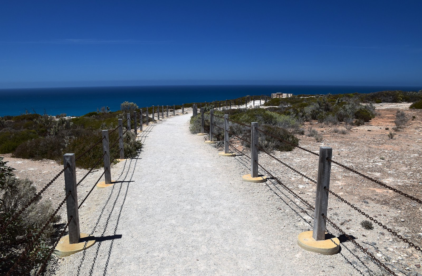
| Cape Leeuwin, any further south west and I'd be in the ocean. |
 |
| My next adventure would start tomorrow, a seven day stroll down this coastline on the Cape to Cape Walk. |


No comments:
Post a Comment