 |
The steep slopes of Mt Buninyong.
|
Buninyong is an old gold mining town a little to the south of Ballarat, although nowadays I’d really say it’s more of an outer suburb of the sprawling Ballarat than a separate town I guess. Apart from it’s gold mining heritage Buninyong is also known for it’s mountain, the 745 metre Mt Buninyong looming over the town. For the lycra clad road bike fanatic Buninyong also hosts numerous bicycle events each year, including the Road Cycling National Championships. For the walker though Mt Buninyong also marks the start (or end) of the long distance Great Dividing Range Track (well the Eureka Track part of it) that heads up to Bendigo.
 |
I started (and finished) this stroll next to the sculpture at the corner of Werrenheip Street and the Midland Highway.
|
The main reason I was here on this fairly grey and underwhelming September morning was that Sam wanted to check out an exhibition at the Art Gallery of Ballarat. So I decided to tag along and go for a stroll while Sam got her cultural fix. So anyway, after Sam disappeared in the ute back in the direction of Ballarat, I scratched my head for awhile while I worked out which direction I was meant to be walking to escape town and then shuffled off. My walk today was a biggish loop out of town, over the mountain and then back into town via a different road, so on setting off I had a bit of town walking in front of me. Being an old gold mining town there are quite a few historic buildings in town and meandering my way out of town today I shuffled past quite a few of them including the old town hall, the Uniting Church, the Catholic Church and and old bluestone brewery building, these old buildings all dating back to the mid 1800’s. After passing through the Buninyong Botanic Gardens and then half way around a tiny reservoir called The Gong, my route finally started heading a little more directly towards Mt Buninyong.
 |
The Buninyong Town Hall.
 |
Buninyong Uniting Church.
 |
I followed these GDT markers on and off over the walk.
 |
Buninyong Botanic Gardens.
 |
The Gong Reservoir.
 |
The historic brewery is private property nowadays - you can look from the outside though.
|
|
|
|
|
|
I was partly following the GDT route out of town this morning and partly following some of Tyrone Thomas’ old notes and mud maps, however to be honest I was just making it up as I went along sometimes. Leaving town I followed a series of quiet lanes and easements for awhile, my route seeming to climb over every hill in the area as I slowly inched my way towards Mt Buninyong. Apart from the bucolic rural scenery the main interest along here is the number of dry stone walls that I walked past, being in Victoria’s volcanic western district there was obviously no shortage of rocks around when the European settlers built these walls.
 |
The old volcanic dry stone walls were a feature of this walk.
 |
Mt Buninyong was slowly getting closer as I weaved my way out of town.
 |
Have I mentioned the dry stone walls?
 |
The rural land was looking nice and green at the end of winter although most of the dams were worryingly low.
 |
He was keeping a close eye on the Feral interloper.
|
|
|
|
|
After a short stretch east beside the Midland Highway I headed along the very quiet Granny White Lane, contouring the western slopes of Mt Buninyong while walking passed a succession of posh country houses. Judging by some of the very flash real estate that I ambled past today it appears that Buninyong has been well and truly gentrified! Eventually I arrived at Blackberry Lane and started to climb a little bit more seriously towards the summit, first up a quiet road and then onto a walking track. Up until now the day had been a little grey and underwhelming mostly, however around now the sun came out and would more or less stay out for the rest of the day which helped my photos a bit.
 |
| The bucolic rural scenery continued as I shuffled along Granny White Lane. |
 |
The solid climb up Blackberry Lane wasn't without it's charms.
|
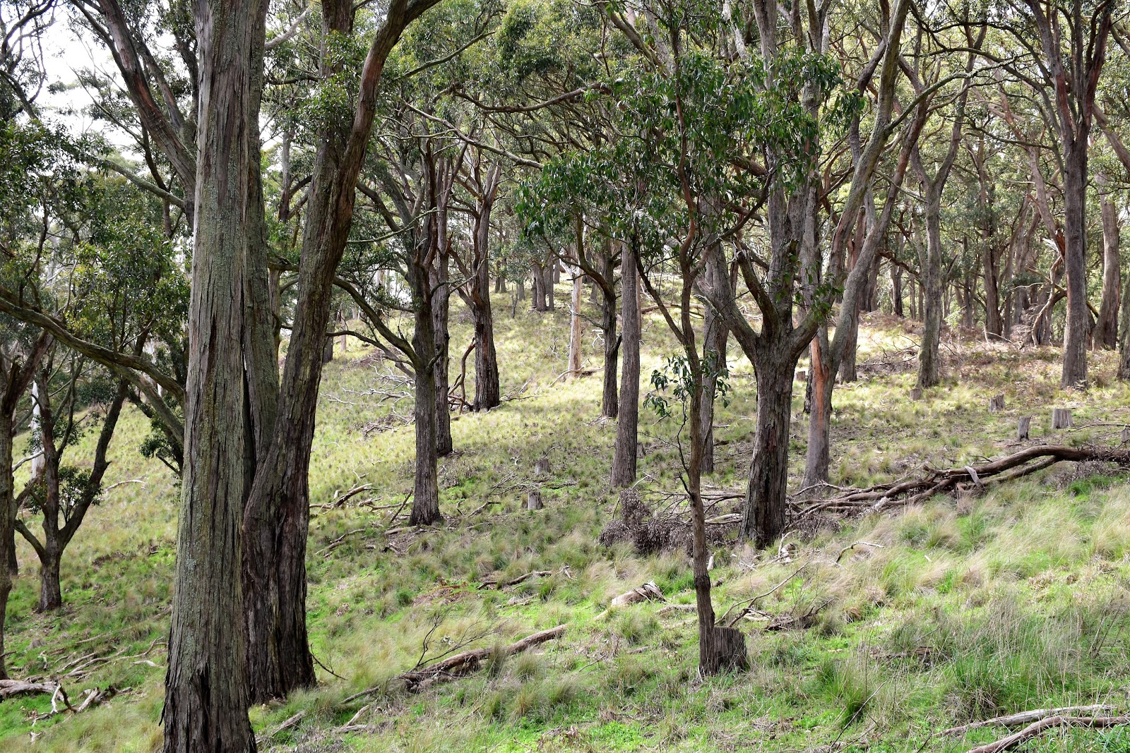
Soon after starting my climb up the walking track the track divided, the quicker easier route being along the GDT however I decided to take the track to the right, the South Walk. This walking track basically circumnavigated the mountain, the pad cut into the steep slopes (Mt Buninyong is an old volcano). The South Walk might of been a slightly harder and longer way to the summit but it was a pretty good walk, the track offering many views south across rolling green paddocks. Eventually the South Walk climbed very steeply (I’m not convinced that I was actually on the South Walk at this point actually, this section was very steep and slippery), crossed the Mt Buninyong access road and arrived at the deserted picnic area on the summit. The summit of Mt Buninyong is well covered with trees so the views are a little restricted from the picnic area however there is a lookout tower nearby which allows for long ranging views to the south and east.
 |
The Mt Buninyong State Park.
 |
South Walk.
 |
There are some nice long range views from the South Walk.

|
 |
The Mt Buninyong Lookout Tower.
 |
There are some nice views to the east from Mt Buninyong Lookout.
 |
The views across the rural land to the south were pretty sweet as well (well, unless you are a conservative politician!).
|
|
|
|
|
|
|
After kicking back on the summit for awhile it was time to shoulder my pack again and set off back to town. I now dropped down the GDT for ten minutes or so, crossing the access road before arriving at an old crater. The crater marked the spot that I veered away from the GDT again, I now dropped down to nice grassy picnic area which more or less signified the spot where I left the Mt Buninyong Reserve and entered the rural land again.
 |
I dropped down the GDT track.
 |
Dropping off Mt Buninyong I was pretty happy with life.
 |
Soon after crossing the access road....
 |
....I arrived at this old crater and headed right away from the GDT again.
 |
...and arrived at this picnic area on the edge of the park which is the home of the Mt Buninyong Humpy.
|
|
|
|
|
To be brutally honest my walk back to meet Sam in Buninyong was a fairly average one, to make the walk into a circuit I walked a series of quiet roads. These roads made for pleasant and fairly straightforward walking but I was struggling a little to find a lot to take photos of (I even resorted to taking photos of dams a couple of times). After following the substantial Mt Buninyong Road and then the lesser Gittings Lane I once again arrived at the outskirts of Buninyong. Once in town I continued zig zagging my back to meet Sam, crossing the major Warrenheip Street I dropped down to the tiny Buninyong Creek and picked up the shared path (and GDT again), following it most of the way back to the centre of town.
 |
I was taking photos of dams now!
 |
Although you've gotta admit the infinity dam looked pretty good.
 |
Gittings Lane
|
|
|
The Dirt.
According to my GPS I walked 12.9 kilometres and climbed 426 metres or this medium grade walk today. As you can probably guess by my write up this isn’t one of those walks that smacks you in the back of the head and says 'why haven’t you been here before?’ Buninyong has a good selection of cafés so an option might be to start up at the summit and have lunch down in town. I very loosely followed an old set of Tyrone Thomas’ old notes on this walk, making up the rest with the help on my GPS topo maps as I went.
Relevant Posts.
Mt Beckworth, Mt Beckworth Scenic Reserve, 2018.
Enfield Forest, Enfield State Park, 2016.
Lal Lal Forest Walk, 2015.
 |
| The shared path alongside Buninyong Creek. |
 |
| The quiet leafy streets of Buninyong. |
 |
| I followed the path to the left on the other side of the bridge to the centre of town. |


No comments:
Post a Comment