
The Darling River in Kinchega National Park.

Crossing over into the badlands as we left Mildura... there was no turning back now!

With the Pooncarrie Road closed due to flooding we entered Kinchega National Park the back way.

It was only us and the wildlife out here today.
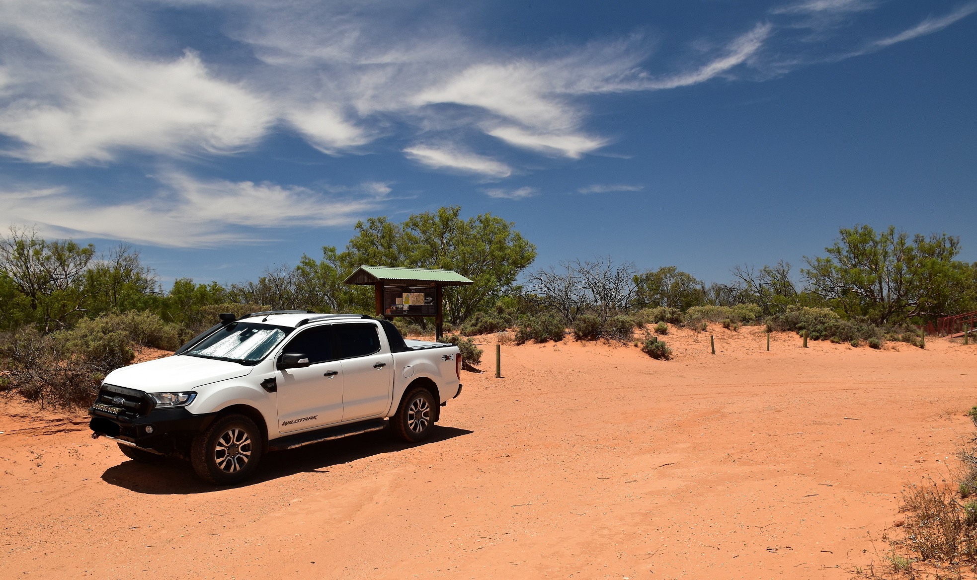
Having never actually been into Kinchega National Park before it took a bit of detective work to locate the trailhead.

Homestead Billabong, Kinchega National Park.

There is a fair bit of indigenous history up here - this is an old scar tree.

The track was well marked with these marker posts at the appropriate spots.

Kinchega National Park.

I could really use a telephoto lens when I'm trying to take photos of birds.
The reason for the middens here is the Homestead Billabong, the billabong must of supplied a plentiful supply of bush tucker back in the day judging by the amount shells littering the ground. This walk basically circumnavigates the outer edge of the billabong for the length of the stroll, touching the Darling River at its furthest point. As I've already mentioned there is a fair bit of diversity on this stroll, the walk passing from the red sand country nearer the homestead the white clay floodplains near the Darling River.

Aboriginal Midden

As we shuffled our way closer to the Darling River the red sand started to give way to...

... white clay floodplains.

Our track passing through some Lignum scrub.

The bigger Red Gums signalled our imminent arrival at the Darling River.

The Darling River at Kinchega National Park.

These Red Gums are large... thankfully Sam managed to get an extra fat walker in this shot for a bit of perspective!

The Darling River at Kinchega National Park.
After checking out the view from water level Sam and I set off heading back towards the ute. Like the outward walk our stroll back featured some flood plain country before reaching the red sand again. While today was unseasonable cool for summer we were blessed to be walking beneath mostly bright blue skies and the contrast between the blue sky, the red and while coloured earth and the green foliage made for some nice photos, well I thought so anyway!

Heading back towards the ute into the drier country away from the river.

Kinchega Homestead Billabong Walking Track.

Kinchega National Park.

We passed by an old cemetery on the way back to the homestead site.

I'm not exactly sure what this is? ... it was a little off the walking track a couple of hundred metres or so from the old homestead site.
Arriving back at the Kinchega Homestead Site we completed our little loop by walking the impressive boardwalk around the homestead ruin. Judging by the amount of tin and bricks scattered around I'm thinking that the steel board walk is more to protect the punters than for any environmental concerns, yes disturbing a brown snake sleeping under a warm piece of tin would of been a distinct possibility without the board walk. The one negative with this steel boardwalk was that it meant that taking photos at the old ruins without having the huge red steel structure photo bombing the shots was a little challenging.

Arriving back at the old Kinchega Homestead I dropped down to check out the Kinchega Homestead Billabong.

Kinchega Homestead Billabong.

There is a very flash metal boardwalk that takes walkers around the old homestead site.

This is pretty much all that remains standing at the Kinchega Homestead site.

It seems to me that almost everyone of these historic homesteads must of planted a Date Palm.
The Dirt.
According to my GPS we walked around 2.6 kilometres and climbed around 3 metres on this easy stroll. Now I'd normally say that this would be a good walk to break up a long drive to destinations further afield however this walk is further afield - yes, it takes fair effort to access this place. The track itself is well marked and cleared although it's a little soft under foot in spots, there are also sections the walk that are very exposed so summer isn't an ideal time to do this walk normally (yeah, do as I say not as I do;). This was the first time that Sam and I had ever been to Kinchega National Park and it looks like the main attraction here is probably the great camping along the banks of the Darling River, opportunities for walking were pretty limited although the opportunities for an off track epic could be worth looking into... one day. I used the NSW National Parks map and notes along with my GPS topos for this walk - as far as I know there are no published walking notes for the stroll.
Relevant Posts.

The view as the sun went down from our comfortable digs outside Broken Hill tonight after what had been a very enjoyable day of driving / walking.


No comments:
Post a Comment