
Darnley Track, Pines Flora & Fauna Reserve.

Alright, it's time for another mid winter Corona Walk.
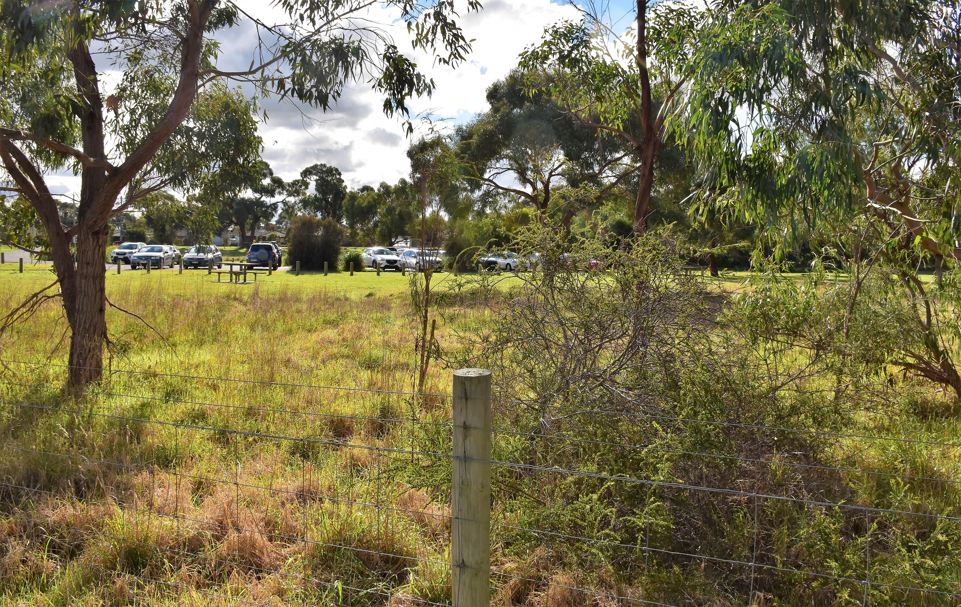
Parking in the small car park off Ballarto Road I locked the ute, re-set the GPS, pulled on my mask and set off to explore this small park... again. Yes, I've been here before, although this morning I picked a different segment of the park to explore. This morning I was heading towards the western end of the park to explore a little. I was once again using a basic map that I'd printed of Alltrails for this walk (I'm too tight to pay for the membership that allows you to navigate using your phone) so I was once again expecting to be freelancing a bit when it came to navigation. Things started off OK as I picked up Riparian Track almost as soon as I'd entered the park and set off up stream near the south bank of Boggy Creek, although after all of 30 metres I'd already found myself making things up when I missed the grassy break that I was meant to be following (Alltrails have no scale on their free maps however they do put in distances between intersections, I foolishly assumed 0.3 meant 300 metres when in reality it means 30 metres...hmmm).

As soon as I entered the park I veered left along this grassy track.

Riparian Track.
With Boggy Creek to guide me I continued on and was soon enough back on my intended route. After a few minutes Riparian Track intersected with School Track and I set off to skirt the boundary fence of the Flinders Christian Community Collage before eventually joining Park Track as the suburban houses of Skye came into view. While the walk around the perimeter of the school and along Park Track was a little underwhelming things now improved a fair bit as I picked up Darnley Track as it headed south into the park, this sandy track first passed through some fairly swampy ground that had obviously been burnt in the last few years before climbing over a series of low dunes.

Darnley Track.

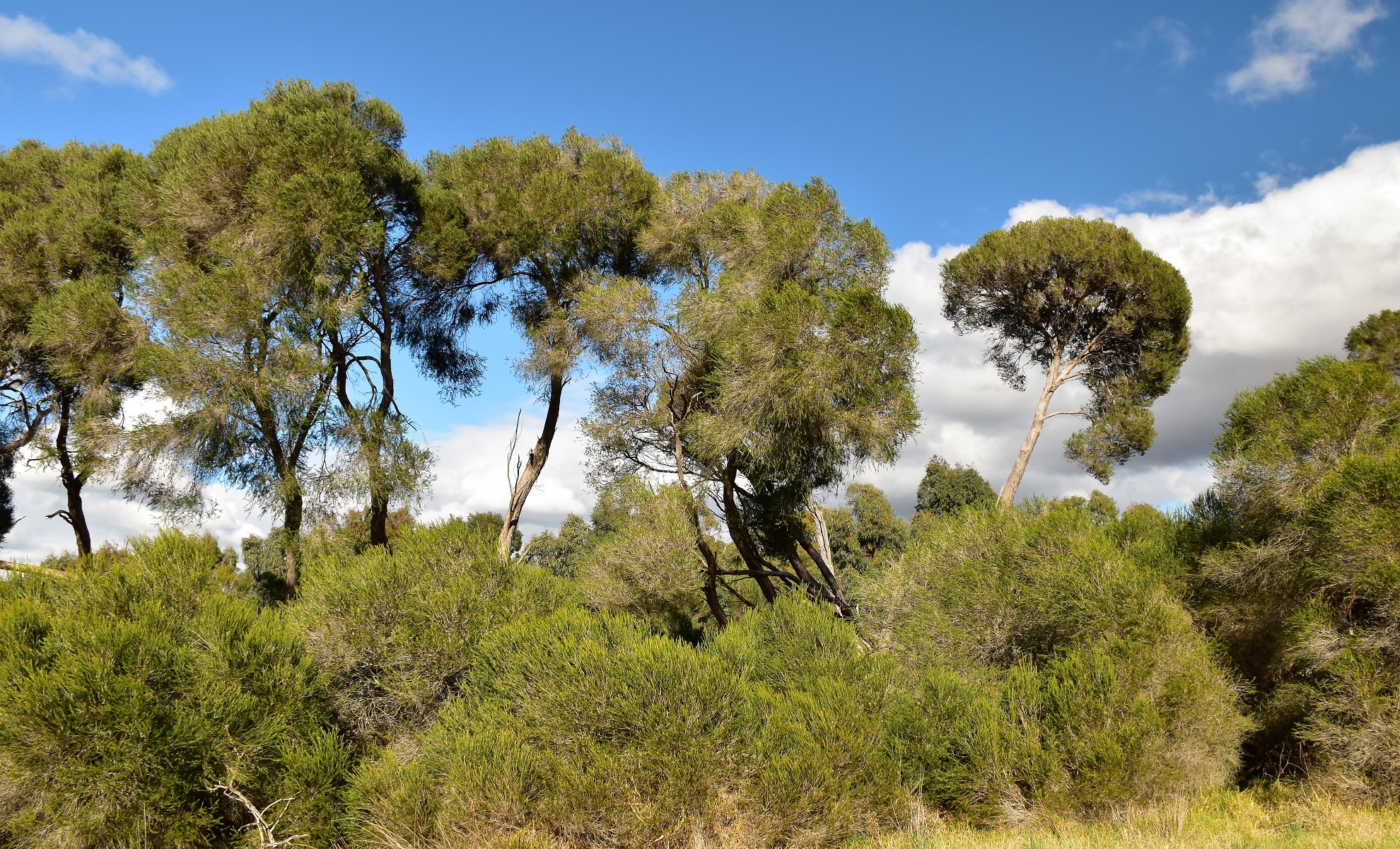
The birds seem to really like this open heathland.


Darnley Track.

Darnley Track climbs over some low dunes.
Arriving at Darnley Break I pulled out my map and once again realised that I was slightly off course, hmm, although after a bit of a think and a look at my GPS I figured that with a bit more improvisation I could once more get back on track again. So I now set off north still following Darnley Track, although I was now completing the Darnely Circuit in the reverse direction to the notes on Alltrails. After getting some views across towards the Dandenong Ranges from the top of the highest dune Darnley Track looped round and I found myself back on ground that I'd walked twenty minutes ago, although this time instead of keeping on following Darnley Track around in circles I dropped down a link track to meet up with Boggy Creek Track.

Darnley Track heading towards Darnley Break.

Open heathland in the Pines Flora & Fauna Reserve.

For a mid winters day the weather wasn't too bad really.

I got some glimpses across to the Dandenong Ranges from Darnley Track.

Pines Flora & Fauna Reserve.

Dropping down into the Boggy Creek Gully.
Turning left onto Boggy Track the walking was easy as I made my way up towards McClellend Drive where I almost doubled back on myself and started following Boggy Creek downstream. Things got a little vague now as I initially followed a freshly bulldozed scar until I arrived at a big fallen tree that seemingly blocked any forward progress. Reaching the fallen tree I was struggling to pick much of a track heading into the scrub however my map clearly implied that this was the correct route. After clambering over the tree (and avoiding a Bee Hive!) I continued on downstream, now pushing through reeds and bracken across some fairly swampy ground. Just when I was about to abandon this section of the walk and cut across to re-join Boggy Creek Track a decent walking pad started to appear and all was good again.

The track along Boggy Creek started off fairly rough.

There was some reeds and bracken to push through.

The further I went down Boggy Creek the better the track became.

Easy walking alongside Boggy Creek.

Boggy Creek had a reasonable flow of water coming down it today.

After passing through the Paperbarks I emerged on School Break again.
I was now on the last section of this mornings big adventure as I shuffled along the School Break although instead of following Riparian Track back to the ute I continued along the now grassy School Break. I was now walking the route that I was meant to have walked on my way out this morning, the grassy track made for a damp but fairly cruisey walk. After re-joining my outward route I passed through the gate and saved my GPS route, before climbing into the ute and heading home for some more quality isolation time reasonably content that I'd found somewhere new to enjoy on my two hours of outdoor time.

Pines Flora & Fauna Reserve.

Damp but fairly easy walking along School Break to finish my stroll.
The Dirt.
I walked around 4.6 kilometres and climbed about 81 metres on this easy walk. The Pines Flora & Fauna Reserve is an area of remnant heathland and is a bit of an island of nature surrounded by increasing urban development. The park has a lot of (generally) well signposted tracks criss crossing it, although the map and notes on the free version of AllTrails that I was using didn't have track names on it. Most of the tracks that I followed today were old and sandy 4wd tracks although the one exception to that rule was the rough pad downstream alongside Boggy Creek. The Boggy Creek Track starts of very vague indeed and after climbing over a fallen tree it looked like it had disappeared completely, although after pushing into some reeds the pad appeared again and from there on it got more and more obvious - if this rough pad looks too daunting just follow the nearby Boggy Creek Track (4wd track) that parallels the walking pad. I also used my GPS topes today.
Relevant Posts.
Pines Flora & Fauna Reserve.
Time to head home for some more quality lockdown time!


No comments:
Post a Comment