
The view from Cleft Peak.
It was a cold old night however the day dawned fine and clear, still it was with some frigid digits that I cooked breakfast and packed up my tent this morning. The plan for today was to climb Cleft Peak as a side trip and then drop down into the south branch of Italowie Creek and camp wherever I found some water. The walk to the west along Wildflower Creek started off very easily, the valley was wide enough to walk along the flats beside the creek however it wasn't long before the sides of the valley started to close in and I found myself scrambling up the creek bed. Around an hour after leaving camp I found myself scrambling up a big scree slope, I had to traverse left and right a few times but I soon climbed into a saddle on the main climbing ridge to Cleft Peak.

I got off to a fairly early start today.

Climbing out of Wildflower Creek.

That's Cleft Peak in front of me.

The route up Cleft Peak was fairly steep and loose.
From the saddle on the ridge I had views of Wildflower Creek on one side of the watershed, and the South Branch Italowie Creek on the other side. I could also see a creek that looked like it led pretty well straight to the south branch of Italowie Creek. First things first though, I grabbed my daypack and some water and munchies, and then headed off up the ridge to my south. The ridge provided a fairly straight forward route to the summit of Cleft Peak, it also provided magnificent views the whole way to the top with the weather now being perfect. Less than an hour after leaving the saddle I found myself scambling onto the summit of Cleft Peak, from the top I could see Mt John Roberts to the east and to the west Mt Changeweather and Mt McKinlay. The top of Cleft Peak was actually relatively flat, there was even a couple of spots where it would be possible to camp I think, although it would be a hard scramble carrying water and all your gear to the top. I spent awhile ambling around the top taking in the different views this morning, the view into Cleft Creek Gorge was particularly spectacular as it dropped vertically down hundreds of metres to meet Wildflower Creek.

The summit of Cleft Park is actually a fairly level area... you could probably find a small spot for tent up here.

The flanks of Cleft Park are anything but level though.

Looking back from Cleft Peak towards my first nights camp on Mt John Roberts.

Mt McKinlay from Cleft Peak.

Wortupa Pound and Red Hill from Cleft Peak - I'd be walking across the pound tomorrow.

Yet another stunning Cleft Peak view.
Eventually I decided that I'd taken enough photos so I headed over to the cairn and dug out the log book, spending a pleasant hour reading about the adventures of those who had come before me. All to soon it was time to head back down to my pack though and once again after finding the steep descent route I was on my way. The descent was actually trickier than the climb due to a combination of the steep grade and the loose rock, I lost track of the number of times that I'd slip and go to steady myself with a hand full of grass tree only to painfully realise that I'd grabbed a hand full of Spinifex...fuck!... Now I'd be spending the next month picking Spinifex prickles out of my hands - one of the joys of off piste walking in Australia's deserts.

A native pine clinging to the side of Cleft Peak.

Looking across to the Blue Range from Cleft Peak.

Looking down towards Cleft Creek.

Looking across Cleft Creek on my descent off Cleft Peak.

It was a steep and loose climb / descent.

Although maybe not quite this steep... but you get the idea.

Crossing the high saddle above Cleft Creek... I've heard that some parties climb Cleft Peak using Cleft Creek as their route.

There is no shortage of native wildlife up here.

One last look back at Cleft Peak - it all looks pretty easy from down here!
Once I got to the South Branch Italowie Creek, I dropped my pack and took a walk upstream as far as The Bathtub, a narrow gorge with a depression in it. The scenery in Italowie Creek grew more spectacular the further up stream I went and I made a mental note to come back and explore some more when I had more time. Now I was forced to return to my pack and start to make some tracks back in the direction of the ute. The walking downstream on South Branch Italowie Creek was very pleasant, I found myself taking the path of least resistance alternating between the creek bed and the fairly open banks. I planned to camp near the first available water assuming that I found some, as I was pretty sure I wouldn't find too much more water for the rest of the walk. As I approached Junction Creek I took to the creek bed under the huge red cliffs hoping to find some water where the creek flowed around a bend at the base of the cliffs, and bugger me there was a pool of crystal clear water. To make things even better there was a large flat area on the other side of the creek which looked like it would be an ideal place to camp.

South Branch Italowie Creek

South Branch Italowie Creek - the creek bed made for reasonably easy walking.

Late afternoon down in South Branch Italowie Creek.

South Branch Italowie Creek, Vulkatunha~Gammon Ranges National Park.
I set up the tent on a nice soft piece of dirt while across the creek the cliffs towered above me, on my side of the creek there was a rocky bluff with a cave that would have been good to climb if I had a little more energy. Once camp was organised I walked down to where Junction Creek entered Italowie Creek, the creeks are both 50 to 100 metres wide, they must make an awesome sight when they flow although this happens very infrequently I'm thinking. With lots of dead wood around and seeing it was my last night I decided to have a fire, so the evening was spent sitting by the fire, eating and drinking the last of my supplies, content in the knowledge that I had a reasonably easy walk out tomorrow. The Mushroom Risotto was pretty ordinary tonight however the freeze dried Strawberry Ice Cream made up for it, life's good. All too soon it was time to retire to the tent, where I settled in for some more reading before drifting off to sleep with the sound of dingoes howling in the distance.

I'm thinking that this is the spot where Junction Creek joins South Branch Italowie Creek.

I found a nice spot in the native pines to camp.

This rocky talus near camp would of been a nice climb... if I wasn't so tired!
The Dirt.
I walked around 11 kilometres and climbed around 600 metres on today's hard stroll. Over the 3 days of my Gammon adventure so far I've walked around 28.5 kilometres and climbed around 1460 metres. Today was another day of totally off track walking so navigation was a bit of an issue, particularly picking the correct branches of Wildflower Creek to follow as I neared its headwaters. Once again today there was also a fair bit of scrambling involved and a fair bit of it was pretty loose. I got water just before reaching South Branch Italowie Creek and then down near Junction Creek. Once walking the South Branch Italowie Creek there were a few camping options heading south although I think I might of got the best spot near Junction Creek. I used notes from the House of Chapmans book Bushwalking in Australia along with the Landsmap 1:50,000 Illinawortina map.
Relevant Posts.

My Junction Creek Camp.

Now here's something you don't see much of in a Feral blog. I actually love sitting around an open fire however in a lot of our more populated areas I think that the environmental damage caused if everyone decided to have a camp fire outweigh the enjoyment.
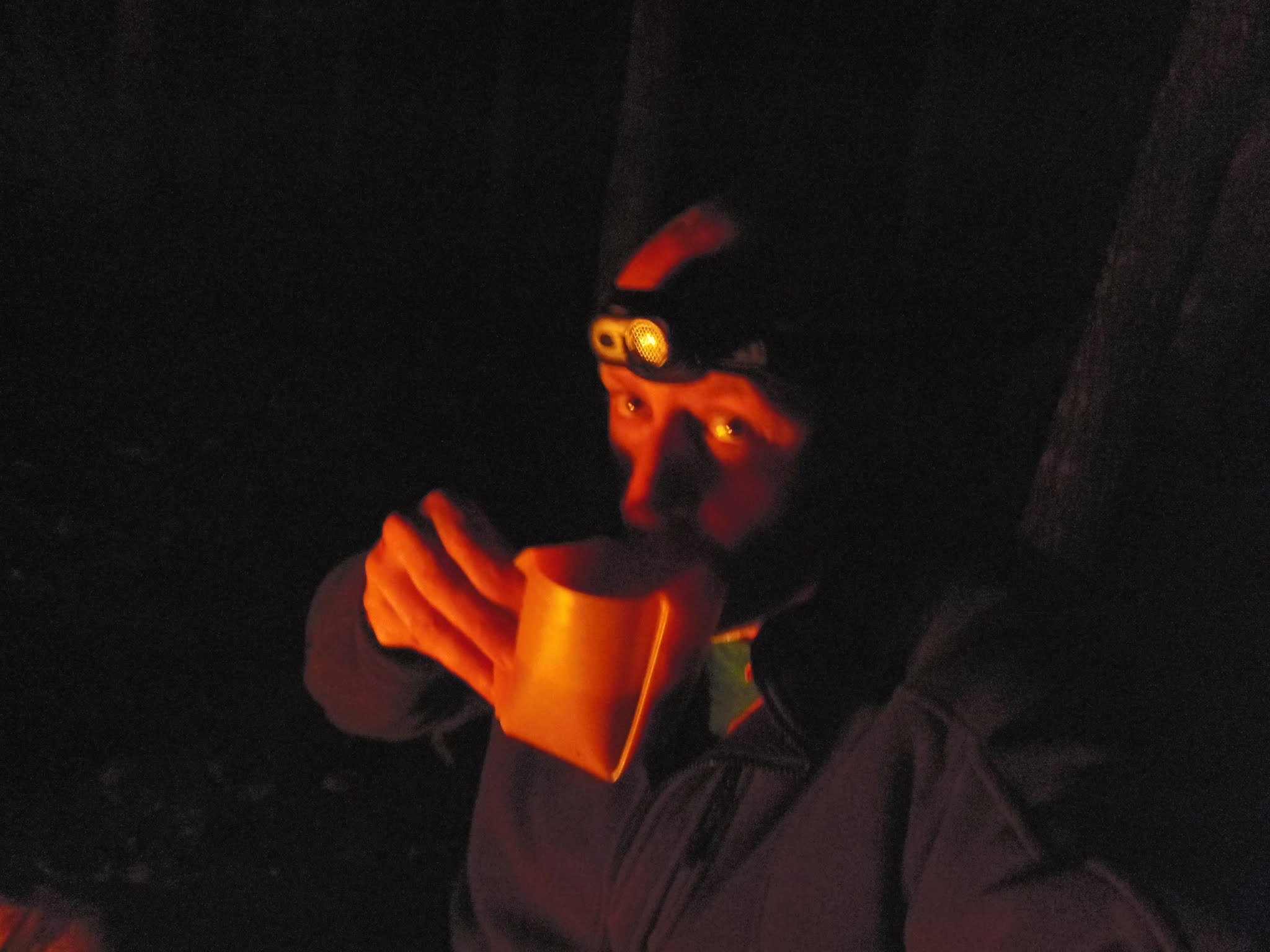
A hot chocolate with a dash of Baileys - it must be tent o'clock!


No comments:
Post a Comment