Before I start wading into these Gammons Ranges posts I need credit my walking partner Joanne with a large number of the photos. I haven't put credits on all the photos however let's just say that any photo that has my ugly mug in it.... and all the ones that feature good composition, are Joanne's.
Our days walking consisted of a late afternoon stroll up Balcanoona Creek.
Our day started off very civilized with breakfast in Hawker....
.... before we bumped our way north through the Flinders Ranges.
Arriving at Lochness Well it was time to start walking.
All smiles in the before shot!
Bunyip Chasm deserves a bit of respect.
The actual Lochness Well.
The moon has already made it's appearance.
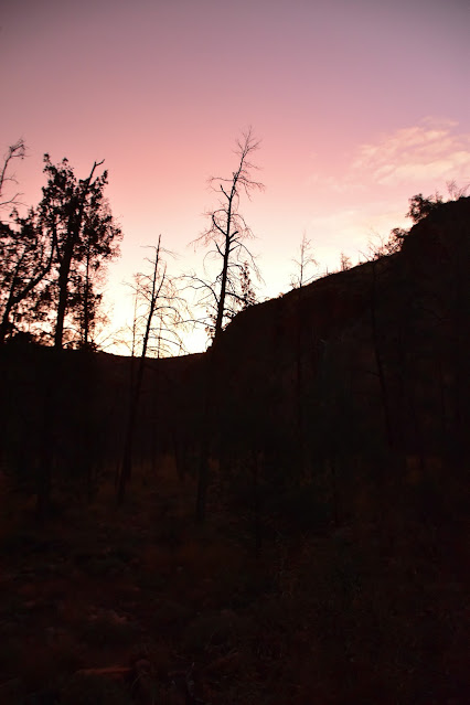
After avoiding Escalator Creek we only walked Balcanoona Creek for another ten minutes or so before arriving at a bit of a cleared spot near some big pools of water... and camp was sorted! Once the tents were up and camp was sorted we were able to enjoyed watching the changing colours, as the setting sun put on the usual show lighting up the surrounding red dirt country. All in all a pretty relaxed warm up for the coming days.
Easy walking up Balcanoona Creek.
Balcanoona Creek.
Camp is sorted... Well Jo looks sorted, mine looks like I've just thrown everything inside!
Creek bed cooking!...

... it looks a little rough... and it was!
The Dirt.
According to my GPS we walked around 1.3 kilometres 21 metres on this afternoons short stroll. The walk today was either beside or along Balcanoona Creek and was very easy as far as off track walking in the Gammon Ranges goes. On this visit there was a lot of water in Balcanoona Creek, the further in towards the mountains we got and more constricted the gorge got the more water we found (keep in mind 2022 had been a very wet year up here). We used notes and maps out of both Chapmans Bushwalking in Australia book as well as Adrian Heards A Walking Guide to the Northern Flinders Ranges. We also used our GPS topos, an Alltrails map that I knocked up and the third edition of the Illinawortina 1:50,000 topo.
Relevant Posts.


No comments:
Post a Comment