
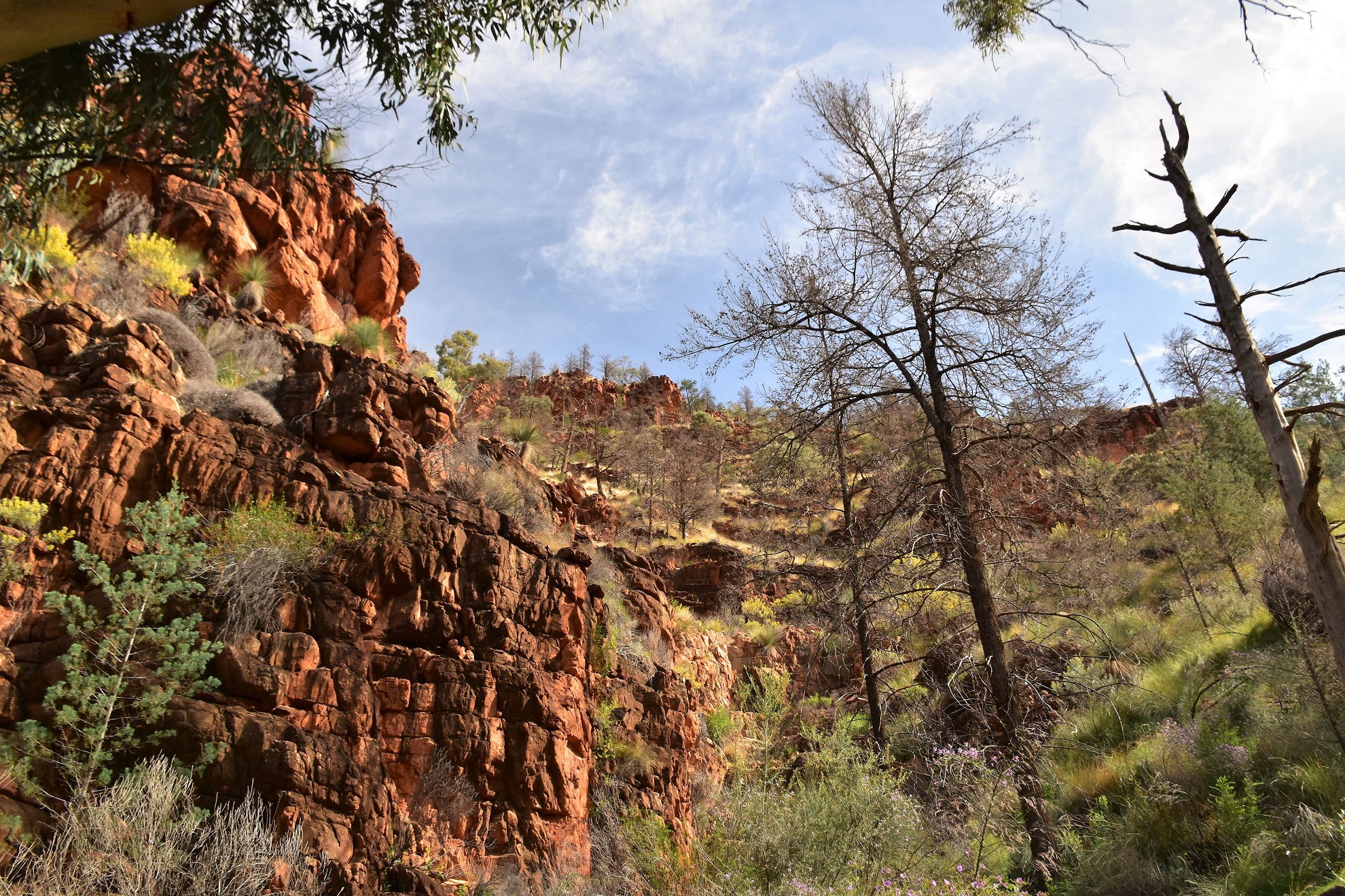
Heading up to Rover Rockhole this morning, the scenery was next level!

The view from the tent was a little more promising this morning.

There are so many small gorges running of the main watercourses here that you could spend months exploring and only see a fraction of the park.
We'd missed out on visiting Rover Rockhole yesterday in the rain, so that was our first objective this morning. After leaving camp we retraced yesterday's footprints back to the spot we'd dropped into the gorge from Wildflower Saddle before we continued to rock hop our way up stream towards the rock hole. The creek was actually flowing above ground in spots along here today so it made for fairly pretty walking, and shortly after walking a nice section of terraces we arrived at the waterfall that drains Rover Rockhole. With the waterfall also having a bit of water flowing down it into the large plunge pool this was a magic spot to just sit and enjoy the ambiance... and Jo being the sensible one in our partnership decided to do just that!..

Heading towards Rover Rockhole first up this morning.

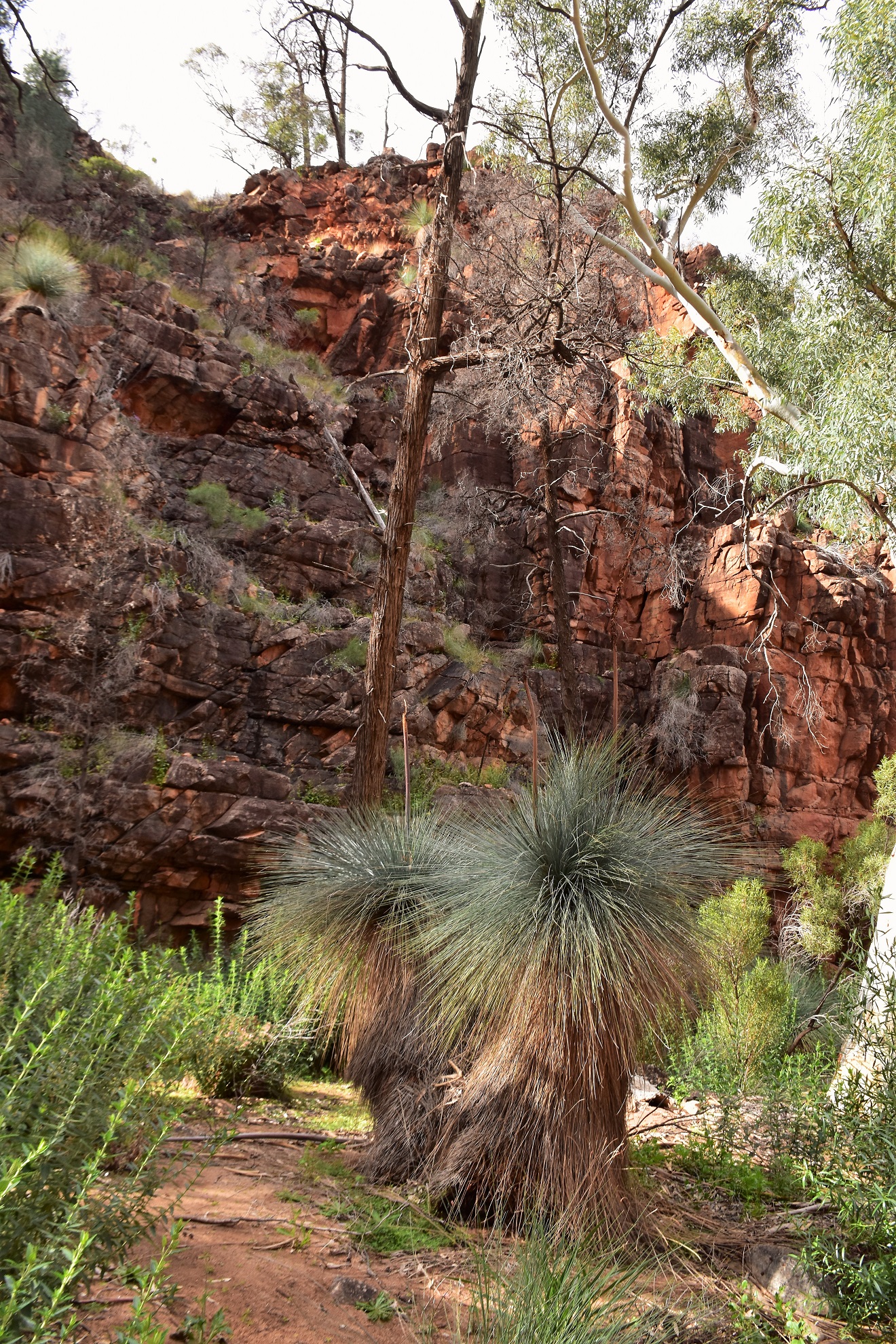
We walked a nice rock terrace just before arriving at Rover Rockhole.

The waterfall below Rover Rockhole had water trickling down it today.


... I decided to climb up to Rover Rockhole and check things out though. To get to Rover Rockhole I back tracked for a few minutes and then climbed a rough terrace on the west side of the creek. Once above the cliffs I doubled back and sidled my way along the steep spinifex clad slopes high above the creek. If anyone out there actually reads this and follows in my footsteps then be very careful along here that you don't dislodge any rocks onto any people in the gorge below you. After sidling a series of rough ledges I scrambled down onto the top of the waterfall, there is a very deep pool in the rock here that looks like it would hold water for a fair while in a dry period I'm guessing. The idyllic Rover Rockhole was only a short scramble away from the lip of the waterfall and had a couple of nice looking spots to camp, although you'd need to keep in mind that the local wildlife population are also relying on this waterhole too.

I was edging along this loose rock as I headed towards Rover Rockhole - be very careful here if there are people down in the gorge!

Rover Rockhole.

This slot below Rover Rockhole and above then falls looks like it would hold water for a long time into a dry spell.


Rover Rockhole.

Near Rover Rockhole.

Above Rover Rockhole.

Negotiating the loose slopes on my way back down.

Jo had found the logbook...

... which once again made for fascinating reading.
Leaving the waterfall below Rover Rockhole we dropped back down the creek until we arrived at it's junction with the South Branch of Italowie Creek (we were only around 100 metres up stream of our camp here). Instead of heading back to camp we swung up stream along the South Branch of Italowie Creek and started a very long and slow walk north-west. While the creek bed was rough the walking wasn't super technical though, we just rock hoped our way picking the path of least resistance passing by one pretty rock pool after another. Our plan had been to reach a spot called The Terraces and explore Fern Chasm a little bit, however that changed a little when we got to The Bathtub.


Heading back down towards the South Branch of Italowie Creek.


We were heading up the South Branch of Italowie Creek now.


South Branch of Italowie Creek.
South Branch of Italowie Creek.


South Branch of Italowie Creek.
The Bathtub is a narrow gorge with sheer walls where the creek bed dips and resembles a big bath, normally you'd just walk through and scramble out the far end... except that it was full of water today... and it looked deep....and cold! For some reason I hadn't carried a dry bag with me today and from where I was standing it looked like I'd be swimming. Pulling off my shirt and stashing it in my day pack with my camera, phone and GPS I waded into the water balancing everything on my head. Sure enough I was soon swimming, well I swimming as well as I could holding my daypack on top of my head with one hand and with my shoes still on! After a fairly ineloquent minute or so my feet touched firm ground and I hauled myself out onto a rock... fuck that was cold! Looking back I could see that Jo was stripping off to follow me in, however I was starting to doubt the wisdom of this decision - the water was just too cold and deep.... so after a bit of a shouted conversation we decided to abort this bit of the walk and head back to camp....we'll we'd return to camp once I dog paddled swam back through the small gorge!

South Branch of Italowie Creek.


The Bathtub...

... was deep and cold!

Jo was carrying off the bushwalking chic look with aplomb... I looked more like a wet and dishevelled hobo!
Back on dry ground with Jo I dripped dry for awhile under the weak winters sun while we both enjoyed the wild scenery. Once again I found myself thinking that I have to get back to this part of the world again. After drying off we grabbed our day packs and set off back down the creek towards camp. It's quite ironic really that it is generally water and wet rock that always seem to dictate where and when I go when I'm in the Gammons - all this in a very arid and dry area of the country.


South Branch of Italowie Creek.


South Branch of Italowie Creek.

South Branch of Italowie Creek.


The Dirt.
I'm thinking we walked around 6 kilometres today and climbed about 150 metres on what was a short but still solid days walking. Due to the scrambling around Rover Rockhole and the route finding I'd still call this a medium grade days walking I suppose. On this visit there were numerous spots to collect water so that wasn't an issue, actually it was too much water that cut things a little short in the end! We used notes and maps out of both Chapmans Bushwalking in Australia book as well as Adrian Heard's A Walking Guide to the Northern Flinders Ranges. We also used our GPS topos, an Alltrails map that I knocked up and the third edition of the Illinawortina 1:50,000 topo.
Relevant Posts.

Back at camp.

There was s fairly substantial waterhole 50 metres from where we camped.

Our last night up in Vulkanthunha-Gammon Ranges National Park was a good one.


No comments:
Post a Comment