
Late afternoon up on the Constance Range.

The track heads off from behind the visitor centre.

Initially I followed the creek downstream of awhile.

Lawn Hill Creek.

The Constance Range Track was fairly well defined and way marked.

The area around the creek can cop a pounding in the wet season.
Somewhat unusually for Boodjamulla National Park the Constance Range Walk actually heads away from the gorge and the creek, although after leaving the camp the track did head along beside the green water of Lawn Hill Creek for a short distance. Eventually my route veered away from the water though and started climbing up onto the range, and while I’d left this walk until pretty late in the day it was still stinking hot so it didn’t take me long to start sweating up a storm.
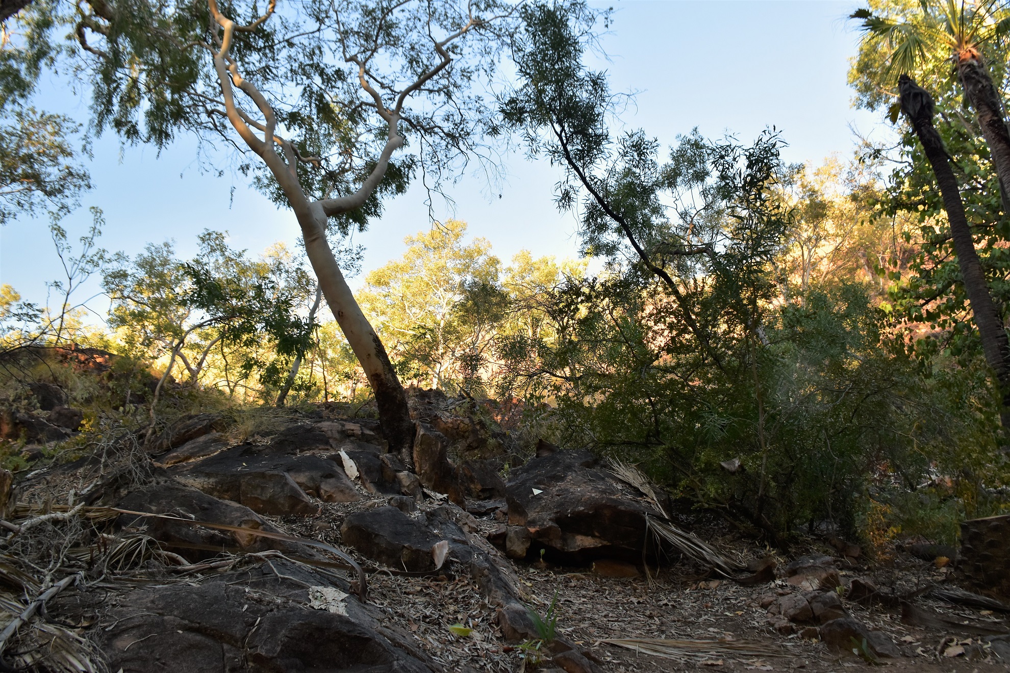
Alright, it's time to leave the shade and start climbing.

The track was well way marked with track markers where needed.

Approaching the top and I was looking for an excuse to stop for awhile.

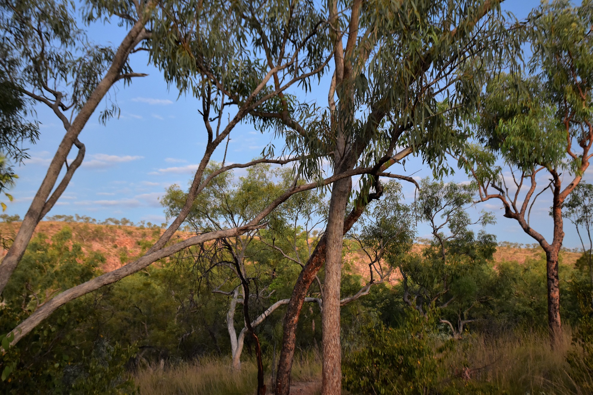
Once on top of the Constance Range the walking got a lot easier...

... and the views got a lot longer.
The climb up onto the Constance Range is what I’d call solid - not super hard, but steep enough that I was happy to stop occasionally to take a photo (and got some air into me!). Climbing the rock slabs I was lucky to have the setting sun at my back on this walk and the blues, reds, and yellows were all looking magnificent this afternoon. It had been a good wet season up here and the sea of yellow Spinifex looked a little like fields of wheat (yep, just don’t touch it or you’ll tell the difference!).

Nice walking on the Constance Range.

Late afternoon on the Constance Range, Boodjamulla National Park.

Looking down from the Constance Range. The truck had just come in from the dirt Mt Isa Road (this road also services the Century Zinc Mine and the Riversleigh World Heritage Fossil Site) and has turned towards Adels Grove.

Late afternoon on the Constance Range, the photography was the main impediment to forward progress now!

Looking south from the Constance Range Track.

The zinc mine is off towards the left of the photo, Riversleigh is in the mountain range on the right although neither are really visible in the photo.
Once I’d sweated my way up onto the top of the range the track splits into a short loop walk around what is almost a small plateau. While the view down towards Lawn Hill Gorge is always a good one I was looking right into the low sun trying to photograph it this afternoon - instead it was the view out across the vast flat plains east of the Constance Range that really grabbed my attention - it certainly is a big, harsh country. When my little loop was complete it was just a matter of retracing my steps back to camp where happily I arrived just as the last of the light for the day was disappearing.

Dropping off the range - our camp was in the valley just to the right of centre.

Constance Range, Boodjamulla National Park.

The Spinifex looks fairly benign in this soft light - yep, don't be deceived!

Constance Range, Boodjamulla National Park.

There goes the sun - and with it the sting out of the heat.

I'd carried my head torch although in the end I didn't really need it.

Looking back towards the Constance Range.
The Dirt.
According to my GPS I walked around 3.4 kilometres and climbed about 125 metres on this easy stroll. The climb is mostly up rock slabs and small rock shelfs and once on top of the range the track is mostly small rocks, so I guess some people may find that hard which maybe why the QLD Parks folk rate the walk as hard? Once on the climb there is no shade on this stroll. I used my Alltrails Map along with my GPS topos on this stroll.
Relevant Posts.

I'm guessing that this would only flow after some big wet season rains. Incidentally that's Duwadarri Lookout in the distance on the left hand side.

By the time I got down to creek level the light of the day had pretty well gone...
... although the Constance Range was still glowing a bit.

Arriving back at camp it was time for swim, dinner and then tent o'clock!


No comments:
Post a Comment