Thursday, September 22, 2022

Balcanoona Creek Camp to Mt John Robert Camp, Vulkathunha~Gammon Ranges National Park - August 2022


Jo is just cruising... on the climb up to Steadman Ridge (in the back ground).

While our first day on this walk had really just been a short creek side amble today we ramped things up a bit, although you'd hardly be able to tell that by the distance we walked! Last night had got pretty cool and we had to pack up some fairly wet and dewy gear fist thing this morning - still with no rain forecast and a high camp planned for tonight I was pretty sure everything would dry out ok. First up this morning though Jo and I continued to rock hop our way up Balcanoona Creek to the entrance to Bunyip Chasm.

 
We enjoyed a fairly cold night down on Balcanoona Creek.

Heading for the sunlight as we made our way along the creek.

Balcanoona Creek.

Balcanoona Creek.

We'd be climbing into those hills later today.

Balcanoona Creek.

Things are starting to get a bit rougher now.
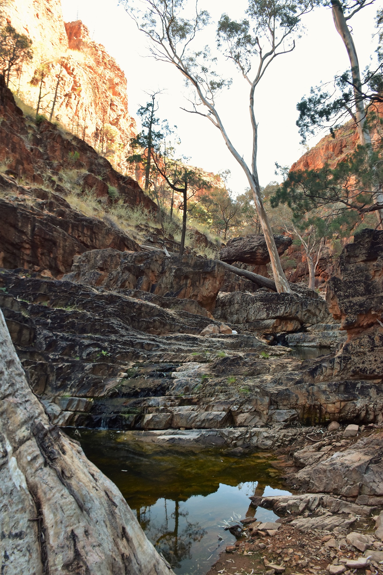
Balcanoona Creek.

I was already little concerned with the amount of water around as last time I'd tried to climb into Bunyip Chasm a damp waterfall had stopped any further forward progress. So when we arrived at the entrance to the chasm I wasn't overly surprised to not only see a deep pool of water but also to see water tricking down the rock faces... hmm. We were still pretty keen to see how far up the chasm we could go though, so with a little trepidation and after grabbing the bare essentials (camera and Inreach) we headed up to the first waterfall.

 Balcanoona Creek.

Balcanoona Creek.

The first waterfall had a 4 metre pool of deep water to negotiate before we had to scramble up an almost sheer 3 metre waterfall. The good news was that there was a log floating along the length of the pool - the bad news was that it wasn't going to be floating once I stood on it with my fat guts! And so it was... as soon as I edged my way along the log it pretty well sank so that by the time I reached the waterfall I was more or less wet to my waist, however once I got to the waterfall I was able to use a couple of dead tree branches to scramble to the face so at least that was a partial success.

 
I was wet from my balls down.... I'd call that a partial success!

Next it was Jo's turn. Things were going pretty well as she inched her way along the partially submerged log... until she got to the spot where she had to swing across from one side of the chasm to the other while balancing on a log floating in the water... and let's just say it didn't exactly go to plan! The one thing I can say it was a graceful water entry! So with Jo now wringing wet to her shoulders she decided to retreat back out of the chasm to dry off and I was on my own for awhile.

 
Jo negotiated the floating log with more aplomb than a Canadian Lumberjack...

... the transition from the balance beam to the rock climbing wall still needs a bit of work though!

I now slowly and carefully rock hopped my way further into the chasm. After around 50 metres I got to another waterfall similar to the first, although being wet to my waist already I just waded in this time and once again I had a dead tree wedged into the rocks to help me climb the sheer wall. Once over the second waterfall I climbed up to a large amphitheatre, with cliffs towering all around me this is where forward progress ceased today - coincidently at exactly the same spot that stopped me ten years ago. Whereas last time it was light rain that stopped me, today it was the fact that the next big (maybe 10 metre) waterfall was actually flowing and there was no way I was going to climb the wet sloping rock. So with anymore forward progress up Bunyip Chasm once again stymied I slowly waded and rock hoped my way back down the chasm to re-join Jo at the entrance.

I was on my own for awhile now.

Seeing that I was already wet I just waded into this one.

Heading up Bunyip Chasm towards the amphitheatre.

Once again I had to turned back at this amphitheatre.

This waterfall has pushed me back twice now.

Dropping back down through Bunyip Chasm... if you squint you may see Jo at the end of the chasm which kind of puts the size of the walls into perspective.

With Jo still drying her clothes out in the sun I decided to scout around a bit to look for the easiest (relatively speaking) route out of, what was now a gorge, up towards Mt John Roberts. The first exit that I checked out was the way I went last time, however when I got to the 20 metre high waterfall that we'd have to climb I found it flowing and while I was able to scramble up without my pack I wasn't keen on lugging my pack up this one. The next option that I checked out was a very steep gully almost opposite Bunyip Chasm. While this gully was steep and loose at least the scramble would be dry and without as much exposure - so this was the best option I thought.

 
While Jo was drying her clothes I headed a little further up Balcanoona Creek to check out a potential exit point.

This is Chapmans described exit point.

Basically the go here is to climb a very steep chute and then cross ledges to pass above the waterfall - it is do-able however we decided to try a gully almost opposite Bunyip Chasm in the end.

After dropping back down to the entrance of Bunyip Chasm I ran through the pros and cons of both routes with Jo and we decided to give the gully a go. While the gully was super steep there was only around 3 small sections that required a bit of committed scrambling, although we still had to be careful that as we climbed that we didn't dislodge any of the loose rock. The biggest issue was that we were lugging around 5 litres of water up for our Mt John Roberts Camp. Once we'd climbed out of the gully the walking was just a very steep slog up the spinifex covered slopes.

This was the top of our climbing gully - I had my hands full on the climb so no photos of that bit, although looking at the photo it all looks pretty easy!

Looking back down towards Bunyip Chasm from the top of our climbing gully.

After around 30 minutes of super steep climbing the gradient eased off a bit and the walking was pretty good, while at the same time the scenery was getting better and better as we climbed with Bunyip Chasm now a small slot in the cliffs below us. After arcing around some sheer cliffs, with Jo doing it fairly easily and me not so much as I battled cramps in my groin, we arrived onto the crest of Steadman Ridge and pretty well all the climbing was done. Once on Steadman Ridge we easily made our way south along the gently undulating ridge, and after managing to avoid the worst of the scrub we arrived on the summit of Mt John Roberts a little over an hour before sunset. 

 
Once out of the gully the climb was still... solid!

Jo was getting to know the Spinifex... at least Bunyip Chasm was receding into the distance a bit.


Balcanoona Creek flows through the gorge which we've just scrambled out of.

It was around now that my lack of fitness started to show!

Jo, on the other hand was scampering up like a mountain goat!


The camping on Mt John Roberts could be best described as rough, there are a few semi cleared spots scattered around however both Jo and I were sleeping on pretty uneven sites. I grabbed the spot that I camped in ten years ago beneath a native pine, although unfortunately a fire has gone through since my last visit and I was now sleeping next to a skeleton of a tree. It's not about perfect pitches up here though, nope it's all about the views. Jo and I enjoyed our hot chocolate as the sun slipped below the mountains and the full moon started to light up Lake Frome and the northern Flinders Ranges.

We arrived on the summit of Mt John Roberts with about an hours sun left - with time to get a bit of gear dry after last nights fairly heavy dew.

I camped in this exact spot around ten years ago - a bushfire has obviously been through since my last visit.

It's all about the views from this camp really.

Mt John Roberts.

The summit is fairly flat although the camping is limited by the rough ground.

Looking down towards Red Hill (middle left) and Wortupa Pound from the summit.

The Dirt.
We walked around 6 kilometres and climbed about 500 metres on what I'd call a hard day's walking. I've calculated these figures off my map as both my GPS and Alltrails either dropped out... or I didn't use them (Bunyip Chasm). Now these stats are fairly misleading I reckon, the walk into Bunyip Chasm is as dicey as most walkers will ever contemplate doing I think - it's pushed me back twice now and I'm not a novice scrambler. The climb out of the Balcanoona Creek Gorge is also a bit of a ball tearer. Having done both the Chapman recommended waterfall route and Adrian Heards gully route I think that the gully route is slightly easier -  if only because the scrambling is less exposed. Water was available frequently down in the gorge however everything for camp had to be lugged up. We used notes and maps out of both Chapmans Bushwalking in Australia book as well as Adrian Heard's A Walking Guide to the Northern Flinders Ranges. We also used our GPS topos, an Alltrails map that I knocked up and the third edition of the Illinawortina 1:50,000 topo.

Relevant Posts. 


These shots always look more impressive on my phone than they come out in reality!

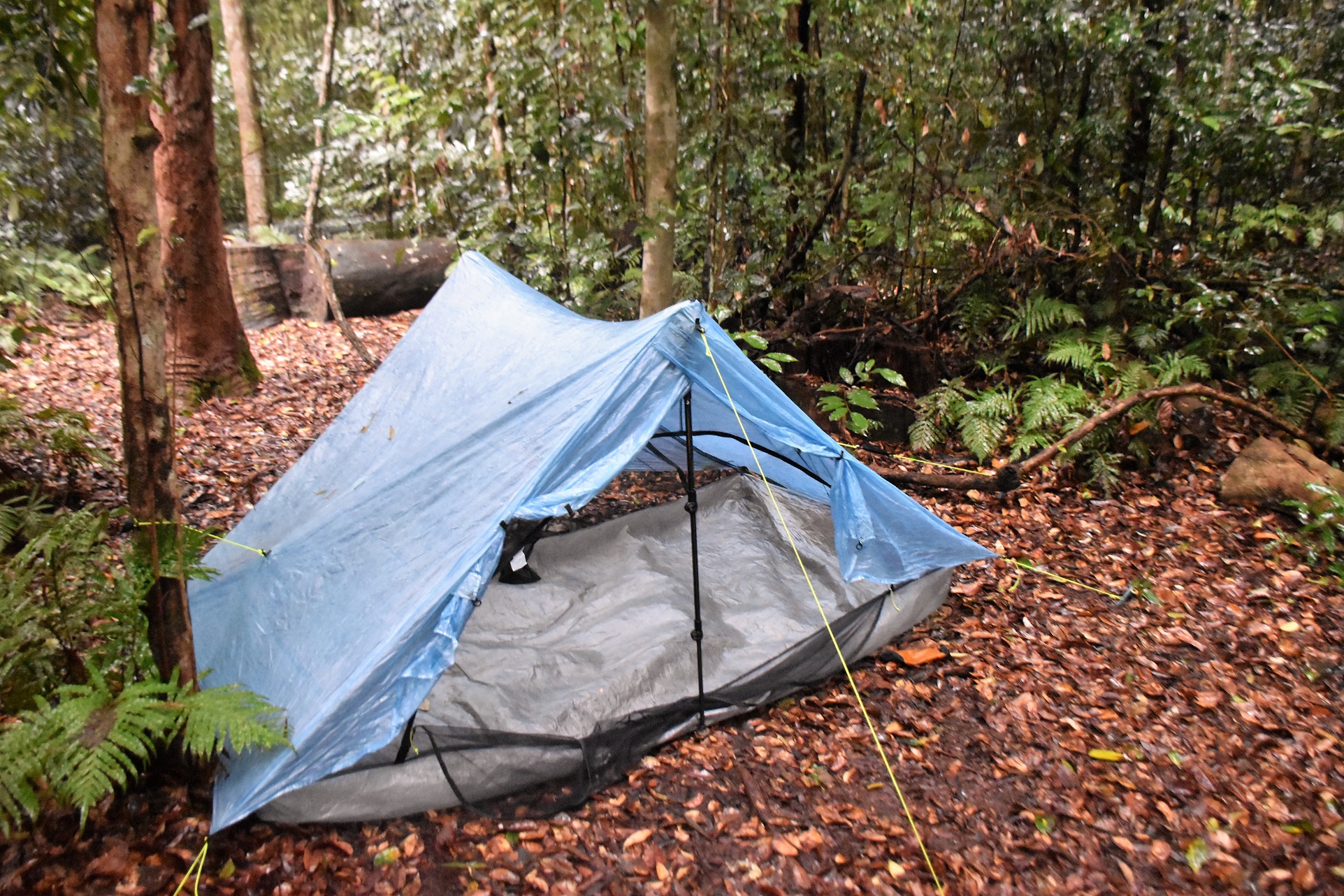
Jo got a great pitch on the Dan Durstan... my Duplex set up was a little more ragged...as usual!


Last time I was up here I was in the tent sheltering from the rain - tonight was a welcome change.

Sunset from Mt John Roberts... lets see what tomorrow will bring?


Sunday, September 18, 2022

Lochness Well to Balcanoona Creek Camp, Vulkathunha~Gammon Ranges National Park - August 2022

Before I start wading into these Gammons Ranges posts I need credit my walking partner Joanne with a large number of the photos. I haven't put credits on all the photos however let's just say that any photo that has my ugly mug in it.... and all the ones that feature good composition, are Joanne's.

Our days walking consisted of a late afternoon stroll up Balcanoona Creek.

I've been waiting to get back up to the Gammon Ranges for a long time... around ten years actually. With some good rain falling up there earlier this year, and after a chat with the local ranger I figured that the time was right for a return visit. Once I'd decided to go I started talking to a couple of friends to see if anyone was interested in joining me, and in a stroke of very good fortune my friend Joanne agreed to come along to keep me company. Like me Jo has done a lot of walking over the years however she had never walked in the Gammon Ranges before, so this would be a bit of a baptism of fire for her - although with her skills and fitness I was more worried that I'd be holding her back.

Our day started off very civilized with breakfast in Hawker....

.... before we bumped our way north through the Flinders Ranges.


Arriving at Lochness Well it was time to start walking.

Our first days walk was a really short one, which was a good thing as we didn't set off until around 3pm. The plan for today was to leave the ute at Lochness Well and wander up Balcanoona Creek towards Bunyip Chasm until we found somewhere to camp - preferably with some water near by. Once we'd left the ute we meandered our way up the creek for fifteen minutes or so, before swinging left when Escalator Creek joined Balcanoona Creek - this junction being our only navigational challenge of the day.

All smiles in the before shot!

Bunyip Chasm deserves a bit of respect.

The actual Lochness Well.

The moon has already made it's appearance.


After avoiding Escalator Creek we only walked Balcanoona Creek for another ten minutes or so before arriving at a bit of a cleared spot near some big pools of water... and camp was sorted! Once the tents were up and camp was sorted we were able to enjoyed watching the changing colours, as the setting sun put on the usual show lighting up the surrounding red dirt country. All in all a pretty relaxed warm up for the coming days.

Easy walking up Balcanoona Creek.

Balcanoona Creek.

Camp is sorted... Well Jo looks sorted, mine looks like I've just thrown everything inside!

Creek bed cooking!...


... it looks a little rough... and it was!


The Dirt.
According to my GPS we walked around 1.3 kilometres 21 metres on this afternoons short stroll. The walk today was either beside or along Balcanoona Creek and was very easy as far as off track walking in the Gammon Ranges goes. On this visit there was a lot of water in Balcanoona Creek, the further in towards the mountains we got and more constricted the gorge got the more water we found (keep in mind 2022 had been a very wet year up here). We used notes and maps out of both Chapmans Bushwalking in Australia book as well as Adrian Heards A Walking Guide to the Northern Flinders Ranges. We also used our GPS topos, an Alltrails map that I knocked up and the third edition of the Illinawortina 1:50,000 topo.

Relevant Posts.


Suns gone down...

... and it's tent o'clock.


Thursday, September 15, 2022

Blackwood Camp to Airlie Beach, Whitsundays Great Walk, Conway National Park - May 2022

Nice easy walking this morning.

Once I'd freed myself of leeches and got all the mozzies out of the tent I enjoyed a good nights sleep up at Blackwood Camp, although the sound of the rain and the wind howling through the tree tops did interrupted my dreams a couple of times. Thankfully the rain had pretty well stopped by the time I emerged from the tent, although looking around it was clear that the clouds ceiling was down pretty low as things were pretty misty up at Blackwood Camp this morning. I was pretty keen to get down to Airlie Beach and enjoy a late breakfast with Sam this morning so I didn't muck around breaking camp and I was heading off before 8am this morning.

I was packed up ad on my way fairly early this morning.

It's a long walk to get water if you need it at Blackwood Camp...

... although there are a couple of long drops. 

The Great Walk continued on along the undulating ridge, occasionally dropping and climbing very steeply although for the most part the walking was pretty good, although very muddy. Around ten minutes after leaving camp I arrived at some more water tanks, although I still had around a litre on board so I decided to give it a miss this time. While I had mostly been walking in cloud this morning I did start to get a few patches of blue sky that would fleetingly appear through the canopy, although for the most part grey was the predominant colour of the sky. 

I had a little cloud swirling through first up today.

Whitsundays Great Walk.

Occasionally I'd get some glimpses through the canopy. 

I was keeping a very close eye out for stinging trees when I walked across these openings. 

Conway National Park.

I was happy to be able to re-fill my water bottle as I hadn't topped up at the last tanks back near Mt Haywood last night. 


With one last steep climb looming ahead of me I arrived at some more water tanks, this time I decided to top up a little as even under the grey skies I was still sweating bullets in the humidity this morning. I've started using a Katadyn Be Free filter and it is certainly more convenient than my old purification pill method, not only don't I have to wait thirty minutes to drink the water but I can also drink it straight from the filter which is handy. After a quick drink I grabbed my pack and sweated my way up and over the last steep climb of the walk and after dropping down a bit and meeting the Honeyeater Lookout Track I knew that it would be all down hill from here.

Dropping down the very slippery track towards the Honeyeater Lookout Track.

I'll leave the Honeyeater Track until I'm visiting on a nicer day. 

The track improved after I passed by the Honeyeater Lookout Track although it was incredibly slippery. 

I started to get a few views as I dropped down towards Airlie Beach. 


Once I'd joined the Honeyeater Lookout Track the underfoot conditions improved a fair bit as I had a wide, smooth and clear track to descend. Now that doesn't mean it was all good though, with all the recent rain it meant that this descent was slick as ice in spots - there is no way that I would of got down here without going arse up if I didn't have my trekking poles. There is a fair bit of height to lose going down here, so the descent was a long one although as I lost height and approached the houses on the outskirts of town I did start to get some good views both down towards Cannonvale and then a bit later Airlie Beach. Arriving at the top of a long series of stairs I took my last photo out over the water and dropped down into the outskirts of Airlie Beach. From here on I was walking sealed streets as I descended down to the CBD, once down in town I wandered down to the Lagoon and finished off my walk.

Apart from a couple of climbs todays walk was mostly downhill. 

Finishing the walk in Airlie Beach was slightly surreal.

The Whitsundays Great Walk is about to spit me out of the bush and into the suburbs. 


The Dirt.
According to my GPS I walked around 8.6 kilometres and climbed about 322 metres on this medium grade walk. While today was mostly downhill it still had a couple of climbs that stung. There is no parking at the spot where the track spits you out into Airlie Beach so I figured that the Airlie Beach Lagoon would be a reasonable landmark to finish the walk at. The descent down off the range was incredibly slippery this morning and trekking poles were a definite asset for me. I used my Alltrails App and my GPS topos on this stroll.

Over the two days of the Whitsundays Great Walk I walked around 31.2 kilometres and climbed 969 metres on what I'd call a medium - hard grade walk (mostly due to the second half of day 1). You need to organise a camping permit with the QLD Parks people to camp on this stroll which you can do online. This is a bit of a Jekyll and Hyde of a walk, the first ten kilometres are about as easy as you could get however from then on it gets reasonably hard. The Whitsundays Great Walk is really a rainforest walk, there are a couple of rainforest creeks on day one that should make for good swimming and there are a few ocean views however for the most part it's all green tunnel type of walking. 


Relevant Posts.

I finished my two day stroll of at the lagoon in Airley Beach as there doesn't appear to be an official 'trail head' at this end of the track. 

I managed to get back to the apartment, drop my pack, have a shower and still make it back to town for breakfast!


Pelion Hut to Mt Ossa return, Overland Track - April 2010

Mt Oakleigh from the Pelion Hut heli pad. I think the mountain just visible in the mist in the distance is Cradle Mountain... ... the flat t...