Friday, February 17, 2023

Lake Becking Camp to Mt Crozier Walkers Camp, Sunset Remote Walk, Murray~Sunset National Park - September 2022

Once again I need to thank Joanne for any photos over the next 3 posts that feature my ugly mug!

Walking the Sunset Remote Walk beside Lake Becking.

I'd been trying to walk the Sunset Remote Walk for quite a few years now, however circumstances (Covid Lockdowns) had really mucked me around and I hadn't even got close to having a go at it. When I was walking with Jo recently she happened to mention that she was also keen on having a go at the walk so we decided that it was game on. With us both living at different ends of the state we decided to meet up at Lake Becking Camp the night before the walk, which fortuitously allowed us to get in a nice sunset over Lake Becking before we left next morning. 

It was pretty late n the day when I turned up at the Lake Becking Camp...

... we still had time to climb the dune behind camp for sunset though.

There is a lot of salt mining history at Lake Becking. 

Lake Becking


By the time we woke up next morning, packed up and enjoyed brekky it was after 9am when we set off. The Sunset Remote Walk (SRW) starts at the Lake Becking Camp and the first signpost is on top of a dune, 15 metres from camp. After the obligatory 'start' photo we crossed the dune and dropped down to the edge of Lake Becking. Last time I'd walked here Lake Becking was completely dry however on this visit the salt lake was pretty well full of water, which was a nice contrast. The SRW contours along the edge of some dunes on the southern shore of the lake here, although walking the lakes edge was the more enjoyable option today.

We were actually up pretty early this morning...


... although by the time we actually set off the sun was a bit higher in the sky!


The start shot. 


The only lake that we'd see on the walk was Lake Becking at the very start (or end) of the walk. 

After we reached the western end of the salt lake we swung away from the lake (well it swung away from us actually) and headed into the desert. We now walked a sandy track generally west for a short while before our track intersected with an old north / south fence line which our track followed north...for a long time! Walking the old arrow straight fence line meant that we had to climb and descend a few reasonably sized dunes, although really the going was pretty easy until we reached Saltbush Flat and our first water tank. After enjoying a quick break we grabbed our packs again and once again continued our fence line walk for awhile longer as the dunes started to get slightly higher, passing our return route at a nice copse of native pines along the way.

Lake Becking

Lake Becking is normally a bone dry salt lake so to see it with so much water was a little unusual. 

Our route followed this old fence line for a looong time. 

The Saltbush Flat water tank. 

After crossing Honeymoon Hut Track the SRW left the fence line and started a more meandering journey north and we also now started to negotiate some higher dunes that were interspersed with a few pleasant grassy flats. Unfortunately this section of the walk had been fairly badly cut up by motorbikes so not only were we climbing some of the biggest dunes of the walk but we were also negotiating some of the softest sand that we'd encounter...c'est la vie 😒

North of Honeymoon Hut Track we left the fence line and started a more meandering journey north. 

We were now climbing up some fairly large sand hills. 

I think that maybe Mt Crozier in the distance. 

Murray Sunset National Park.

Sunset Remote Walk.

Some of the steeper climbs were made a little harder by motorbikes cutting up the sand. 


We'd been looking at some larger sand hills in the distance for awhile and guessing that one of the bigger hills must be Mt Crozier, so it was no real surprise as we found ourselves snaking along a high sandy ridge towards the biggest of them now. By the time we reached the Mt Crozier Lookout I was pretty cooked today (and as usual in our partnership Jo appeared to be doing it easy) although thankfully our camp was only a fairly short descent away. Actually our camp was so close to the lookout that after pitching the tents and eating dinner we were able to head back up to the lookout in time for sunset. 

Looking down over our Mt Crozier Camp from the lookout.

Jo is dropping off Mt Crozier. 

Apart from the water tank there are no facilities at the Mt Crozier Walkers Camp. 

Mt Crozier Walkers Camp.


The Dirt.
We walked around 18.5 kilometres and climbed about 460 metres on what I'd call a medium grade days walking today. We were able to get water from tanks at Lake Becking, Saltbush Flat, the Mt Crozier 4wd Camp and also the Mt Crozier Walkers Camp (we contacted the local Parks Vic office before setting off to check the water levels). There are long drops at both Lake Becking and the Mt Crozier 4wd Camp. We had Telstra service from some of the higher spots today although you wouldn't want to be relying on a signal though. The walking is slightly harder than maybe imagined on sections of this walk as the sand has been badly cut up by motorbikes so that needs to be factored in - talking to the local ranger before the walk he said it was a ongoing problem. The walkers camp at Mt Crozier is remote from the 4wd Camp and has no facilities apart from the water tank and some flat ground - the long drop is a five minute walk away in the 4wd camp. We used John & Lyn Daly's notes out of their old book Take A Walk in Victoria's National Parks as well as our Alltrails App and GPS topos today, we were also carrying Meridian's Victoria's Deserts map.


Relevant Posts.


We climbed back up to the lookout for sunset.


Sunday, February 12, 2023

Red Rock Trail - May 2022

Red Rock Trail.

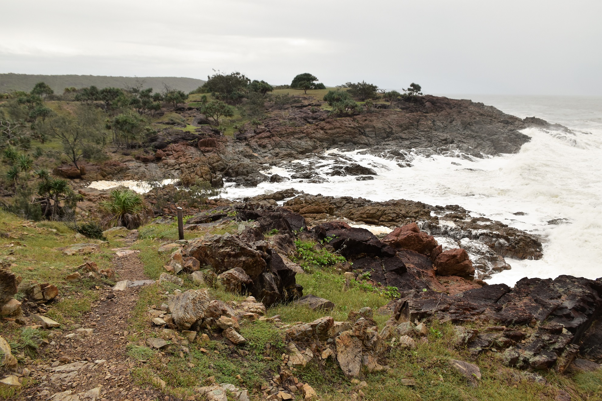
Agnes Water is just around the corner from 1770 and like 1770 this about as far north you can go up the east coast of Australia and find reliable and ridable surf, any further north and the Great Barrier Reef takes the heat out of the swell. Unfortunately on my visit today the coast wasn't looking at its best due to to the inclement weather, however it was a good day for checking out waves crashing into rocks. This walk starts at the end of a dirt track leading east off Springs Road and the track is signposted as not being suitable for vehicles, in reality it was a fairly reasonable track even after all the rain that had been falling up here recently. 

Hmm.... this looked serious.

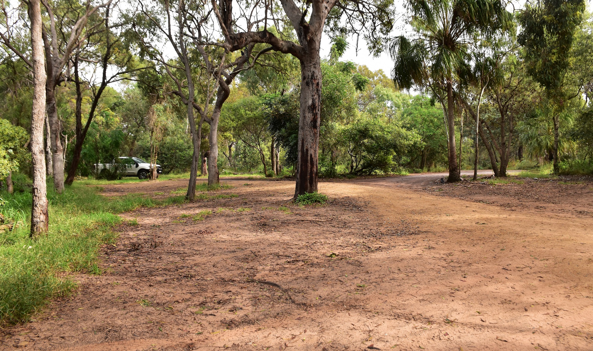
The track into the carpark wasn't too bad really.

I was a little surprised to arrive at the rough carpark at the end of the road and find around 12 vehicles scattered about as like I've mentioned already the weather today was average at best. Grabbing my camera I set off down the long boardwalk down to Springs Beach and it soon became clear why all the vehicles were in the carpark, they weren't walkers out traipsing along the coast they were surfers out enjoying the swell. Once I hit the soft sand of Springs Beach I swung right and headed for Rocky Point to watch the surfers for awhile before picking up the trail and starting my journey south.

The trail head is well signposted from the car park.

The section down to Springs Beach is pretty well all boardwalk.

The Springs Beach Humpy. 

Rocky Point at the south end of Springs Beach seemed to be the go to spot for the surfers.

Today was more about the wild surf crashing into the rocks than beautiful scenery shots. 

Rocky Point. 

The view north towards Round Hill Headland (1770) from Rocky Point. 

Red Rock Trail is named after the slightly unusual red rocks that make up the coast along here and ordinarily they would make for some nice photos I think, although today I was more interested in keeping my DSLR dry than composing great photos. After crossing Rocky Point, Red Rock Trail traversed a series of small beaches and headlands and while the beaches were sometimes a little soft the headlands made for nice walking, although the track was sometimes a little muddy and slippery. After walking Honeymoon Bay and Sunrise Beach the track arrived at the last beach of the walk. 

The Red Rock Trail stays fairly close to the edge of the low cliffs...

... occasionally dropping down to water level to walk small beaches. 

Red Rock Trail.

I'm about to drop down onto Sunrise Beach. 

The further I walked today...

... the more the weather deteriorated. 

Red Rock Trail.

Now from my extensive two minute internet search this last beach doesn't appear to have a name, which is a little strange as it's the longest stretch of sand on the walk. Whatever the case regarding the name, this beach made for a solid walk today. My arrival onto the sand corresponded with the weather deteriorating some more and with a strong south easterly blowing into my face and the rain coming down fairly steadily I spent most of this beach with my trekking umbrella in front of my face trying to stay partly dry. Arriving at the southern end of this long beach (well, it was over a kilometre!) I climbed up onto a final headland to check out the view, although once again the weather meant that I was struggling a bit with the photos.

The last beach that I walked doesn't appear to have a name however it was my longest beach walk for the day. 

I was now climbing up onto that rocky headland.

It was a fairly easy climb - initially up the red rock before some open grassy slopes.

Looking back down along the beach that I'd just walked. 


Time to head back to the ute I think. 

With the weather not looking like it was likely to improve much in my near future and with around 4 kilometres to walk before I'd get back to the ute I figured that I'd better get going again. My walk back was a bit of a carbon copy of my outward stroll, somewhat obviously really as I was retracing my steps most of the way. What was a little different on my return walk was that the weather was getting even wilder, the rain and wind only seemed to be intensifying. While the shitty weather was a little annoying at least it wasn't cold, if I was walking in conditions like this down south then I'd be rugged up in full waterproof gear, freezing cold and normally pretty miserable - up here I was just dealing with wrangling my trekking umbrella and DSLR, I was wet from around the waist down however I wasn't the least bit cold.

And still the weather deteriorated.

There were no walkers around although I did have a White Bellied Sea Eagle for company for awhile. 


Red Rock Trail.


I enjoyed a fairly relaxed walk back as I took the time to stop occasionally to get photos of Mother Nature doing her best walk on the rugged coastline - I'll probably never get back here again and if I did I doubt it would be in conditions like this. After carefully negotiating my way back along the slippery track I dropped back down onto Springs Beach again, the surfers that had been enjoying the swell at Rocky Point now all having headed back to their dry homes. All that was left now was to pick up the long boardwalk that I climbed away from the beach and back up to the ute - jumping into the dry cabin it was time to look for my next little adventure!

Looking back over a very foamy Sunrise Beach.

The Red Rock Trail dropping down towards Honeymoon Bay.

There were quite a few wallabies out and about near Honeymoon Bay. 


The Red Rock Trail heading back towards Rocky Point. 

The Dirt.
According to my GPS I walked around 8.7 kilometres and climbed about 222 metres on what I'd call an easy - medium grade walk. If anyone wants a slightly easier walk then avoid the climb onto the last headland and this would be an easy walk. The Red Rock Trail looks like it had a lot on money spent on it at some stage, however it seems to be getting a little rough around the edges now (that maybe because we have had a lot of shitty weather up here over the last six months), the track can be a little overgrown and muddy and the dry stone steps are sometimes very eroded. Lastly, this walk doesn't appear to be in a public park (it looks like Bush Heritage manage at least part of it) and for most of its length there are private, and very flash beach houses lining the coast. For the most part the private property is pretty unobtrusive however it pays to be aware of them when you consider stopping for a skinny dip - oh wait, that's just me! Speaking of swimming it would be possible along here, although obviously consider your own abilities before jumping into this un patrolled water. I used my Alltrails App and my GPS topos on the walk today.

Relevant Posts.


Back on Springs Beach - the sun was trying to break through.

If anyone wants a (very) easy walk then the boardwalk between the car park and Springs Beach would be a good option. 


Ironically as I walked through the car park at the end of the walk the sun finally started to cast shadows.


Pelion Hut to Mt Ossa return, Overland Track - April 2010

Mt Oakleigh from the Pelion Hut heli pad. I think the mountain just visible in the mist in the distance is Cradle Mountain... ... the flat t...