Thursday, June 23, 2022

Redwood Walk, Yarra Ranges National Park - June 2022

It was a dark and wet winters day up at the Redwood Forest today - good for avoiding the crowds but not so good for the photos.

I've been hearing about this insta famous spot for awhile now however the thought of dealing with massive crowds had meant that I'd never dropped in to check it out. As I was up on the nearby Mt Donna Buang this Friday afternoon, and with the weather a little less than optimal I figured that it might be time to check out the Redwood Forest. My theory being that the shitty weather combined with it being a week day should thin the crowds out a bit. After driving past a sign informing me that there is car parking for 100 vehicles, I arrived to find a virtually deserted car park...sweet!

Apparently there is room for more than 100 vehicles here - If you don't want to be sharing this place with too many others then a visit in the rain, on weekday in winter is not a bad option.
 
It's a little vague where exactly the track (if there is one) actually goes here. I dropped down between the first row of trees.

With light rain falling I left the ute and dropped into the Redwoods. From my limited observations it appears as though most people don't get a lot further than this initial part of the forest, the perfectly manicured forest floor was a bit of a hint that most people just wandered through this bit. With my track looking pretty well the same as the rest of the forest floor I dropped down to the bottom of the plantation along a perfectly symmetrical row of trees. Once at the bottom end of the plantation I picked up something  that more resembled a track and headed to the right to check out a bit more of this reserve. 

It looks like most of the punters just wander around this section of the Redwood Forest which is adjacent to the car park.

Redwood Forest, Yarra Ranges National Park.

The Yarra River was probably at minor flood level today.

The walk now basically followed the perimeter of the Redwood Forest for a while. Soon after emerging from beneath the canopy I found myself walking beside the rushing Yarra River before my route then swung up the valley of Cement Creek East Branch, which if anything was even prettier than the Yarra had been. Now here's a controversial statement - with both the watercourses flowing an absolute banka after a lot of recent rain this bit of the walk was actually the highlight for me. 

 
Apart from the huge trees the other notable feature of this walk was the floor covering of red needle like leaves.

Cement Creek East Branch was flowing well.

The track climbed fairly close to Cement Creek East Branch for a fair distance.

Cement Creek East Branch - this was my favourite part of the walk I think.

With the towering Redwoods to my left and the lush native scrub off to my right I eventually left the side of Cement Creek East Branch and started to climb back up towards the ute. My route up here was a fairly convoluted affair as I dipped in and out of the Redwood plantation, although maybe not quite as convoluted as my maps would suggest as I think both my phone and my GPS were struggling to pick up satellites beneath the thick canopy and cloud this afternoon. With the massive car park (it runs for around 500 metres!) visible through the trees I meandered through the forest again as I made my way the last few metres back to the ute.


There were a few of these nest like creations scattered through the forest - I've got no idea why or how.

After leaving the creek I passed by the Redwood Forest Humpy.

After leaving the creek I started climbing back towards the ute along a bit of a convoluted route.
 
These Redwood Trees look like some kind of medieval torture devices.

What could possibly go wrong?


The Dirt. 
According to my GPS I walked around 2.6 kilometres and climbed about 36 metres on this easy stroll. I'm thinking that this place is probably best seem on a blue sky day, however from what I can tell if you visit on a good day you'll be feeling the serenity with 100's of other punters. This is a funny walk, for a lot of the walk you can really just ramble through the Redwood Forest in any direction, there is a 4wd track that basically heads around the circumference of the plantation but once beneath the trees you can largely make up your own little adventure. I'm really not sure that I liked this walk that much, yes it was interesting checking out the Redwoods, however the obvious environmental issues and the fact that it is over hyped left me feeling a little flat - maybe its just me though as going by the numbers I'm in the minority here. I used my Alltrails App along with my GPS topos on the stroll this afternoon. 

Relevant Posts.


Redwood Forest, Yarra Ranges National Park.

Here's another one of those nests. One of my friends who has visited here before told me after I got home that when she visited they had human excrement and toilet paper in them! Thankfully I didn't climb into any of these nests this afternoon to get a photo! And that's the reason folks that we can't have nice things! 


Sunday, June 19, 2022

Stewart Head & Bradlaugh Mine Walk, Herberton Range State Forest - April 2022

I enjoyed the love swing up on Stewart Head with my significant other today - my pack😉  By the way, Google love swing at your peril!

Waking up at Lake Tinaroo this morning I looked out the window and was surprised to see the lake bathed in sunshine, the rain that we'd been copping since arriving up onto the Atherton Tablelands a couple days ago was predicted to start easing this afternoon - maybe the good weather had come early? I'd planned for a bit of a short walk today as I'd figured that I'd be walking in the rain, however the sight of the sun had me reconsidering my plans and I opted to head across to Herberton instead and walk this longer walk.

I hadn't actually seen any blue sky for a couple of days. 

The Herberton Mining Museum was my starting point for this long stroll. 

Parking at the Herberton Mining Museum I grabbed my pack and set off into the hills. The track that I was following was the Stewart Head Track and it was well signposted as I left the museum grounds. As it turned out, this stroll would require a lot of climbing, and I was into it almost straight away this morning as I climbed a walking track up onto a saddle near an old mine site below St Patrick Hill. It was about now that the looming black clouds had me starting to think that I might just be in a small good weather window, hmm.

Initially I past by quite a lot of mining history. 

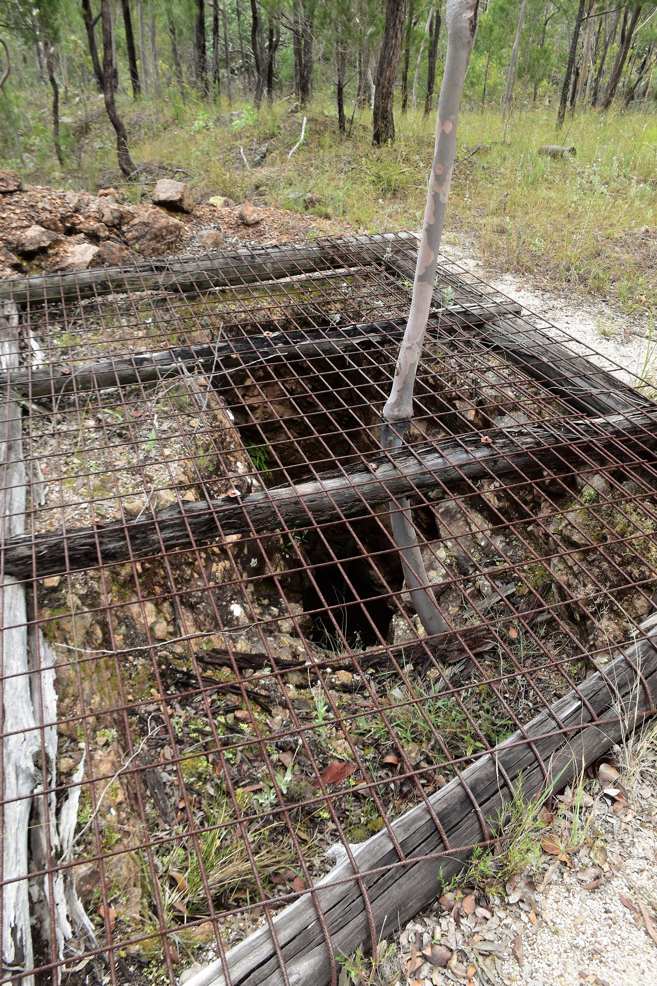
Most of the open shafts were fenced.

Climbing solidly up to a saddle.

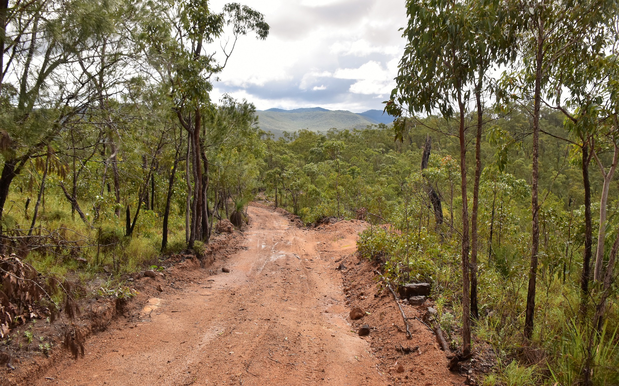
I soon picked up the first of a series of 4wd tracks that I would follow today. 

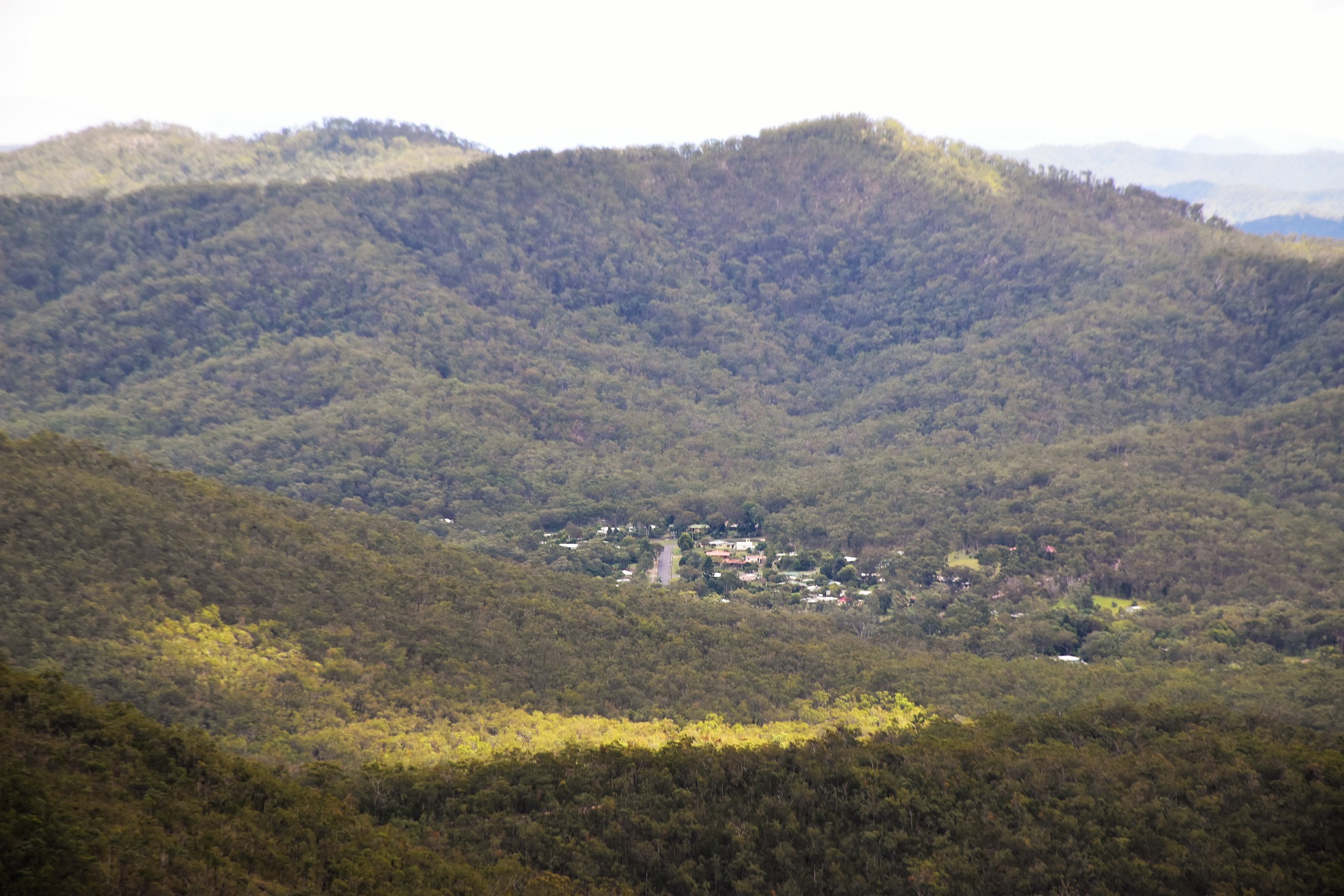
Early on I got a few glimpses back down to Herberton through the tress.

I now started a long ridge line traverse, although this ridge was anything but flat as I tobleroned along the track. I was walking a 4wd track now and it was along here, in the pouring rain, that I had my only human interaction for the day when trail bike and a quad bike motored past. After around 90 minutes of trudging along, mostly in the rain now, I arrived at the side trip to Stewart Head and with another good weather window over me I swung left (east) and started the climb up to the summit. This final climb was a real ball breaker, however with the sun now out at least I was able to stop and take in the ever expanding view while I waited for my heart rate to drop back down into the green zone.

As far as walking a 4wd track goes this one wasn't too bad I guess. 

Stewart Head in the distance. 

This track was a bit slippery after all the recent rain. 

The final pinch up to the summit of Stewart Head was steep...

... so I was looking for any excuse to stop.

Apart from a fairly average looking trig the summit of Stewart Head has two notable things going for it, the first thing is the great view, the second thing is the homemade swing that seems to swing out into the great view... yes, you'd want to take your brave pills if you really wanted to get this swing rocking I think. After enjoying a nice lunch sitting on the swing I grabbed my pack again and set off for the ute, the walk back to the ute retraced my track down off Stewart Head before swinging left (south-west) and starting a very nice descent.

The Stewart Head Trig was a little underwhelming...

... however the view made up for it somewhat. 

The Atherton Tablelands from Stewart Head.

Those mountains in the distance are some of the highest in Queensland. 

I could even get a glimpse of Herberton from the Stewart Head Summit. 


It was while dropping down this easy descent that my weather window disappeared again and I found myself once again trudging along under a tropical downpour (at least it was warm). Arriving at an over flowing dam I swung north up an un-marked track and then shortly after kept right to follow an old grassy track. I was now looking for the site of the old Bradlaugh Tin Mine and I was only mildly confident that I was heading the right way, although thankfully at about the same time that the sun came out again I spotted the huge mullock heaps left over from the old mine. There is a lot of left over history at this old mine, everything from mining claims that the trees are slowly reclaiming, to open but flooded mine shafts as well as numerous pieces of equipment rusting away in the scrub.

Conditions were pretty good by the time I left Stewart Head...

... although it didn't look like it would last long. 

Why does it always seem to be pissing down at the very time that I need to pull my map and notes out?

After poking around the old mine for awhile I dropped back down to the dam and continued on south (the sign posting is a little hit and miss on the back half of this walk). I was now looking for a track climbing away on my right and eventually I spotted the right spot...although you really need to be concentrating on navigation here as it feels all wrong. Once I'd located this old track things became pretty obvious again although the climbing again slowed me down a bit. Thankfully this was the last solid climb on my days adventure and after avoiding a track on my right I started a long descent.

The old Bradlaugh Mine was a little tricky to find. 

Bradlaugh Mine.

That's one wet pack!

The flooded shaft of the Bradlaugh Mine.

Mullock Heaps at the old mine.

I'm guessing that these old blazes were mining leases?

Bradlaugh Mine.

I was now starting to drop down towards Herberton again and this bit of the walk was a nice section. The sun was now out again and all the rain had charged up the ephemeral creeks so they were cascading down the gullies. My route now swung onto a more major dirt road before shortly after morphing into a bitumen road and entering the outskirts of Herberton. This old town is full of old miners cottages and quaint old buildings and is definitely worth checking out I think, my route took me down to the main street before once again climbing gently, now up John Street, back up to the Herberton Mining Museum. 

Herberton Range State Forest.

I'm soaking wet however it looks like the suns coming out again. 

The back half of this stroll isn't very clearly signposted. 

This very vague and un signposted track felt wrong - but was right. 

I passed by these old cairns at one stage - I've got no idea off their significance.

The creeks were all flowing well today, a situation that wouldn't be that common up here I think. 

The Dirt.
According to my GPS I walked around 14.9 kilometres and climbed about 808 metres on what I'd call a medium-hard grade stroll. There are a few things to consider about this stroll. The first thing is that there is a fair bit of climbing involved. The second thing is it can get hot in these hills and while the creeks had water in them today and I was whinging about the rain these conditions aren't common, it's more likely to be hot and dry. The third thing to think about is the navigation, the outwards route to Stewart Head was pretty easy to follow, however the loop back was very vague (the side trip to Bradlaugh Mine is completely un-signposted). I used the notes and map out of the Woodslane book Best Walks around Cairns & the Tablelands as well as my Alltrails App and my GPS topos.


Relevant Posts.


Walking through the outskirts of Herberton. 

I was climbing right up to the Mining Museum.

It was just after Anzac Day.

Next to the Mining Museum is this park celebrating early European explorers.

Back at the Herberton Mining Museum - time to head home (well, back to our holiday apartment anyway).


Pelion Hut to Mt Ossa return, Overland Track - April 2010

Mt Oakleigh from the Pelion Hut heli pad. I think the mountain just visible in the mist in the distance is Cradle Mountain... ... the flat t...