I haven't actually done a walk for a few weeks so I figured that it was about time that I got my arse off the couch and ventured out into the Melbourne weather, and what better way to appreciate the weather than do a beach walk. There was method to my madness (well at least in my mind) as I figured that I might get some good shots of the clouds coming in over Port Phillip Bay, so instead of blue skies the post could feature brooding dark clouds, well that was the plan. With one eye on the weather radar I decided to head down to Anthony's Nose on the Mornington Peninsula between Dromana and McCrae, looking at the incoming rain I hoped to get an hour or so of walking before it turned miserable.
 |
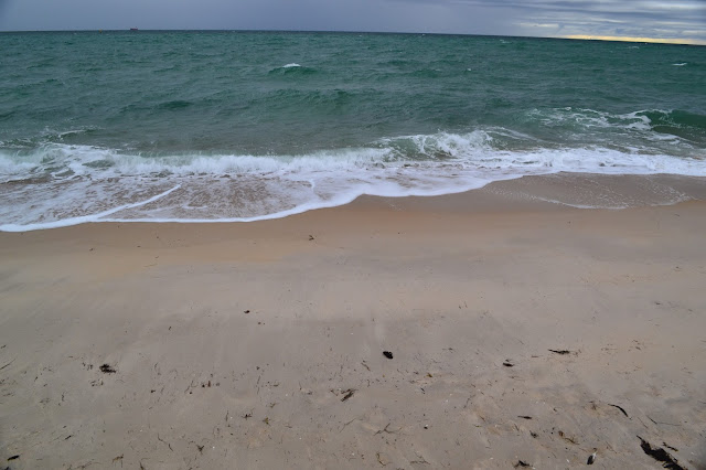
Waves breaking over the sea wall at Anthony's Nose.
 |
| If you look closely you may make out some of the buildings in Melbourne's CBD in the top right of the photo. |
|
Anthony's Nose is where the ridge that leads up to Arthurs Seat and Red Hill meets Port Phillip Bay, squeezing the Nepean Highway right onto the coast, its also the spot where you can start or end the Two Bays Track that leads over to Cape Schanck, today however I was heading in the other direction, north. Parking the ute the first thing that I noticed was that the waves were breaking over the sea wall, the second thing was that it was bloody cold with the wind coming in off the water, so rugged up like Mawson (except that I was wearing shorts!) I wandered off towards Safety Beach.
 |
 |
| The gravel path weaving its way along the fore shore between the boat houses. |
|
Now this isn't going to be a post about torturous paths and navigational hardship, I basically walked north until I got to the Safety Beach Marina and then turned around and walked back, retracing my route isn't my favourite type of walk but what do you do, I couldn't find any victims companions silly enough to come with me and provide another vehicle, at least the changeable weather added some interest on the return journey. As I followed the crushed gravel walking/cycling path towards Dromana I could see that I wasn't going to get far before it got wet, as I was weaving my way north on the good path between the boat sheds it started to rain, and by the time I got twenty minutes into the walk it was time to put the DSLR away in the dry bag and dig out my little waterproof camera.
 |
The weathers deteriorated a bit.
 |
| Dromana |
|
Arriving at Dromana Jetty it was now officially 'pissing down' I still ventured out a little to see if there was anything to see, looking back towards Dromana from the jetty revealed a grey and drab scene, seaside towns in the winter rain always seem to have a bit of a melancholy feel about them I think. After tossing up in my mind whether to pull the pin and head home or keep going, I decided to push on and see what the day would reveal. From Dromana the path stays on the foreshore reserve and the boat sheds thin out a little, I was now sloshing my way along through the puddles on the track having long since decided that I wasn't going to be heading home with dry feet. Sheepwash Creek and Dunns Creek provided some photo opportunities as the water flowed over the sand towards the bay, but my skills behind the shutter couldn't do much with it.
 |
I wasn't going home with dry boots today.
 |
My destination was basically the start of the cliff line.
 |
| At least the top half was dry! |
 |
| Dunns Creek making its way into Port Phillip Bay. |
|
|
Nearing the Safety Beach Marina the weather started to improve a little over the bay and by the time I'd got to the turn around point on my walk I was able to dig out the DSLR again, it wasn't exactly balmy but at least it wasn't hosing down anymore. After checking out how I might cross the dredged channel at the Marina for future walks, (the road actually goes through a tunnel under the channel but I've never been able to work out how beach walkers could get past with no bridge, the answer was a lift that drops the walkers down to another tunnel and then another lift on the other side to bring you back up to sea level again, if that makes any sense) I turned around and started back.
 |
Hey, hey, is that sun!
 |
 |
| The entrance to the road tunnel under the channel for the marina. |
|
|
My first stop on the way back was at a sculpture marking the spot where William Buckley rested on his journey to the Bellarine Peninsula after escaping from British custody near Sorrento in 1803. After escaping Buckley made his way around the bay before living with the local aborigines for years, after more than thirty years he once again made contact with the British. They must of been amazed at his story as they pardoned him, he then worked 'legit' jobs until he passed away in Tasmania just over twenty years later. William Buckley was the inspiration behind the Aussie saying 'you've got Buckley's' which I've heard once or twice. A weak sun was now poking in and out of the grey clouds as I headed back down towards Dromana, I was able to get a couple of photo's of some banksia's (wouldn't be a normal post without them) and I also mucked around getting a shot of a drop of water on the end of a casuarina leaf, eventually I started to get a bit chilly standing still so I made a bee line for the beckoning cafes in Dromana.
 |
The sculptures marking the spot where William Buckley rested on his journey around the bay to the Bellarine Peninsula.
 |
There is no shortage of colourful boat sheds on this stroll.
 |
How about some more clouds.
 |
| Looking north towards Mt Martha. |
|
|
|
Leaving the foreshore for the first time I wandered along the almost deserted shopping strip, eventually finding a likely looking place called 'Felix' a combination antique shop and cafe, it proved an inspired choice and I settled in for a while to thaw out and do a bit of reading. With the owners wanting to call stumps and shut up I decided that it was best if I headed off, lest they mistook me for an antique. Once back out in the weather I strolled back over to the foreshore near the jetty, getting a photo of a crested tern that was resting on the jetty for awhile. Anthony's Nose was clearly in sight now as I made my way back the last kilometre or so towards the ute, the late afternoon light providing more opportunities to stop and take photos. Once back at the ute I chucked my gear in the back but instead of heading home I decided to hang around for a couple of minutes on the off chance that I would get a bit of a show at sunset, with a slight break in the clouds out to the south west I was rewarded with a pretty good show by mother nature, a fitting end to what had been a really enjoyable day.
 |
How about some close ups.
 |
 |
Lichen on a banksia tree.
 |
When in Dromana the feral walker chooses to drink coffee at 'Felix'.
 |
| A crested tern sheltering on the Dromana Jetty. |
|
|
|
|
The Dirt.
I walked 15 kilometres on this walk, don't ask me how as its only about 6 kilometres each way, it was probably because I was wandering around like a drunken sailor checking things out and taking photos. Even more surprising I climbed 63 metres on the walk, now considering the foreshore is about 2 metres above sea level I find that a little hard to believe, but that's what the GPS said. The track is wide crushed gravel, with a couple boardwalks and bridges thrown in to add interest. I referenced the notes out of 'Walks of the Mornington Peninsula by Ken Martin', my stroll was based on walk number 50 in his book unfortunately he doesn't have a web site to link. Obviously warmer weather would be better for this easy walk so long as you don't mind company, Safety Beach used to be called Shark Bay in ye olde days, but now days probably should be called 'Jet Ski Bay' as in the warmer weather the water and beach is infested with them, I think I'd rather risk swimming with the sharks! If you want a two day walk you could link this walk with
the Two Bays Walking Track.
 |
| Late afternoon lighting up the coast back towards Safety Beach from Anthony's Nose. |
 |
| Anthony's Nose. |
 |
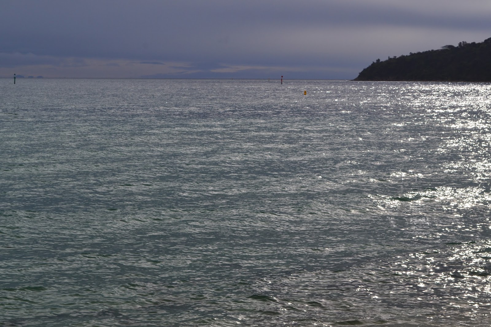
| The You Yang's across Port Phillip Bay. |
 |
| You wouldn't think that it was around 8 degrees C. |
 |
| I'm glad I waited a few minutes for this. |
 |
| Quite a good end to a surprisingly enjoyable day. |


No comments:
Post a Comment