 |
| Yep, it was that kind of day. |
I’ve been avoiding returning to walk up at Lake Mountain for along time. With all the Snowgums torched in the big fires of 2009 the thought of walking through all the petrified skeletons of the old trees has been a bit to depressing for me (incidentally that is also why I waited so long before walking the AAWT). With more than ten years having slipped by since the fires I figured that I might head back and see how the bush was recovering. The forecast of some early season snow could only help what I feared would be a walk through a tunnel of regrowth.
I was on my way pretty early this morning, leaving home just after 5am and travelling through the pre dawn suburbs. Climbing over the Black Spur in the steady rain, just as the sky started to lighten up I was really starting to question my sanity a little, wondering why I’d crawled out of a warm bed to go for a long walk in the rain. Passing through Marysville I questioned my sanity even more when I realised that I was so early that I couldn’t even get a life sustaining coffee at the bakery. Arriving at Gerratys Carpark at Lake Mountain at 7:30am I was greeted by a grey and miserable scene, light sleety rain and a temperature of 1˚, looking at the forecast it wasn’t likely to get any better either.
 |
It was too early, too cold, too wet and too miserable...yep must be time for a Feral walk!
|
After pulling on all my wet weather gear I trudged off into the gloom, well, that was after I found my way onto the correct track. Being a cross country skiing mountain there are tracks heading off in all directions up here and while there are that many tracks that you can normally find one heading in the direction you need to go. However picking up the
exact track that I was looking for was a little more difficult. Passing between the two big buildings I followed some rough ski trails up behind the buildings and, after some GPS and map work (always enjoyable in the cold rain) I was mildly confident that I was climbing up the Echo Flat Track.
 |
I headed off between these two buildings.
 |
| I was mildly confident that I was on the right track. |
|
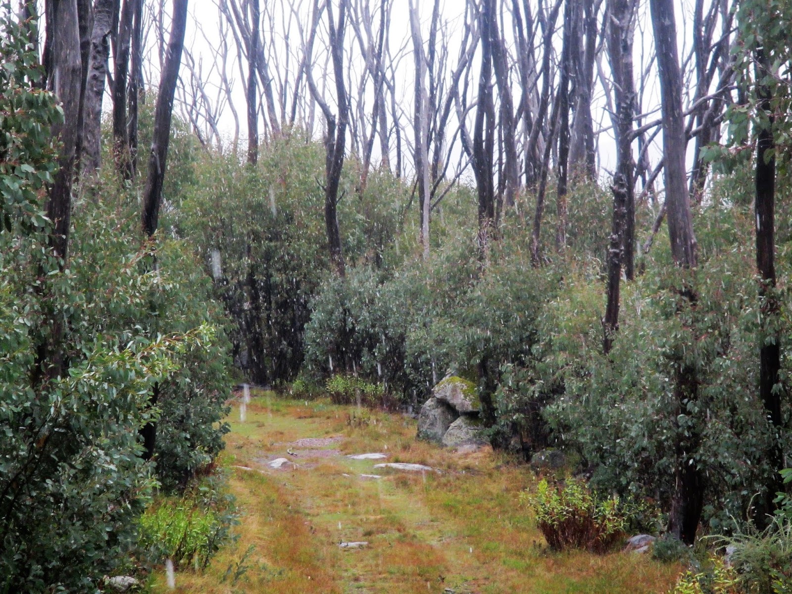
Echo Flat Track climbs fairly easily up to Echo Flat (surprisingly enough) an open area with a few nice tarns scattered around. As I’d feared before my visit I was thinking that walking through a wall of regrowth may have been a little depressing and without any real snow on the ground things were indeed a little scrappy, although Echo Flat was probably the scenic highlight of my journey. I’ll stick in a link at the end of the post of the same walk when Sam and I did it back before the fires, the difference in the vegetation is very noticeable. The Snowgum regrowth is now two or three metres high so extrapolating forward I suppose in another 10 years they should be getting fairly impressive again - providing that we don’t get another fire go through….?
 |
Echo Flat
 |
| Echo Flat Trail - the snow got a little heavier for awhile. |
|
Leaving Echo Flat I trudged on into the sleet, the good news was that the sleet was now tending to snow so I wasn’t getting soaked to the bone, although my boots have obviously seen better days as my feet were already wet. I now followed a convoluted series of tracks, first towards The Gap, then to Triangle Junction and finally down to Crossways. While I was sometimes not overly sure that I was on the exact track that I wanted to be on at least most of the track junctions are fairly well signposted and the major intersections also have maps, so there was no real danger of getting too geographically embarrassed. Dropping down towards Crossways I picked up the short side track out to the Rock Lookout, now unsurprisingly there wasn’t a lot in the way of long range views this morning although there was a lightening in the sky off to the east and at least I was out of the somewhat claustrophobic regrowth.
 |
The Gap
 |
My boots have seen better days.
 |
| The Rock Lookout. |
|
|
After passing through Crossways I picked up Panaroma Trail and started climbing a bit, the snow reduced to the occasional shower passing through now. I was now slowly climbing up to the highest spot on the Lake Mountain Plateau so arriving at Panaroma Lookout you’d normally have a good view, apparently Mt Torbreck and even The Bluff are visible from up here on a good day. The views were still a little limited this morning though, like at The Rock Lookout earlier I could see a little lightening in the sky off to the east but really that was about all I could see here.
 |
The view from Panorama Lookout was a little limited this morning.
 |
| Panorama Lookout |
|
After leaving Panaroma Lookout I continued to climb gently, picking up the Hut Trail and heading out to the site of the old Boundary Hut and Bullfight Lookout. The track out here crosses a few small snow plains and the open plains with their brown grass sprinkled with a light covering of snow made for some nice walking. Arriving at the ruins of Boundary Hut I was at the highest point on the Lake Mountain Plateau, at 1480 metres it’s a fairly high point by Australian standards and it’s actually 47 metres higher than the official Lake Mountain summit which is down near the southern end of the plateau. There isn’t much left of Boundary Hut, although I suppose the stone walls would provide some shelter to pitch your tent behind if you needed it. With the weather closing in a little I didn’t even bother making the short side trip out to Bullfight Lookout this morning, visibility was now probably only a 100 metres or so.
 |
Climbing up the Hut Trail.
 |
The tracks get a little less defined the further from the resort you venture.
 |
The ruins of Boundary Hut.
 |
| Boundary Hut/Bullfight Lookout is the highest spot on the Lake Mountain Plateau. |
|
|
|
I now continued on a little loop around to the north before dropping back down onto Hut Trail again, as I mentioned the weather was once again closing in on me again so I was now walking through the occasional snow shower as I started to head back in the direction of Gerratys Carpark. My walk back to the ute was part retrace, part different tracks. I retraced my route back down to a signposted track junction between Triangle Junction and The Gap and then headed down (south) Muster Trail.
 |
The short loop walk around Boundary Hut is a nice stroll.
 |
Heading back down Hut Trail.
 |
Hut Trail
 |
| Hut Trail |
|
|
|
Muster Trail largely parallels Echo Flat Trail a little further to the west on the Lake Mountain Plateau and was pretty easy and slightly shorter way to finish up my walk. The weather was now deteriorating a bit more and as I dropped back down towards Gerratys I walked through the heaviest snow flurry of the walk. Not that the weather was worrying me much now, I wasn’t far away from the warmth of the ute and the walking down here was actually pretty good for the most part, Muster Trail heading down past some nice granite boulders and across the headwaters of the Taggerty River which drains Echo Flat.
 |
Heading down Muster Trail the snow flurries got a little heavier.
 |
The walking on Muster Trail wasn't too bad actually.
 |
| Muster Trail |
|
|
Eventually the buildings at Gerratys came into view through the misty rain and my mornings stroll was over. Standing under the eave of one of the buildings to keep out of the rain I grabbed my keys out of my pack and surveyed the drab scene before me. There were a few more people up here now but really the grey misty conditions and ‘construction site’ feel of this place wasn’t doing a lot for me. Heading over to the ute I threw all my wet gear in the tray, cranked up the heater and headed off to get that life sustaining coffee that I’d been looking forward to for a few hours.
 |
The closer I got to Gerratys the less inspiring Muster Trail got.
 |
| Back at Gerratys...time to find myself a coffee. |
|
The Dirt.
Now my cunning plan today had been to head up here when there was a bit of snow about, a plan that largely failed. My theory being that the scrappy, regenerating scrub would look better with a bit of the white stuff around, a theory that I still think is about right. The problem with my theory is that once the official ski season starts it costs a fortune to park up here, now that is probably ok if I wanted to use the resort facilities but all I generally want to do is to head bush. So anyway what that means for me is that any walks that start or finish at any of our ski resorts I try and do either before or after the official season, which also means that snow conditions can be somewhat marginal.
Today I walked 13.9 kilometres and climbed around 320 metres on what I’d call a medium grade stroll. Obviously with this being an alpine area you need to have some decent wet weather gear if walking up here, particularly in the colder months. The tracks up here are largely well signposted and clear, although the further from the resort that you get the less so that is. I was more or less following Mr Tempest’s notes out of his old 2005 edition of Daywalks Around Melbourne and the old notes and map are still accurate enough to complete this walk safely.
Relevant Posts.
 |
| Your fairly wet, cold and underwhelmed Feral correspondent. |


No comments:
Post a Comment