 |
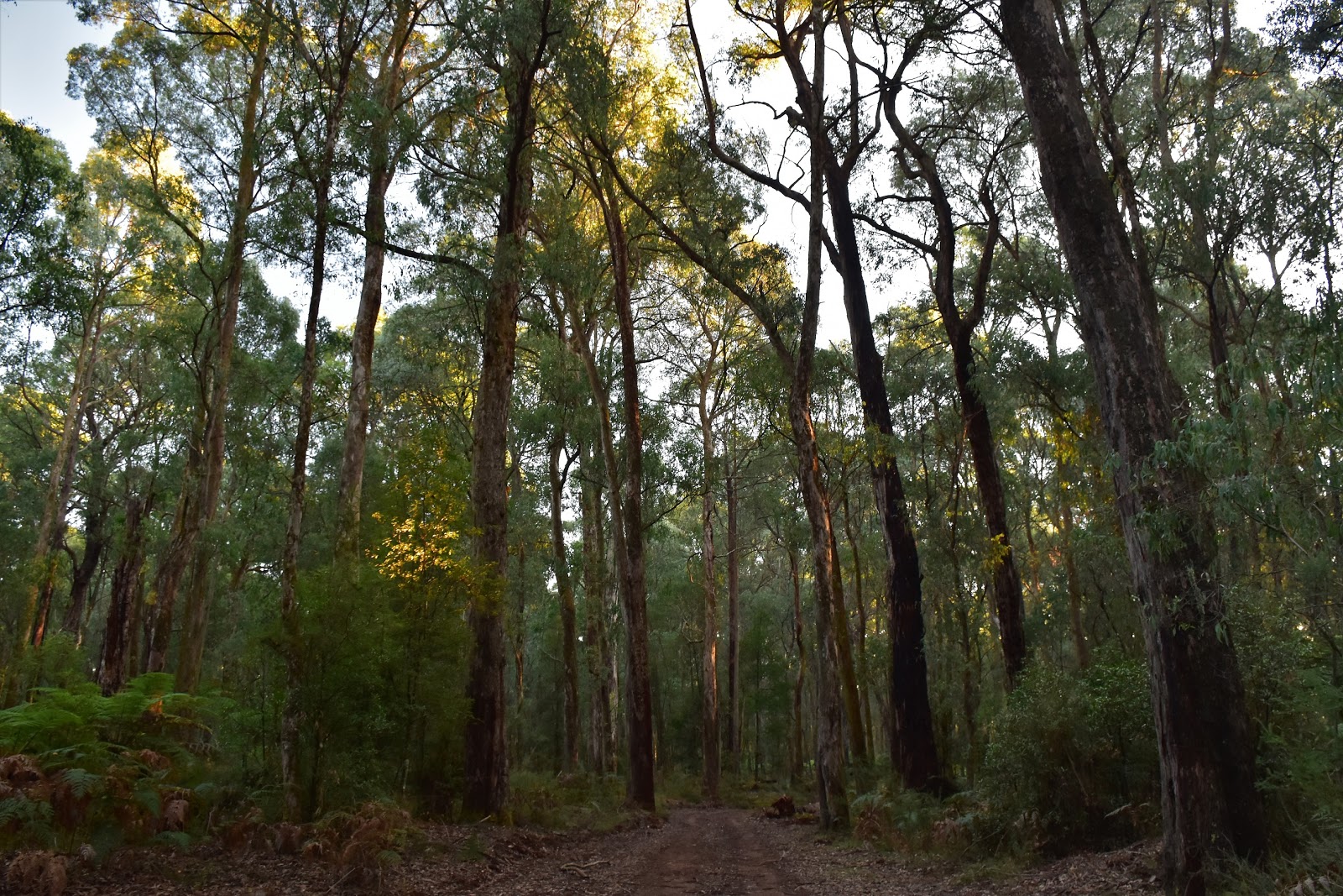
| Early morning walking on Dom Dom Road. |
A little while ago I mentioned a guy by the name of Warren Meyer in one of my posts, Warren was an unfortunate bushwalker who set off for a fairly easy half day of walking and never returned. Warren’s fate has never really been cleared up, there are all sorts of theories out there from plain old misadventure to the more sinister foul play theories. Without knowing any of Warren’s personal circumstances it’s hard to comment on the likelihood that he staged his own disappearance. What doesn’t seem likely is that it was misadventure though, a fairly easy half day walk on tracks for an experienced bushwalker is a pretty low risk day out. Speculating a little, I suspect that Warren happened to be in the wrong place at the wrong time, maybe running into illegal shooters or someone nervous about their illegal crop.
 |
| Hermitage Track drops off into the trees behind my ute. |
So, parking the ute beside the busy Maroondah Highway in a small parking bay, I set off down Hermitage Track with Warren on my mind, this area being the location that Warren was last seen alive. The other reason that I was thinking about Warren Meyer was the fact that on this walk I was heading into an area that doesn’t see many walkers any more. While Monda, Morley and Condons Tracks still see a lot of walkers and have been written about in current walking guide books (and on my blog) I was heading down Dom Dom Track today on a walk that, from what I can see was last put into print back in one of Tyrone Thomas’ old books in 1998.
 |
Dropping down Hermitage Track - it was a fairly early start again today.
 |
There are some advantages to an early start.
 |
| It was while dropping down Hermitage Track that I got my first look across to Mt Dom Dom. |
|
|
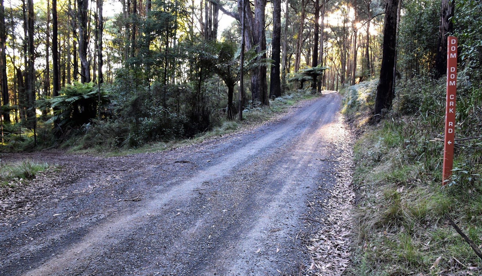
After dropping easily down Hermitage Track and crossing the small Dom Dom Creek I met Dom Dom Creek Road, turned right and started climbing. The climb up Dom Dom Creek Road is probably the hardest section of this short walk, although at less than 1.5 kilometres in length it’s hardly a long climb. The main reason that I like walking up here so much is the towering Mountain Ash Trees and the climb up Dom Dom Creek Road this morning provided all the excuses that I needed to stop and take it all in. Reaching Dom Dom Road I took a short side trip out to the Dom Dom Saddle Picnic Area, happy to see that the damage that had been caused by one of my 4wd brothers doing circle work on the grass had more or less disappeared since my last visit.
 |
Climbing up Dom Dom Creek Road I had all the excuses I needed to stop for awhile.
 |
Dom Dom Creek Road.
 |
| Dom Dom Picnic Area - last time I was up here (or maybe the time before?) some tool had been doing circle work on the grass. |
|
|
Leaving the Dom Dom Saddle Picnic Area I now started off on a long circumnavigation of the nearby 730m Mt Dom Dom. I was now following Dom Dom Road, first across a high timbered saddle that offered some glimpses through the trees down the the fog covered Acheron Valley and then sidling the southern slopes of Mt Dom Dom. Approaching Mt Dom Dom I could see that the mountain’s south eastern flank had been clear felled and before long, a pile of litter beside the track signalled my arrival at the deserted logging coupe. I don’t think that there is a shittier sight than a clear felled logging coupe, especially one in a Mountain Ash forest, so needless to say I didn’t linger here long this morning.
 |
Dom Dom Creek coming in from the left, I was heading down Dom Dom Road straight ahead.
 |
The Acheron Valley was still cloaked in fog.
 |
Dom Dom Road makes for nice walking - mostly.
 |
Dom Dom Road.
 |
Dom Dom Road.
 |
The guys mustn't have room in their utes for their rubbish!
 |
| This is a little jarring. |
|
|
|
|
|
|
Pushing on, my track started to drop down the side of a ferny gully before more or less bottoming out where Dom Dom Road swung around to start heading north. Now I have to say the signposting on the walk can be a little hit and miss, being a working forest there is no shortage of old tracks around heading off into the scrub at random tangents. The go along here, if anyone decides to follow me, is if in doubt stick to the more major track which should be Dom Dom Road, well stick to the main track until you walk past Fishers Creek Track anyway. Fishers Creek track comes in on the right and is a fairly important navigational way point, the good news here is that the track is sign posted and it’s also where I started to see BNT way markers, so it’s fairly easy to identify.
 |
Thankfully there is only a couple of hundred metres of the walk really badly affected by the logging coupe.
 |
Dom Dom Road.
 |
Dom Dom Road.
 |
I was now passing along the eastern slopes of Mt Dom Dom.
 |
Dom Dom Road.
 |
| Dom Dom Road. |
|
|
|
|
|
A couple of hundred metres after passing Fishers Creek Track I picked up the very old, overgrown Hermitage Track heading off to the left (west). This is why it is important to identify Fishers Creek Track as the start of the old Hermitage Track is vague. The track starts in the scrub behind an informal camp, a couple of very old blackened cut logs being a bit of a hint that I was in the right spot. Once on the old track the going was pretty good really, actually I’d say it was the best walking of the day as I made my way along the single track. The forest on these northern slopes of Mt Dom Dom is a lot drier than most of the rest of the walk so even though things were a little on the overgrown side it wasn’t too bad pushing through it.
 |
I headed west (left) here off Dom Dom Road onto the old Hermitage Track. There is a small yellow BNT marker on the Stringybark 15 metres further down the road that is a good reference point.
 |
Hermitage Track is more like your typical bushwalking track ... once you find it.
 |
| The forest is a like drier on these northern slopes of Mt Dom Dom, well relatively anyway. |
|
|
After twenty minutes or so I emerged from the scrub back onto Dom Dom Creek Track again, to almost immediately leave it and head off up the continuation of Hermitage Track (now a clear dirt road). I was now meandering my way back up the track that I’d come down this morning, this track is a red clay based road so I’m guessing in the wetter weather things would be pretty slippery along here but this morning everything was pretty sweet on my climb. With the sound of traffic on the busy Maroondah Highway getting louder I climbed the last few metres and arrived back at the ute, happy to be safely back after another interesting stroll.
 |
Dom Dom Creek.
 |
| You've got to like your trees to consider this walk. |
|
The Dirt.
According to my GPS I walked 13.6 kilometres and climbed 466 metres on what I’d call a medium grade walk. This is a walk to consider if you like Mountain Ash trees and have walked the more popular tracks in the area. The walk is generally pretty good although it’s spoilt a little by the logging in the nearby area, once away from the logging coupe everything is pretty good. Navigation needs a little concentration on this stroll, especially picking the spot to turn of Dom Dom Road onto the very overgrown Hermitage Track. I used the notes and mud map out of the 1998 edition of Tyrone Thomas’ 120 Walks in Victoria book and also used Rooftops
Yarra Valley - West Gippsland Adventure Map.
Relevant Posts.


No comments:
Post a Comment