 |
| Catch Drain Trail. |
I've been thinking of going for a bit of an exploratory walk down at Devilbend Reservoir for awhile, in fact I'd actually tried to get here one afternoon only to find both access roads closed for roadworks. Now I say it's an exploratory walk as there really isn't a lot of info floating around about walking down here, however I did manage to find some notes and a map on line that suggested that a decent length circuit walk would be possible so I was set. Back in the day Devilbend Reservoir was used to hold water to distribute around the Mornington Peninsula however I think that the opening of Cardinia Reservoir saw this little reservoir decommissioned, now days it's a public park and waterbird reserve.
 |
There is a nice picnic ground at the sort of this walk.
|
I decided on a clockwise circumnavigation of the lake this afternoon and to ramp up the degree of difficulty a bit I thought that I'd head around the smaller adjacent Bittern Reservoir as well. It's been a few years since I've been to the picnic ground at Devilbend Reservoir and things have changed greatly since my last visit. On my last visit this was a very run down spot with a dirt car park and a couple of old picnic tables however now there are some modern toilets, picnic tables, a shelter and BBQ as well as plenty of signage. Heading over to the sign I checked out the map, deciding that Daangean Trail was heading off in the direction that I wanted to go I shuffled off away from the car park.
 |
Daangean Trail is well signposted.
 |
Daangean Trail
|
|
My walk followed a wide trail south through some Radiata Pines to start with and with most of the tracks here being duel use the walking was pretty easy. After heading south for a few minutes and avoiding any tracks to my right the blue waters of the reservoir came into view ahead of me. Now I think the
sensible option here would of been to veer left and follow Daangean Track through an avenue of pine trees however I'd come here for water views so I decided to drop down to the waterline. Once on the waterline I was easily able to make my way along the shoreline east taking in the expansive views and all the waterbirds enjoying this peaceful spot. There was an issue though, after walking half a kilometre or so I still hadn't met a track that would link me back up to Daangean Trail that was running parallel to me up in the pines and my shoreline amble was starting to get a little rough. Eventually I decided that I'd just have to scrub bash through the shrubs and pines for 100 metres to get back on track, and so it was - re-joining Daangean Trail in the pines near the Devilbend Humpy.
 |
Devilbend Reservoir
 |
| There is a lot of bird life at Devilbend Reservoir. |
 |
I followed the shoreline east for five minutes or so....
 |
....before scrub bashing my way through the pines to pick up Daangean Trail again...
 |
| ...near the Devilbend Humpy. |
|
|
|
Back on Daangean Trail the going was again very easy as I headed through the pines to emerge into the sunlight at Loders Track. Once I reached Loders Track I turned right and followed this arrow strait track south, the country now a little more open with some cleared rural paddocks visible to my left. Just before reaching the shoreline again Loders Track swung 90˚ to the left and headed towards a big dam, I'm not actually sure whether this dam is part of the reserve or on private land, however whatever the reason that it's here it's a pretty spot to check out. Leaving the dam I continued along Loders Track for a few minutes, now passing through mostly Australian bush having left the Radiata Pines behind. On meeting Stipa Track on my right I followed it for awhile until I met up with Stringy Track and followed it. Now a quick look at the map might have people assuming that I would be enjoying constant water views, and indeed that was what I'd assumed, however for the most part the water views had been fairly fleeting so far this afternoon.
 |
Easy walking down Loders Track.
 |
There was some cleared rural land off to my left as I shuffled along Loder Track...
 |
...as well as a decent sized dam.
 |
I was starting to walk through more native bush now.
 |
Stringy Track
 |
| Stringy Track - I wonder if the track is named after the Stringybarks? |
|
|
|
|
|
After crossing the gravel Hodgins Road I did get some nice water views for awhile though, although they weren't of Devilbend but of the Bittern Reservoir, still whatever body of water I was looking at it was nice to have some longer reaching views after being stuck in the trees for so long. The initial part of the circumnavigation of Bittern Reservoir is actually along a walking track, as it would turn out one of the few sections of single track that I'd follow all afternoon. Halfway around the Bittern Circuit Track I started to walk along another 4wd track on the edge of a large water race, I'd now follow water races for most of the walk.
 |
Bittern Reservoir
 |
My circumnavigation of Bittern Reservoir started off a little ho hum....
 |
| ...but soon improved. |
|
|
Arriving back at the Bittern Reservoir wall I passed by some old water infrastructure in the form of spillways and sluice gates before picking up another water race and following the snappily titled Catch Drain Trail (they land managers like to keep people on their toes when it comes to the use of
track and
trail I reckon). Catch Drain Trail now took me on a very convoluted journey north west, at times feeling as though I was miles away from the reservoir as I walked through cleared paddocks. Crossing back over Hodgins Road provided the trickiest navigational conundrum of this afternoons walk as instead of continuing straight on on the east side of the water race I had to do a little left - right dog-leg and start following the western bank.
 |
There is some old water infrastructure to check out between Bittern and Devilbend Reservoir.
 |
Following Catch Drain Trail the old water race had occasional sections of water....
 |
....however it was mostly dry.
 |
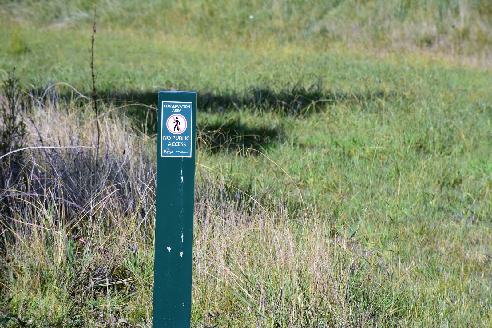
| Catch Drain Trail. |
|
|
|
After leaving Hodgins Road I was once again walking beside rural land for awhile as I climbed a low rise heading straight for the distant water again. Instead of meeting the water though my route veered away at the last minute and instead I continued my contouring journey along the slopes on the western side of the reservoir. While I wasn't getting much more than glimpses of the water through the trees it was still pretty good walking really, especially in the cool of the late afternoon as all the native animals came out for a feed or a drink. A bit over 3 hours after setting off the Devilbend Reservoir wall came into view and my walk was pretty well over, after checking out the old spillway (when I was a kid I always imagined surfing down here on a raft) I crossed the reservoir wall on Graydons Road. With Graydons Road having a 40km limit the walk across here should of been pretty safe however from my Feral observations (sample size of one) it looked like most of the vehicles were treating the speed limit as an arbitrary thing, needless to say I was happy enough to get across and enter the picnic grounds again and finish off my stroll.
 |
After crossing Hodgins Road again I did a quick left/right/left dog leg over a bridge before I arrived at this sign...
 |
....where I left the water race for awhile and climbed this grassy track beside some more rural land.
 |
It wasn't long before I was back on the water race though.
 |
Eventually I crossed to the reservoir side of the water race and headed for the dam wall.
 |
Late afternoon along the water race.
 |
| It was only when I was ten minutes or so from dam wall that I started to get some views of it. |
|
|
|
|
|
The Dirt.
Well what to make of this walk. Firstly it's a fairly long walk, I covered 14.8 kilometres and climbed 99 metres this afternoon on what I'd call an easy-medium grade stroll. The second thing to note is that water views are fleeting generally, there are spots where you can drop down to water level however for the most part the route stays stubbornly in the trees. The third thing to consider is that apart from a small section around part of Bittern Reservoir the route follows management or 4wd tracks for the whole distance, now a lot of these are grass and not gravel however it's still not quite as enjoyable as single track imho. Finally the fourth thing to consider is that there is a lot of introduced flora, everything from Radiata Pines to Blackberries especially on the first bit of the stroll, after that it's mostly native bush with some sections beside rural land. If all that sounds a bit average then there are some nice things about this walk, the reservoirs are home to a
lot of waterbirds and a bit of wild swimming would also be possible, there is also a very nice picnic ground at the start of the stroll and another one near Bittern Reservoir on Hodgins Road. As I mentioned earlier this walk hasn't been published by any walking guide book authors as far as I know of, there is probably enough basic stuff floating around the inter-web to get most people through this stroll though.
Relevant Posts.
Woods Bushland Reserve Walk, 2019.
Ker-Bur-Rer Walk, The Briars, 2019.
 |
| I remember driving over the wall when I was a kid and thinking how much fun it would be rafting down the spillway (decades before water parks started to appear). |
 |
| This was probably the dodgiest section of this afternoons stroll - there is a 40 kmh limit but no one pays much attention to it and there is nowhere to go to get off the road. |
 |
| After crossing the wall I was happy to see this pedestrian gate allowing my access to the picnic area. |
 |
| Devilbend Reservoir Picnic Ground. |


No comments:
Post a Comment