
Hardstaff Creek joining the River Leven.

I set off from Penguin on the north coast of Tasmania - that's Bass Strait behind me.

Penguin features it's own... Penguin.
So after spending the previous day driving around northern Tasmania, leaving food and supplies at various accommodation options, Sam dropped me off this morning at the track head near the Penguin tip, bright and early. The early start was as much for Sam as it was for me as after dropping me off she had to get back to Devonport to catch the morning ferry back to Melbourne. We had stayed at Wings Wildlife Park the night before so I was able to leave my big overnight pack there and walk the first section with my daypack, always a good thing however I still had a fair walk in front of me today.

Saying goodbye to Sam at the start of the Penguin Cradle Trail. The PCT is a volunteer run track and things are mostly fairly low key.
After an easy 30 minutes up to the turnoff to The Dial, the Penguin Cradle Trail (PCT) bared its teeth. As I dropped into the valley of Keddies Creek it became obvious that there had been a massive wind storm in the area recently. For the next 2kms I found myself climbing under, over, or around massive tree falls. Frequently I found myself abandoning the official route to make my way down via the route of least resistance through the tangle of trees. As the track markers were nailed to the trees, and a lot of the trees were now lying at right angles randomly around the hill, it paid to keep an eye on the map!

Signage and track marking can be a little hit or miss... although overall things were pretty good.

While my old camera (and its driver) had its limitations in some ways, the macro was good.

Dropping down to Keddies Creek things got fairly rough...

... with plenty of fallen trees.
It was with some relief that I reached Dial Rd and then shortly afterwards the River Leven, the next 3.6 kilometres were along an old abandoned tramway beside the river, this flat and relatively easy walking made a nice change after the gymnastics of dropping down to Keddies Creek. Just before I reached Hardstaff Creek near Foggs Flats I met a fence, this signalled the spot that I had to climb beside the fence to meet a fire track which I then immediately descended back down to the river, and thus avoided some privately owned land.

Once I met the River Leven the walking was pretty easy for awhile.
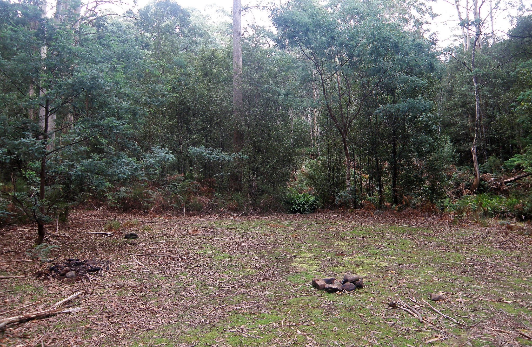
There was a nice campsite near Hardstaff Creek.
I was still feeling pretty fresh (probably due to only carrying a day pack!), so I pushed on past the Hardstaff Creek campsite and decided to have an early lunch at the Mt Lorymer Lookout. The lookout was a solid climb of around 400 metres, however it was well graded track that was clear of scrub and fallen trees so that was a positive thing. The lookout provided views of both Bass Strait and The Dial Range. Off came the gaiters and the boots and lunch was enjoyed taking in the view and calling Sam, as I walk a lot on my own I try to talk or text Sam whenever I get the chance so that she doesn't worry to much (remember this was back in 2010 - well before I had my Inreach). I was lucky from here as not only was I still able to get a signal but Sam also still had coverage from the ferry as it made its way north across Bass Strait.

Leaving the Hardstaff Creek Camp I started the solid climb up towards Mt Lorymer.

The climb eased off when I met the firetrack running along the ridge... it was for an early lunch.

Looking out over Foggs Flat towards Bass Strait from the Mt Lorymer Lookout.
After my early lunch I had another 150 metres of climbing which then saw me at the high point of the days stroll. Now it was time to veer north (left) off the firetrack that I'd been following up the ridge and start to drop into the valley of Adit Creek. Once again I now found myself having to contend with a massive amount of tree fall. Apart from the downed trees it was beautiful walking along Adit Creek, although the track frequently disappeared under a forest of Ferns. Passing a steep descent sign I did indeed make my way steeply down to Walloa Creek. Walloa Creek was a beautiful spot for a rest and a drink, the first spot on the walk that I'd been confident enough to drink the water without any treatment.

Dropping down to Adit Creek the country got a bit damper again.

I bloody well hate climbing over tree falls so I've got no idea why I'm smiling.

The PCT along Adit Creek was fairly overgrown in spots.

The final descent down to Walloa Creek is steep.
Leaving Walloa Creek I had another 150 metre climb to reach a saddle above a pine plantation. Once again I had a mobile signal so I texted Sam to let her know that all was well before descending a somewhat convoluted route around the pine plantation to reach Winduss Road. Once I emerged from the pine plantation on Winduss Road I had a very short walk east to reach my home for the night at Wings Wildlife Park.

Walloa Creek

Dropping down to Winduss Road through around the edges of the pine plantation wasn't totally without it's highlights.

I've just emerged from the pine forest onto Windruss Road... remember that this is a volunteer maintained track that stretches for around 80 kilometres through some extremely rough and rugged country so it must be a handful to keep it well maintained.
I'd made pretty quick time today so after quick shower in my cabin I was able to head down to the cafe for my second lunch. After satisfying my stomach I went for a walk around the Farm/Zoo, it's a small family operation and they have different levels of accommodation, I took a cabin, but you could camp. After soaking my legs in the River Leven for awhile I retired back to my cabin for an afternoon of reading and listening to the rain which was now drumming on the roof, life was pretty good.

Home for the night.

I stayed in one of these self contained cabins (they may not be there nowadays).

The River Leven flows beside the property.

The River Leven at Wings Wildlife Park.
The Dirt.
I walked 19.8 kilometres and climbed 870 metres on what was a hard days walking (although it was made easier by only carrying a small day pack). The PCT starts next to the Penguin Tip under some power lines - it's not exactly scenically beautiful. I'm thinking that next time I do this walk I'll split it over 2 days and start the walk at the giant Penguin down in town. There was a good campsite Hardstaff Creek near where it met the Levin River, apparently there is also another one near Audit Creek although I can't remember it (it was 10 years ago though). The PCT today was a rough walk in spots, the track marking was reasonable although the frequent blow downs meant that long sections of the track had been obliterated. Apart from the fallen trees things were also pretty muddy dropping down Keddies Creek, and pretty steep dropping into and climbing out of Walloa Creek as well as the final descent down to Windruss Road. Wings Wildlife Park is still there although it looks like the accommodation options have changed a bit, it does look like the same owners still run it though and they were pretty welcoming and helpful to me, so I'd definitely go back again.
Relevant Posts.

The cabins were fairly basic however they felt luxurious to me... especially as the rain came down!

The wildlife came out after dark.


No comments:
Post a Comment