
I started my Centenary Trail walk at the front door of Parliament House.


Looking down passed the Foundation Stone towards this afternoons first objective - the Old Parliament House.
The Centenary Trail starts and finish at the front door of Parliament House in a fairly low key way, there is nothing in the way of a trail head or signposting that I noticed. Sam dropped me off on the almost deserted forecourt to Parliament House at around 2:30 pm today, not exactly an early start but I wasn't really anticipating too many issues on this walk. After mucking around a little taking photos and looking for a signposted trail head at Parliament House it was closer to 3 pm by the time I shuffled off, dropping down towards the Old Parliament House. Not only was there no trail head but there was no track marking that I could see either along this first section of the stroll, not that it really mattered as I just wandered down the extensive lawns towards Old Parliament House. Passing the Old Parliament House to the east I continued dropping easily down towards Lake Burley Griffin, passing the Aboriginal Tent Embassy on my left before zig zagging my way past the (highly recommended) National Portrait Gallery and the High Court, before arriving at Reconciliation Place which somewhat ironically is pretty well within sight of the Aboriginal Tent Embassy.

Old Parliament House

The Aboriginal Tent Embassy outside the Old Parliament House.

The National Portrait Gallery.

Heading up to the High Court of Australia.

Reconciliation Place

Reconciliation Place

Approaching Lake Burley Griffin - that's the War Memorial in the distance on the other side of the lake.

Hitting the lake I turned right.
With the day being somewhere in the low 30˚ vicinity I was pretty happy to arrive onto the shore of Lake Burley Griffin, not only because I started to get a bit of a water cooled breeze but I was also able to get some shade from the trees lining the lake shore. After passing by the Sculpture Garden I crossed over Lake Burley Griffin on the Kings Avenue Bridge before once again walking the lake shore, the good news now was that I had started seeing some track markers at some of the key intersections. After following the lake shore for awhile, enjoying the cooling breeze and the shade, I left the water and climbed up past the historic Blundells Cottage to zig zag my way across to meet Anzac Parade at the Constitution Avenue intersection. Turning up the wide boulevard that is Anzac Parade I shuffled my way up the left hand side of the road, not because there was any particular monument that I wanted to see - no, picking the left had side came down to it being in the shade! By the time I reached the top of Anzac Parade and crossed over Limestone Avenue to the Australian War Memorial I was pretty well ready be heading bush and leaving the bitumen and concrete behind for awhile.

I passed by the Sculpture Garden in the grounds of the National Gallery of Australia on my lake side walk.

Alright, this I'll make things a bit easier!

A nice breeze coming off Lake Burley Griffin, some nice shade from the Casuarinas - it was a little hard to leave this spot this afternoon!

The historic Blundells Cottage on the shore of Lake Burley Griffin.

Looking up the wide boulevard that is Anzac Parade, towards the Australian War Memorial.

Anzac Parade is lined with investing displays along both sides of the tree lined road.
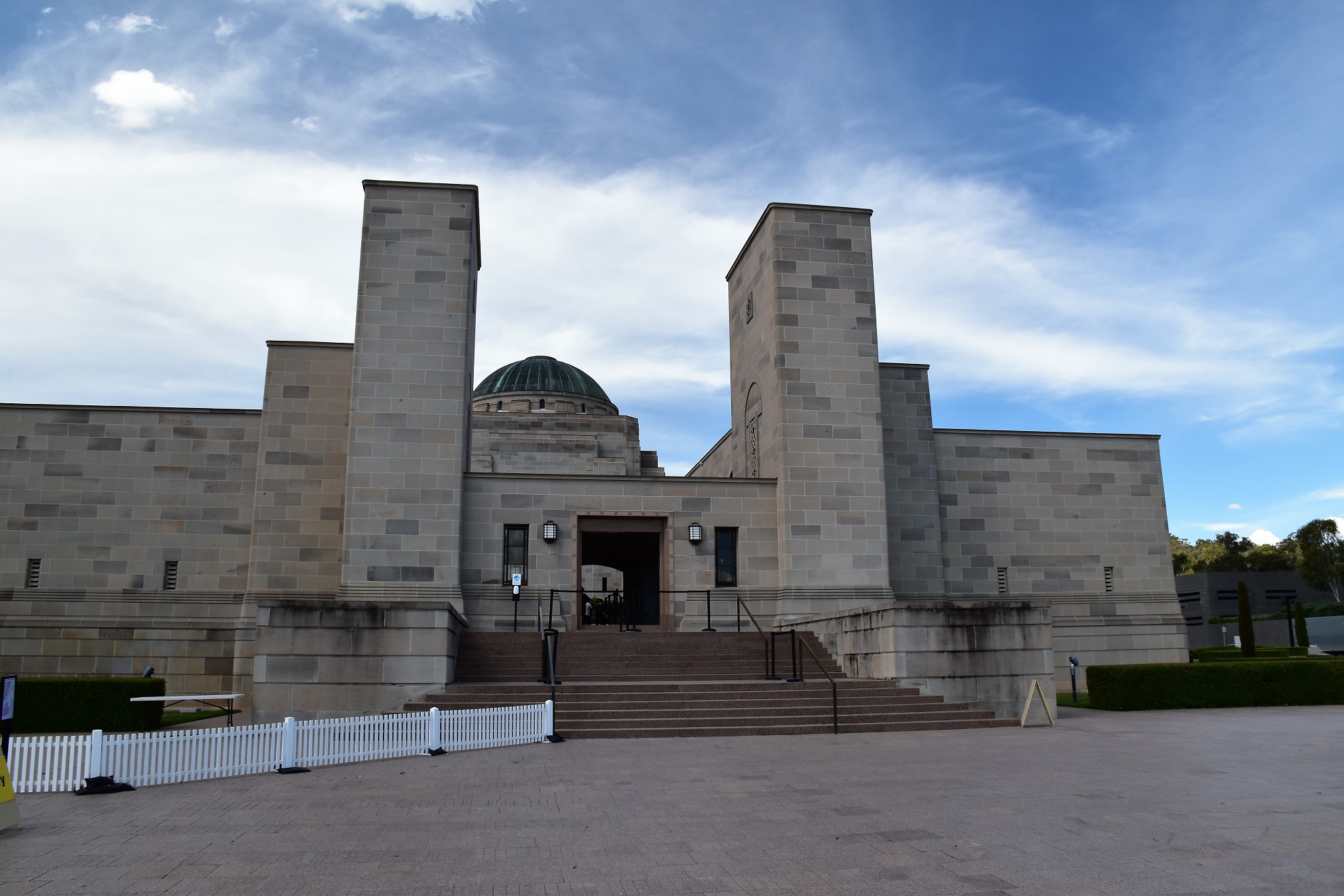
The Australian War Memorial - the Centenary Trail passes the front door.

Looking back across to Parliament House - slow progress was being made.

I'd managed to get a beautiful Canberra summers day for this walk.

I skirted around the war memorial on the right.
After skirting around the war memorial on the eastern side I crossed Treloar Crescent and entered the Remembrance Nature Park - the bushwalking part of today's stroll was about to begin. Leaving suburbia behind I set off to climb Mt Ainslie via the Kokoda Track, now while this Kokoda Track wasn't anywhere near as tough as it's namesake over in Papua New Guinea it's still a reasonable climb, a climb that is punctuated by information plaques that commemorate the more well known spots on the Kokoda Track. After a solid climb in the heat of the late afternoon I was pretty happy to arrive on the summit of Mt Ainslie and find a takeaway food van, and among the other treats on sale was some Gatorade... sweet!

The bushwalking portion of this afternoons walk was about to start.

Shortly after starting my climb of Mt Ainsley I took the short side trip to see the Aboriginal Servicemen's War Memorial.

The Centenary Trail climbs Mt Ainsley via the Kokoda Trail.

It was nice to be out in the bush now.

Mt Ainsley is a solid enough climb.

Rosella

Looking down from the Mt Ainsley summit along the length of my afternoons walk - so far.

Canberra Airport from Mt Ainsley.

My afternoon's next objective - Mt Majura from Mt Ainsley.

The Centenary Trail head dropping off Mt Ainsley.
Reaching the suburban houses on the outskirts of Hackett the Centenary Trail started its climb of Mt Majura.

The Centenary Trail climbing Mt Majura.

Late afternoon climbing Mt Majura.

The summit is getting closer...it's getting late now though.

The last bit of the climb up Mt Majura is on a fairly steep 4wd track.

Mt Majura trig.

At least I had some views on my steep descent off Mt Majura.

The Mt Majura side trip heads off right here - I was going left, down the mountain.

Late afternoon and Canberra was getting further away.

Black Mountain in the distance - all going well I should be there in a few days.

Looking back towards Mt Majura as I contoured the lower slopes.

The weather was looking a little ominous.

It was almost dark now, although I still had a little company.
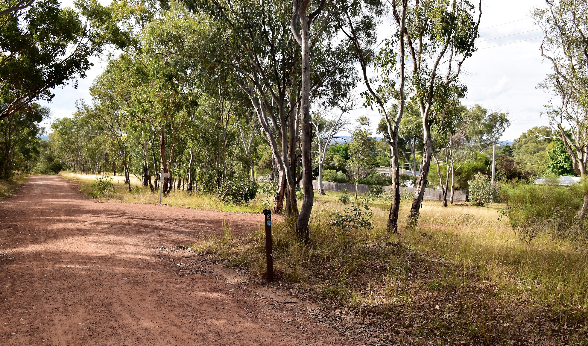
The Dirt.
According to my GPS I walked around 22.3 kilometres this afternoon and climbed around 674 metres on what I'd call a medium grade days walking. The way marking today was a bit hit or miss, initially on the urban walk through Canberra they were very thin on the ground, once I was in the bush the track marking was a little better although there were still a few spots where I was consulting my map and notes. While the way marking and signposting was a little variable the track itself was generally pretty good, obviously in the urban areas it was mostly concrete or bitumen, once in the bush there was a mix of single track and closed 4wd tracks that were all pretty clear. I used the notes and maps out of the Woodslane book Walking & Cycling Canberra's Centenary Trail by Nina Hvoslef & Tallis Didcott, along with my GPS topos today.
Relevant Posts.

The Centenary Trail has just emerged from the scrub beside the Federal Highway.

Walking the road reserve beside the Federal Highway in the twilight.

Sam's just arrived to pick me up at the Horse Park Drive entrance to the Goorooyarroo Nature Reserve.


No comments:
Post a Comment