Hi All, I did this walk a bit over a week ago and would normally not publish it yet as I've got a few walks sitting around unpublished...however... since getting home from this walk I've developed a case of giardia and I'm guessing that I picked it up from the water at the Old Mill Walkers Camp. So anyway I figured that I'd get this online for a bit of a heads up just in case anyone reading this is heading out there in the near future.

Grass Tress are synonymous with the Brisbane Ranges for me.

Sam dropped me off at the old courthouse in Steiglitz to start this walk.
The Brisbane Ranges in the middle of winter can be a fairly cold spot and heading through the rain this morning on the drive out there I was starting to wonder... a forecast for hail with low single digit maximum temperatures wasn't reassuring me much. After dropping the ute off at Boar Gully Camp, Sam dropped me off at the Steiglitz Courthouse under blue sky! After watching Sam drive away I grabbed my pack and set off on what I was planning on being a two day walk back up to Boar Gully.

Steiglitz is an interesting spot.
After making my way out of town I crossed over Sutherland Creek and picked up the un-signposted Hay Track. Hay Track starts off very faint as it initially follows the valley of Sutherland Creek for a few minutes before swinging swinging north and climbing away from the creek. When some rural land comes into view off to the east, Hay Track morphs into a distinct 4wd track and the navigation was straightforward. After following Hay Track to it's end I arrived onto Durdidwarrah Road and ten minutes later I arrived at Friday's Picnic & Camping Area and the official trail head of the Burchell Trail.

I crossed over Sutherland Creek as I left town.

Hay Track starts off a little indistinct...

... however it soon got fairly obvious as I climbed away from Sutherland Creek.

Hay Track parallels some rural land for a few minutes.

Lichen - Brisbane Ranges National Park.
Emerging onto Durdidwarrah Road I followed it up to Fridays Picnic & Camping Area.

Fridays Picnic & Camping Area - the official trail head for the Burchell Trail.
The Burchell Trail is one of those walks that can feel a little contrived I think, almost like Parks Vic decided that the Brisbane Ranges National Park needed a flagship overnight walk so the boffins decided to randomly link a series of existing tracks and call it the Burchell Trail. My thoughts were only really reinforced when I glanced at my map and realised that tonights camp was probably less than a kilometre away as the crow flies from the trail head here at Friday's Picnic & Camping Area. So setting foot on the Burchell Trail now it wasn't really surprising that I meandered off into the scrub in the complete opposite direction to the spot where I'd be pitching my tent tonight. After dropping east the Burchell Trail soon swung back to settle on a southwesterly direction, the slippery track depositing me back on Durdidwarrah Road again a few metres from the old Pines Mine Site.

I'm on the official Burchell Trail now.

I was now actually heading away from tonights camp.

The view from the top of the mullock heaps at the old Pines Mine Site is worth the short side trip.
After taking in the long range view from the top of the huge mullock heaps at The Pines Mine Site I dropped down to Yankee Gully. I've featured this spot before in a day walk on my blog and it's nice bit of the walk, there is a lot of old mining history along here and at the same time the walking track itself is quite nice as it heads downstream. Emerging from Yankee Gully the Burchell Trail passed through the deserted Crossing Picnic Area before I climbed the closed Box Track for awhile. Box Track, like a lot of others along the length of the Burchell Trail is closed 4wd track and while walking these tracks isn't as enjoyable as walking single track it's still not too bad really. Leaving Box Track I dropped down a nice walking track, crossing a side gully on a bridge before following the Burchell Trail again to cross Yankee Gully for a final time near Grahams Creek Picnic Area.

Winter in Brisbane Ranges National Park.

The Burchell Trail dropping into Yankee Gully.


The Burchell Trail though Yankee Gully makes for good walking.

Brisbane Ranges National Park.

Burchell Trail, Yankee Gully.

Yankee Gully.

The Crossings Picnic Area made for a nice spot for morning smoko.

The Burchell Trail approaching Grahams Creek Picnic Area.
After crossing a concrete ford I climbed a few metres away from Grahams Creek Picnic Area before heading north down Hazel Track. This intersection was one of the few spots along the length of the Burchell Trail that isn't signposted, although after consulting the map it was obvious at this old and grassy 4wd track was my intended route. The next section of the Burchell Trail which consisted of Hazel, Back and Banksia Tracks makes for very nice walking. The single track between Back Track and Banksia Track is surprisingly rough and rugged and then a little further on the profusion of Grass Trees near an old fence line are always worth a photo.

Grahams Creek Picnic Area is just to the right of this photo - the Burchell Trail doesn't actually go into the picnic area.

The start of Hazel Track wasn't signposted when I went through, although once I was following the grassy track it wasn't too long before I found a track marker.

Brisbane Ranges National Park.

This section of the Burchell Trail is about as rough as things get on the trail.

Burchell Trail.

Burchell Trail.
With some cleared rural land off to the west the Burchell Trail swung easterly and started a long but fairly gentle climb up to meet and cross the more major Lease Road. Once across Lease Road I continued on a generally easterly bearing, dropping down to cross a swampy gully on an unusual section of boardwalk before climbing up to pass by the old Century Mine Site. This old mine is a few metres off the track and it's always worth wondering over to check things out, the mine itself is a vertical shaft an is covered by mesh. Somewhat unusually there is still a hand operated winch above the mine shaft and the shaft is also protected by a shelter.

With some rural land off to the west I headed east and started a gentle climb up to Lease Road.

Brisbane Ranges National Park.

So much for the predicted storms.

Early afternoon on the Burchell Trail.
Leaving the Century Mine site my days walking was almost over, and somewhat unbelievably I was starting to think that I'd not only make it to camp dry but I might even get the tent up before the rain arrived as well. After crossing Durdidwarrah Road again I dropped Furze Track to arrive at the deserted Old Mill Walkers Camp fifteen minutes later, my decent slowed as I stopped to photograph a friendly Wallaby for awhile.

After crossing Lease Road the Burchell Trail dropped gently...

... to cross this pretty gully...

... before climbing to pass by the old Century Mine site.

After crossing Durdidwarrah Road again I dropped down Furze Track to Old Mill Walkers Camp.
The Old Mill Walkers Camp is a nice one I reckon, there is a large grassy area which could be home to multiple tents, there is a long drop, a water tank and a picnic table. With one eye on the weather I picked a spot that would give me a modicum of shelter if the predicted storms actually arrived and soon had the Duplex up and my bed for the night sorted. With camp organised I was still left with hours of daylight to enjoy, so I spent the rest of the afternoon either exploring around camp, listening to my little radio or eating! I was lucky here in that if I climbed up to the water tank and toilet I actually had enough mobile reception to be able to get online... this was particularly handy as after an early dinner I was able to jump onto the BOM radar and see that I'd be getting pretty wet - pretty soon! So tent o'clock came fairly early tonight as I retired to the Duplex by around 4:30pm and settled in for a long night.

Approaching Old Mill Walkers Camp the locals came out to greet me.

Old Mill Walkers Camp.

Camp was set up and I still had around 3 hours of daylight left:)
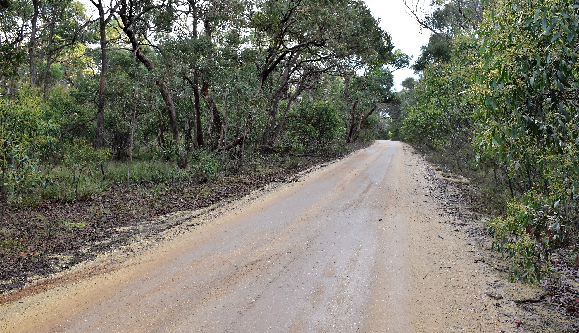
The Dirt.
According to my GPS I walked about 15.5 kilometres and climbed around 389 metres on what I'd call an easy-medium grade days walking on the Burchell Trail. Now, as I've already waffled on about I added a bit to the official Burchell Trail route today by starting in Steiglitz. Navigation wise everything was pretty easy once on the Burchell Trail (except for the un-signposted start of Hazel Track) although my little alternate at the beginning of the day required keeping an eye on the map. If anyone out there decides to walk this track in the wetter months then be prepared for a very slippery surface, the smooth dirt surface on a lot of the track has a similar grip co-efficient to wet soap! While the Old Mill Walkers Camp is very comfortable it also has to be pre-booked on the Parks Vic site and it'll set you back around $13. I used the Meridian Maps Brisbane Ranges National Park 1:30,000 topo map on this stroll along with my GPS topos. A lot of different walking guide book authors have written up walks that incorporate sections of the Burchell Trail if anyone wants some printed information.
Relevant Posts.

There is a long drop and a tank above camp - I'm thinking that this was the spot where I picked up a case of giardia?

Now this doesn't look overly promising.

It's tent o'clock I think.


Thanks mate. Good info.
ReplyDelete