
There is some rustic dry stone work on this track.

The informal lookout at the carpark is arguably as good as anything on the walk.

Alright... time to get walking.

The trail head is well signposted with both new...

... and old styles of signs.

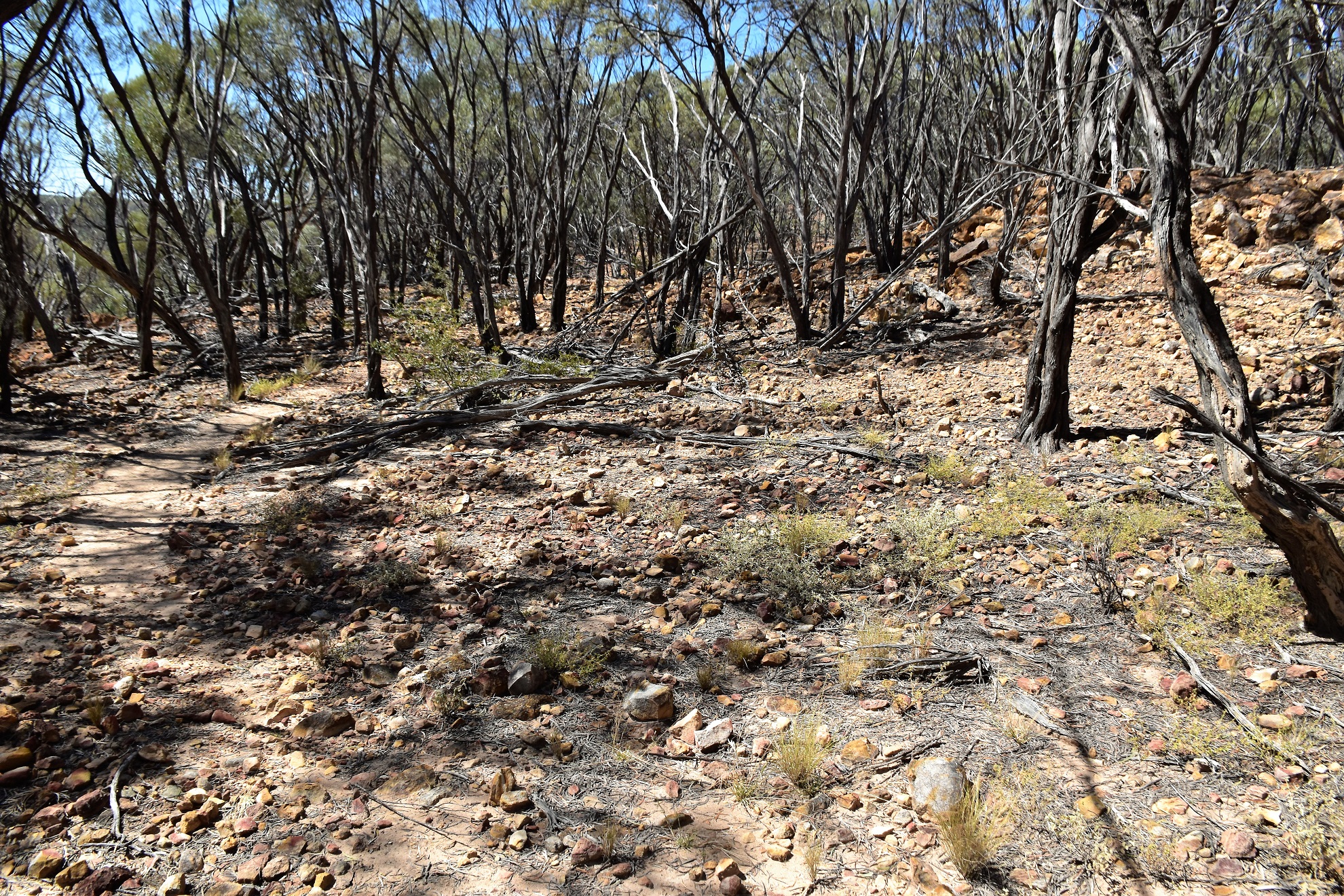
The track mostly passes through sparse woodland...

... mostly keeping fairly close to the edge of the escarpment.
After following the edge of the escarpment for awhile the track started to descend a rocky section, 'this was where I drop into the gorge' I remember thinking - except I didn't. The track actually climbed away from the edge of the escarpment and left the rocky area and I found myself trudging across an open sandy area with little in the way of shade around. After crossing the open plain for awhile the track made an abrupt 90˚ turn and headed for the escarpment again - I must be dropping into the gorge now...surely.

There are plenty of views fairly close to the track on this walk.
There was a short rocky section that climbed a bit...

... before the track crossed this open (and hot) area.

Well I guess this is Emmett Pocket Gorge then.

The ephemeral creek flowed off the plateau here.

I wonder if this is Emmett Pocket Gorge?

After exploring the dry creek bed I figured that I'd better make a mile back to Sam.

This is another of the walks in Idalia National park that is marked by white blazes.

I checked out a few more of the long range views as I ambled back.

Idalia National Park.

This walk was surprisingly rough in spots.

Idalia National Park.

Time to head off - we were heading up to Winton this afternoon.
The Dirt.
According to my GPS I walked around 4.2 kilometres and climbed about 42 metres on what I'd call an easy stroll. How the national park folk call this walk steep is a little beyond me - there were a handful of steps but that was about it?... and what's with the gorge nomenclature on these walks, I didn't see anything even loosely resembling a gorge on this walk or the Bullock Gorge Walk? I got my information for this stroll from the QLD Parks website and Alltrails, both sites offer rudimentary information. On the walk I used my Alltrails Map and my GPS topos. This walk is a long way into what is a very remote park, it probably requires a drive of at least 100 kilometres on sometimes rough tracks to get here so come prepared - I'd recommend a high clearance 4wd.
Relevant Posts.

I really enjoy cruising along these quiet outback roads chilling out a bit.

I'd recommend a high clearance 4wd to get into and to travel around the park.

Once back on the bitumen we passed through an interesting old town called Isisford on our journey north - being off the main roads this place had a bit of an authentic outback feel about it I thought.


No comments:
Post a Comment