
Heading out to Old Tom Mine.

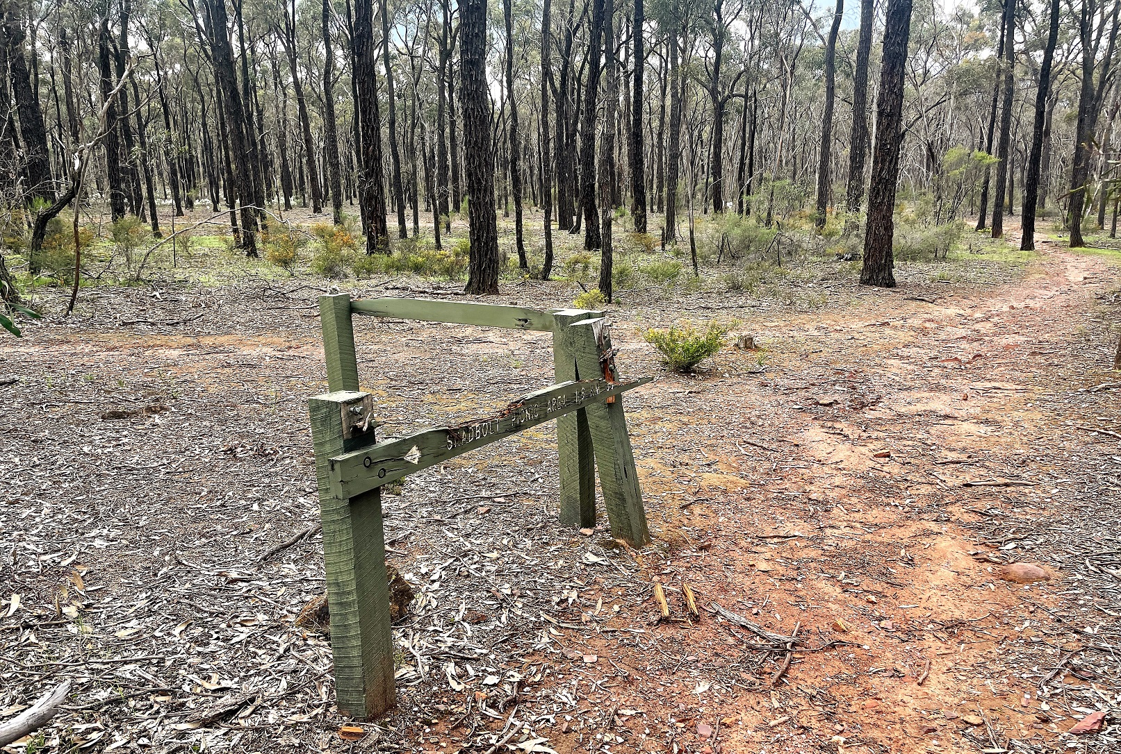
We set off from the deserted Shadbolts Picnic Area.

The track is mostly well signposted and obvious.
Now I have to say straight up I was using my phone for all my photos today as my DSLR was at home. Actually to be honest I was also playing around with a Go Pro today for the first time. I'm most likely going to start to swing over a bit from blogging to vlogging in the near(ish) future however I'll have more to say on that a bit later. After picking up the well signposted track we crossed an overflow car park before reaching a track junction and swinging right (our return would be from the left hand track later).

We had storms threatening for the majority of this walk.

We now started a fairly easy and flat walk through the dry open forest as we meandered our way south east towards Old Tom Mine. Apart from the dry open mostly Ironbark forest the other notable feature here is the amount of old mining history scattered about, we passed by numerous old water races, mine shafts and mullock heaps as we walked. Ignoring our return route on the left we continued on, although now we were also keeping an eye on the looming black clouds that were building up to our north.

The park is criss crossed by old water races - both informal...

... and formal.


Box Ironbark Forest.

After passing through an area of extensive old diggings we crossed another water race a shortly after arrived at Old Tom Mine. The mine old mine is one of the bigger ones around I think and it is fenced to stop the punters getting too close, however it's easy enough to wander around the fence line and get a good look at the large open cuts. Apparently this old mine was the only one in the area that had an ore crusher which explains the extensive bullock heaps in the surrounding area that we'd weaved our way through.

Old Tom Mine.

Old Tom Mine.

Over head conditions were a little un-settled as we left Old Tom Mine.

Heading back through some of the old mullock heaps.
After leaving the Old Tom Mine site Sam and I started our journey back to the car, and once again we were glancing a bit nervously at the billowing dark clouds to our north. After retracing our outward journey for around a kilometre we swung right and started the return loop section of todays stroll. To be honest the resturn loop was pretty similar to our outward walk, although we did climb over a bit of a low hill in one spot which gave us a bit of a long range view over the low rolling hills. After descending from our high point we soon swung right and re-joined or outward route again and a few minutes later we arrived back at the Shadbolt Picnic Area.
This walk feels a little unloved in spots...

... although there are enough track markers scattered around that getting lost should be pretty hard.


The Dirt.
According to my Alltrails App we walked around 5.9 kilometres and climbed about 82 metres on this easy stroll. This is really a walk to do if you are into old gold mining history or Box-Ironbark forests, and in spring the wildflowers are also bit of a feature. The route is reasonably well signposted although some kind of map is handy as some of the old signposts are in varying states of disrepair. Shadbolts Picnic Area would make a nice spot for lunch. This walk was written up in John & Lyn Daly's old book Take A Walk In Victoria's National Parks and is also on Alltrails.
Relevant Posts.

Returning to the car we had one small hill to negotiate.

The view from the walks high point.


No comments:
Post a Comment