Wujal Wujal Falls.
There is a massive car park here - it must get busy in the tourist season I guess.
Now I've got to say upfront that this can barely be called a walk, the whole adventure was less than a kilometres from go to whoa. With the walk involving a bit of exploratory rough rock scrambling at the end, I figured that I'd stick it up on the blog...and besides my blog is more a personal journal and this does document the days adventure. After parking the ute at the big carpark at the end of the road (stay on the Wujal Wujal community side of the Bloomfield River when coming down from Cooktown) I grabbed the camera and set off to see what I could see.
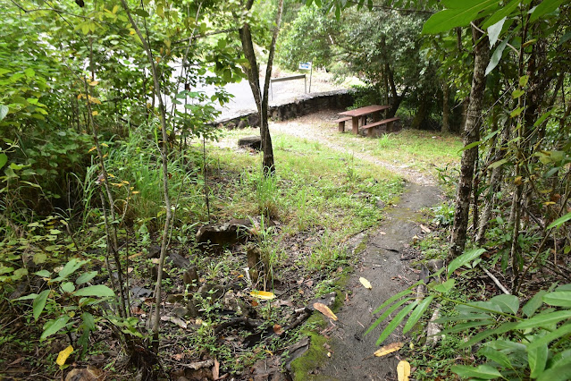
It's a nice easy track to begin with.
At about the same time that the falls came into view the track quality deteriorated a fair bit.
Wujal Wujal Falls.
The track from the carpark immediately passed by a Saltwater Crocodile warning before climbing a few metres into a patch of rainforest. Initially this path is a rough concrete job and even though it is sealed it was still pretty greasy after all the recent rain. After the initial climb the track contoured along the valley for a few minutes, all the while keeping a bit of distance between me and the crocodile infested Bloomfield River. It was probably only 5 minutes until I first saw and heard the falls at the head of the valley and it was about then that the formed track finished.
Walking these tilted rocks was slow and rough going.
It was this bluff that finished off all forward progress today.
Wujal Wujal Falls.
The Bloomfield River was flowing a banka today.
Wujal Wujal Falls on the Bloomfield River.
If it wasn't for the crocs I would of been in here!
Heading back to the ute...
... that was one short walk!
While it was a short walk it still took its toll on me in the heat and humidity.
The Dirt.
According to my GPS I walked around 950 metres and climbed about 21 metres on this easy stroll. While I'd call this an easy stroll the last little bit involved slow walking across uneven tilted rock so take that into account - Wujal Wujal Falls can still be seen from the end of the formed track, especially when the river is pumping after decent rain like it was today. Accessing this walk from the south requires a 4wd to traverse the Bloomfield Track, coming down from Cooktown should be OK in a soft roader or car if there hasn't been any big falls of rain recently (there are a few fords to negotiate). I used the notes and map out the the Woodslane book Best Walks around Cairns & the Tablelands along with my Alltrails App and my GPS topos.
Relevant Posts.
Back in Cooktown the rain had let up by sunset and we were able to enjoy planning our next little adventure over dinner.
Sunset in Cooktown.
This was our last night up in Cooktown, I really hope it's not another twenty years before Sam and I can get back up here.


No comments:
Post a Comment