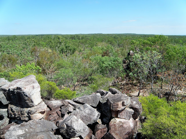
Once up on the Tabletop Plateau the walking was fairly flat so the occasional rocky outcrops were handy to get a bit of a view.
The Tabletop Plateau, Litchfield National Park.
I seemed to take a lot more photos of people back in the day.
Litchfield National Park.
We crossed a few small rills of water as we made our way across the plateau.
Lunch was enjoyed in the shade on the 4wd track.
After lunch we had our only navigational problem for the day when it appeared that the track markers had stopped and much wandering around the scrub ensued before I decided to break out the map and compass, I knew I carried them for a reason! The faint pad had made a swing to the south, and we had followed a false lead to the west. Back on track it wasn't long before we started to see some green trees which meant that we were getting into the upper catchment of Wangi Creek. After a couple of kilometres following the creek we reached the campsite above a small cascade.
After lunch we started to slowly drop into the Wangi Creek catchment.
The closer we got towards camp the more water we started to find.
Being up on a plateau the waterways are pretty safe as far as Saltwater Crocodiles go.
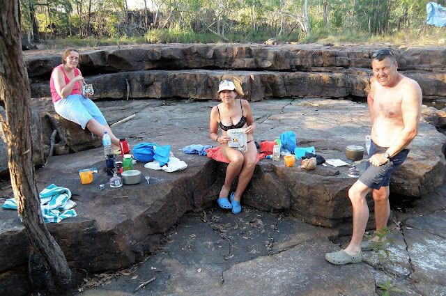
For the sake of the blog I'll go with Cascade Camp as a name for this bush camp however that's another Feral fact™ as I really don't know the official name. This camp was very basic with the only facilities being a long drop toilet which was situated around ten minutes walk from our tents. Speaking of tents we set up camp on some nice flat rock platforms around twenty metres from the cascading creek, it pays to have self standing tents up here sometimes. The rest of our afternoon was passed eating, reading, and soaking in the cool clear water, Melbourne seemed a long way away.
The cascades below our camp still had a trickle of water coming down.
The pool behind Skip was good for a cooling dip.
Looks like we dressed for dinner;
The Dirt.
We walked around 14 kilometres today and climbed around 100 metres I guess (this was in the days before I carried a GPS). The route today was marked by blue track markers attached to trees or stakes, that said they were few a far between sometimes and the pad itself faded in and out a bit so we had to concentrate, although keep in mind this was back in 2010. Once up on the plateau this is a very flat walk although the degree of difficulty was ramped up a bit by the roughish pad and the baking late September heat. I suppose I'd rate today's walk a medium grade stroll. Apart from a long drop at camp there were no facilities for walkers after leaving Florence Falls. I used the fifth edition of Maps NT Lichfield National Park map along with the Daly's notes out of their Take a Walk in Northern Territory's National Parks book on this walk.
Relevant Posts.
The temperature after the sun went down was perfect.
Our camp long drop was somewhere out there - we needed a map and compass along with a litre of water to get to it.
The cascades weren't far from the rock slabs that we were camping on.
Our Cascades Camp.


No comments:
Post a Comment