
The Tabletop Track descending through a valley filled with Cycads.

Litchfield National Park
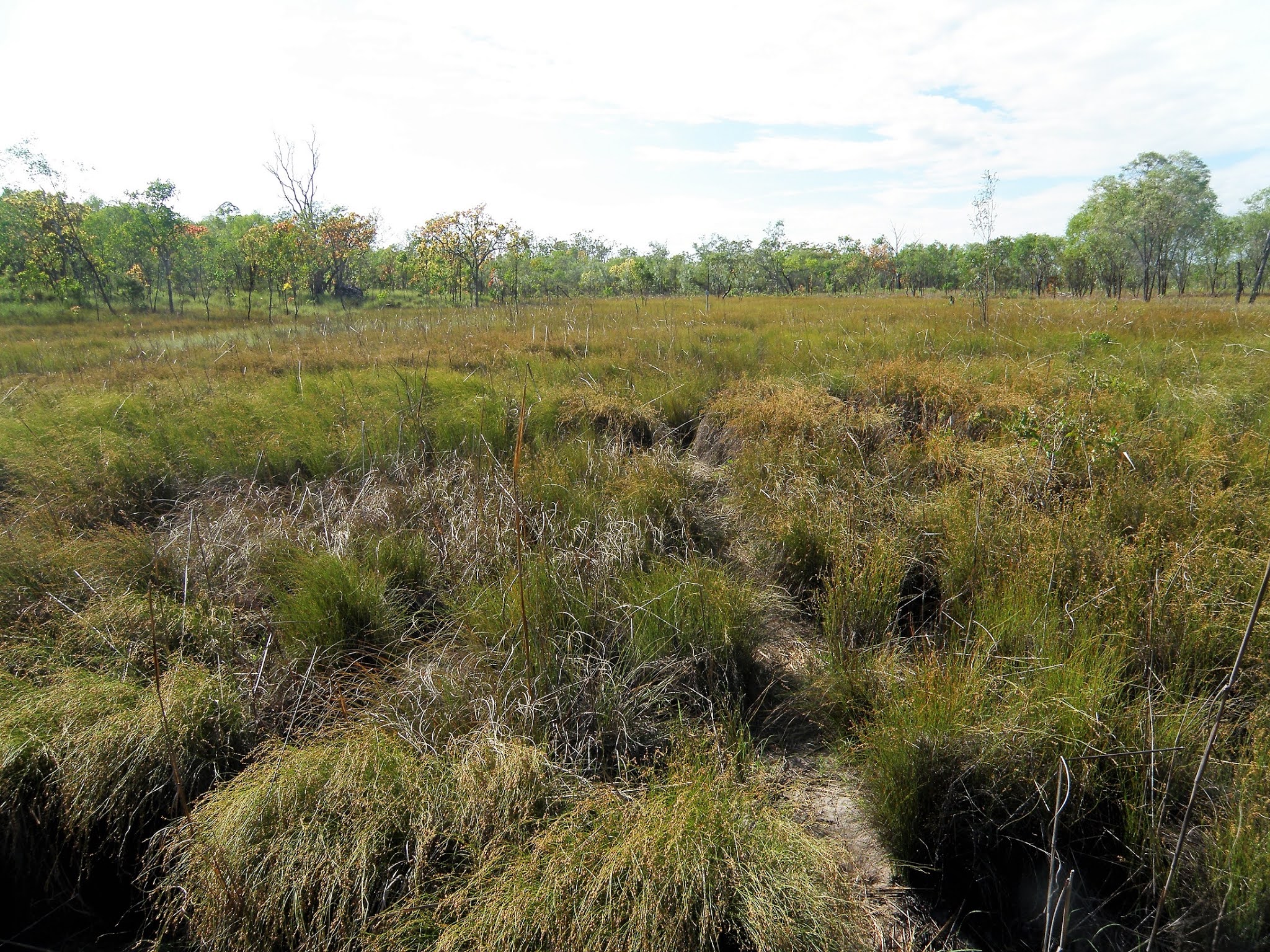
Crossing these grassy plains the track could get a little vague.

It's against the laws of bushwalking physics however Bel's apparent age was coming down in inverse proportion the kilometres she'd walked on this trip!...

... I, on the other hand was looking more weather beaten by the kilometre!

I'm thinking that the scenery today was the most variable of the walk.

Litchfield National Park.

Typical Top End walking.
After a few hours walking we started to descend a relatively steep sided valley and when the track eventually crossed the creek it was time for lunch (and today's first swim). I'm not sure on the name of this creek however it was a fairly substantial watercourse, the flow here being similar to Wangi and Walker Creeks. While we didn't have a super deep pool to cool off in here the water was definitely deep enough to submerge our hot and sweaty bodies in and as always the cool water was just what we needed to revive us from the stifling tropical heat and humidity.

Our un-named lunch creek.

Spots like these are very welcome places in the heat of the day.

I'm looking forward to a lot of this kind of walking when I retire.

Our trip was coming to its end.

Skip is pulling on his boots for the last time.
With lunch finished and our bodies dried by the sun we set off into the afternoon heat. We didn't have far to go now on our walk, however after leaving this little oasis we had what was probably the steepest climb that we'd experienced on the Tabletop Track as we clambered up the side of the valley. Once on the top we were able to look down into another valley and another beautiful un-named waterfall, there are so many spots that I want to explore one day. Within thirty minutes of our climb levelling out we arrived back at the Florence Falls Link Track and the circuit part of our walk was over. After retracing our first days route back to Florence Falls we headed to the huge plunge pool to wash the accumulated dust and grime off again, before joining the throngs of day walkers as we made our way back to the car park... smiling with that euphoric feeling that you get after another great walk.

We've just arrived back at the Florence Falls Link Track.
The Dirt.
We walked 12 kilometres today and climbed around 150 metres on what I'd call a medium grade walk. Once again today the walking was pretty easy, although the climb back up to the Tabletop Track from Walker Creek and the climb away from our lunch spot both had their moments. There was a walkers camp site a couple of kilometres into our walk today however we didn't head in to check things out although from all reports its a little ordinary. There were no facilities at all today once we left Walker Creek until we arrived at the bustling Florence Falls, water was available from our lunch creek. I used the fifth edition of Maps NT Lichfield National Park map along with the Daly's notes out of their Take a Walk in Northern Territory's National Parks book on this walk.

Back down on Florence Creek and heading for the plunge pool.
The Tabletop Track is not a super hard core bushwalking track, even so if anyone is thinking of attempting it then someone in the party should know how to read a map and a compass. The pad is marked with little blue triangles, however sometimes it is necessary to scout around to locate the next marker and when we did the walk the pad itself faded in and out a bit. We walked around 50 kilometres and climbed around 600 metres over the four days we were on this medium grade walk, these figures are rough estimates off my map and notes as I wasn't using a GPS at the time. If walking early in the dry season then water wouldn't be a problem, however at the same time the pad may be harder to follow due to rapid growth after the wet season. The campsites on the walk all had a table and a long drop toilet. You can buy food if you do a side trip into Wangi Falls and I think there is phone there. Overall if you like heat, swimming, and don't mind a few hours of rough walking each day then this maybe a walk to consider, all things being equal I'll certainly be back one day.
Relevant Posts.

Our finish photo after our swim. Florence Falls are just visible through the canopy beside Skip.


No comments:
Post a Comment