For the first half of the day we followed the headwaters of Wangi Creek.
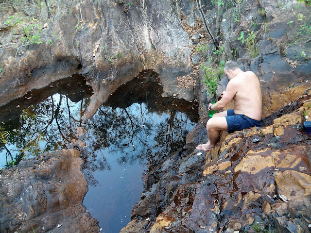
Crossing Wangi Creek near the turn off for the Link Track provided the spot for our first swim of many today.
Bel - enjoying bushwalking Top End style!
After soaking in our little waterhole for awhile we stashed our packs and set off on the side trip down to Wangi Falls. The spur track down to the falls was around 1.5 kilometres each way and after leaving our packs behind it was pretty easy walking for the most part. After following a wide valley we met up with the short Wangi Falls tourist walk above the falls and ten minutes later we were claiming a spot in the shade next to the huge plunge pool beneath the waterfall. Wangi Falls is well and truly on the tourist radar and with easy road access from Darwin it is a very popular spot, both with locals and tourists alike. We settled in now for a few hours, alternating between swimming, laying in the sun snoozing, and eating some real food and drink that we bought at the café. With the morning turning to afternoon though we reluctantly grabbed our stuff, pulled on our sweaty boots and clothes and retraced our route back up to our packs on the Tabletop Track.
Bel, some Feral looking bloke and Janty enjoying our swim at Wangi Falls - you won't be lonely here!
Janty and I at Wangi Falls.
I'm not sure what was going on here - it looks like it should be on my pay per view page!
Once reunited with our packs back on the track we didn't exactly hustle off into the tropical afternoon heat though. No, instead of trudging off in the mid afternoon heat we settled in for another swim - yes, it's that kind of walk! Eventually, with the afternoon slipping away we figured that we'd better make a mile towards our intended camp at Tjenya Falls. Our route now tracked north up the western edge of the plateau and while the track was rough the walking was still pretty reasonable, but bloody hell it was hot. Thankfully at around half distance between the Link Track junction and Tjenya Falls we came to another un-named waterfall and it was time for another cooling soak. Sitting in our little infinity pool at the top of the waterfall, gazing out over the low land whist watching the screeching Black Cockatoos in the trees, life was again very comfortable.
After climbing back up to our packs on the Tabletop Track... it was time for another swim.
Golden Orb Spider....pity about the red shirt in the background!
The headwaters of Wangi Creek.
Pushing on into the afternoon heat we soon found another reason to stop.
With another couple of kilometres still to get under our boots before camp we once again pulled on our sweaty gear and shuffled off. Once again the track was reasonably level but pretty rough under foot. The player comfort level now up a couple of notches as the low western sun hit the western side of the plateau. We arrived at the dusty Tjenya Falls Camp about an hour before sunset and after putting up the tents I went down to collect some very dubious water. With not much flow Tjenya Falls was the only camp on the trip were the water quality was suspect, after treating the water was OK however if I was walking again late in the dry I would have collected water at the earlier waterfall I think. After dinner there was time for another quick soak in the small plunge pool below the falls before we returned to camp to watch a beautiful sunset.
We were now following the western edge of the Tabletop Plateau...
... which meant that we were getting some long range views.
The Black Cockatoos were keeping us entertained.
There was plenty of water around on this section.
Away from the water things heated up pretty quickly.
The Dirt.
We walked around 12 kilometres today and I'm guessing we climbed around 200 metres on this medium grade day of walking. While the distances were pretty short the track was pretty rough in spots, although the blue track markers never led us astray. The side trip down to Wangi Falls is a decent length one, although if you've never been to Wangi Fall then it's probably a must do and if you are craving some real food then the café is also a must do! Water was fairly easy to find today even though we were there at the back end of the dry season. Wangi Falls has good facilities including camp site, flushing toilets, picnic tables and a café (remember these notes are ten year old though). Apart from Wangi Falls there are no walking facilities apart from the long drop at Tjenya Falls. I used the fifth edition of Maps NT Lichfield National Park map along with the Daly's notes out of their Take a Walk in Northern Territory's National Parks book on this walk.
Relevant Posts.


No comments:
Post a Comment