Sunday, November 4, 2018

Lake Hattah to Ki Bend, Hattah~Kulkyne Circuit, Hattah~Kulkyne National Park - September 2018

Today's objective was to camp at Ki Bend on the Murray River.
I’ve had this walk lingering in the dark recesses of my mind since I first read about it over fifteen years ago. For numerous reasons I’ve never managed to make it up to Hattah and do the walk though. With a long weekend in Melbourne I decided that the time was finally right, the weather was still not getting too hot and the environmental floods that fill these fresh water lakes had receded far enough that all the tracks were open.

It wasn’t all easy though, just to get to the start of the walk this week required a bit of effort. Sam was away up in Queensland with her parents so I was living the bachelor lifestyle, unfortunately that corresponded with work going crazy which meant on the three days preceding the walk I was heading off on the mountain bike at 4:30am and not getting home until 7:30pm. To top that all off I started to get another dose of man flu - my second for this year! Not to be deterred, after work on the Wednesday I set off on the drive to Hattah at 10:30pm, eventually pulling off the Calder Highway around Wycheproof in the early hours of the morning for a few hours sleep. Yeah it’s definitely not all business class travel and 5 start hotels in my Feral world. When the sun rising over the flat Wimmera Plains woke me next morning I jumped back into the driver seat and drove the rest of the way to Hattah-Kulkyne National Park, only really stopping to stash some water out near the Murray River, which I planned to pick up as I walked through later that afternoon.
I grabbed a few hours sleep in the front seat beside the Calder Highway.
Arriving at the visitor centre car park at Hattah-Kulkyne National Park at 11am, the first thing I noticed after stepping out of the ute was how warm it was, I’m not talking baking hot but the temperature was definitely in the high 20˚ range. After pulling on my boots and resetting the GPS I shouldered my pack and wandered off down the sealed road towards the Lake Hattah Campground. I haven’t actually carried a full pack with all my gear since finishing the AAWT last year, so not only was I a little crook but I was also a little out of condition as well, ‘suck it up princess’ I remember thinking to myself.
I left the ute at the visitor centre at Lake Hattah.
Rather than walk the road through the camp I walked the sandy shoreline of Lake Hattah until the water forced me up onto the levee that separates Lake Hattah and Little Lake Hattah. Crossing over the regulator that controls the flow between the two lakes I was now walking the sandy Bugle Ridge Walking Track, a track that I’ve walked a few times over the years, most recently a few weeks ago with Sam. This sandy track rises very slightly onto low dunes and strikes out almost due east, on the journey passing by Lake Hattah, Lake Bulla and Lake Brockie, all off on the right hand side of the pad. The good news today was that all the lakes had good amounts of water in then so the desert was not only alive with Kangaroos and Emus but the skies and lakes were featuring a wide variety of waterbirds.
Walking the sandy shoreline of Lake Hattah is more pleasant than the road through the campground I think.
Lake Hattah
Little Lake Hattah is getting fairly dry.
Bugle Ridge Track crossing the regulator between Lake Hattah and Little Lake Hattah.
Easy going along Bugle Ridge Track.
There was a little shade from the occasional Casuarina along this initial section.
Lake Bulla
Lake Brockie
Bypassing Brockie Track, which headed off on my right, I continued, now along Nip Nip Track. The country out here is generally a bit drier than around the bigger Lake Hattah, but passing Lake Tullamook and Lake Nip Nip I could see that they both still had a good amount of water in them as well. Lake Nip Nip also marked the spot that I’d start heading north. After a bit of a dog leg through the Kangaroo Fence I picked up Stockyard Track, the first section of the walk that I’d been on an open vehicle track since approaching Lake Hattah at the start of the walk, not that that mattered much as I wouldn’t see a vehicle for many hours yet. Stockyard Track travels against the grain of the land a bit and I was soon crossing some small red sand dunes as I made my way north.
Nip Nip Track
Lake Tullamook
Lake Nip Nip through the Blackbox.
Choices...I headed left (north).
Lake Nip Nip
I'm about to clamber over the Kangaroo fence.
After trudging my way north along Stockyard Track for half an hour or so I arrived at the old stockyards that the track is obviously named after. These weather beaten yards are worth stopping to check out, I’m always in awe of the bush skills that these old timers showed and these yards are a good example of their bushcraft. The stockyards also mark the spot that Stockyard Track meets up with Chalka Creek, there are a few tracks coming and going along the next few hundred metres but after ten minutes I was happily trucking along Chalka Creek Track, which not surprisingly follows Chalka Creek fairly faithfully.
Stockyard Track made for fairly easy walking.
Stockyard Track was open to vehicles, although I didn't meet anyone.
Part of the old stockyards after which Stockyard Track is named, I'm guessing.
Chalka Creek is an anabranch of the Murray River, before climate change and irrigation requirements reduced the flow in the Murray River, the periodic floods would fill Chalka Creek which would in turn fill all the desert lakes as the flood water slowly made it’s way back around to re join the river downstream. Unfortunately the lakes were dying as the the floods were rarely high enough for the water to enter the Chalka Creek system. To keep the lakes alive it was decided to pump water out of the Murray River into Chalka Creek and create an artificial flood, an environmental flood if you like, thankfully this has so far kept the lakes and their eco systems ticking over. Chalka Creek was mostly bone dry on this visit, there were only a few of the deeper billabongs still holding water.
There's not a lot in the way of shade on these flood plains.
Chalka Creek was more or less dry on this visit.
The floodplain is bordered by red dunes.
I'm thinking that this is a Yellow Gum.
There was a lot of wildlife around today, but it was all a bit quick for me.
After walking along the floodplain of Chalka Creek through mostly Blackbox for an hour or so Chalka Creek Track left the black soil floodplains and headed into some red dunes. The track now following some large high tension power lines for a few hundred metres before once again dropping down and starting across yet more black soil floodplains. It was now getting fairly late in what had been a pretty warm afternoon, so I was pretty happy to be finally approaching the Murray River, my camp was still an hour or so away but at least the larger trees around the river would give my a bit more shade. Arriving at the River Track I dropped my pack and spent awhile poking around the regulators and pumping system for Chalka Creek, it’s certainly some heavy duty gear.
There was the occasional billabong still holding a bit of water in Chalka Creek.
I'd pass underneath these power lines on Florence Annie Track again tomorrow.
Chalka Creek Track in the late afternoon light.
Approaching the Murray River along Chalka Creek Track.
The pumps bring the water into Chalka Creek where the rocks are lining the creek bed just past the buoys.
The regulator here on the River Track is closed to prevent water flowing back into the Murray River when environmental flows are being pumped out. The regulator can also be opened on the very rare occasions that the water level in the Murray River gets high enough to enter Chalka Creek naturally.
The River Track is the a fairly reasonable dirt road and I now followed it north for ten minutes or so, passing the old Messengers Homestead on the way. It was whilst I was shuffling my way along River Road that I saw the only person that I’d seen since leaving Lake Hattah hours earlier, actually this bloke rattling by in his ute would turn out to be my only human interact for the whole day. Messengers marked the spot that I’d leave the River Track and start out along the more informal tracks that follow close to the Murray River, the tracks from here to Florence Annie Track which I’d reach tomorrow afternoon ante numerous and vague in spots, but with the River Track on one side and the Murray River on the other side you can’t go too far wrong, really.

There is some serious hardware here.
River Track allowed for my first look at the Murray River.
River Track
Messangers
I was now getting very close to the spot where I’d stashed 9 litres of water that morning, I needed to find this water for my camp tonight and tomorrows walk over to Lake Mournpall. Thankfully I had no trouble locating my stash beside a huge Red Gum. Finding the water was one thing but lugging an extra 9 kilograms to camp was another thing, thankfully I only had to meander my way downstream for another 15 minutes or so untilI arrived at the first beach on Ki Bend. Dropping down onto the sand I soon found a nice spot to put up the tent with a nearby log to sit and cook on. It had been a big day and I was a pretty tired walker when I crawled into my tent tonight.
Leaving River Track I headed right towards Ki Bend, the tracks along the Murray River are frequent and convoluted.
This water needs to get me over to Lake Mourpall tomorrow night.
The tracks along the Murray River are pretty rough and informal.
The Dirt.
Ok, according to my GPS I walked 26 kilometres and climbed around 300 metres on what I’d class as a medium-hard grade days walking. The tracks today are mostly well signposted and defined although they can be a bit soft and sandy in spots, the other thing to consider is that the tree cover is pretty sparse so their is little shade to be had. Even though the walk passes a succession of fresh water lakes as well as following and camping beside the Murray River it’s best to BYO drinking water I think, you could treat the water from the natural sources but I’m thinking that it would need some serious treatment to make it potable. Camping spots are only limited by your imagination really (although I’m not certain of the legality of bush camping away from the Murray River?), but the pick of the spots are on or above the beautiful sandy beaches on the Murray River I think. Keep in mind when choosing a camp that the beautiful old Red Gums that line the river have a nasty habit of randomly dropping huge branches so camp away from the possible impact zones, there’s no coming back if one of these things land on your head. I used the Meridian’s Hattah-Kulkyne Map, along with the Parks Vic notes and the notes and map out of 2001 edition of Lonely Planet’s Walking in Australia.

Relevant Posts.
Day 2 of this walk, Hattah-Kulkyne National Park, 2018.
Hattah Lakes Circuit, Hattah-Kulkyne National Park, 2018.
Hattah-Kulkyne Drive, Hattah-Kulkyne National Park, 2018.

Reaching the first beach at on Ki Bend it was time to call stumps for the day.
A camp with water views, this'll do me!

Thursday, November 1, 2018

Big Hill to Horseshoe Falls, Great Otway National Park - October 2018

Horseshoe Falls
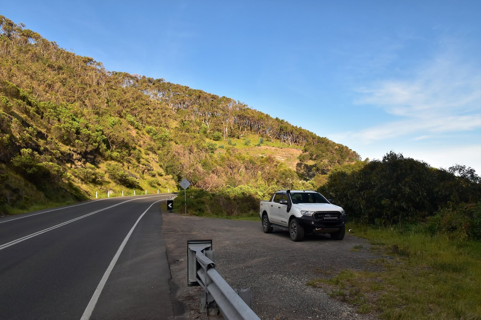
Today’s stroll turned out to be a bit of an unusual one in that for the most part it was a pretty easy day out, but it was punctuated in the middle with a fairly hard off track section that featured a close encounter with one of my reptilian friends as well as some seriously steep descending and climbing. The day started off pretty easy though as I motored my way down the Great Ocean Road under an overcast sky. After passing through Aireys Inlet I continued on another 10 kilometres before parking in a small carpark, a few metres before the Great Ocean Road crossed over Big Hill Creek. If this spot looks a little familiar then it’s probably because with the serpentine road almost looping back on itself here it has featured in a few car advertisements over the years.
There is a small, informal car park near Big Hill Creek.
This was as close to the coast that I'd get for a few hours.
Locking the ute I crossed the road and jumped the safety barrier to pick up an obvious, but un-signposted track that started to climb up the eastern side of a valley towards Big Hill. The fairly easy climb gave me a few glimpses across the valley of Big Hill Creek towards the next ridge to the west which would be my return ridge in a few hours. After climbing easily along Packhorse Track I veered left on the top of a ridge (no signpost) and climbed up to the summit of the 159 metre Big Hill. Like the majority of the high points on this walk Big Hill didn’t supply much in the way of views, the best I could hope for were for a few glimpses of the blue waters of Bass Strait through the trees.
Climbing up Big Hill along Packhorse Track was a nice easy way to start today's stroll.
The ridge on the other side of the valley would be my descent route later this afternoon.
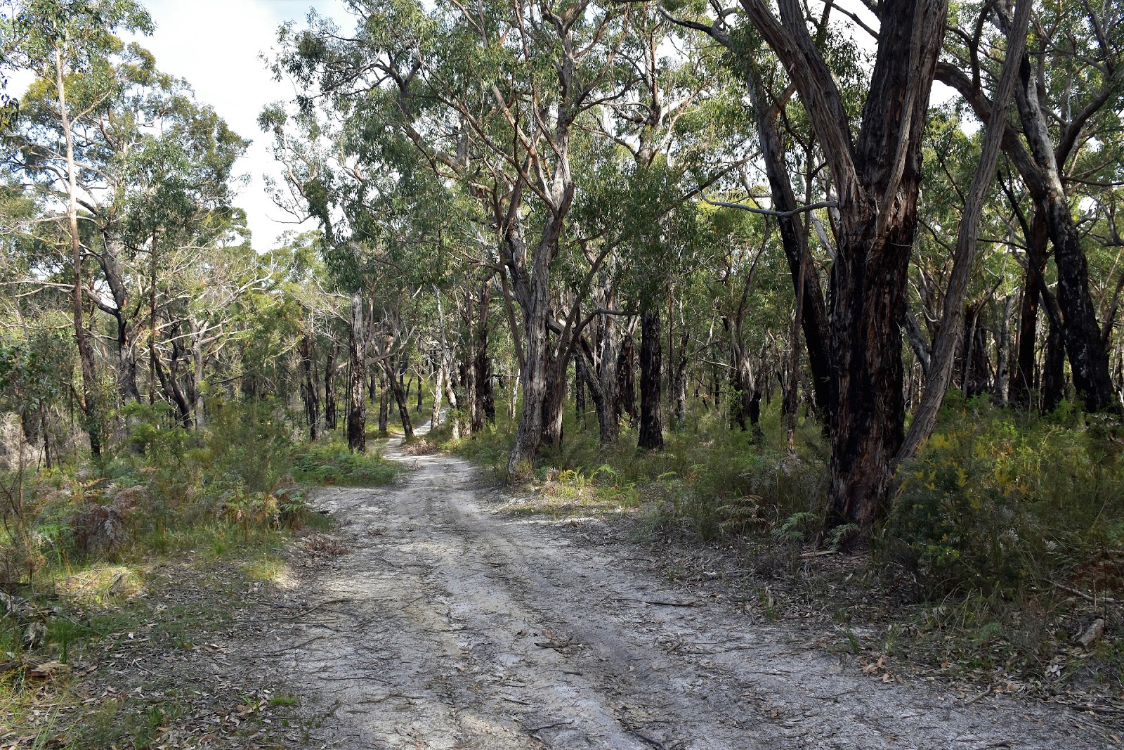
Turning to the north west at Big Hill I now followed Big Hill Track, firstly dropping through a saddle before once again climbing fairly easily for 3 kilometres or so to meet Reedy Creek Track. Big Hill Track is one of those undulating 4wd tracks that make for fairly relaxed walking. Ignoring Reedy Creek Track, which was notable as the track that would take me back to the coast in a couple of hours, I continued on along Big Hill Track for another kilometre passing over a knoll. Just as Big Hill Track start dropping down after passing over the knoll my days adventure started as I picked up the taped track that would drop me down to Horseshoe Falls. We’ll when I say ‘I picked up’ well I did for around ten metres and then promptly lost it!
Big Hill Track
I only managed to get a few glimpses of the blue water of Bass Strait through the trees as I walked along the ridge on Big Hill Track.
Big Hill Track
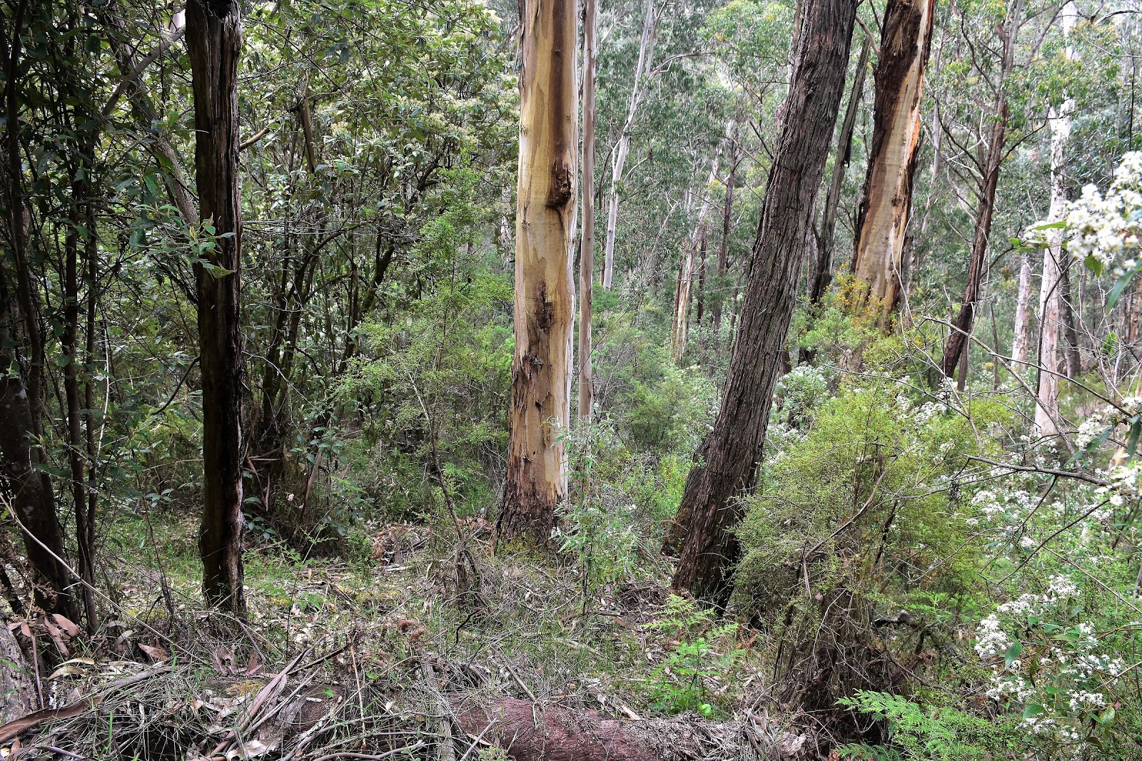
So having lost the pad and with no tapes visible to my eyes I decided that the Feral approach was the best option now. Higher up the open forest made off piste walking pretty easy, but things quickly got all vertical on me and I was now concentrating a little more. It was after stepping over a log going down here that I had my dancing with Copperhead experience. Stepping over a log on what was around a 45˚ slope I found myself sharing a 30 cm patch of flat ground with a Copperhead Snake….fuck! After what looked a bit like a Feral River Dance my serpent mate disappeared under the log and I made a quick exit in the opposite direction…..only to discover 5 metres down the cliff hill that my sun glasses had dropped off my head, after scrambling back up I managed to find my glasses and resumed my descent. After the snake encounter the steep ground, loose rocks and scratchy scrub on the remainder of the descent didn’t seem to worry me too much. Somewhat ironically I found another piece of flagging tape just as I arrived at the creek downstream of Horseshoe Falls, I suppose my navigation wasn’t that bad after all.
The turn off from Big Hill Track was flagged and easy to see....
....but I lost the pad after all of about two metres!....
....although I found it again (and the flagging tape) when I arrived down at the creek.
Once I hit the creek it was just a matter of walking through the fairly light scrub on the north bank up stream for five minutes to arrive at Horseshoe Falls. It’s got a real lost world feel to it down here, ferns, moss covered rocks, rushing water and not a lot of signs that too many others had been down here before, it’s a magic spot. Arriving at the waterfall I dropped my pack and explored a little, Horseshoe Falls is one of those waterfalls that a you can actually get behind the curtain of water. After carefully rock hopping my way around the falls I returned to my pack and enjoyed my lunch in this beautiful spot, happily un-molested by both mosquitos and leaches.
Horseshoe Falls is one of those waterfalls that you can get behind the curtain of water.
It's fifty shades of green down here.
Horseshoe Falls
Horseshoe Falls
After taking in the atmosphere down here for awhile I shouldered my pack and set off for he climb back up to Big Hill Track. If anyone makes the effort to head down here then it’s worth while making the short side trip down stream for 50 metres or so to another beautiful, mossy rock overhang on a bend in the creek, like I said earlier there’s areal lost world feel to thous spot. After checking out the overhang I retraced my way back to the tape and started climbing.
If anyone reads my waffle and visits this spot then it is well worth the short side trip downstream to check out this mossy cliff.
The late afternoon sun filtering through the ferny canopy added to the atmosphere.
There are a few large trees reaching for the sun.
The good news here was that I actually managed to find something resembling a walking pad, it climbed a broad spur that was across a gully from the more westerly spur that I’d dropped down (both routes finish in a gully below Horseshoe Falls). The pad was very faint though, there was the occasional piece of flagging tape or broken branch but overall it was more instinct that kept me going in the right direction. It was a bloody steep climb up here too and I found myself wondering how I could get my hands on some of that Fair Dinkum Power that PM SlowMo waffles on about.
I had a little more success following the taped pad on the climb out.
Things were still on the vague side though.
Without a coal fired generator handy though I just had to plod my way up, after passing through a rocky bluff the track levelled out a bit …and disappeared again. So I ended up walking the last 100 metres or so back to Big Hill Track off piste again, meeting the track around 5 metres from where I’d left it a couple of hours ago.
Not only was the pad vague but the climb was super steep.
I arrived back onto Big Hill Track a few metres from the spot where I'd left it a couple of hours ago so my navigation wasn't going to badly!
Back on Big Hill Track my easy rambling resumed as I retraced my way back to Reedy Creek Track and started the long descent back down to the coast. Dropping down Reedy Creek Track I was slightly perturbed to pass a sign warning me of private property ahead, I wasn’t keen to drop all the way down to the coast only to have my way blocked by some private holiday houses. My main memories of dropping down Reedy Creek Track were of all the Wallabies out grazing in the open forest, it wasn’t hard to spot wildlife down here. The other thing that I noticed along Reedy Creek Track was the police tape marking certain, seemingly random sections of the forest, I’m guessing it was marking dangerous dead trees…or bodies?
The walking was easy again as I dropped back down Big Hill Track to turn right down Reedy Creek Track.
Turning down Reedy Creek Track I noticed this sign buried in the scrub. Looking at my notes and map it looked like I could weave my way through the private houses above the Great Ocean Road, but I wouldn't know for sure until I'd dropped 300 metres and walked the 5 kilometres. 
I'm not sure that I've ever seen a tree with more burls.
I'm not 100% sure of the reason for the police tape, I'm guessing it's an arse covering exercise by Parks Vic after a prescribed burn...although it's not really over run with punters down here and the tape was in random spots a fair way off the track??
Reaching some power lines I followed the easement under the lines south before meeting some cleared land and following a fence line towards the ocean. The views here are the best of the walk and I was also lucky today to have a couple of Wedge-tailed Eagles soaring on the thermals above me, I tried my best to get a photo but the results are pretty average. The photo doesn’t show it but the eagle that I photographed was one of the bigger Wedge-tailed that I’ve ever come across. It was along this section of the descent that I was expecting to have trouble with the private property issue but after following my notes and map carefully I emerged onto Broadbent Road along an access track between two private blocks, all was sweet now.
It was fairly long descent down Reedy Creek Track, but it was very gentle.
This was probably the least appealing section of today's stroll, although I only followed the power lines for less than a kilometre.
My first good ocean views for the day.
This Wedgetail Eagle was massive, but he stayed a fair way above me.
I got a glimpse of the Lorne Pier as I dropped down.
I managed to weave my way between the private property and arrive on the coastline without up
setting anyone.
Crossing the Great Ocean Road I dropped down onto the deserted beach and started shuffling my way back up the coast towards Big Hill Creek. My notes actually describe the walk starting at this point, but seeing as I had a midday high tide today I’d started a little further along at Big Hill Creek so I could walk this section of coastline nearer low tide. My cunning plan actually paid off fairly well today, walking the exposed rock platforms and hard sand in the late afternoon light was a nice way to wind my walk down. With the beach section of the walk less than 2 kilometres it wasn’t long until I climbed up onto the verge of the Great Ocean Road and carefully walked the last few hundred metres back to the ute. Jumping in I set of home feeling very happy with life after this adventurous little stroll, life’s good!
Looking back up the coastline towards Aireys Inlet.
I'd left the beach section until the end of the day to get a lowish tide.
This was a beautiful way to finish the walk.
It was getting pretty late in the day by now.

The Dirt.
According to my slightly dodgy GPS I walked 17.2 kilometres and climbed 716 metres on this Medium-Hard grade walk. Like I mentioned earlier this walk has a bit of yin and yang going on, for the most part it’s relatively easy going but the drop down to Horseshoe Falls and the climb back out makes for fairly tough walking. Signposting is very hit and miss on this stroll too, although if you keep an eye on the map everything is fairly straight forward. The section down to Horseshoe Falls is more or less off track, there is some tape marking the spot top leave Big Hill Track but I didn’t find anymore flagging tape until I arrived down at the creek. Climbing out I managed to follow taped route for the majority of the climb but lost it again near the top. Oh yeah, speaking of climbing and descending this section of the walk is seriously steep and loose, so take care if anyone decides to venture down. I used the notes out of Walking The Otways by the Geelong Bushwalking Club which is published by the House of Chapman.

Relevant Posts.
Lorne Forest Walk, Great Otway National Park, 2017.
Urquhart Bluff & Aireys Inlet, 2018.
Angelsea Perimeter Walk~West, 2016.

This is a nice little beach to explore at low tide.
The beach is never more than a stones throw from the Great Ocean Road but the traffic isn't really intrusive.
My walked finished with a couple of hundred metres along the verge of the Great Ocean Road.
Time to head home after another nice walk.

Pelion Hut to Mt Ossa return, Overland Track - April 2010

Mt Oakleigh from the Pelion Hut heli pad. I think the mountain just visible in the mist in the distance is Cradle Mountain... ... the flat t...