 |
| Horseshoe Falls |
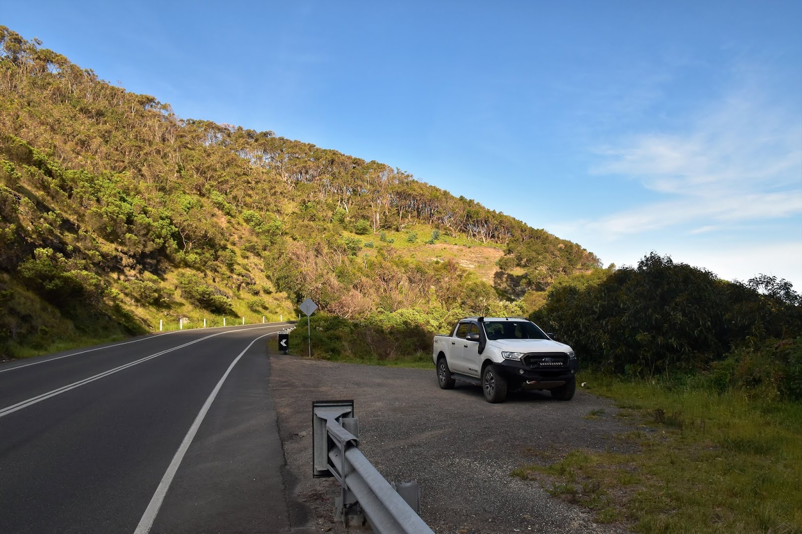
Today’s stroll turned out to be a bit of an unusual one in that for the most part it was a pretty easy day out, but it was punctuated in the middle with a fairly hard off track section that featured a close encounter with one of my reptilian friends as well as some seriously steep descending and climbing. The day started off pretty easy though as I motored my way down the Great Ocean Road under an overcast sky. After passing through Aireys Inlet I continued on another 10 kilometres before parking in a small carpark, a few metres before the Great Ocean Road crossed over Big Hill Creek. If this spot looks a little familiar then it’s probably because with the serpentine road almost looping back on itself here it has featured in a few car advertisements over the years.
 |
There is a small, informal car park near Big Hill Creek.
 |
| This was as close to the coast that I'd get for a few hours. |
|
Locking the ute I crossed the road and jumped the safety barrier to pick up an obvious, but un-signposted track that started to climb up the eastern side of a valley towards Big Hill. The fairly easy climb gave me a few glimpses across the valley of Big Hill Creek towards the next ridge to the west which would be my return ridge in a few hours. After climbing easily along Packhorse Track I veered left on the top of a ridge (no signpost) and climbed up to the summit of the 159 metre Big Hill. Like the majority of the high points on this walk Big Hill didn’t supply much in the way of views, the best I could hope for were for a few glimpses of the blue waters of Bass Strait through the trees.
 |
Climbing up Big Hill along Packhorse Track was a nice easy way to start today's stroll.
 |
| The ridge on the other side of the valley would be my descent route later this afternoon. |
|
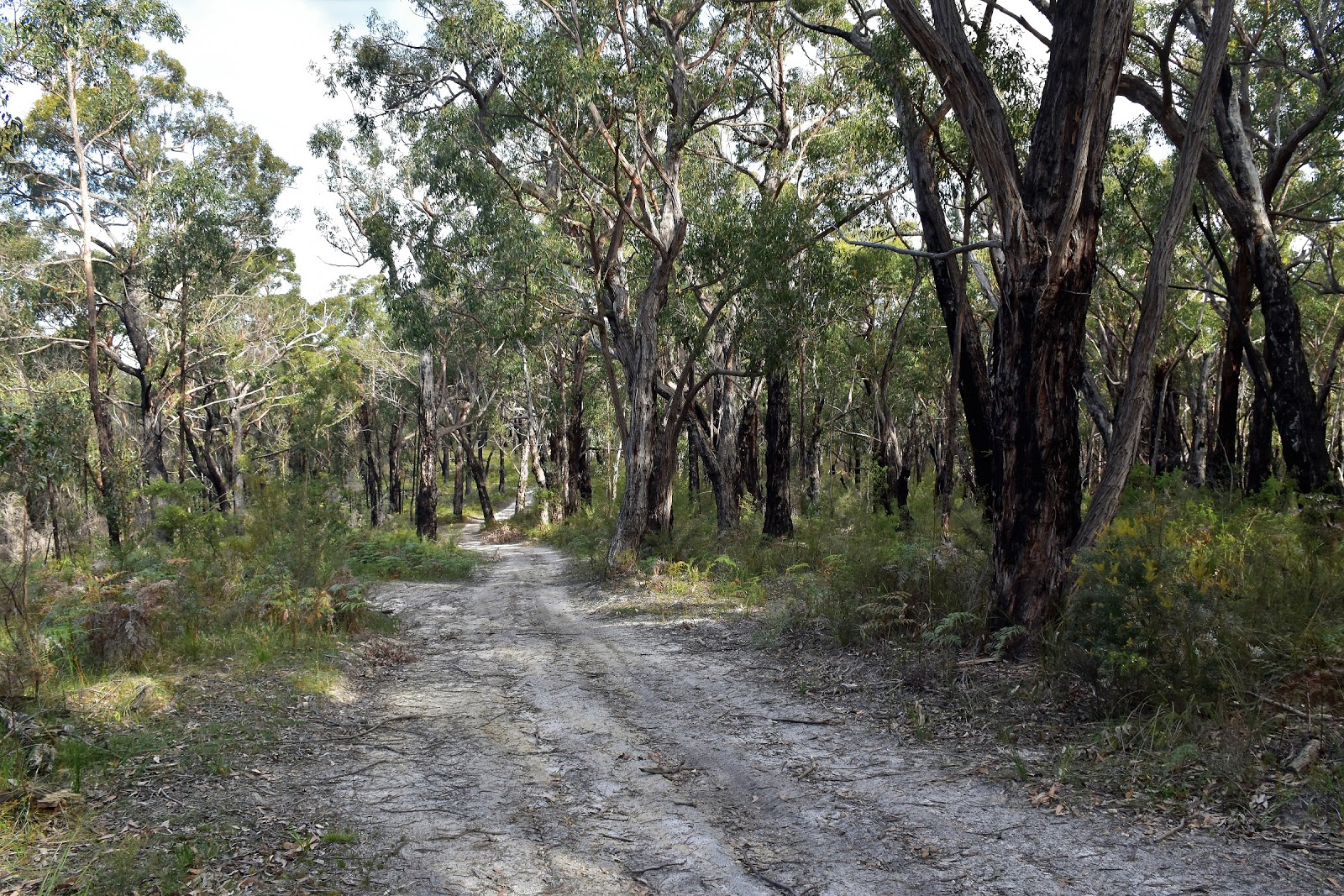
Turning to the north west at Big Hill I now followed Big Hill Track, firstly dropping through a saddle before once again climbing fairly easily for 3 kilometres or so to meet Reedy Creek Track. Big Hill Track is one of those undulating 4wd tracks that make for fairly relaxed walking. Ignoring Reedy Creek Track, which was notable as the track that would take me back to the coast in a couple of hours, I continued on along Big Hill Track for another kilometre passing over a knoll. Just as Big Hill Track start dropping down after passing over the knoll my days adventure started as I picked up the taped track that would drop me down to Horseshoe Falls. We’ll when I say ‘I picked up’ well I did for around ten metres and then promptly lost it!
 |
Big Hill Track
 |
I only managed to get a few glimpses of the blue water of Bass Strait through the trees as I walked along the ridge on Big Hill Track.
 |
| Big Hill Track |
|
|
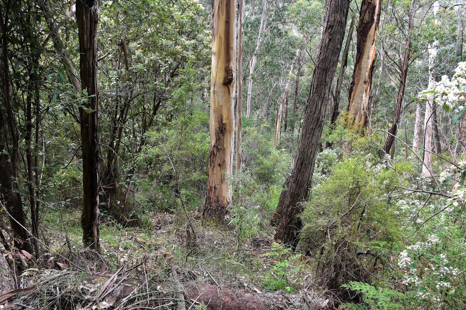
So having lost the pad and with no tapes visible to my eyes I decided that the Feral approach was the best option now. Higher up the open forest made off piste walking pretty easy, but things quickly got all vertical on me and I was now concentrating a little more. It was after stepping over a log going down here that I had my dancing with Copperhead experience. Stepping over a log on what was around a 45˚ slope I found myself sharing a 30 cm patch of flat ground with a Copperhead Snake….fuck! After what looked a bit like a Feral River Dance my serpent mate disappeared under the log and I made a quick exit in the opposite direction…..only to discover 5 metres down the
cliff hill that my sun glasses had dropped off my head, after scrambling back up I managed to find my glasses and resumed my descent. After the snake encounter the steep ground, loose rocks and scratchy scrub on the remainder of the descent didn’t seem to worry me too much. Somewhat ironically I found another piece of flagging tape just as I arrived at the creek downstream of Horseshoe Falls, I suppose my navigation wasn’t that bad after all.
 |
The turn off from Big Hill Track was flagged and easy to see....
 |
....but I lost the pad after all of about two metres!....
 |
| ....although I found it again (and the flagging tape) when I arrived down at the creek. |
|
|
Once I hit the creek it was just a matter of walking through the fairly light scrub on the north bank up stream for five minutes to arrive at Horseshoe Falls. It’s got a real lost world feel to it down here, ferns, moss covered rocks, rushing water and not a lot of signs that too many others had been down here before, it’s a magic spot. Arriving at the waterfall I dropped my pack and explored a little, Horseshoe Falls is one of those waterfalls that a you can actually get behind the curtain of water. After carefully rock hopping my way around the falls I returned to my pack and enjoyed my lunch in this beautiful spot, happily un-molested by both mosquitos and leaches.
 |
Horseshoe Falls is one of those waterfalls that you can get behind the curtain of water.
 |
It's fifty shades of green down here.
 |
Horseshoe Falls
 |
| Horseshoe Falls |
|
|
|
After taking in the atmosphere down here for awhile I shouldered my pack and set off for he climb back up to Big Hill Track. If anyone makes the effort to head down here then it’s worth while making the short side trip down stream for 50 metres or so to another beautiful, mossy rock overhang on a bend in the creek, like I said earlier there’s areal lost world feel to thous spot. After checking out the overhang I retraced my way back to the tape and started climbing.
 |
If anyone reads my waffle and visits this spot then it is well worth the short side trip downstream to check out this mossy cliff.
 |
 |
The late afternoon sun filtering through the ferny canopy added to the atmosphere.
 |
| There are a few large trees reaching for the sun. |
|
|
|
The good news here was that I actually managed to find something resembling a walking pad, it climbed a broad spur that was across a gully from the more westerly spur that I’d dropped down (both routes finish in a gully below Horseshoe Falls). The pad was very faint though, there was the occasional piece of flagging tape or broken branch but overall it was more instinct that kept me going in the right direction. It was a bloody steep climb up here too and I found myself wondering how I could get my hands on some of that Fair Dinkum Power that PM SlowMo waffles on about.
 |
I had a little more success following the taped pad on the climb out.
 |
| Things were still on the vague side though. |
|
Without a coal fired generator handy though I just had to plod my way up, after passing through a rocky bluff the track levelled out a bit …and disappeared again. So I ended up walking the last 100 metres or so back to Big Hill Track off piste again, meeting the track around 5 metres from where I’d left it a couple of hours ago.
 |
Not only was the pad vague but the climb was super steep.
 |
| I arrived back onto Big Hill Track a few metres from the spot where I'd left it a couple of hours ago so my navigation wasn't going to badly! |
|
Back on Big Hill Track my easy rambling resumed as I retraced my way back to Reedy Creek Track and started the long descent back down to the coast. Dropping down Reedy Creek Track I was slightly perturbed to pass a sign warning me of private property ahead, I wasn’t keen to drop all the way down to the coast only to have my way blocked by some private holiday houses. My main memories of dropping down Reedy Creek Track were of all the Wallabies out grazing in the open forest, it wasn’t hard to spot wildlife down here. The other thing that I noticed along Reedy Creek Track was the police tape marking certain, seemingly random sections of the forest, I’m guessing it was marking dangerous dead trees…or bodies?
 |
The walking was easy again as I dropped back down Big Hill Track to turn right down Reedy Creek Track.
 |
Turning down Reedy Creek Track I noticed this sign buried in the scrub. Looking at my notes and map it looked like I could weave my way through the private houses above the Great Ocean Road, but I wouldn't know for sure until I'd dropped 300 metres and walked the 5 kilometres.
 |
I'm not sure that I've ever seen a tree with more burls.
 |
| I'm not 100% sure of the reason for the police tape, I'm guessing it's an arse covering exercise by Parks Vic after a prescribed burn...although it's not really over run with punters down here and the tape was in random spots a fair way off the track?? |
|
|
|
Reaching some power lines I followed the easement under the lines south before meeting some cleared land and following a fence line towards the ocean. The views here are the best of the walk and I was also lucky today to have a couple of Wedge-tailed Eagles soaring on the thermals above me, I tried my best to get a photo but the results are pretty average. The photo doesn’t show it but the eagle that I photographed was one of the bigger Wedge-tailed that I’ve ever come across. It was along this section of the descent that I was expecting to have trouble with the private property issue but after following my notes and map carefully I emerged onto Broadbent Road along an access track between two private blocks, all was sweet now.
 |
It was fairly long descent down Reedy Creek Track, but it was very gentle.
 |
This was probably the least appealing section of today's stroll, although I only followed the power lines for less than a kilometre.
 |
My first good ocean views for the day.
 |
This Wedgetail Eagle was massive, but he stayed a fair way above me.
 |
I got a glimpse of the Lorne Pier as I dropped down.
 |
I managed to weave my way between the private property and arrive on the coastline without up
setting anyone. |
|
|
|
|
|
Crossing the Great Ocean Road I dropped down onto the deserted beach and started shuffling my way back up the coast towards Big Hill Creek. My notes actually describe the walk starting at this point, but seeing as I had a midday high tide today I’d started a little further along at Big Hill Creek so I could walk this section of coastline nearer low tide. My cunning plan actually paid off fairly well today, walking the exposed rock platforms and hard sand in the late afternoon light was a nice way to wind my walk down. With the beach section of the walk less than 2 kilometres it wasn’t long until I climbed up onto the verge of the Great Ocean Road and carefully walked the last few hundred metres back to the ute. Jumping in I set of home feeling very happy with life after this adventurous little stroll, life’s good!
 |
Looking back up the coastline towards Aireys Inlet.
 |
I'd left the beach section until the end of the day to get a lowish tide.
 |
This was a beautiful way to finish the walk.
 |
 |
It was getting pretty late in the day by now.
|
|
|
|
|
The Dirt.
According to my slightly dodgy GPS I walked 17.2 kilometres and climbed 716 metres on this Medium-Hard grade walk. Like I mentioned earlier this walk has a bit of yin and yang going on, for the most part it’s relatively easy going but the drop down to Horseshoe Falls and the climb back out makes for fairly tough walking. Signposting is very hit and miss on this stroll too, although if you keep an eye on the map everything is fairly straight forward. The section down to Horseshoe Falls is more or less off track, there is some tape marking the spot top leave Big Hill Track but I didn’t find anymore flagging tape until I arrived down at the creek. Climbing out I managed to follow taped route for the majority of the climb but lost it again near the top. Oh yeah, speaking of climbing and descending this section of the walk is seriously steep and loose, so take care if anyone decides to venture down. I used the notes out of Walking The Otways by the Geelong Bushwalking Club which is published by the House of Chapman.
Relevant Posts.
Lorne Forest Walk, Great Otway National Park, 2017.
Urquhart Bluff & Aireys Inlet, 2018.
Angelsea Perimeter Walk~West, 2016.
 |
This is a nice little beach to explore at low tide.
 |
 |
The beach is never more than a stones throw from the Great Ocean Road but the traffic isn't really intrusive.
 |
 |
| My walked finished with a couple of hundred metres along the verge of the Great Ocean Road. |
|
|
|
|
 |
| Time to head home after another nice walk. |


Walked this today from the deans marsh end of big hill track. The road bash ratio is very high. Coming from this direction there are a couple of tracks flagged off big hill tk so ensure you've got the right one. There's some new flagging on the off track but it is still difficult to follow. I lost it, picked it up and lost it again only to hit it at the creek. Make sure you are on the right spur and you can't go wrong, just go down. As is the nature of these things, the flagging is easy to follow coming out, now why is that?
ReplyDeletePretty falls and well worth the walk, but there are many better in the otways if you sniff them out.
Responsible 4wd's have cut a track around the gate. So, if you're a quiet australian, you can probably drive most of the way.
Cheers Craig, thanks for the update.
Delete