Wednesday, February 8, 2023

Jourama Waterfall Walk, Paluma Range National Park - May 2022


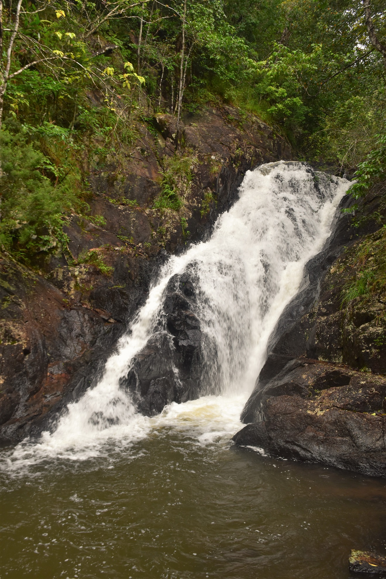
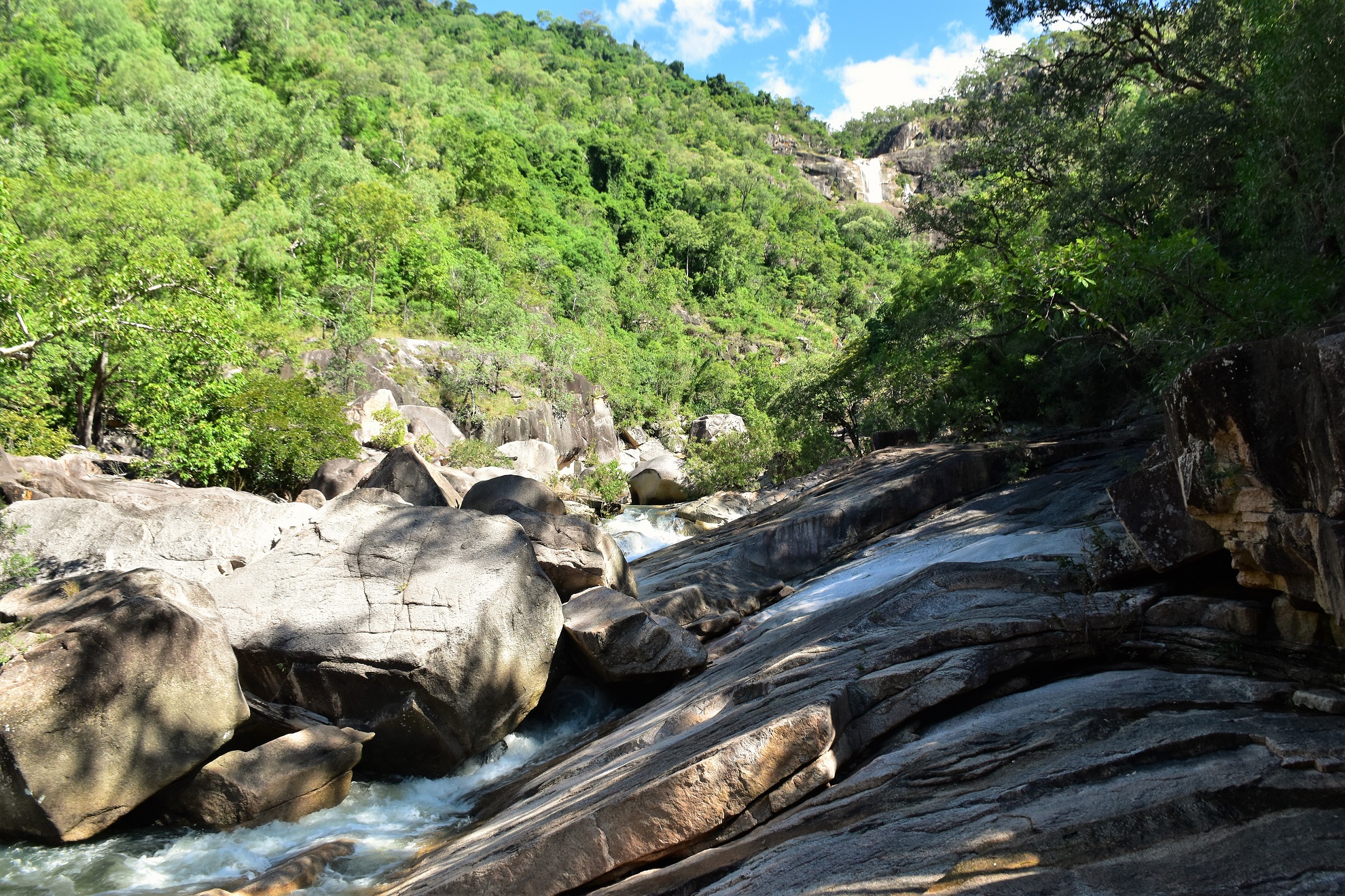
Jourama Falls is one of those multi tiered jobs which makes getting a photo of the whole falls difficult - this is one of the middle drops. 

This is another of those short walks that really doesn't count as a bushwalk, however at the same time it is a bit longer just a tourist walk to a lookout. As the scenery is pretty classy I've decided to write it up on the blog and as it turned out this is far from the worst walk on here. So anyway after following the signs off the Bruce Highway, and after a couple of nice creek crossings we pulled up in the carpark and set off to check out Jourama Falls.

The drive in and out featured a couple of decent creek crossings. 

The fords were only fairly shallow. 

The track to the falls starts off as a sealed path. 

Climbing the valley I was passing through fairly open savannah type of country. 

The track starts off as a sealed path as it climbs gently up the side of the valley for a few hundred metres, after passing the first swimming spot the track soon dropped down to cross Waterview Creek. The track across the creek is boardwalked and bridged although with all the recent rain we'd had the water was flowing over the track in a couple of spots. It was easy enough to get across, however it still required a little caution.

The crossing of Waterview Creek required a little caution today. 
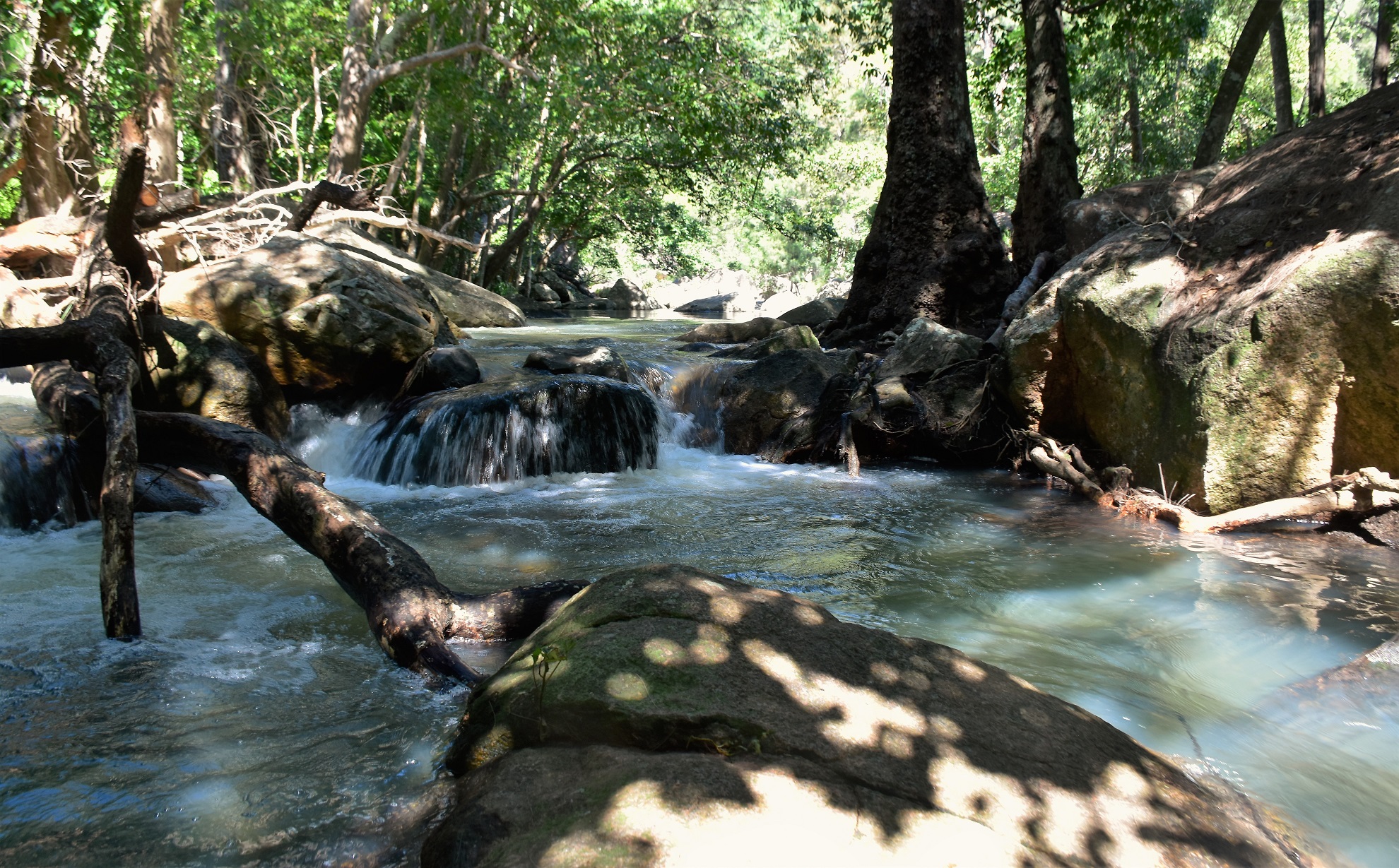
Waterview Creek.

Crossing Waterview Creek.

Once across the creek I started climbing. 

Once over the creek I avoided the side track to the rock pools and climbed instead up the numerous switchbacks to the Jourama Falls Lookout. The track up to the lookout was made of grippy rubber matting so once again the walking was pretty easy, although having said that there was still a climb of around 100 metres to knock out. The lookout allows for a good look at the multi drop waterfall, although catching the scene in a photo was a little tougher although I gave it a good go! 

Climbing higher the views got bigger. 

It's switchbacks and rubber matting up here.

Jourama Falls from the lookout - the cascades actually stretch for another 200 metres downstream. 

Jourama Falls.

After taking in Jourama Falls and checking out a couple of the different informal lookouts I dropped back down to the creek. I was now thinking of swimming, so when I got back down to water level I headed up stream to the rock pools area although with the volume of water coming down the swimming here looked a bit full on so I decided to give this spot a miss today. Retracing my way downstream I crossed the creek again and returned to the first swimming hole, this one even had a small sandy beach and it did me today! After cooling off for awhile it was time to head back to Townsville, happy that I'd seen these falls flowing after some good rain.


Back down at the creek...
... I scrambled up steam for a few minutes...

... to check out some potential swimming spots - although I gave this one a miss today and headed back downstream. 

Crossing back over the creek...

... I climbed a bit...

... before dropping down to this beautiful swimming spot. 

The Dirt.
My GPS dropped a cog again today so I'll go with my Alltrails figures on this one, according to my phone I walked around 2.8 kilometres and climbed about 110 metres on this easy stroll. This was an easy walk although it still had me sweating in the humidity so the swim was welcome at the end. Swimming here is pretty good and there are a multitude of options, so pick the swimming option that suits your ability. I used my Alltrails App on this stroll.

Relevant Posts.

Yes, I'm a little partial to some wild swimming.

Dropping back down to the ute. 

Sunday, February 5, 2023

Noosa Spit Walk, Noosa Spit Recreation Reserve - May 2022

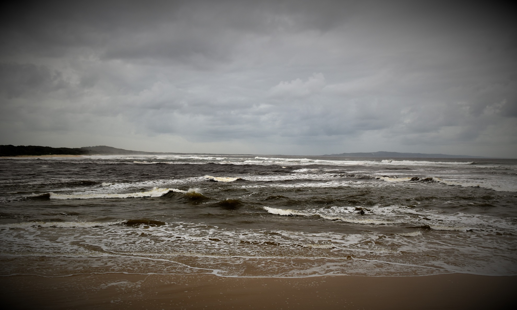
Looking north towards Double Island Point from the Noosa River Mouth. 

This was the last walk that Sam and I did on our Queensland road trip back in May 2022, so after a holiday that had included a lot of fairly easy walking it was appropriate that we finished off with another easy stroll. It was probably also appropriate that we did this walk in-between showers of rain as for a lot of this trip we'd been dealing with record breaking falls of un-seasonal rain. We started this stroll out onto the Noosa Spit at the western end of the Hastings Street and as we were staying on Hastings Street we didn't have to worry about parking this afternoon - if anyone does drive here then there is time limited parking out along the spit. 

Hastings Street was pretty quiet on this visit - maybe it was the rain, maybe it was Covid... I'm not sure? 

Sam and I set off across the Noosa Spit Recreation Reserve towards the shore of Lake Weyba.

Yet again it seemed I was looking for the details as the gunmetal grey skies weren't really conducive to great landscape photos - well, at least when I was behind the shutter anyway!

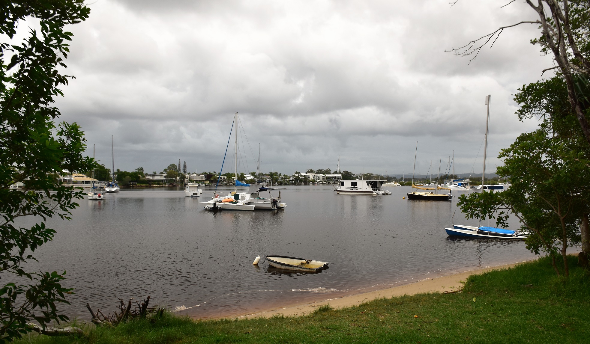
Lake Weyba.

We followed a sealed path for awhile before...

... branching off onto this sandy pad beside the mangroves. 

To start off we followed a sealed path beside Lake Weyba out onto the spit, Lake Weyba is really an estuary of the Noosa River and the mirror smooth water is home to an assortment of watercraft. Following the shoreline we swung left out into an area of mangroves, the sandy path that we were now following starting to flood in spots as the tide was high and there was a lot of water flowing down the Noosa River this afternoon. We now basically followed the waterline around until we arrived on the edge of the Noosa River as it made its way out to the heads.

We were now right on the border of the tropical coastal bush and the mangroves. 

The tide was coming in and at the same time there was a lot of water coming down the Noosa River...

... which meant that some of the tracks were starting to flood. 


Mangroves

The mountains in the hinterland were shrouded in cloud today.

We now followed series of paths towards the Noosa River Heads, always staying fairly close to the water. While the weather was grey and wet and not really conducive to good photos today, when we arrived at the Noosa River Mouth all the rain actually helped improve the scenery a little as the big flow of the river met the immovable incoming tide and created a fair bit of drama. After checking out the river mouth, Sam and I walked back towards Noosa along the beach for awhile before finishing off our walk through the dripping wet coastal rainforest.

Heading towards the heads we sometimes walked the lakes shoreline...

... sometimes informal pads through the bush...

... and sometimes a sealed path. 

I'd be a bit nervous letting Fido swim here with all the Bull Sharks.

We made it to the Noosa River Heads and walked a bit of the back back towards Noosa.

Noosa National Park in the distance. 

After following the beach for a hundred metres or so we swung inland...

... and picked up a sealed track heading back towards Hastings Street. 

The Dirt.
According to my GPS we walked around 3.9 kilometres and climbed about 70 metres (although the 30 metres recorded by my Alltrails App seems more realistic) on this easy walk. This walk follows variety of both formed and un-formed tracks and paths, the mangrove section is particularly informal however there are good sandy paths the whole way. Swimming would be possible in many spots although once again there would be a variety of hazards to take into consideration. We used my Alltrails App along with my GPS topos this afternoon. 

Relevant Posts.

The Greens Party must be popular up here😕

Noosa Spit Recreation Reserve. 


Our most notable wildlife encounter was with this Golden Orb Spider that had it's web dropped across the path. 

This was our last walk in Queensland on this trip up north. 


Thursday, February 2, 2023

Dinner Falls & The Crater, Mt Hypipamee National Park - April 2022


The Crater at Mt Hypipamee National Park is an old volcanic vent.

After spending more than a week baking in the desert heat in outback Queensland Sam and I headed across to the Atherton Tablelands for a few days to chase some waterfalls. Our visit to the wet tropics coincided with a unseasonable rain bomb hitting the area so we were now dealing with constant rain. Looking for something to do for awhile while Sam chilled out at out apartment at Lake Tinaroo I thought that I'd head out to Mt Hypipamee National Park and do the short walk out to The Crater and Dinner Falls.

It is a rainforest after all.

I had no luck toady on the Cassowary front - lots of Scrub Turkeys though!

Locking the ute I grabbed my umbrella, camera and set off into the dense rainforest to see what could see. The path out to The Crater is a sealed path that would be suitable for wheelchairs or prams and with me juggling an umbrella, a phone, a GPS and a DSLR I was glad the walking was pretty straightforward. It was only 15 minutes before I arrived at The Crater, this deep hole in the rainforest was a spectacular sight even in the wet and overcast conditions so I'm thinking beneath a blue sky it would look even better. The Crater is actually an old volcanic vent which now has a small water filled lake in the bottom of it 60 metres directly below the vertigo inducing lookout platform. Incidentally the water is thought to go down another 85 metres below the algae covered surface.

The Crater section of the walk is on a wheelchair standard track.

Mt Hypipamee National Park.

The Crater Track.

The lookout at the Crater is actually partially cantilevered out over the abyss.

The Crater.

The sheer walls of the Crater.


After safely getting a photo of The Crater without my trekking umbrella flying into the water I resumed my short journey. I now dropped down a rougher track to meet the headwaters of the Barron River at Dinner Falls. The river below the falls has a small weir which has created a nice swimming hole although with the rain still coming down swimming wasn't high on my list of things to do at the moment. Leaving Dinner Falls the track follows the northern slopes above the Barron River as it heads back up to the carpark, there are a couple of opportunities along here to photograph some more waterfalls and cascades although the national park folk ask that the punters don't jump over the lookout barriers.

Dropping down towards Dinner Falls I passed above this nice cascade.

Dinner Falls

Dinner Falls

There is a small weir below Dinner Falls which would make for a decent swimming spot I think - although not today!

I had a bit of a climb away from Dinner Falls...

... although the Barron River with its numerous cascades was never far away.

The Dirt.
According to my GPS I walked around 1.7 kilometres and climbed about 78 metres on this very easy walk. The carpark has picnic facilities, a toilet and information boards. The track out to The Crater and back should be wheelchair friendly. This walk is written up in the Woodslane book Best Walks around Cairns & the Tablelands. I used my Alltrails map and my GPS topos on this walk.

Relevant Posts.

After one final climb...

... I re-joined the wheelchair friendly Crater Track.

Mt Hypipamee National Park.


My Alltrails App suffered from a bit of user incompetence! 

Pelion Hut to Mt Ossa return, Overland Track - April 2010

Mt Oakleigh from the Pelion Hut heli pad. I think the mountain just visible in the mist in the distance is Cradle Mountain... ... the flat t...