
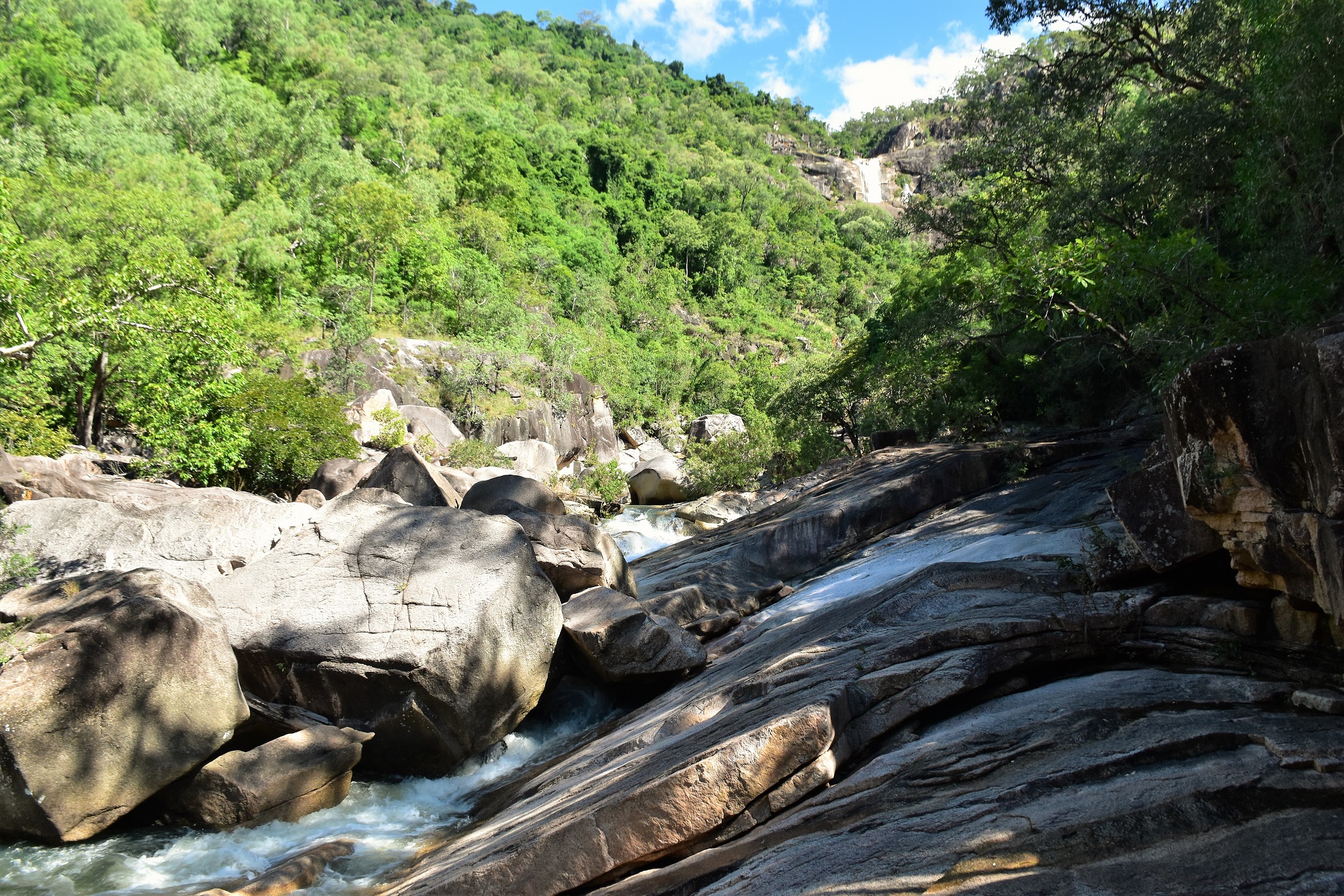
Jourama Falls is one of those multi tiered jobs which makes getting a photo of the whole falls difficult - this is one of the middle drops.

The drive in and out featured a couple of decent creek crossings.

The fords were only fairly shallow.

The track to the falls starts off as a sealed path.

Climbing the valley I was passing through fairly open savannah type of country.
The track starts off as a sealed path as it climbs gently up the side of the valley for a few hundred metres, after passing the first swimming spot the track soon dropped down to cross Waterview Creek. The track across the creek is boardwalked and bridged although with all the recent rain we'd had the water was flowing over the track in a couple of spots. It was easy enough to get across, however it still required a little caution.

The crossing of Waterview Creek required a little caution today.
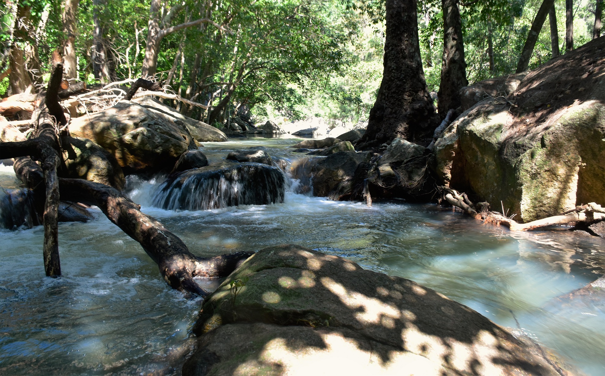
Waterview Creek.

Crossing Waterview Creek.

Once across the creek I started climbing.

Climbing higher the views got bigger.

It's switchbacks and rubber matting up here.

Jourama Falls from the lookout - the cascades actually stretch for another 200 metres downstream.

Jourama Falls.
After taking in Jourama Falls and checking out a couple of the different informal lookouts I dropped back down to the creek. I was now thinking of swimming, so when I got back down to water level I headed up stream to the rock pools area although with the volume of water coming down the swimming here looked a bit full on so I decided to give this spot a miss today. Retracing my way downstream I crossed the creek again and returned to the first swimming hole, this one even had a small sandy beach and it did me today! After cooling off for awhile it was time to head back to Townsville, happy that I'd seen these falls flowing after some good rain.

Back down at the creek...
... I scrambled up steam for a few minutes...

... to check out some potential swimming spots - although I gave this one a miss today and headed back downstream.

Crossing back over the creek...

... I climbed a bit...

... before dropping down to this beautiful swimming spot.
The Dirt.
My GPS dropped a cog again today so I'll go with my Alltrails figures on this one, according to my phone I walked around 2.8 kilometres and climbed about 110 metres on this easy stroll. This was an easy walk although it still had me sweating in the humidity so the swim was welcome at the end. Swimming here is pretty good and there are a multitude of options, so pick the swimming option that suits your ability. I used my Alltrails App on this stroll.
Relevant Posts.

Yes, I'm a little partial to some wild swimming.

Dropping back down to the ute.


No comments:
Post a Comment