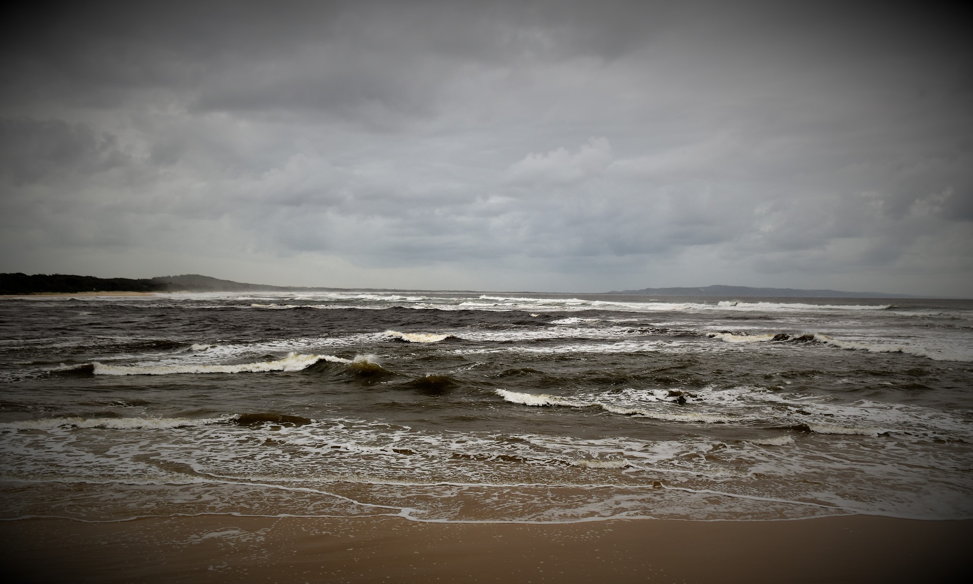
Looking north towards Double Island Point from the Noosa River Mouth.

Hastings Street was pretty quiet on this visit - maybe it was the rain, maybe it was Covid... I'm not sure?

Sam and I set off across the Noosa Spit Recreation Reserve towards the shore of Lake Weyba.

Yet again it seemed I was looking for the details as the gunmetal grey skies weren't really conducive to great landscape photos - well, at least when I was behind the shutter anyway!
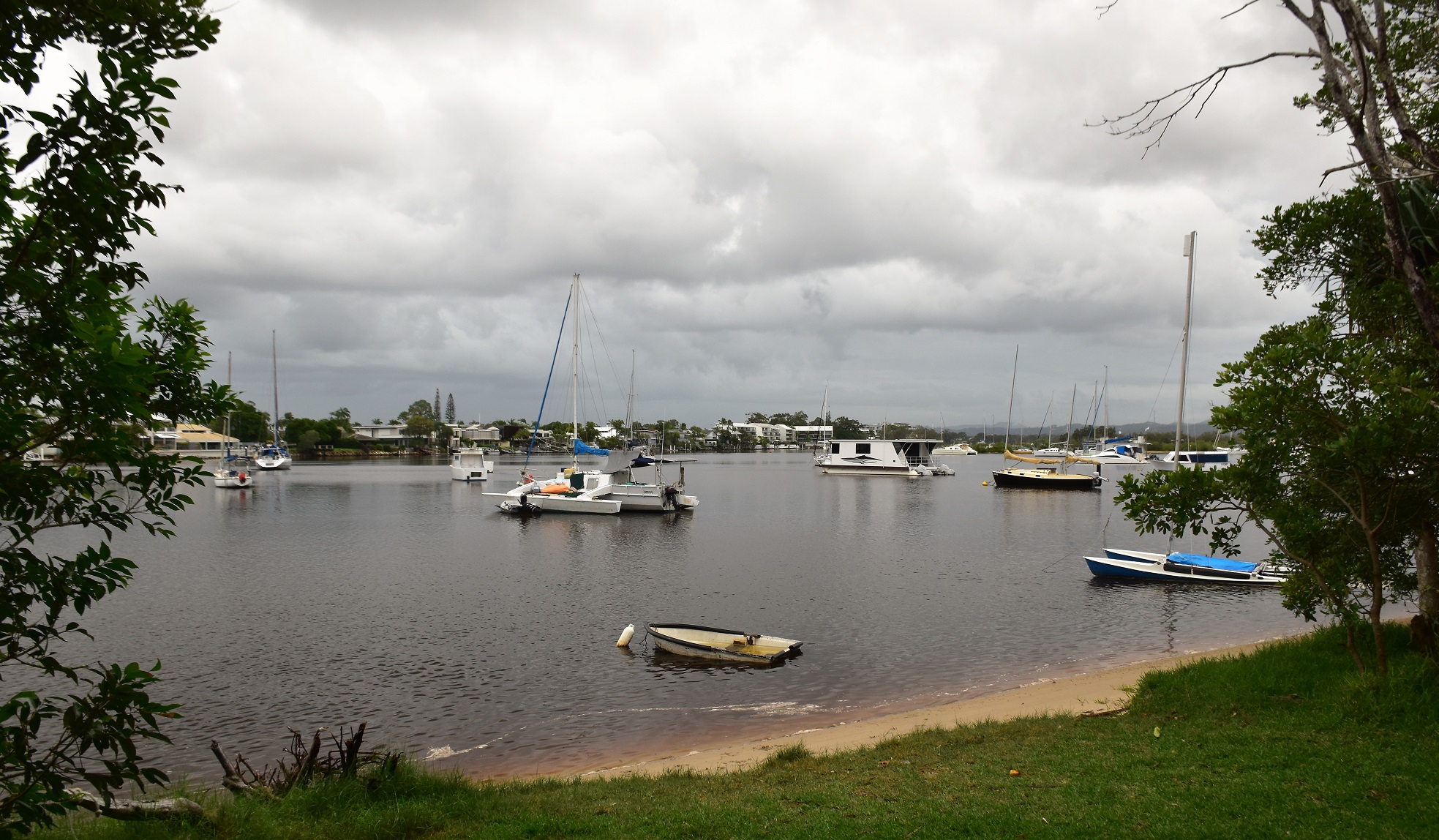
Lake Weyba.

We followed a sealed path for awhile before...

... branching off onto this sandy pad beside the mangroves.

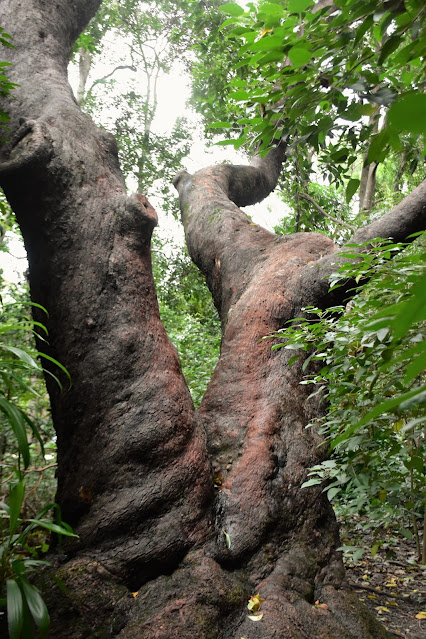
We were now right on the border of the tropical coastal bush and the mangroves.

The tide was coming in and at the same time there was a lot of water coming down the Noosa River...

... which meant that some of the tracks were starting to flood.


Mangroves

The mountains in the hinterland were shrouded in cloud today.
We now followed series of paths towards the Noosa River Heads, always staying fairly close to the water. While the weather was grey and wet and not really conducive to good photos today, when we arrived at the Noosa River Mouth all the rain actually helped improve the scenery a little as the big flow of the river met the immovable incoming tide and created a fair bit of drama. After checking out the river mouth, Sam and I walked back towards Noosa along the beach for awhile before finishing off our walk through the dripping wet coastal rainforest.

Heading towards the heads we sometimes walked the lakes shoreline...

... sometimes informal pads through the bush...

... and sometimes a sealed path.

I'd be a bit nervous letting Fido swim here with all the Bull Sharks.

We made it to the Noosa River Heads and walked a bit of the back back towards Noosa.

Noosa National Park in the distance.

After following the beach for a hundred metres or so we swung inland...

... and picked up a sealed track heading back towards Hastings Street.
The Dirt.


According to my GPS we walked around 3.9 kilometres and climbed about 70 metres (although the 30 metres recorded by my Alltrails App seems more realistic) on this easy walk. This walk follows variety of both formed and un-formed tracks and paths, the mangrove section is particularly informal however there are good sandy paths the whole way. Swimming would be possible in many spots although once again there would be a variety of hazards to take into consideration. We used my Alltrails App along with my GPS topos this afternoon.
Relevant Posts.

The Greens Party must be popular up here😕

Noosa Spit Recreation Reserve.


Our most notable wildlife encounter was with this Golden Orb Spider that had it's web dropped across the path.

This was our last walk in Queensland on this trip up north.


No comments:
Post a Comment