 |
The old Hawthorn Railway station was pretty quiet on this Sunday morning.
|
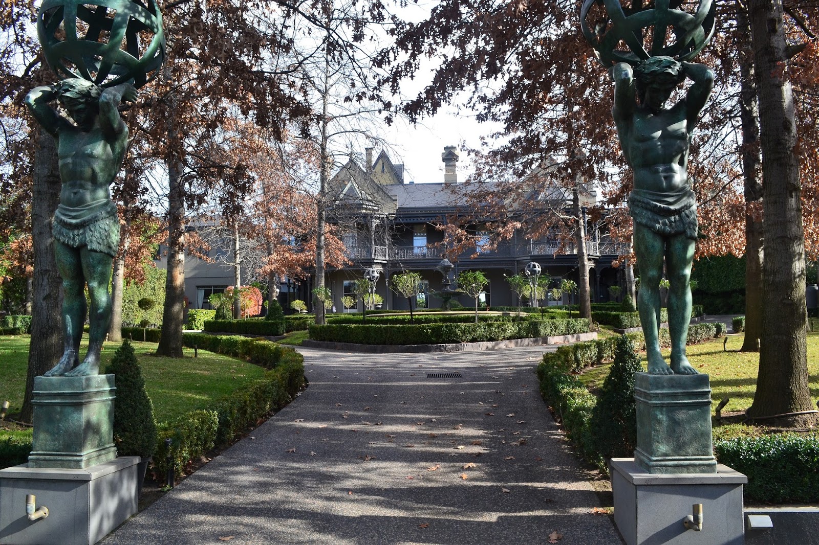
With last weekend being a long weekend in Melbourne I decided to stay fairly close to home, the older and grumpier I get the less I can be bothered with the holiday traffic on the roads. After heading out to Lerderderg on Saturday I figured that Sunday would be my day of rest. Sam and I decided to head into the city and re-walk a stroll that we had done together probably 15 years ago, a walk from Hawthorn into the CBD along the Yarra River. This is a walk written up by the grand master of bushwalking in Australia Mr Tyrone T Thomas, and with his notes being at least 17 years old I was interested to see if things still matched up on the ground.
 |
I'm not sure what the go is with the tongue?... street art in Hawthorn.
|
 |
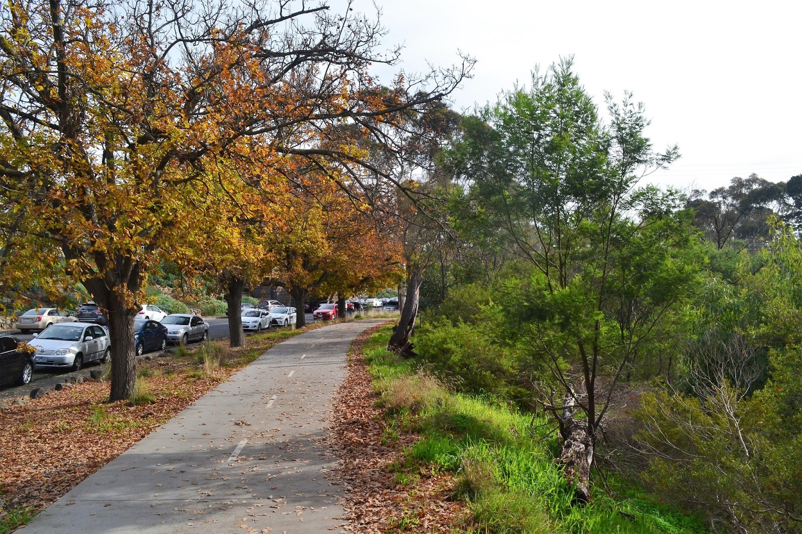
Our walk started by following this quiet path back up beside the railway line.
|
Our day in the city started off with a train journey to Hawthorn Station where Mr Thomas had thoughtfully started his notes from. Leaving the station we soon worked out where we were on his mud map and we were away. Being fairly early on a Sunday morning the leafy streets of Hawthorn were a bit on the quiet side this morning in fact until we arrived onto the banks of the Yarra River we barely saw another pedestrian. After following a narrow path back beside the railway line we picked up Yarra Street and crossed the railway line. We now started a bit of a historical interest walk, which you'll be happy to know that I've almost forgotten all the details of.
 |
| Now I had notes telling me all about these old houses.....but do you think that I can match them up with my photos?
|
After heading along Yarra Street for a few hundred metres we turned Isabella Grove to check out the old German consulate among many other fine old buildings. Now I did take (slightly dodgy) photos of many of these grand old buildings and I do have notes explaining the history of the same buildings, but I'm buggered if I know which photo corresponds with which description in my notes, yeah I'm highly organised. Turning down Shakespeare Grove which soon became Coppin Grove we started to get a few distant views of the CBD skyline through peoples back yards, now my old notes had suggested that this walk was around 8 kilometres but gazing at the somewhat distant skyline I was starting to have some doubts.
 |
Isabella Grove, Hawthorn.
 |
As we made our way along Shakespeare Grove the flash house continued, this one looked to be one of the more opulent.
 |
I reckon the Brady Bunch lived in this one.
|
|
|
Dropping down to the Yarra River at the Hawthorn Rowing Club we followed the brown river for around twenty metres before climbing up and crossing the imaginatively named Bridge Road Bridge. Once on the western side of the Yarra River we dropped down and started a stretch along the Main Yarra Bicycle Trail, this is a concrete shared path but it pays to keep alert to bikes coming up behind you fairly quickly. Thankfully most of my two wheeled brothers and sisters were pretty chilled out on this Sunday morning, I'd hate to walk along here in peak hour on a weekday. With Swan Street now parallel to us we eventually left the shared path, crossed Swan Street and took a bit of a stroll through the Burnley Horticultural College.
 |
We arrived at the Yarra River at the Hawthorn Rowing Club.
 |
Bridge Street early on a Sunday morning.
 |
The shared use Main Yarra Trail.
 |
The grounds of the Burnley Horticultural College.
|
|
|
|
Leaving the grounds of the college we wandered down the Boulevard a little way before heading through Bartlett sporting reserve, a heaving mass of parents and children out on the many sporting fields this morning. We now made our way over the railway bridge over the huge City Link Freeway and the Yarra River, a narrow pedestrian walkway allowing safe passage. Once across the bridge we entered another very flash suburb, Toorak. For anyone who doesn't know Toorak is home to probably the priciest real estate in Victoria, in fact this whole stroll passes through some very pricey suburbs, well pricey for the Feral walker anyway. Judging by the number of Lamborghinis and Ferraris that we saw, not to mention the flash houses, these areas aren't to pricey for a lot of people, bugger me I didn't know that there was so many rich people around.
 |
Crossing City Link the CBD still looked a fair distance away.

|
 |
The Feral walker out of his comfort zone in the leafy streets of Toorak.
 |
I could be proved wrong but I think Toorak is the most expensive real estate in Victoria.
|
|
|
|
Toorak provided another brief interlude away from the banks of the Yarra River before we once again descended to the river at Grange Road. The rest of our walk had us following the southern bank of the Yarra River all the way into the CBD, the good news is that the main Yarra Trail was now on the opposite side of the river so that the bike path on this side of the river was fairly quiet. Following the meandering river side path the high rise buildings slowly got higher and higher as we walked past a series of land marks, the bubble stadium, the tennis centre, the Botanic Gardens are all just a short walk off the path. Reaching the Swan Street Bridge we had to walk the Tan Track beside the Botanic Gardens for a short section to avoid some roadworks, the Tan is a very popular jogging come walking track near the CBD, popular with a lot of city workers as well as a fair share of celebrities and sports people, and the many punters who want to rub shoulders with said celebrities. Our walk was coming to its end now though, we crossed back over Alexandra Avenue to the bank of the river to walk the last few hundred metres to the bustling South Bank, as the southern entrance to the CBD this was as good as anywhere to finish our walk. Now remember way back at the start of this rambling tale I'd mentioned that the city looked a long way away, while my old notes suggested that the walk was 8 kilometres my GPS logged this walk in at 12 kilometres, so much for my day of rest.
 |
On leaving Toorak we more or less followed the Yarra River all the way into the CBD.
 |
The houses in Richmond aren't quite as flash as Hawthorn or Toorak, but they are still pretty nice.
 |
The bubble stadium.
|
|
|
The Dirt.
So having walked 12 kilometres at an average speed of 4 kph and climbed 122 metres I suppose I'd still rate this as an easy walk, although it is getting up there in length the walk is all on pretty easy paths. Like I mentioned earlier we were using a set of Tyrone T Thomas' notes out of his old 120 Walks In Victoria, this book dates back to 2000 but we found that Tyrones notes and old mud maps are still pretty accurate for this walk. If your looking for a half days walking before heading into the CBD for some shopping or similar then this is a nice walk that you could consider.
Relevant Posts.
 |
| We had to walk a short section of the Tan Track to avoid some road works. |
 |
| Looking across the Yarra River to Federation Square. |
 |
| We've just entered Southbank, probably as good a place as any to finish off the stroll. |


No comments:
Post a Comment