 |
| One of the damper sections of Friends Track. |
This is another one of those walks that you probably wouldn’t want to travel a long way for, but if you live close by or are down on the Mornington Peninsula on holidays then its worth a look. To be honest I was looking for a short ramble close to home as I was experimenting with my GPS and maps. For the train spotters out there this post is the first time I’ve downloaded my route off my GPS onto Google Maps. I’ve been holding off on this development for three reasons, the first reason being is that I hadn’t worked out how to do it, the second reason being that my GPS seems as reliable as a sun dial on a cloudy day and the third reason is that I don’t want to cut the professional guide book authors lunch. Obviously I’ve worked the first couple of issues out (kinda), but I’m still a little undecided when it come tho the third issue….we’ll see. I’ll probably start filtering in the new maps as I work through my back log of unpublished waffle.
 |
| There's rough car park beside Arthurs Seat Road. |
This walk starts at the same spot that the OT Dam walks starts from and initially heads down the same wide fire break before heading off to the left towards Arthurs Seat. Now that’s all interesting enough (in a navel gazing, blogging kind of way;) but the main reason I’ve included the turn to the left is that the only guide book that describes this walk mentions a turn to the right. Now I’d already picked up this error when I was reading about the walk before leaving home but if you are new to the area it might make things a little confusing. There are a couple of other things that can be confusing on this easy stroll, the first being that the signage can be a little eclectic and the second navigation issue is that the Red Hill Riders Mountain Bike Club have cut a lot of tracks through here and they aren’t all signposted when intersecting with the walking tracks.
 |
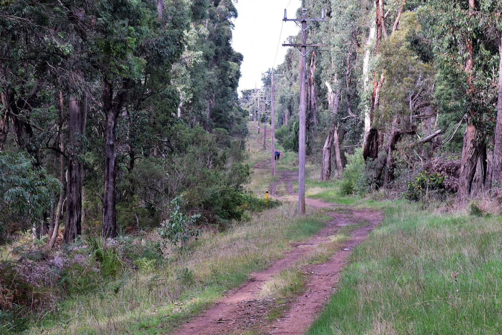
The walk starts off following this wide fire break down hill...
 |
| ...before turning left along this 4wd track. |
|
So anyway I turned left off the main fire break onto a 4wd track that is signposted and around 100 metres later turned left again, onto a walking track that isn’t signposted, this is Friends Track. This single track is allegedly a walking track but my mountain bike brothers are obviously coming through quite often judging by the wheel tracks in the muddier sections. Friends Track mostly contours along the side of Main Ridge along here and this is actually a really nice walk, sure there is nothing super scenic, but the open Stringybark forest and damp ferny gullies which are generally crossed on duck boards make for good walking.
 |
The forest along here is predominantly fairly open Stringybark.
 |
After following the 4wd track for 100 metres or so turn left onto this un-signposted walking track.
 |
| Friends Track |
|
|
After crossing two 4wd tracks, the second one of which I followed towards Arthurs Seat Road for a couple hundred metres before heading right on an un-signposted walking track, I arrived at another wide grassy firebreak. This firebreak borders the flash houses of Arthurs Seat but I wasn’t heading any further that way, instead I turned left and climbed the grassy track up to meet Arthurs Seat Road on the top of the ridge. Once meeting Arthurs Seat Road I was thinking that the walk would be pretty shitty really, but thankfully there are enough normal tracks running far enough inside the tree line that for the most part the light traffic on Arthurs Seat Road wasn’t really all that intrusive.
 |
Looking down towards Port Phillip Bay.
 |
Port Phillip Bay
 |
| Veer right off the second 4wd track onto this walking pad. |
|
|
Wandering back towards the ute I avoided a couple of tracks that started heading too far back into the scrub, before following some power poles for the last kilometre back to complete the loop. The go along the Arthurs Seat Road section of this stroll is if you find yourself dropping of the ridge line too far then you are probably on the wrong track (you won’t really get lost though, it’s a small park with plenty of tracks), Arthurs Seat Road more or less sticks to the crest of the ridge. Arriving back at the ute I jumped in and headed off to Mornington for a coffee, life’s tough!
 |
There were some views up the coast towards Mount Martha through the trees (if you use a lot of imagination).
 |
Arthurs Seat
 |
| I followed this grassy fire break up to meet Arthurs Seat Road. |
|
|
The Dirt.
Ok, I walked 4 kilometres and climbed 97 metres on this easy stroll. Reading my waffle you might think that navigation is an issue but really it’s such a small parcel of native land that has a main road running along the top of the ridge you are never going to get really bushed. That said, you’d want to make sure you turn to the left and not the right as you descend the firebreak at the start of the walk, which gets me onto notes. Parks Vic have some free stuff online but their map doesn’t show all the tracks. Ken Martin has written the walk up in his book
Walks of the Mornington Peninsula but his map is a little limited too. I carried the Meridian Arthurs Seat map but to be honest a little common sense and my GPS got me through without any real dramas.
Relevant Posts.
Bald Hill, 2014.
 |
| The walk back to the ute along Arthurs Seat Road was actually better than I'd feared. |
 |
| It'd be pretty hard to get too far bushed along here. |
 |
| Another pleasant little walk coming to it's end. |


Did you not see the ruins near the end of the track?early settler fireplace etc
ReplyDelete