 |
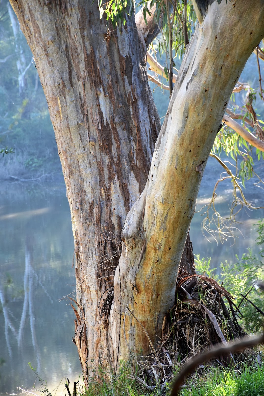
Early morning on the eastern bank of the Yarra River at Bulleen.
 |
| This bloke posed for me for awhile. |
|
There is a new freeway in the pipeline for Melbourne’s eastern suburbs, I think it’s going to be called the North East Link or some such. The new road will provide the missing link between Melbourne’s Eastern Freeway and the Ring Road. I’m guessing anyone reading this is probably nodding off after that inspiring oratory about Melbourne’s future road network, but there is a reason I’m putting everybody to sleep, well a slightly tenuous reason anyway. Yep, from what I can tell, after an extensive two minutes of research on Google, it appears that the new freeway is going to cut through the guts of this walk. While the new road will be going subterranean for a fair way, I’m not sure how much of the walk will be lost really. So anyway, with some nice weather predicted for this Saturday I decided to head up to Bulleen and document what things were like pre freeway on my blog.
 |
| The weather was looking beautiful this morning. |
Parking the ute in the almost empty carpark underneath the power transmission lines to the south of Banksia Street (it was around 7am, so most punters were obviously still in bed), I was soon on my way. After picking up the Main Yarra Trail for fifty metres or so I climbed up onto the footpath beside Banksia Street and crossed the bridge over the Yarra River. I was now looking for a track that would meander it’s way south along the eastern bank of the river, I say
looking as things were a little informal last time I walked here with Sam ten years or so ago. Now days things are even more vague than my hazy recollections though, after dropping off the bridge I initially didn’t see much resembling a pad heading south. After crossing over a section of wet grass I entered some scrub and my pad became a little more defined, although really until I’d meet up with the Koonung Creek Trail near the Eastern Freeway things would stay a little cryptic.
 |
My first look at the Yarra River was as I crossed the Banksia Street Bridge.
 |
I wandered down to the river through this gate.
 |
Once down beside the river things got a little more informal.
 |
| Once into the scrub the old track was pretty easy to define. |
|
|
|
After walking only a few hundred metres I arrived at my next conundrum, my track notes said to
‘use footbridges to pass across a former billabong river loop’ yeah, no worries, except for the minor inconvenience that the only thing left of the bridges were their stumps in the brown muddy water. Time to improvise, consulting the old mud map it appeared that I might be able to track around the outside of the loop. Wading through the knee high wet grass following a series of informal pads I got to a spot where I could cross the muddy channel and I was heading the right way again. After a bit of exploring I was soon back on track again as I followed the turgid water of the Yarra River south.
 |
I reckon this'll test out the Feral hamstrings!
 |
After a bit of meandering around I eventually picked up a good track again.
 |
I'm wondering if Parks Vic have deliberately let this walk go because of the up coming freeway?
 |
 |
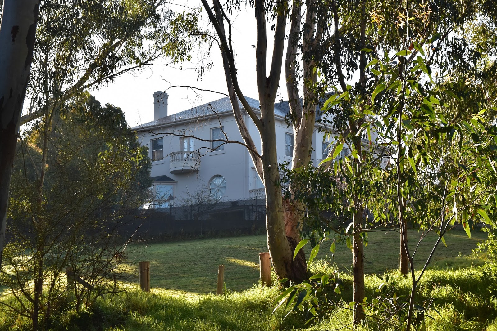
The pad south along the eastern bank of the Yarra River passes close to some very flash houses.
 |
The Yarra River, Bulleen.
|
|
|
|
|
|
I looks like Parks Vic have deliberately let this walk go a bit, I’m guessing because of the up coming freeway. Passing a dilapidated picnic table it was obvious no money was getting spent here anymore. I was now meandering my way south towards a complex of sporting ovals which include the large Veneto Club. Even though the pad was a little vague in spots the going was now pretty good, the huge old Red Gums lining the river along with the colourful Wattles in bloom all added to my sense of revery this morning. After passing behind the sporting ovals I arrived at the walks next conundrum.
 |
It was sometimes hard to believe that I was in the middle of Melbourne's eastern suburbs this morning.
 |
Yarra River
 |
 |
There is a fair section of parkland walking along here.
|
|
|
|
According to my notes I should
‘emerge through a break in a fence on to a golf course’. Arriving at the afore mentioned hole in the fence I was greeted with a no entry sign, hmmm? Judging by the pad heading up on to the golf course it looks like most people just pass through without any trouble, what to do? Luckily for me a friend of mine happened to walk by at that exact time and we came up with a cunning plan, I’d walk around this obstacle and my mate, we’ll call him the Old Fat Bastard, would take my GPS through the golf club and I’d meet him again at the Koonung Creek Trail. Reporting back to me, my old fat friend said that there was no issue getting safely through the golf course, he just used common sense and stayed off the fairways, he mentioned that he mostly followed a formal track that the golf carts use. After passing through a fence between the Eastern Freeway and the Yarra River my old mate soon reunited me with my GPS and as mysteriously as he arrived, he was gone, bugger me that was lucky! Hey, it’s not only conservatives that can use alternative facts.
 |
Hmmm....
 |
 |
Way too handsome :)
 |
Leaving the golf course the pad follows the Yarra River below the Eastern Freeway.
|
|
|
|
The Koonung Creek Trail is a concrete shared use trail and I now followed it for a few hundred metres west, passing underneath the Burke Road Bridge. It was now that I met up with the Main Yarra Trail which I would be now following all the way back to the ute. Crossing the Yarra River it quickly became pretty obvious that things were a little different on this side of the river, first of all the walking and cycling infrastructure was all in good nick. Secondly I noticed immediately that this section of the walk was a lot busier, with lots of people out walking their dogs as well as pelotons of sweaty, middle aged blokes in their Lyrca making the most of the nice weather.
 |
Crossing the Yarra River again and starting back towards the ute.
 |
The Burke Road Bridge featured some fairly good street art.
 |
| Easy going on the Main Yarra Trail. |
|
|
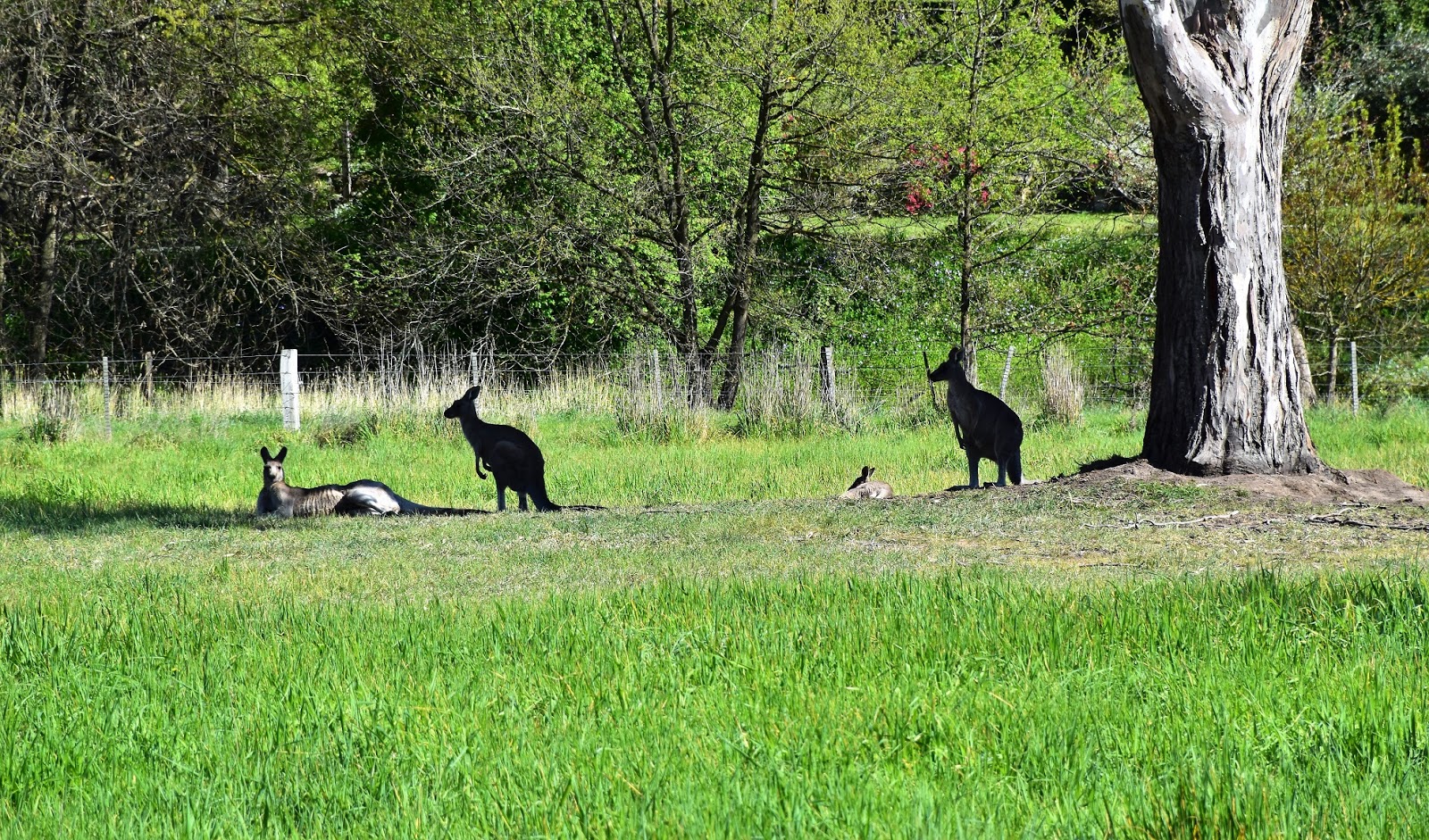
Heading north along the Main Yarra Trail I was now following a section of the Heildelberg School Artists Trail, the path now featuring plenty of information boards highlighting points of interest where the Heildelberg School Artists had painted a particular scene. Stopping to photograph a lazy bend in the Yarra River I immediately checked out the results on my led screen, yeah I think it’s safe to say that I’m no Arthur Streeton! I may not have the talent but I do have a lot of enthusiasm though and there were a few things to muck around taking photos of along here. Apart from the meandering river and it’s views there was also a lot of wildlife around, especially considering that I was well and truly walking through Melbourne’s Eastern suburbs. My walk was now coming to it’s conclusion though, after stalking a bit of the local wildlife I arrive back at the ute, pulled off my boots and headed off home. It might of been a bit of a tame walk but it was one that I enjoyed revisiting and it’ll be interesting to revisit it again in another ten years or so after the freeway has finished being built.


I really enjoyed reading about your Yarra Flats walk and the way you captured the details of the landscape. It’s fascinating how Melbourne’s eastern suburbs blend natural beauty with urban development. For anyone considering adding functional space to their property while staying close to nature, granny flats can be a great solution, offering both convenience and a way to enjoy local surroundings without major disruption.
ReplyDelete